Braham Wood
Wood, Forest in Yorkshire Harrogate
England
Braham Wood
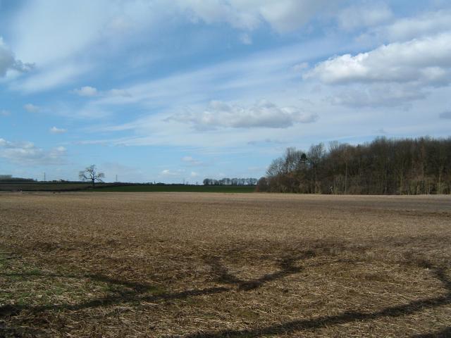
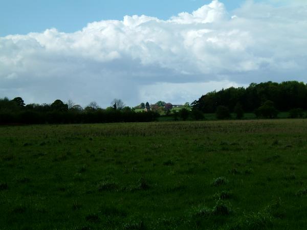
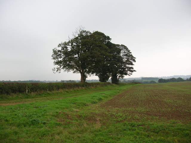
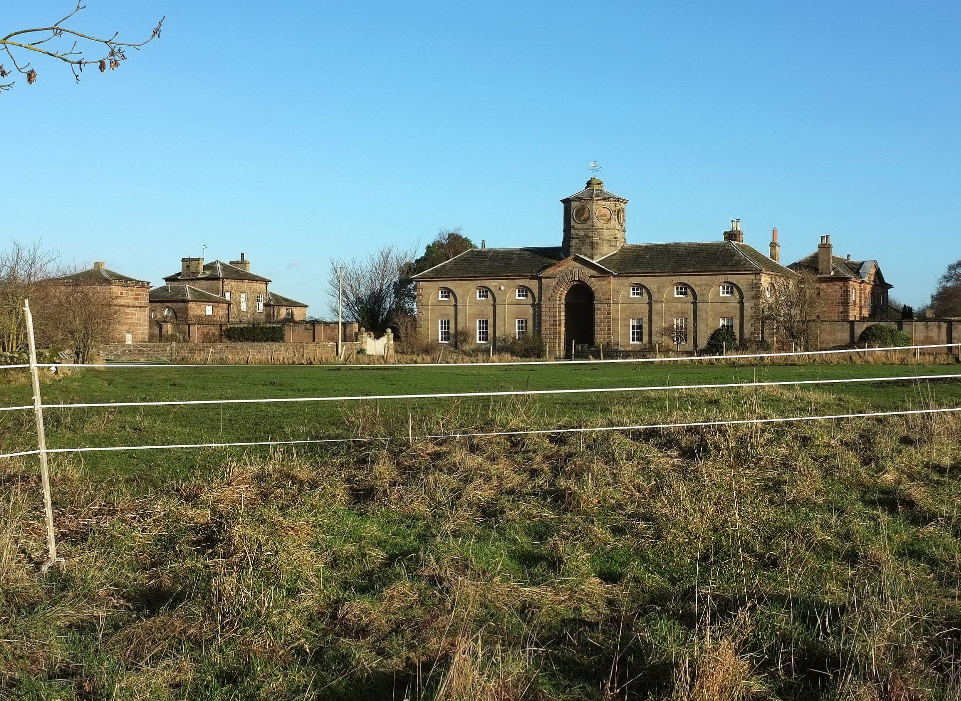
Braham Wood, located in the county of Yorkshire, is a picturesque forest that covers a vast area of land and offers a tranquil escape from the hustle and bustle of city life. This enchanting woodland is nestled within the larger Braham Park, which is known for its diverse and rich natural beauty.
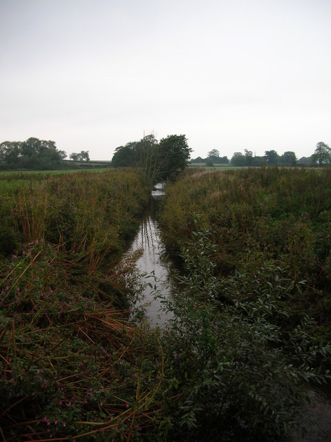
The wood is characterized by its dense canopy of ancient oak, beech, and birch trees that tower overhead, creating a sense of serenity and providing a home for a wide variety of flora and fauna. The forest floor is carpeted with a lush carpet of mosses, ferns, and wildflowers, offering a delightful sight for nature enthusiasts and hikers.
Braham Wood is renowned for its extensive network of well-maintained walking trails that crisscross through the forest, allowing visitors to immerse themselves in the tranquil ambiance while exploring the diverse habitats. The trails vary in difficulty, catering to both casual walkers and experienced hikers.
The forest is also home to an abundance of wildlife, including deer, foxes, badgers, and a plethora of bird species. Birdwatchers will delight in the opportunity to spot rare and migratory birds that frequent the area.
Throughout the year, Braham Wood boasts a vibrant display of seasonal colors. In spring, the forest comes alive with a profusion of bluebells and daffodils, creating a magical carpet of blooms. Autumn brings a breathtaking tapestry of red, orange, and gold as the leaves change color, providing a stunning backdrop for nature photographers and artists.
Braham Wood is a true haven for nature lovers, offering a peaceful retreat and a chance to reconnect with the beauty of the natural world.
If you have any feedback on the listing, please let us know in the comments section below.
Braham Wood Images
Images are sourced within 2km of 53.975173/-1.4364496 or Grid Reference SE3753. Thanks to Geograph Open Source API. All images are credited.


Braham Wood is located at Grid Ref: SE3753 (Lat: 53.975173, Lng: -1.4364496)
Division: West Riding
Administrative County: North Yorkshire
District: Harrogate
Police Authority: North Yorkshire
What 3 Words
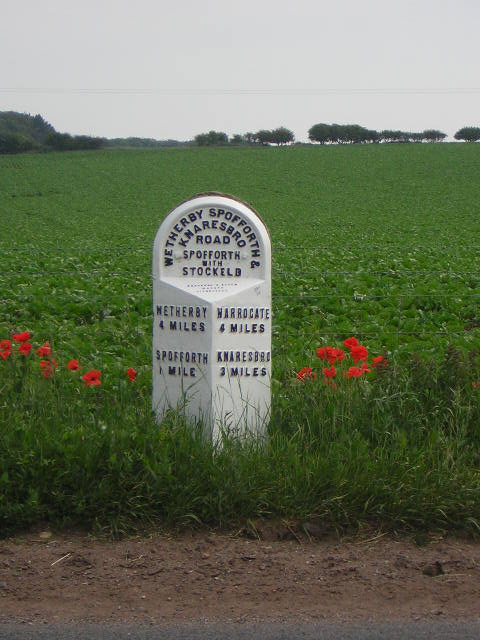
///rare.love.marmalade. Near Spofforth, North Yorkshire
Nearby Locations
Related Wikis

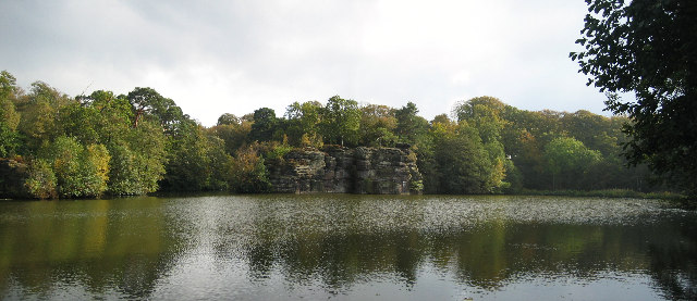
Plumpton Rocks
Plumpton Rocks is a man-made lake and surrounding pleasure gardens 3.5 miles (5.6 km) south-east of Harrogate in North Yorkshire, England, near the village...

Little Ribston
Little Ribston is a village and civil parish in the Harrogate district of North Yorkshire, England. Little Ribston is located on the River Nidd, 4 miles...
Ribston Hall
Ribston Hall is a privately owned 17th-century country mansion situated on the banks of the River Nidd, at Great Ribston, near Knaresborough, North Yorkshire...

Ribston Preceptory
Ribston Preceptory was a priory just east of the village of Little Ribston, in North Yorkshire, England on the east bank of the River Nidd. The preceptory...

All Saints' Church, Spofforth, North Yorkshire
All Saints Church is an Anglican church in the parish of Spofforth and Kirk Deighton in North Yorkshire, England. == History == The earliest parts of the...
Spofforth, North Yorkshire
Spofforth is a village in the civil parish of Spofforth with Stockeld in the Harrogate district of North Yorkshire, England, about 3 miles (4.8 km) north...
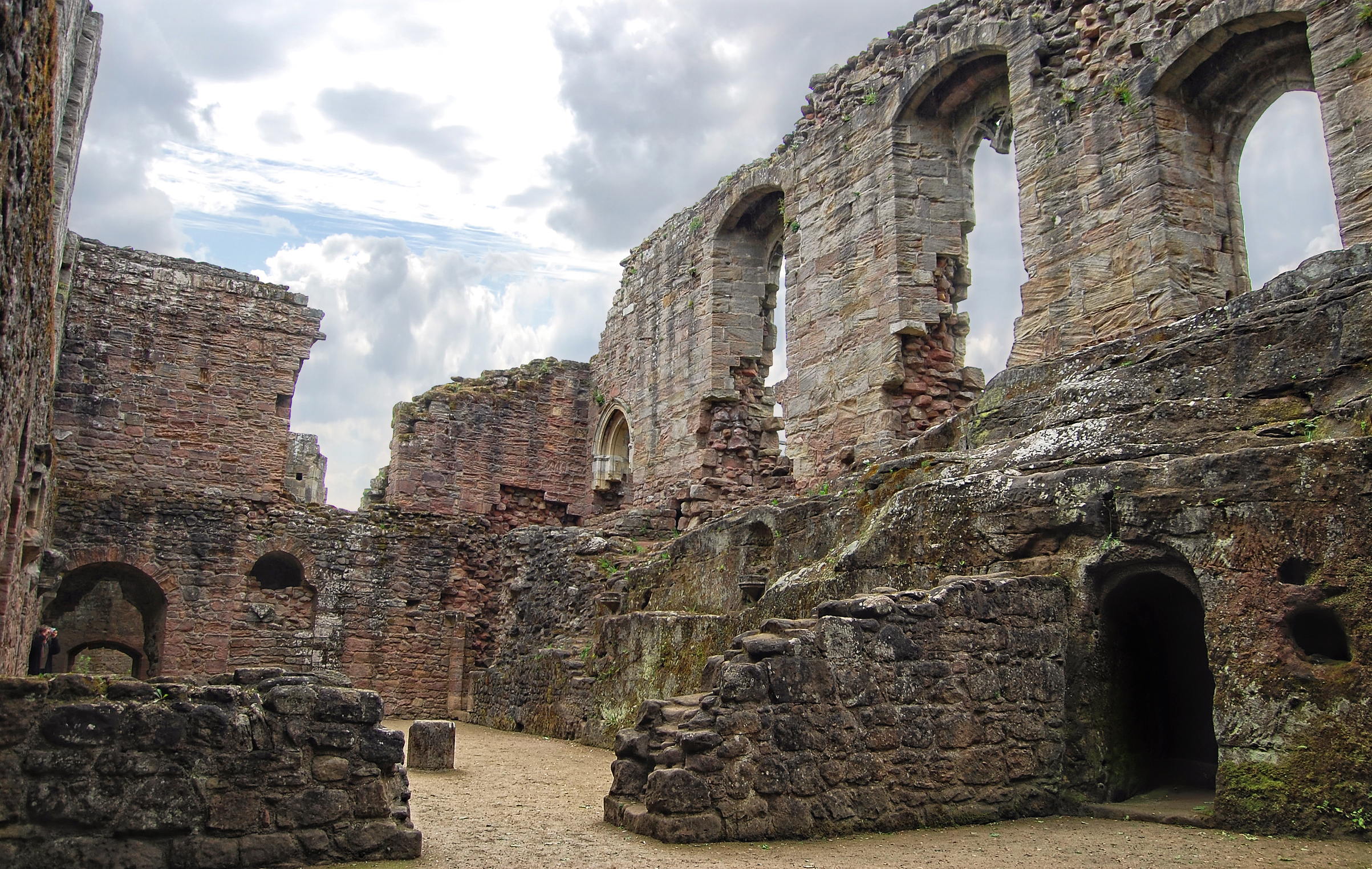
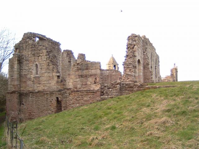
Spofforth Castle
Spofforth Castle in the village of Spofforth, North Yorkshire, England was a fortified manor house, ruined during the English Civil War and now run by...
Plompton
Plompton (formerly also spelt Plumpton) is a hamlet and civil parish south of Harrogate in North Yorkshire, England. It is close to the A661. Plompton...
Nearby Amenities
Located within 500m of 53.975173,-1.4364496Have you been to Braham Wood?
Leave your review of Braham Wood below (or comments, questions and feedback).