Doddshill
Settlement in Norfolk King's Lynn and West Norfolk
England
Doddshill
Doddshill is a small village located in the county of Norfolk, England. Situated in the eastern part of the country, it lies approximately 15 miles west of the city of Norwich. The village is nestled amidst the picturesque Norfolk countryside, characterized by rolling green fields and scenic landscapes.
With a population of around 300 residents, Doddshill exudes a peaceful and close-knit community atmosphere. The village is predominantly residential, comprised of charming cottages and houses, many of which are built with traditional Norfolk flint. The architectural style of the buildings reflects the area's rich history and heritage.
Doddshill benefits from its proximity to the thriving city of Norwich, which offers a wide range of amenities and services. Residents of the village can easily access larger supermarkets, shopping centers, and leisure facilities, while still enjoying the tranquility of rural life.
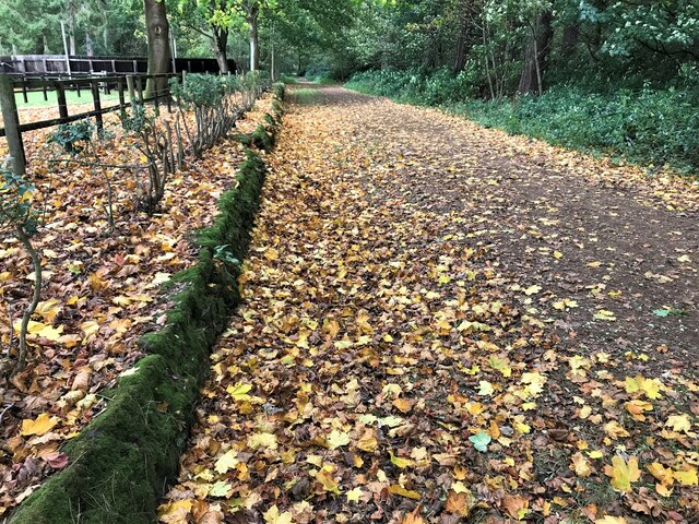
Surrounded by nature, the village boasts several walking trails and areas of natural beauty nearby. The Norfolk Broads, a renowned network of rivers, lakes, and marshes, is a short distance away, providing opportunities for boating, fishing, and wildlife spotting.
Doddshill is also well-connected in terms of transportation. The village has good road links, with the A47 trunk road passing nearby, connecting it to other major towns and cities in Norfolk and beyond. Public transportation options include regular bus services, allowing residents to travel easily to surrounding areas.
Overall, Doddshill offers a peaceful and idyllic retreat for those seeking a rural lifestyle, while still benefiting from convenient access to nearby amenities and attractions.
If you have any feedback on the listing, please let us know in the comments section below.
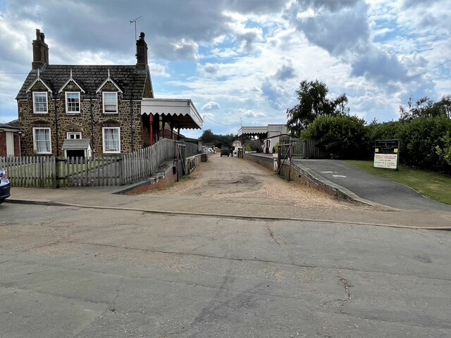
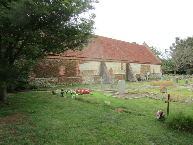
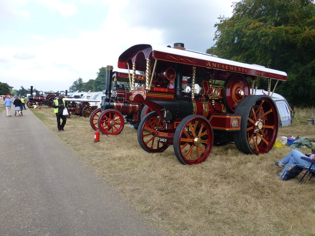
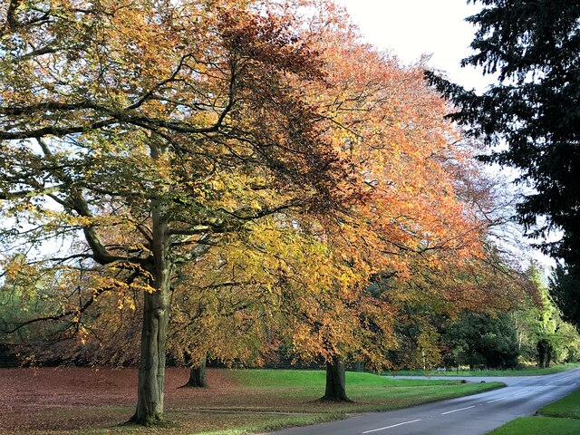
Doddshill Images
Images are sourced within 2km of 52.841499/0.516713 or Grid Reference TF6930. Thanks to Geograph Open Source API. All images are credited.


Doddshill is located at Grid Ref: TF6930 (Lat: 52.841499, Lng: 0.516713)
Administrative County: Norfolk
District: King's Lynn and West Norfolk
Police Authority: Norfolk
What 3 Words
///entrust.plums.repay. Near Dersingham, Norfolk
Nearby Locations
Related Wikis
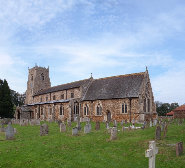
Dersingham
Dersingham is a village and civil parish in the English county of Norfolk. It is situated some 12 kilometres (7.5 mi) north of the town of King's Lynn...

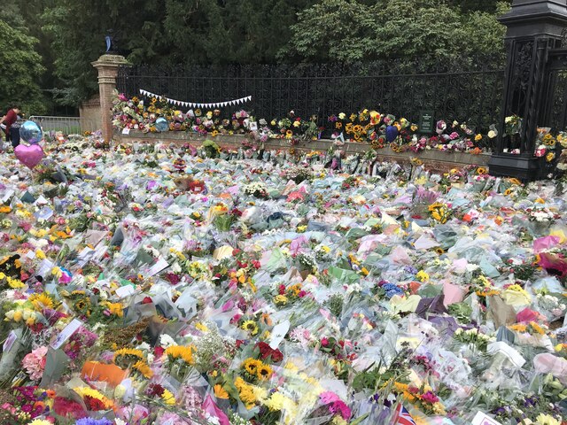
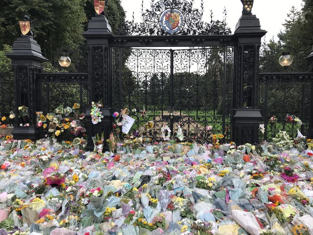
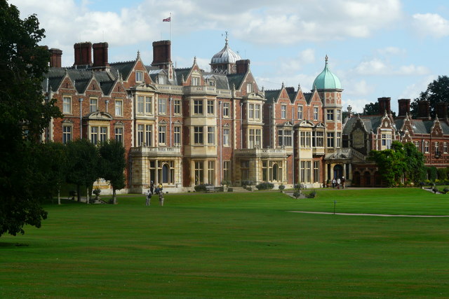
Sandringham House
Sandringham House is a country house in the parish of Sandringham, Norfolk, England. It is one of the royal residences of Charles III, whose grandfather...
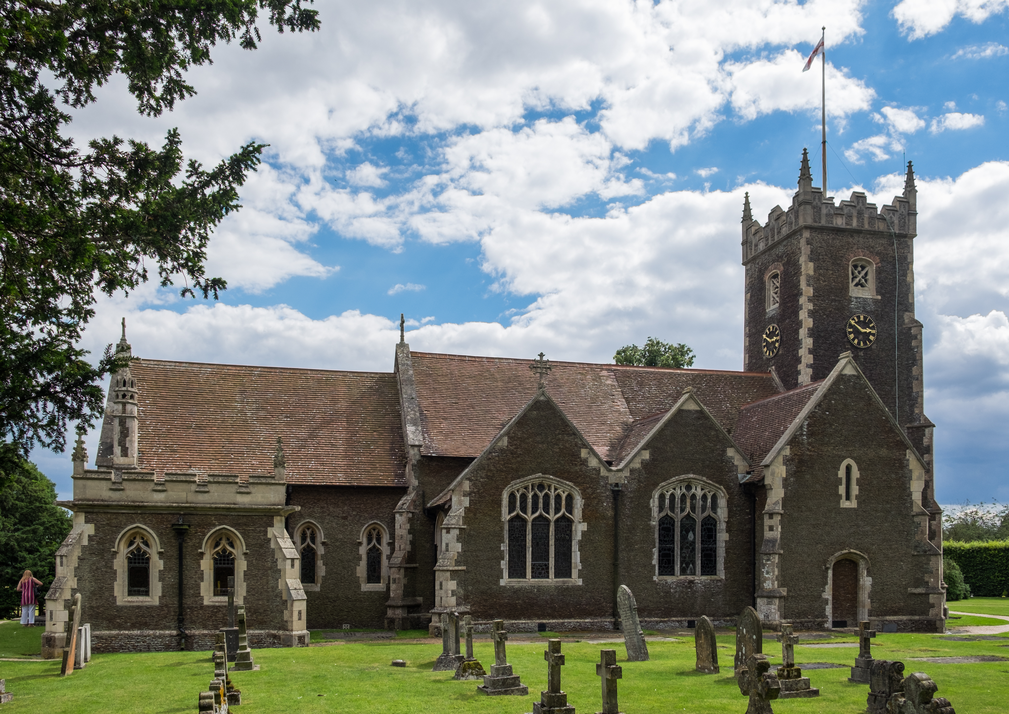
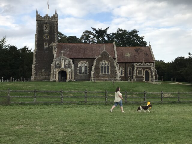
St Mary Magdalene Church, Sandringham
St Mary Magdalene Church is a church in Sandringham, Norfolk, England, located just to the southwest of Sandringham House. Members of the British Royal...
Sandringham, Norfolk
Sandringham is a village and civil parish in the north of the English county of Norfolk. The village is situated 2 kilometres (1.2 mi) south of Dersingham...

York Cottage
York Cottage is a house in the grounds of Sandringham House in Norfolk, England. == History == The cottage was originally called the Bachelor's Cottage...
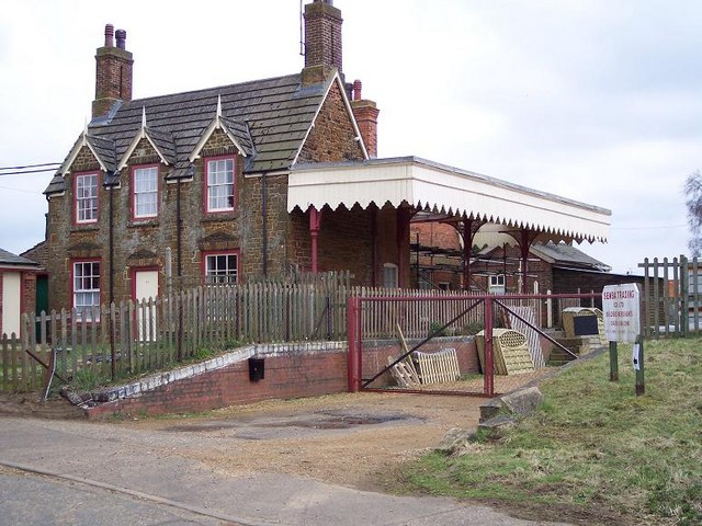
Dersingham railway station
Dersingham was a railway station on the King's Lynn to Hunstanton line which served the village of Dersingham, a few miles north of King's Lynn in North...
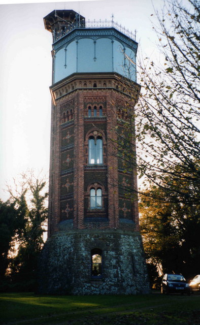
Appleton Water Tower
The Appleton Water Tower is a Victorian water tower located in Sandringham, Norfolk. It was constructed in 1877 to improve the quality of the water supply...

West Newton, Norfolk
West Newton is a village and former civil parish, now in the parish of Sandringham, in the King's Lynn and West Norfolk district, in the north of the county...
Nearby Amenities
Located within 500m of 52.841499,0.516713Have you been to Doddshill?
Leave your review of Doddshill below (or comments, questions and feedback).