Brickkiln Plantation

Wood, Forest in Derbyshire South Derbyshire

England

Brickkiln Plantation

Calke Abbey
Calke Abbey Credit: AJD

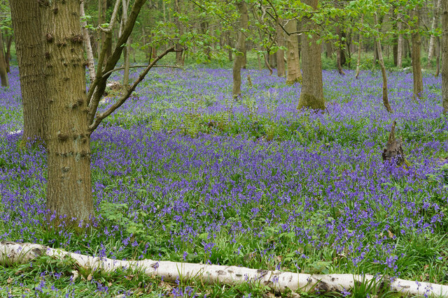
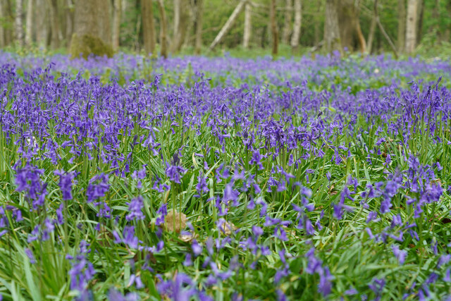
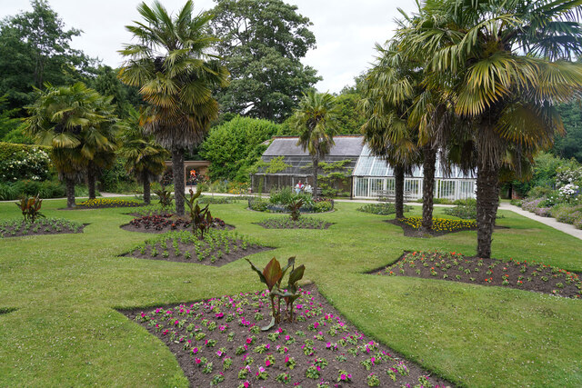
Brickkiln Plantation is a stunning woodland area located in Derbyshire, England. Encompassing an approximate area of 50 acres, this plantation is known for its lush greenery, diverse wildlife, and serene atmosphere. It is nestled within the beautiful countryside, offering visitors a tranquil escape from the hustle and bustle of urban life.

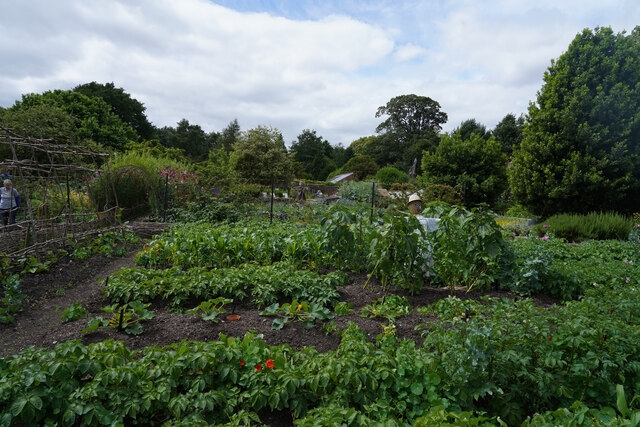
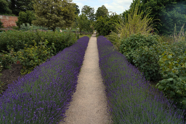
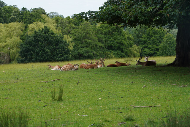
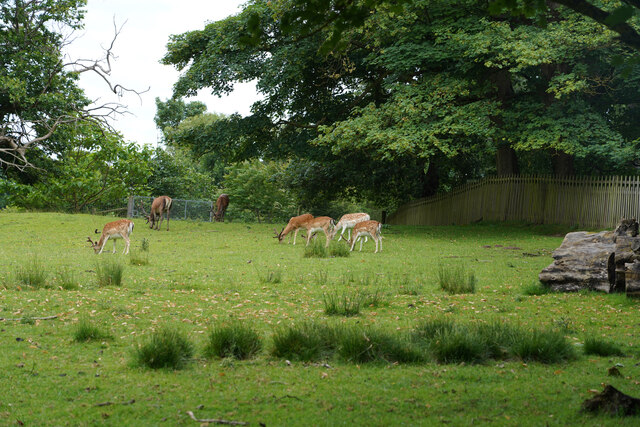
The plantation is predominantly made up of a variety of trees, including oak, birch, beech, and pine. These trees create a dense canopy that provides shade and shelter for the numerous species of birds, insects, and mammals that call this place home. Walking through the plantation, visitors can expect to encounter a wide range of flora and fauna, making it a haven for nature enthusiasts and photographers alike.

The woodland is crisscrossed with well-maintained walking trails, allowing visitors to explore the plantation at their own pace. Along these trails, one can find informative signboards that provide interesting facts about the different tree species, wildlife, and the history of the area.

Brickkiln Plantation is also a popular spot for outdoor activities such as hiking, bird watching, and picnicking. With its peaceful ambiance and picturesque surroundings, it is an ideal location for families, couples, and individuals seeking a quiet retreat in nature.

Overall, Brickkiln Plantation in Derbyshire offers a delightful experience for those seeking a connection with nature. Its abundant flora and fauna, well-maintained trails, and serene atmosphere make it a must-visit destination for anyone looking to immerse themselves in the beauty of the British countryside.

If you have any feedback on the listing, please let us know in the comments section below.

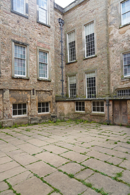
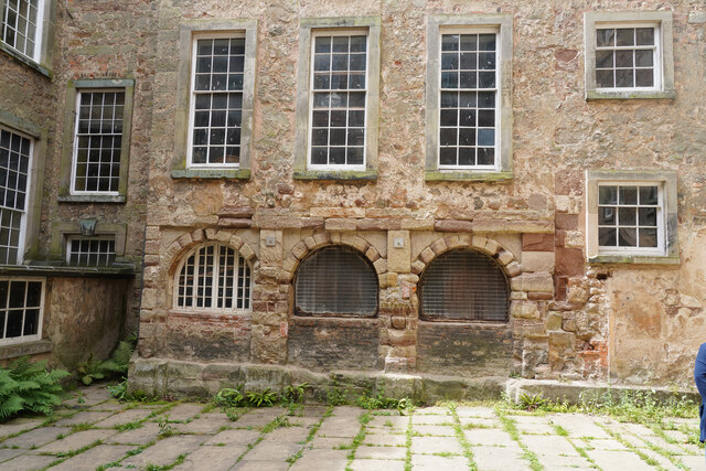
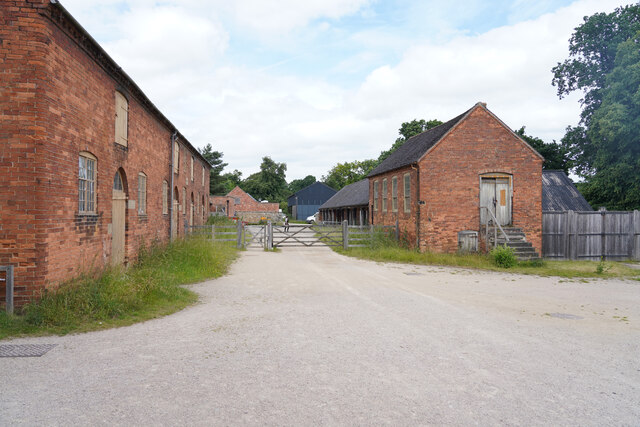
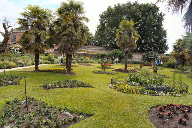
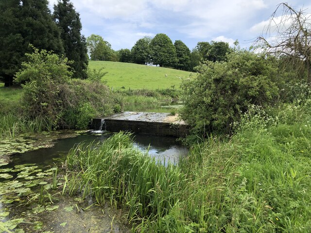
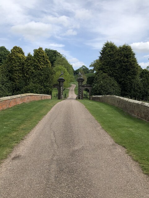
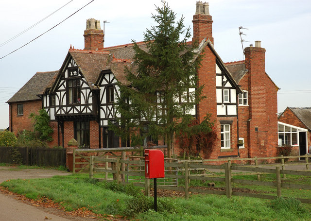
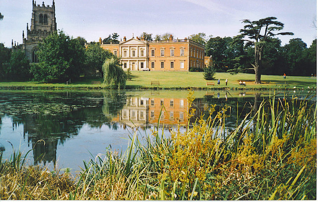
Brickkiln Plantation Images

Images are sourced within 2km of 52.79364/-1.4530927 or Grid Reference SK3621. Thanks to Geograph Open Source API. All images are credited.

Calke Abbey
Calke Abbey
Bluebells at Calke Park The Bluebells this year are very good. There are lots is several areas of Calke Park.
Bluebells at Calke Park
The Bluebells this year are very good. There are lots is several areas of Calke Park.
Bluebells at Calke Park A closeup of the flowers shown in <a href="https://www.geograph.org.uk/photo/7162441">SK3522 : Bluebells at Calke Park</a> at Calke Park. This is a National Trust property. When we arrived quite early there were about 12 cars in the main car park. After our walk the car park was full and the overflow car park was filling up.
Bluebells at Calke Park
A closeup of the flowers shown in SK3522 : Bluebells at Calke Park at Calke Park. This is a National Trust property. When we arrived quite early there were about 12 cars in the main car park. After our walk the car park was full and the overflow car park was filling up.
The view from the entrance Looking out from Calke Abbey towards the gardens which are up the hill and to the left.
The view from the entrance
Looking out from Calke Abbey towards the gardens which are up the hill and to the left.
The court yard at Calke Not originally entirely enclosed but according to the guide different sides were built in different centuries.
The court yard at Calke
Not originally entirely enclosed but according to the guide different sides were built in different centuries.
Seventeenth century arches This is the oldest part of the court yard at Calke Abbey.
Seventeenth century arches
This is the oldest part of the court yard at Calke Abbey.
Out buildings at Calke Abbey These are stables and other out buildings at Calke.
Out buildings at Calke Abbey
These are stables and other out buildings at Calke.
The garden at Calke This is the ornamental garden at Calke. To the left and over the wall is the vegetable garden which, to me, is far more impressive.
The garden at Calke
This is the ornamental garden at Calke. To the left and over the wall is the vegetable garden which, to me, is far more impressive.
The ornamental garden A view in the opposite direction from <a href="https://www.geograph.org.uk/photo/7211669">SK3722 : The garden at Calke</a>.
The ornamental garden
A view in the opposite direction from SK3722 : The garden at Calke.
The vegetable garden at Calke A very extensive and well tended garden, with a huge variety of different garden vegetables and fruit on show.
The vegetable garden at Calke
A very extensive and well tended garden, with a huge variety of different garden vegetables and fruit on show.
The lavender path With the lavender in full flower there were a lot of insects around including a Humming Bird Hawk Moth which is quite a rare insect.
The lavender path
With the lavender in full flower there were a lot of insects around including a Humming Bird Hawk Moth which is quite a rare insect.
Fallow Deer at Calke There were two small groups of Fallow Deer. This one with them all sitting down, the other group were all standing.
Fallow Deer at Calke
There were two small groups of Fallow Deer. This one with them all sitting down, the other group were all standing.
Fallow Deer at Calke There were two small groups of Fallow Deer. This one with them all standing grazing, the other group were all sitting in shade.
Fallow Deer at Calke
There were two small groups of Fallow Deer. This one with them all standing grazing, the other group were all sitting in shade.
The Ferrers Centre, Staunton Harold The former stable block of Staunton Harold Hall now hosts a variety of craft shops, studios, and a café.
The Ferrers Centre, Staunton Harold
The former stable block of Staunton Harold Hall now hosts a variety of craft shops, studios, and a café.
Staunton Harold Hall (Rear) Grade I listed country house, current form from a rebuild in 1763. The house was built by the Shirley family, the Earls Ferrers, and remained in the family until 1955. Subsequently a care home, the house returned to private ownership as a family home in 2003. The grounds are open to the public (except for a private family area) and contain a grade I listed C17th church.
Staunton Harold Hall (Rear)
Grade I listed country house, current form from a rebuild in 1763. The house was built by the Shirley family, the Earls Ferrers, and remained in the family until 1955. Subsequently a care home, the house returned to private ownership as a family home in 2003. The grounds are open to the public (except for a private family area) and contain a grade I listed C17th church.
Staunton Harold Lake
Weir separating lakes at Staunton Harold
Bridge and gated entrance to Staunton Harold
Show me another place!

Brickkiln Plantation is located at Grid Ref: SK3621 (Lat: 52.79364, Lng: -1.4530927)

Administrative County: Derbyshire

District: South Derbyshire

Police Authority: Derbyshire

What 3 Words

///haunt.dishing.water. Near Melbourne, Derbyshire

Related Wikis

Calke

Calke is a small village and civil parish in the South Derbyshire district of Derbyshire, England. It includes the historic house Calke Abbey, a National...
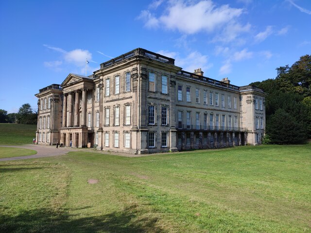
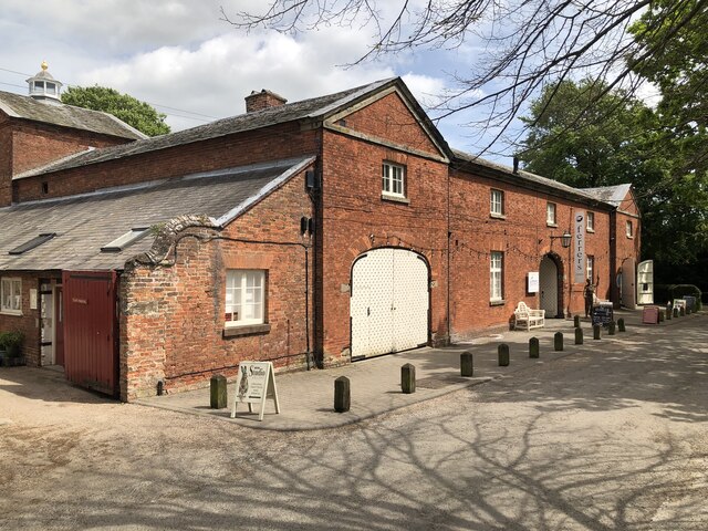
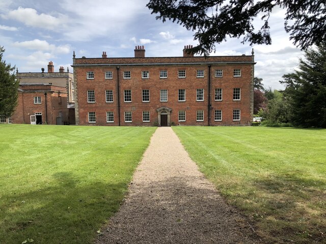
Calke Abbey

Calke Abbey is a Grade I listed country house near Ticknall, Derbyshire, England, in the care of the charitable National Trust. The site was an Augustinian...

Dimminsdale

Dimminsdale is a 37 hectare geological biological and Site of Special Scientific Interest partly in Derbyshire and partly in Leicestershire. It is located...
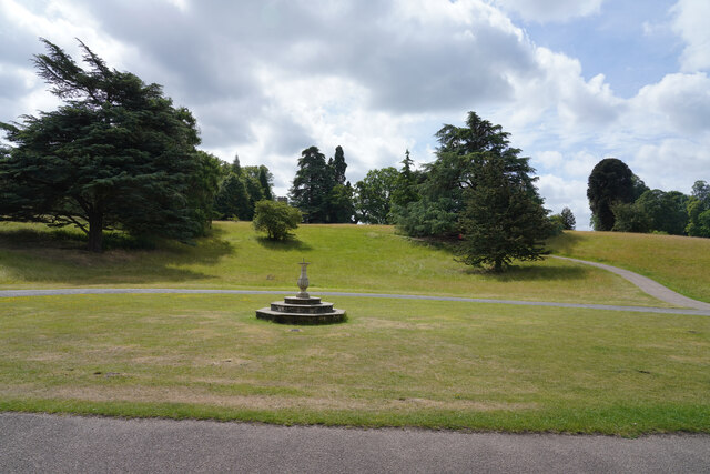
Staunton Harold

Staunton Harold is a civil parish in North West Leicestershire about 3 miles (5 km) north of Ashby-de-la-Zouch. The parish is on the county boundary with...

Staunton Harold Hall

Staunton Harold Hall is a large 18th-century Grade I listed country house built by the Earls Ferrers, situated within the 2,000-acre (810 ha) Staunton...

Staunton Harold Reservoir

Staunton Harold Reservoir is a large reservoir under the management of Severn Trent Water, located between Melbourne and Ticknall in Derbyshire, England...

Ticknall Tramway

The Ticknall Tramway was a 12.8 mi (20.6 km) long 4 ft 2 in (1,270 mm) gauge horse-drawn plateway terminating at Ticknall, Derbyshire, England. It operated...

Ticknall

Ticknall is a small village and civil parish in South Derbyshire, England. The population of the civil parish (including Calke) at the 2011 Census was...

Nearby Amenities

Located within 500m of 52.79364,-1.4530927
Calke
Is In Country: UK
Is In County: Derbyshire
Place: hamlet
Source: OS OpenData StreetView
Wikidata: Q3292551
Lat/Long: 52.7952562/-1.4479312
Post Box
Collection Times: Mo-Fr 16:00; Sa 08:00
Operator: Royal Mail
Post Box Type: lamp
Ref: LE65 204
Royal Cypher: EIIR
Royal Cypher Wikidata: Q33102113
Source: survey
Lat/Long: 52.7943841/-1.4486635
Barrier: cattle_grid
Lat/Long: 52.7971805/-1.4524828
Old Deer Shelter
Historic: ruins
Source: Bing;survey
Lat/Long: 52.7967633/-1.4569558
Dumelow's Dairy
Addr City: Ashby-de-la-Zouch
Addr Postcode: LE65 1RR
Addr Street: Main Street
Addr Village: Calke
Fhrs Id: 1055459
Phone: +44 1332 862666
Shop: dairy
Website: https://en-gb.facebook.com/Dumelowdairy/
Lat/Long: 52.7945706/-1.4486031
Barrier: stile
Stile: squeezer
Lat/Long: 52.7901713/-1.4518895
Barrier: stile
Material: wood
Stile: squeezer
Lat/Long: 52.7901189/-1.4517923
Information: board
Tourism: information
Lat/Long: 52.7911491/-1.4472064
Barrier: stile
Material: wood
Stile: squeezer
Lat/Long: 52.7911449/-1.4471777
The data included in this document is from www.openstreetmap.org. The data is made available under ODbL.

Have you been to Brickkiln Plantation?

Leave your review of Brickkiln Plantation below (or comments, questions and feedback).