Birch Wood

Wood, Forest in Derbyshire Amber Valley

England

Birch Wood

St Clements Church, Horsley St Clement's Church, Horsley, Derbyshire. SK375445
St Clements Church, Horsley Credit: Rob Bradford

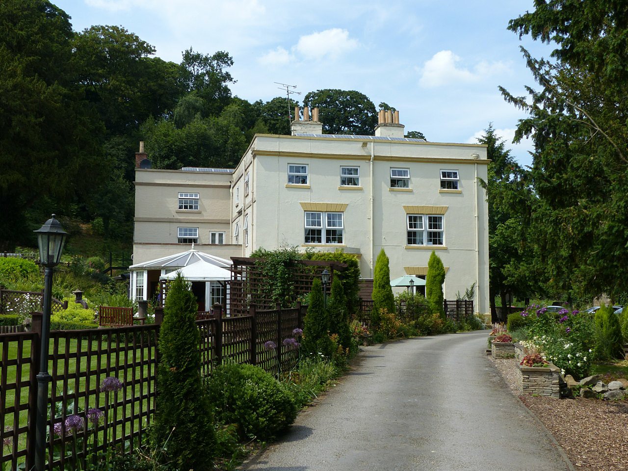
Birch Wood is a picturesque forest located in Derbyshire, England. This woodland area covers an approximate area of 100 hectares and is known for its dense population of birch trees, which give the wood its name. The forest is situated in the southern part of the county, near the village of Birchwood, and is easily accessible by both car and public transportation.

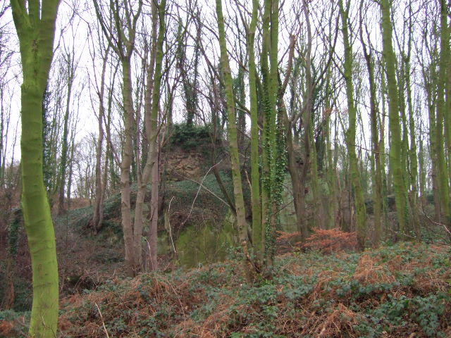
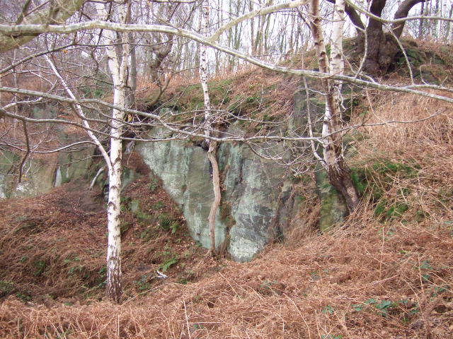
The woodland is a haven for nature enthusiasts and provides a serene escape from the hustle and bustle of city life. The landscape within Birch Wood is diverse, featuring rolling hills, open meadows, and tranquil streams. The forest floor is covered in a thick carpet of moss and wildflowers, adding to its natural beauty.

Birch Wood is home to a wide variety of wildlife, including deer, foxes, squirrels, and a plethora of bird species. It is a popular destination for birdwatchers, who can spot rare and migratory birds nesting in the area. The forest is also rich in flora, with a range of wildflowers, ferns, and mushrooms that add color and texture to the surroundings.

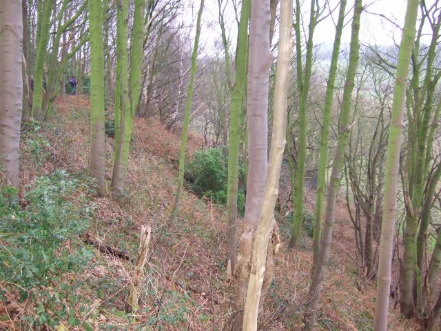
Visitors to Birch Wood can enjoy a range of recreational activities, such as hiking, cycling, and picnicking. There are well-marked trails that wind through the forest, offering stunning views of the surrounding countryside. The wood is also a popular spot for photography enthusiasts, who come to capture the natural beauty of the area.

Overall, Birch Wood is a tranquil and scenic forest that offers a peaceful retreat for those seeking a connection with nature. Its diverse landscape, abundant wildlife, and recreational opportunities make it a must-visit destination in Derbyshire.

If you have any feedback on the listing, please let us know in the comments section below.
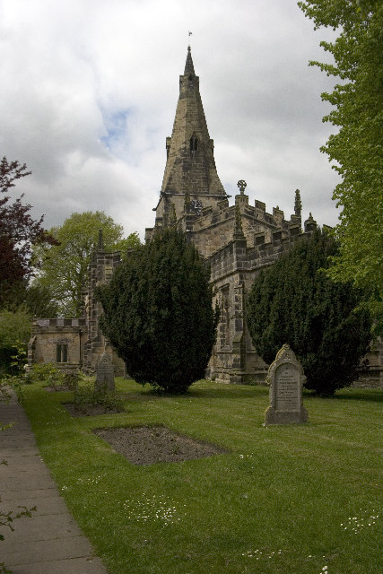
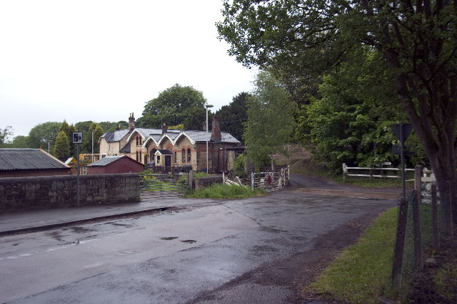
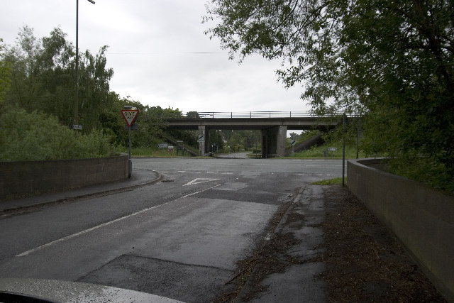
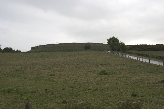
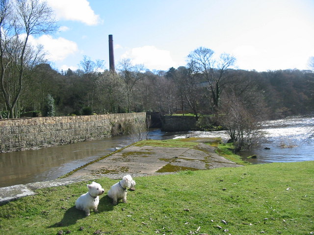
Birch Wood Images

Images are sourced within 2km of 52.986494/-1.4519721 or Grid Reference SK3643. Thanks to Geograph Open Source API. All images are credited.

St Clements Church, Horsley St Clement's Church, Horsley, Derbyshire. SK375445
St Clements Church, Horsley
St Clement's Church, Horsley, Derbyshire. SK375445
Coxbench Station and level crossing Coxbench Station (now residential property) and level crossing on road junction requiring 3 roads to be closed at the same time. Line now disused.
Coxbench Station and level crossing
Coxbench Station (now residential property) and level crossing on road junction requiring 3 roads to be closed at the same time. Line now disused.
B6179 junction with road to Holbrook, A38 flyover Road Junction of B6179 (running left to right) with road from Coxbench (other side of A38 flyover) to Holbrook Station (now residential property, and out of shot behind photographer).
B6179 junction with road to Holbrook, A38 flyover
Road Junction of B6179 (running left to right) with road from Coxbench (other side of A38 flyover) to Holbrook Station (now residential property, and out of shot behind photographer).
Drum Hill Reservoir Drum Hill Reservoir (SK373420) taken from Morley Lane.
Drum Hill Reservoir
Drum Hill Reservoir (SK373420) taken from Morley Lane.
Coach and Horses, Horsley Also road junction of Horsley Road (Front to right of picture) and Smalley Mill Road (dropping away to the left). Horsley, Derbyshire.
Coach and Horses, Horsley
Also road junction of Horsley Road (Front to right of picture) and Smalley Mill Road (dropping away to the left). Horsley, Derbyshire.
Church Hall, Little Eaton Standing close to St Paul's Church and overlooking  St Peter's Park is the Church Hall. It is also known as the Parish Rooms and the building of 1841 was Little Eaton's first school.
Church Hall, Little Eaton
Standing close to St Paul's Church and overlooking St Peter's Park is the Church Hall. It is also known as the Parish Rooms and the building of 1841 was Little Eaton's first school.
Sliproad Lower Kilburn Sliproad to the A38.
Sliproad
Lower Kilburn Sliproad to the A38.
Peckwash Paper Mill on the Derwent This weir on the Derwent between Duffield and Little Eaton would once have been used to power Peckwash paper mill.  Peckwash mill is recorded as being one of the largest paper mills in the world in the 19th century.
Peckwash Paper Mill on the Derwent
This weir on the Derwent between Duffield and Little Eaton would once have been used to power Peckwash paper mill. Peckwash mill is recorded as being one of the largest paper mills in the world in the 19th century.
Duffieldbank House from Duffieldbank The land rises steeply on the east of the Derwent near Duffield.  Duffieldbank House overlooks the river and enjoys views over the village of Duffield.
Duffieldbank House from Duffieldbank
The land rises steeply on the east of the Derwent near Duffield. Duffieldbank House overlooks the river and enjoys views over the village of Duffield.
Trackway in Eatonpark Wood The Midshires Way and Centenary Way both follow the route of this ancient trackway through Eatonpark wood just north of Little Eaton.  On April 1st the month lived up to its showery reputation - a ferocious hail storm a few minutes earlier helping to turn the track in a muddy morass.
Trackway in Eatonpark Wood
The Midshires Way and Centenary Way both follow the route of this ancient trackway through Eatonpark wood just north of Little Eaton. On April 1st the month lived up to its showery reputation - a ferocious hail storm a few minutes earlier helping to turn the track in a muddy morass.
Park Farm on Eaton Hill Park Farm enjoys a spectacular location on top of Eaton Hill.  From its lofty position extensive views along the Derwent valley can be enjoyed.
Park Farm on Eaton Hill
Park Farm enjoys a spectacular location on top of Eaton Hill. From its lofty position extensive views along the Derwent valley can be enjoyed.
Stone terrace houses, Makeney Terrace houses, overlooking the Derwent River valley, catching the late afternoon sun. The Derwent Valley Heritage Way follows the road through Makeney.
Stone terrace houses, Makeney
Terrace houses, overlooking the Derwent River valley, catching the late afternoon sun. The Derwent Valley Heritage Way follows the road through Makeney.
Overgrown Remains of Horsley Castle Very little remains of the ruins of Horsley Castle, it is also extremely overgrown, taken on the Boxing Day walk led by the Shipley Park Ranger Service.
Fact or fiction; three items of discussion about the castle were, the stonework had been taken to construct Kedleston Hall, there is an underground tunnel back to Horsley and finally Dick Turpin was born here!
Overgrown Remains of Horsley Castle
Very little remains of the ruins of Horsley Castle, it is also extremely overgrown, taken on the Boxing Day walk led by the Shipley Park Ranger Service. Fact or fiction; three items of discussion about the castle were, the stonework had been taken to construct Kedleston Hall, there is an underground tunnel back to Horsley and finally Dick Turpin was born here!
Horsley Castle Rampart. The steep embankment on the south side of Horsley Castle,the ranger leading the walk can just be seen.
Horsley Castle Rampart.
The steep embankment on the south side of Horsley Castle,the ranger leading the walk can just be seen.
Small quarry at Horsley Castle. The quarry was used for stone to build the castle and the remaining hole then formed part of the moat.
Small quarry at Horsley Castle.
The quarry was used for stone to build the castle and the remaining hole then formed part of the moat.
Stile and steps . The footpath leading up to the church from Lower Kilburn.
Stile and steps .
The footpath leading up to the church from Lower Kilburn.
Steps to Heaven. Steps to the back of the church.
Steps to Heaven.
Steps to the back of the church.
Disused  gate The old gate no longer used from the vicarage to the church. Church cottage forms the backdrop to the churchyard.
Disused gate
The old gate no longer used from the vicarage to the church. Church cottage forms the backdrop to the churchyard.
Show me another place!

Birch Wood is located at Grid Ref: SK3643 (Lat: 52.986494, Lng: -1.4519721)

Administrative County: Derbyshire

District: Amber Valley

Police Authority: Derbyshire

What 3 Words

///ship.rooms.enable. Near Little Eaton, Derbyshire

Nearby Locations

Birch Wood Coxbench Wood

Related Wikis

Nearby Amenities

Located within 500m of 52.986494,-1.4519721
Parking
Type: layby
Wheelchair: yes
Lat/Long: 52.9847476/-1.4464503
Parking
Type: layby
Lat/Long: 52.9859088/-1.4469982
Traffic Signals
Traffic Signals: signal
Lat/Long: 52.9877751/-1.4480755
Historic Railway: level_crossing
Lat/Long: 52.9876152/-1.4488596
Post Box
Collection Times: Mo-Fr 17:30; Sa 11:30
Operator: Royal Mail
Operator Wikidata: Q638098
Post Box Type: lamp
Ref: DE21 111
Royal Cypher: EIIR
Royal Cypher Wikidata: Q33102113
Lat/Long: 52.9869454/-1.4490822
Entrance: main
Lat/Long: 52.9864854/-1.4493713
Note: 30 mph speed limit sign SW-bound
Source: survey
Traffic Sign Forward: GB:670[30]
Lat/Long: 52.9821769/-1.4512961
Note: Wild animals for 2 miles hazard sign
Traffic Sign: GB:551
Traffic Sign Direction: forward
Lat/Long: 52.9851897/-1.4465832
Telephone
Booth: KX100
Ele: 43.0000000
Lat/Long: 52.9879575/-1.4478622
Bus Stop
Fox and Hounds
Bus: yes
Naptan AtcoCode: 1000DCAR4103
Naptan NaptanCode: dbsajdgj
Public Transport: platform
Shelter: yes
Lat/Long: 52.986773/-1.449147
Description: Flint Knappers Bays
Ele: 42.0000000
Information: board
Tourism: information
Lat/Long: 52.9839395/-1.4496203
Bus Stop
Flyover
Bus: yes
Public Transport: platform
Shelter: no
Lat/Long: 52.9882033/-1.4470068
Horsley Parish Notices
Ele: 42.0000000
Information: board
Tourism: information
Lat/Long: 52.9881938/-1.4473354
Source: Bing
Lat/Long: 52.9860515/-1.4584906
Man Made: tower
Source: Bing
Lat/Long: 52.9826032/-1.4517912
Cycleway: asl
Direction: forward
Lat/Long: 52.9875833/-1.4479496
Coxbench
Abandoned Railway: station
Railway: site
Wikidata: Q5179925
Wikipedia: en:Coxbench railway station
Lat/Long: 52.9871659/-1.4488505
Coxbench
Place: village
Wikidata: Q104706580
Lat/Long: 52.988898/-1.4469761
Historic: memorial
Inscription: St. Anthony's Wall, Coxbench, was erected in 1611 in a cottage garden and moved here to its present site in 1979. It was regularly used by monks and the waters were said to have healing qualities.
Memorial: plaque
Source: survey
Lat/Long: 52.9882125/-1.4473216
Information: route_marker
Tourism: information
Lat/Long: 52.9821439/-1.4513309
Bench
Source: survey
Lat/Long: 52.9880224/-1.4472288
Bus Stop
Flyover
Bus: yes
Public Transport: platform
Lat/Long: 52.98815/-1.4473388
Bus Stop
Fox and Hounds
Bus: yes
Naptan AtcoCode: 1000DCAR1608
Naptan NaptanCode: dbsgjtpt
Public Transport: platform
Lat/Long: 52.9863048/-1.4493491
Bus Stop
Armoury Cottage
Bus: yes
Naptan AtcoCode: 1000DCAR4093
Naptan NaptanCode: dbsajdgd
Public Transport: platform
Lat/Long: 52.9840672/-1.4496294
Bus Stop
Armoury Cottage
Bus: yes
Naptan AtcoCode: 1000DCAR4092
Naptan NaptanCode: dbsgjtpw
Public Transport: platform
Lat/Long: 52.9840708/-1.4497507
Cycleway: asl
Direction: backward
Lat/Long: 52.9880022/-1.448272
The data included in this document is from www.openstreetmap.org. The data is made available under ODbL.

Have you been to Birch Wood?

Leave your review of Birch Wood below (or comments, questions and feedback).