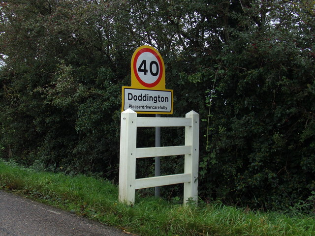
Doddington

Settlement in Cambridgeshire Fenland

England

Doddington

Dykemoor Drove junction with Primrose Hill Dykemoor Drove junction with Primrose Hill
Dykemoor Drove junction with Primrose Hill Credit: Shaun Ferguson

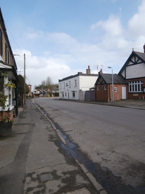
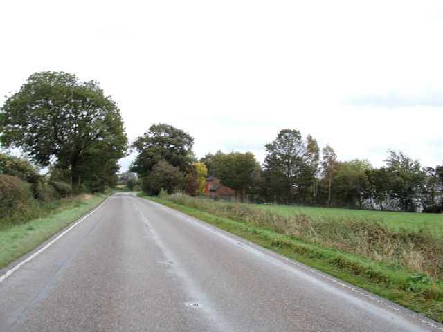
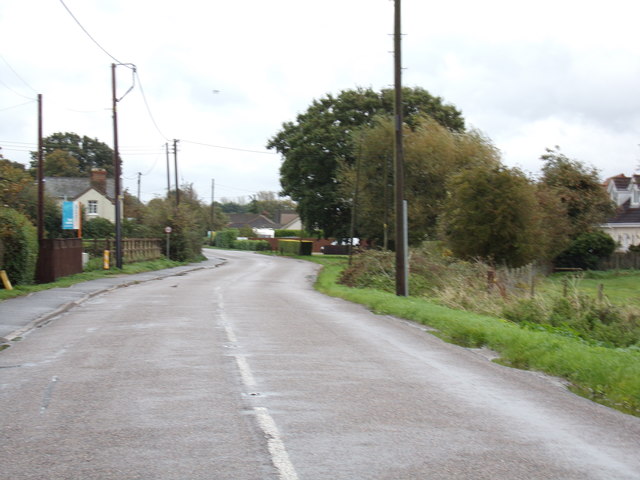
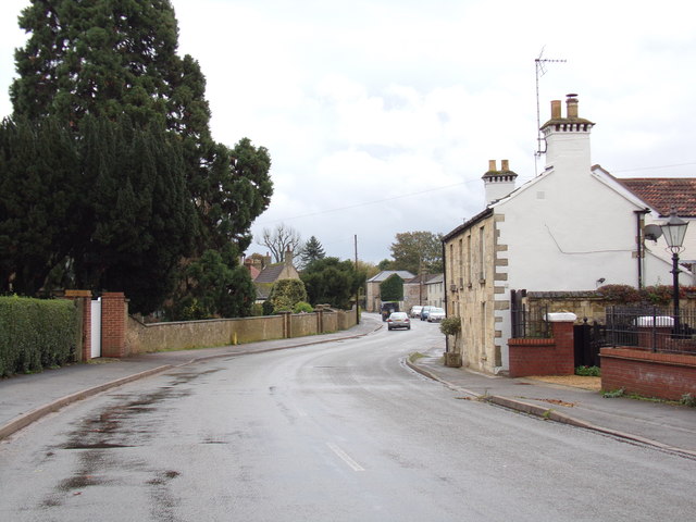
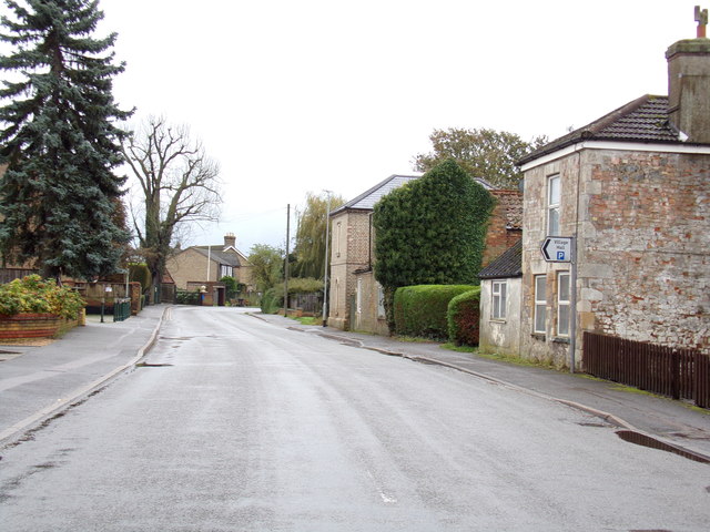
Doddington is a small village located in the county of Cambridgeshire, England. Situated approximately 9 miles east of the city of Cambridge, the village is characterized by its rural charm and picturesque landscapes. With a population of around 1,000 residents, Doddington is a close-knit community that exudes a friendly and welcoming atmosphere.

The village is well-known for its historic features, including St. Mary's Church, a beautiful Grade I listed building dating back to the 13th century. The church's impressive architecture and stained glass windows attract visitors from far and wide.

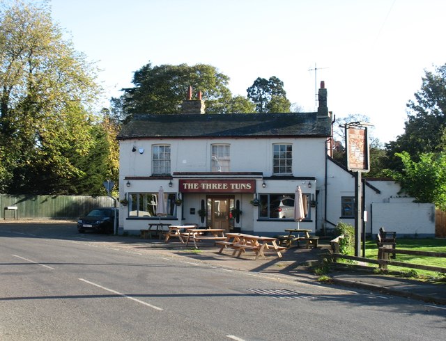
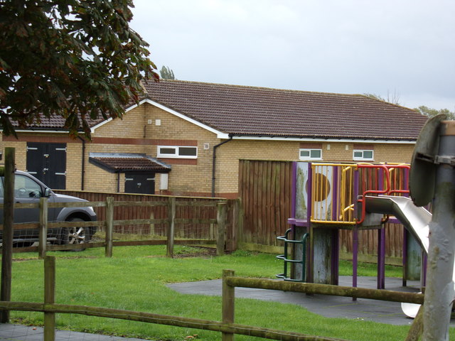
In terms of amenities, Doddington offers a range of facilities to cater to the needs of its residents. These include a primary school, a village hall, a local pub, and a convenience store. The village hall hosts various community events and gatherings throughout the year, fostering a sense of community spirit.

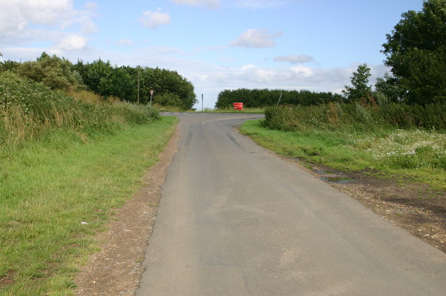
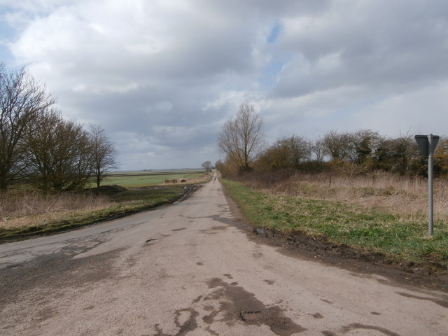
Surrounded by rolling countryside, Doddington offers ample opportunities for outdoor activities and exploration. The village is home to several footpaths and bridleways, making it an ideal location for walkers, cyclists, and horse riders. Additionally, the nearby River Cam provides opportunities for boating and fishing.

Overall, Doddington is a charming and picturesque village that offers a tranquil and idyllic lifestyle. Its rich history, tight-knit community, and beautiful surroundings make it a desirable place to live for those seeking a peaceful retreat within easy reach of Cambridge.

If you have any feedback on the listing, please let us know in the comments section below.

Doddington Images

Images are sourced within 2km of 52.496694/0.060324049 or Grid Reference TL3990. Thanks to Geograph Open Source API. All images are credited.

Dykemoor Drove junction with Primrose Hill Dykemoor Drove junction with Primrose Hill
Dykemoor Drove junction with Primrose Hill
Wheelhead Farm, Turf Fen Lane
A141 southbound
A141 southbound
A141 southbound lay-by
The Three Tuns, Doddington
New Street, Doddington Looking towards the clock tower and the sturdily built shelter behind it.  Doddington has two pubs close to one another; the George <span class="nowrap"><a title="https://www.elgoods-brewery.co.uk/stores/the-george-inn/" rel="nofollow ugc noopener" href="https://www.elgoods-brewery.co.uk/stores/the-george-inn/">Link</a><img style="margin-left:2px;" alt="External link" title="External link - shift click to open in new window" src="https://s1.geograph.org.uk/img/external.png" width="10" height="10"/></span> can be seen on the right and the Three Tuns is behind the photographer.
New Street, Doddington
Looking towards the clock tower and the sturdily built shelter behind it. Doddington has two pubs close to one another; the George LinkExternal link can be seen on the right and the Three Tuns is behind the photographer.
J Everitt and Sons The firm of J Everitt and Sons holds a Royal Warrant from Queen Elizabeth II as 'Supplier of Hay, Straw, Horse Feeds & Bedding'. <span class="nowrap"><a title="https://www.royalwarrant.org/company/j-everitt-sons" rel="nofollow ugc noopener" href="https://www.royalwarrant.org/company/j-everitt-sons">Link</a><img style="margin-left:2px;" alt="External link" title="External link - shift click to open in new window" src="https://s1.geograph.org.uk/img/external.png" width="10" height="10"/></span> The Royal Arms are proudly displayed on the fence.  A wrought iron sign lists some of the products they deal in such as 'Picasso pots'.
J Everitt and Sons
The firm of J Everitt and Sons holds a Royal Warrant from Queen Elizabeth II as 'Supplier of Hay, Straw, Horse Feeds & Bedding'. LinkExternal link The Royal Arms are proudly displayed on the fence. A wrought iron sign lists some of the products they deal in such as 'Picasso pots'.
Dykemoor Drove We're in Fenland, and this means some largely featureless squares.  No wonder all the handful of pictures of this square so far are of Dykemoor Drove, whose junction with Primrose Hill (where this photograph was taken) is almost the only point of interest in it.
Dykemoor Drove
We're in Fenland, and this means some largely featureless squares. No wonder all the handful of pictures of this square so far are of Dykemoor Drove, whose junction with Primrose Hill (where this photograph was taken) is almost the only point of interest in it.
A storm over The Fens near Chatteris It had been a day of sunshine and heavy showers. This shower to the north of Chatteris almost blocked out the setting sun.
A storm over The Fens near Chatteris
It had been a day of sunshine and heavy showers. This shower to the north of Chatteris almost blocked out the setting sun.
Heavy rain over a field of leeks near Chatteris It had been a day of sunshine and heavy showers. This shower to the north of Chatteris almost blocked out the setting sun.
Heavy rain over a field of leeks near Chatteris
It had been a day of sunshine and heavy showers. This shower to the north of Chatteris almost blocked out the setting sun.
Layby on Isle of Ely Way north of Chatteris
Entering Doddington on the B1093 Benwick Road <span class="nowrap"><a title="https://en.wikipedia.org/wiki/Doddington,_Cambridgeshire" rel="nofollow ugc noopener" href="https://en.wikipedia.org/wiki/Doddington,_Cambridgeshire">Link</a><img style="margin-left:2px;" alt="External link" title="External link - shift click to open in new window" src="https://s1.geograph.org.uk/img/external.png" width="10" height="10"/></span>
Entering Doddington on the B1093 Benwick Road
Doddington Village Name sign On the B1093 Benwick Road
Doddington Village Name sign
On the B1093 Benwick Road
B1093 Benwick Road, Doddington <span class="nowrap"><a title="https://en.wikipedia.org/wiki/Doddington,_Cambridgeshire" rel="nofollow ugc noopener" href="https://en.wikipedia.org/wiki/Doddington,_Cambridgeshire">Link</a><img style="margin-left:2px;" alt="External link" title="External link - shift click to open in new window" src="https://s1.geograph.org.uk/img/external.png" width="10" height="10"/></span>
B1093 Benwick Road, Doddington
Pavilion at Doddington Recreation Ground Off the B1093 Benwick Road
Pavilion at Doddington Recreation Ground
Off the B1093 Benwick Road
B1093 Benwick Road, Doddington <span class="nowrap"><a title="https://en.wikipedia.org/wiki/Doddington,_Cambridgeshire" rel="nofollow ugc noopener" href="https://en.wikipedia.org/wiki/Doddington,_Cambridgeshire">Link</a><img style="margin-left:2px;" alt="External link" title="External link - shift click to open in new window" src="https://s1.geograph.org.uk/img/external.png" width="10" height="10"/></span>
B1093 Benwick Road, Doddington
B1093 Benwick Road, Doddington Near Doddington Village Hall
B1093 Benwick Road, Doddington
Near Doddington Village Hall
Show me another place!

Doddington is located at Grid Ref: TL3990 (Lat: 52.496694, Lng: 0.060324049)

Division: Isle of Ely

Administrative County: Cambridgeshire

District: Fenland

Police Authority: Cambridgeshire

What 3 Words

///promising.trousers.peroxide. Near Doddington, Cambridgeshire

Nearby Locations

Doddington

Related Wikis

Doddington, Cambridgeshire

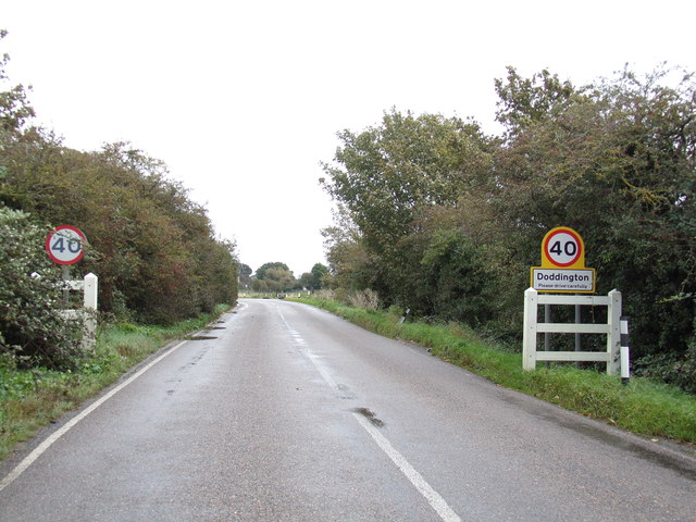
Doddington is a village and civil parish lying just off the A141 in the Isle of Ely, Cambridgeshire, approximately half way (4 miles (6 km)) between Chatteris...

Wimblington

Wimblington is a village in the Isle of Ely, Cambridgeshire, England, with a population of 1700 as of the 2001 census, including Stonea and increasing...

Wimblington railway station

Wimblington railway station was a station in the village of Wimblington, Cambridgeshire. It was closed in 1967 as part of the Beeching Axe.The station...

Swingbrow

Swingbrow (sometimes written Swing Brow) is a hamlet near to Chatteris , Cambridgeshire lying alongside the Forty Foot Drain built by Vermuyden. A Neolithic...

Stonea

Stonea is a hamlet in Cambridgeshire, England, south east of March and part of the parish of Wimblington. Stonea today consists of a scattered collection...

Gault Wood

Gault Wood is a woodland in Cambridgeshire, England, near the town of March. It covers a total area of 6.51 hectares (16.09 acres). It is owned and managed...

Forty Foot Drain

The Forty Foot or Forty Foot Drain is a name given to several of the principal channels in the drainage schemes of the Fens of Eastern England, the name...

Chatteris

Chatteris () is a market town and civil parish in the Fenland district of Cambridgeshire, England, situated in The Fens between Huntingdon, March and Ely...

Nearby Amenities

Located within 500m of 52.496694,0.060324049
Pub
The George
Operator: Elgood's
Lat/Long: 52.4964694/0.0603204
Pub
The Three Tuns
Lat/Long: 52.4955171/0.0599657
Doddington
Place: village
Wikidata: Q1981435
Lat/Long: 52.4975308/0.0603807
Bus Stop
Ingle's Lane
Bus: yes
Naptan AtcoCode: 0500FDODD003
Naptan Bearing: W
Naptan CommonName: Ingle's Lane
Naptan Indicator: near
Naptan Landmark: Ingle's Lane
Naptan NaptanCode: cmbdjpmj
Naptan ShortCommonName: Ingle's Lane
Naptan Street: High Street
Naptan Verified: no
Public Transport: platform
Source: naptan_import
Lat/Long: 52.4967889/0.0619636
Bus Stop
New Street
Bus: yes
Naptan AtcoCode: 0500FDODD005
Naptan Bearing: SE
Naptan CommonName: New Street
Naptan Indicator: opp
Naptan Landmark: New Street
Naptan NaptanCode: cmbdjpmt
Naptan ShortCommonName: New Street
Naptan Street: Benwick Road
Naptan Verified: no
Public Transport: platform
Source: naptan_import
Lat/Long: 52.4969994/0.0602056
Bus Stop
Childs Lane
Bus: yes
Naptan AtcoCode: 0500FDODD008
Naptan Bearing: NE
Naptan CommonName: Childs Lane
Naptan Indicator: opp
Naptan Landmark: Childs Lane
Naptan NaptanCode: cmbdjptd
Naptan ShortCommonName: Childs Lane
Naptan Street: Wimblington Road
Naptan Verified: no
Public Transport: platform
Source: naptan_import
Lat/Long: 52.49755/0.0667874
Bus Stop
Thistledown
Bus: yes
Naptan AtcoCode: 0500FDODD011
Naptan Bearing: SW
Naptan CommonName: Thistledown
Naptan Indicator: opp
Naptan Landmark: Thistledown
Naptan NaptanCode: cmbdjptm
Naptan ShortCommonName: Thistledown
Naptan Street: New Street
Naptan Verified: no
Public Transport: platform
Source: naptan_import
Lat/Long: 52.4941801/0.0589394
Bus Stop
Ingle's Lane
Bus: yes
Naptan AtcoCode: 0500FDODD014
Naptan Bearing: E
Naptan BusStopType: CUS
Naptan CommonName: Ingle's Lane
Naptan Indicator: opp
Naptan Landmark: Ingle's Lane
Naptan NaptanCode: CMBDJPTW
Naptan ShortCommonName: Ingle's Lane
Naptan Street: High Street
Naptan Verified: no
Public Transport: platform
Source: naptan;bing;naptan_compare_tool
Lat/Long: 52.496886/0.0620713
Bus Stop
County Hospital
Bus: yes
Naptan AtcoCode: 0500FDODD017
Naptan Bearing: E
Naptan BusStopType: CUS
Naptan CommonName: County Hospital
Naptan Indicator: near
Naptan Landmark: Doddington County Hospital
Naptan NaptanCode: cmbdjpwd
Naptan ShortCommonName: County Hospital
Naptan Street: Benwick Road
Naptan Verified: no
Public Transport: platform
Source: naptan_import
Lat/Long: 52.4985106/0.0544861
Bus Stop
County Hospital
Bus: yes
Naptan AtcoCode: 0500FDODD018
Naptan Bearing: W
Naptan BusStopType: CUS
Naptan CommonName: County Hospital
Naptan Indicator: opp
Naptan Landmark: Doddington County Hospital
Naptan NaptanCode: cmbdjpwg
Naptan ShortCommonName: County Hospital
Naptan Street: Benwick Road
Naptan Verified: no
Public Transport: platform
Source: naptan_import
Lat/Long: 52.4984377/0.0545416
Post Box
Ref: PE15 3
Lat/Long: 52.4933338/0.0554128
Jubilee Clock
Historic: monument
Lat/Long: 52.4967809/0.0601629
Post Office
Lat/Long: 52.4960541/0.0599555
Post Box
Colour: gold
Ref: PE15 34
Lat/Long: 52.4960329/0.0599511
Community Centre
Doddington Village Hall
Lat/Long: 52.4974389/0.0591673
Doddington Newsagent and General Stores
Shop: convenience
Lat/Long: 52.4967108/0.061186
Fast Food
Doddington Fish Bar
Cuisine: fish_and_chips
Lat/Long: 52.4969631/0.0626618
One Stop
Brand: One Stop
Brand Wikidata: Q65954217
Contact Website: https://www.onestop.co.uk/store?store=43654200-2909-4037-8a67-39f95c86a62e
Shop: convenience
Lat/Long: 52.496944/0.0622833
Post Box
Operator: Royal Mail
Ref: PE15 54
Lat/Long: 52.4972214/0.0664272
Power: pole
Lat/Long: 52.4927107/0.0577052
Power: pole
Lat/Long: 52.500745/0.0630207
Man Made: mast
Lat/Long: 52.5003073/0.056203
Power: pole
Lat/Long: 52.4997619/0.0583056
Power: pole
Lat/Long: 52.4991022/0.0593356
Power: pole
Lat/Long: 52.4984686/0.0603173
Power: pole
Lat/Long: 52.4990812/0.0593681
Power: pole
Lat/Long: 52.4974507/0.0602095
Power: pole
Lat/Long: 52.5004641/0.0571925
War Memorial
Description: Please see website
Heritage: yes
Historic: memorial
Inscription: Please see website
Website: http://www.roll-of-honour.com/Cambridgeshire/Doddington.html
Lat/Long: 52.4952889/0.0612502
Crossing
Crossing: uncontrolled
Crossing Ref: zebra
Lat/Long: 52.49969/0.0549327
Crossing
Crossing: uncontrolled
Crossing Ref: zebra
Lat/Long: 52.4998969/0.0553033
Crossing
Crossing: uncontrolled
Crossing Ref: zebra
Lat/Long: 52.4997574/0.055833
Crossing
Crossing: uncontrolled
Crossing Ref: zebra
Lat/Long: 52.4996577/0.0558223
Bowls Bi-Us
Addr City: March
Addr Country: GB
Addr Housenumber: 3c
Addr Postcode: PE15 0TF
Addr Street: High Street
Addr Suburb: Doddington
Phone: +44 1354 740062
Shop: sports
Sport: bowls;darts
Website: https://bowlsbi-us.co.uk
Lat/Long: 52.4970306/0.0647349
Reflections
Addr City: March
Addr Country: GB
Addr Housenumber: 3a
Addr Postcode: PE15 0TF
Addr Street: High Street
Addr Suburb: Doddington
Email: charlotterichardson0408@gmail.com
Operator: Reflection Beauty by Charlotte
Phone: +44 7964 598606
Shop: beauty
Lat/Long: 52.4970485/0.0648556
The data included in this document is from www.openstreetmap.org. The data is made available under ODbL.

Have you been to Doddington?

Leave your review of Doddington below (or comments, questions and feedback).