Booth's Wood
Wood, Forest in Derbyshire Amber Valley
England
Booth's Wood

Booth's Wood is a picturesque woodland located in Derbyshire, England. Situated in the heart of the Peak District National Park, this enchanting forest covers an area of approximately 100 acres and is renowned for its natural beauty and diverse wildlife.
The wood is predominantly composed of mature oak and beech trees, which provide a dense canopy that filters sunlight and creates a cool and serene atmosphere. The forest floor is adorned with a vibrant carpet of wildflowers, including bluebells and primroses, especially during the spring months.
Booth's Wood is a haven for wildlife enthusiasts, offering a sanctuary for a variety of species. Birdwatchers can spot a plethora of avian creatures, such as woodpeckers, owls, and various songbirds. The forest is also home to a wide range of mammals, including foxes, badgers, and deer.
Walking trails meander through the wood, allowing visitors to immerse themselves in its natural wonders. These trails are well-maintained, making it easily accessible for hikers of all abilities. The paths wind through the forest, offering breathtaking views of the surrounding countryside.
In addition to its natural beauty, Booth's Wood also has historical significance. It was once part of the ancient hunting grounds of the Duke of Devonshire and retains an air of tranquility and timelessness.
Overall, Booth's Wood is a captivating destination for nature lovers and those seeking a peaceful retreat. With its stunning scenery and rich biodiversity, this woodland truly showcases the natural wonders of Derbyshire.
If you have any feedback on the listing, please let us know in the comments section below.
Booth's Wood Images
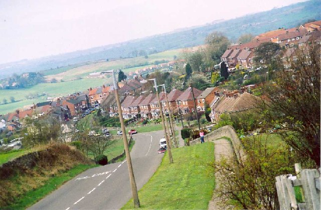
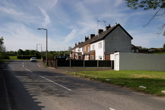
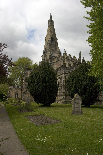
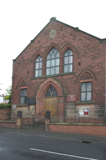
Images are sourced within 2km of 53.006389/-1.452212 or Grid Reference SK3645. Thanks to Geograph Open Source API. All images are credited.


Booth's Wood is located at Grid Ref: SK3645 (Lat: 53.006389, Lng: -1.452212)
Administrative County: Derbyshire
District: Amber Valley
Police Authority: Derbyshire
What 3 Words
///ultra.polka.grips. Near Kilburn, Derbyshire
Nearby Locations
Related Wikis

Bargate, Derbyshire
Bargate is a hamlet in Derbyshire, England. It is a linear settlement as it has only one main road running through it: Belper Road which becomes Sandbed...

Holbrook, Derbyshire
Holbrook is a village in Derbyshire at the southern end of the Pennines around five miles north of Derby, England. The population of the civil parish at...

Holbrook Sports F.C.
Holbrook Sports Football Club is a football club based in Holbrook, near Derby, Derbyshire, England. They are currently members of the Central Midlands...

St Michael's Church, Holbrook
St Michael's Church, Holbrook is a Grade II listed parish church in the Church of England in Holbrook, Derbyshire. == History == The church foundation...
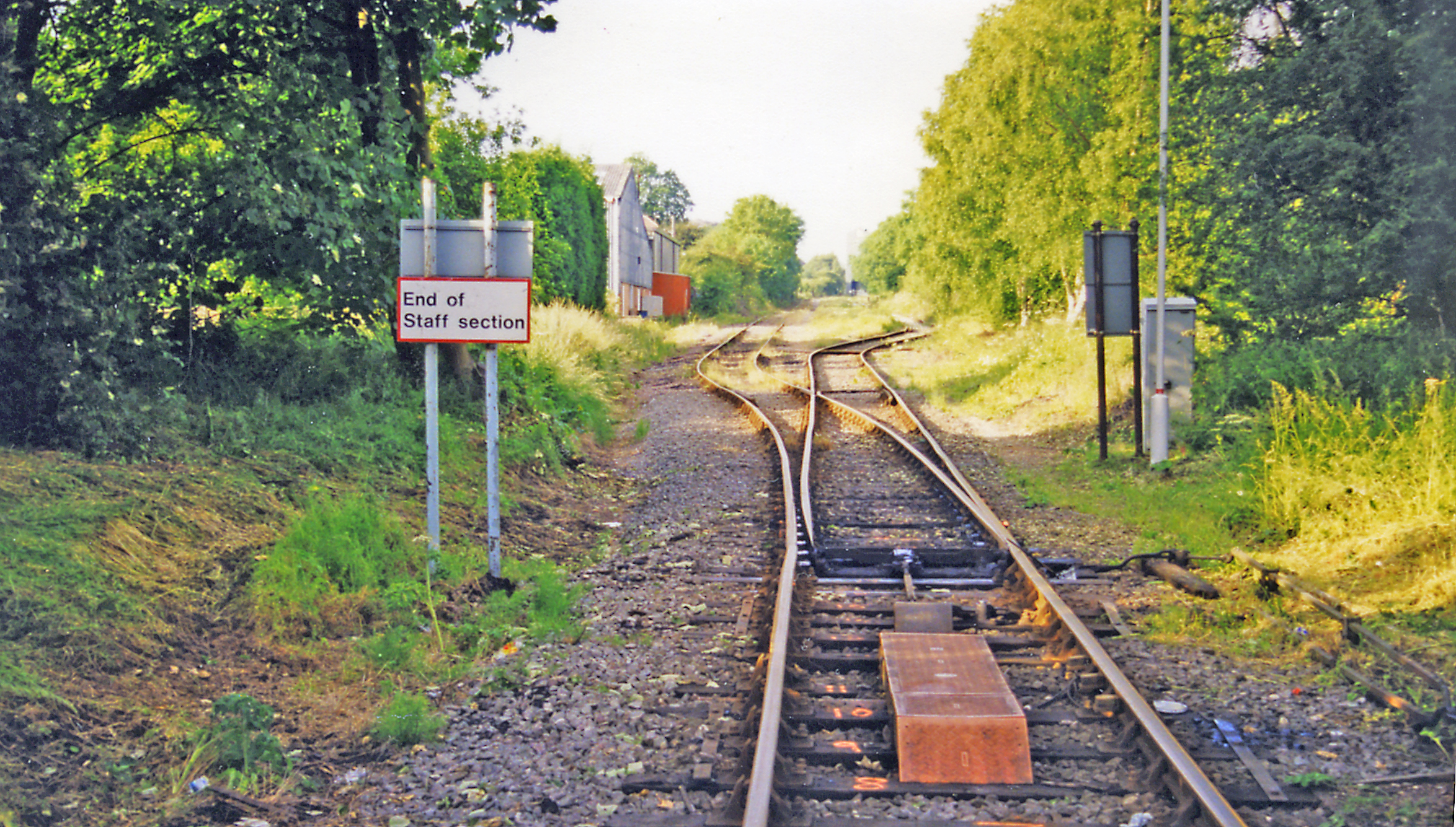
Kilburn railway station
Kilburn railway station was a railway station which served the village of Kilburn in Derbyshire, England. It was opened in 1856 by the Midland Railway...

St Clement's Church, Horsley
St Clement's Church, Horsley is a Grade I listed parish church in the Church of England in Horsley, Derbyshire. == History == The church dates from the...
Denby Bottles
Denby Bottles is a settlement in Derbyshire, England. It is located on the B6179 road in Denby. Denby Bottles Methodist Church is in Danesby Crescent....

Horsley, Derbyshire
Horsley is a small village in the Amber Valley district of Derbyshire, roughly 5 miles north of the City of Derby, England, with a population of 973 at...
Nearby Amenities
Located within 500m of 53.006389,-1.452212Have you been to Booth's Wood?
Leave your review of Booth's Wood below (or comments, questions and feedback).