Loundes Wood
Wood, Forest in Derbyshire North East Derbyshire
England
Loundes Wood

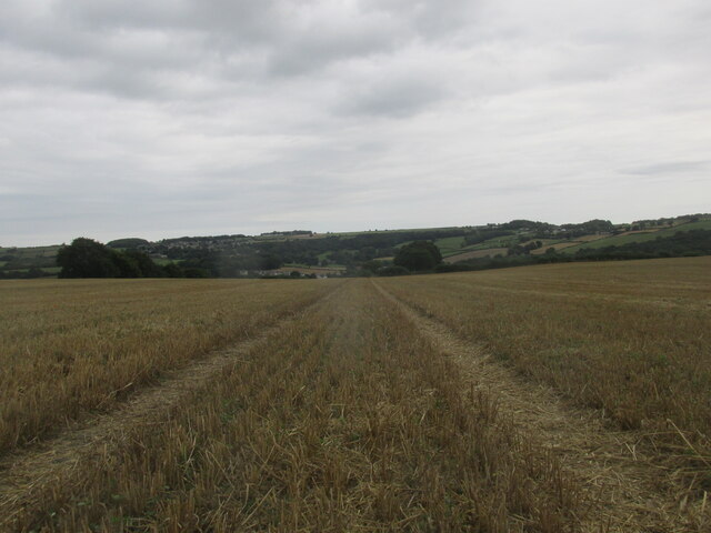
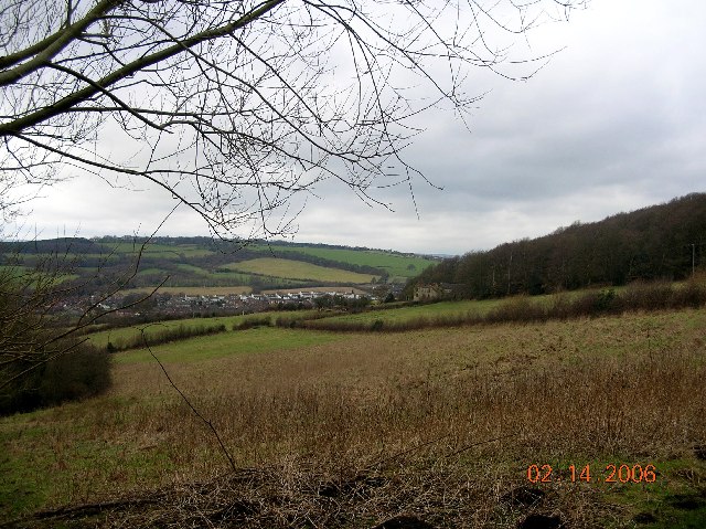
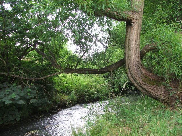
Loundes Wood is a picturesque forest located in Derbyshire, England. Covering an area of approximately 100 acres, this woodland is a popular destination for nature enthusiasts and outdoor lovers. It is situated near the village of Loundes, which is known for its tranquil surroundings and charming rural atmosphere.
The wood boasts a diverse range of tree species, including oak, ash, beech, and birch, creating a rich and vibrant ecosystem. The lush greenery and well-maintained pathways offer visitors a peaceful and serene environment to explore and enjoy. With its dense canopy and towering trees, Loundes Wood provides a perfect habitat for a variety of wildlife, including birds, squirrels, and deer. Birdwatchers can spot various species, such as woodpeckers, thrushes, and robins, making it an ideal spot for bird spotting and photography.
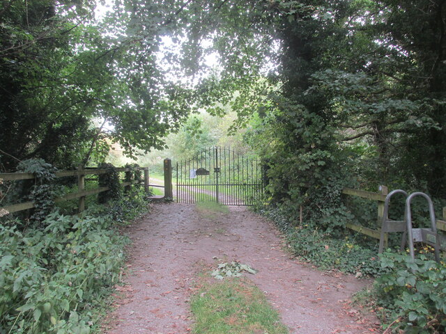
The wood is crisscrossed with a network of footpaths and trails, allowing visitors to take leisurely walks or engage in more strenuous hikes. These pathways are well-marked and maintained, making it easy to explore the forest and discover hidden gems within. Along the trails, visitors can find benches and picnic spots, offering a perfect opportunity for a relaxing break or a family outing.
Loundes Wood also hosts various events and activities throughout the year, including guided walks, nature workshops, and conservation programs. These activities aim to educate visitors about the importance of preserving the natural environment and its inhabitants.
Overall, Loundes Wood is a captivating woodland that offers visitors a chance to connect with nature and experience the beauty of Derbyshire's countryside.
If you have any feedback on the listing, please let us know in the comments section below.
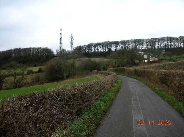
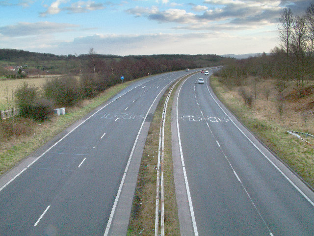
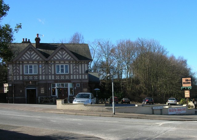
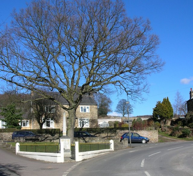
Loundes Wood Images
Images are sourced within 2km of 53.283426/-1.4490973 or Grid Reference SK3676. Thanks to Geograph Open Source API. All images are credited.


Loundes Wood is located at Grid Ref: SK3676 (Lat: 53.283426, Lng: -1.4490973)
Administrative County: Derbyshire
District: North East Derbyshire
Police Authority: Derbyshire
What 3 Words
///chain.moves.spoil. Near Dronfield, Derbyshire
Nearby Locations
Related Wikis

Unstone
Unstone ( UN-stən) is a village and civil parish in the English county of Derbyshire, in the North East Derbyshire administrative district approximately...

Unstone railway station
Unstone railway station was a station in Derbyshire, England. It was built by the Midland Railway in 1870 and was designed by the company architect John...
River Drone
The River Drone is a river which flows south from its source on the Sheffield, South Yorkshire, border. It flows through Dronfield, Unstone and Unstone...
Broomhouse Tunnel
Broomhouse Tunnel was on the Midland Main Line between Chesterfield and Sheffield. It was built by the Midland Railway in 1870 on what is known to railwaymen...
Peak FM (North Derbyshire)
Peak FM was an Independent Local Radio station serving north Derbyshire. The station was folded into Greatest Hits Radio Yorkshire, as part of a rebrand...

Quoit Green
Quoit Green is an area of settlement in Derbyshire, England. It is located in Dronfield, close to the B6057 Chesterfield Road.
Hundall
Hundall is a hamlet in North East Derbyshire in the county of Derbyshire in England. == Location == West Handley lies just south of the village of Apperknowle...
Dronfield Town F.C.
Dronfield Town Football Club is a football club based in Dronfield, Derbyshire, England. They are currently members of the Northern Counties East League...
Nearby Amenities
Located within 500m of 53.283426,-1.4490973Have you been to Loundes Wood?
Leave your review of Loundes Wood below (or comments, questions and feedback).