Bullingtons Copse

Wood, Forest in Berkshire

England

Bullingtons Copse

View south from Combe Gibbet Wright's Farm <a href="https://www.geograph.org.uk/gridref/SU3661">SU3661</a> lies in the dry valley below.
View south from Combe Gibbet Credit: Oliver Dixon

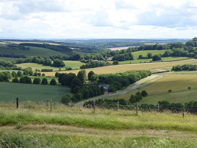
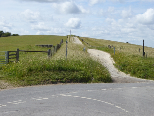
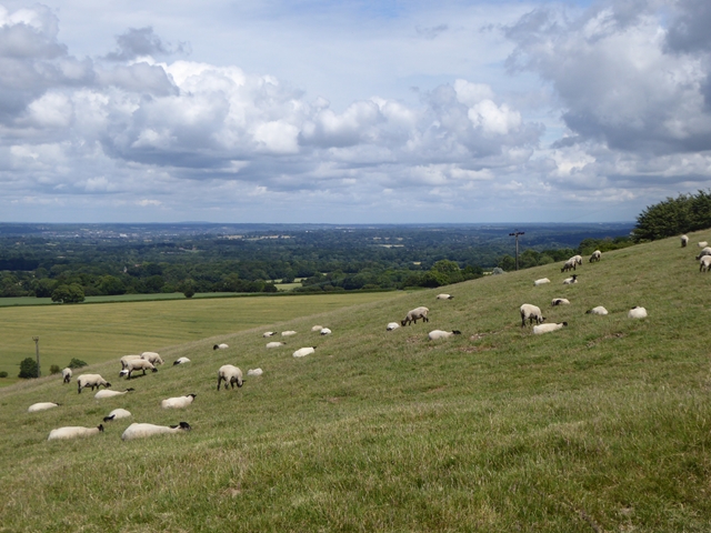
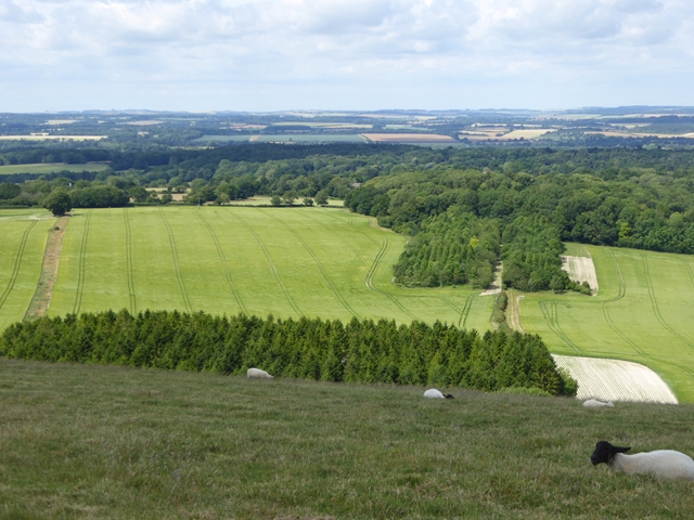
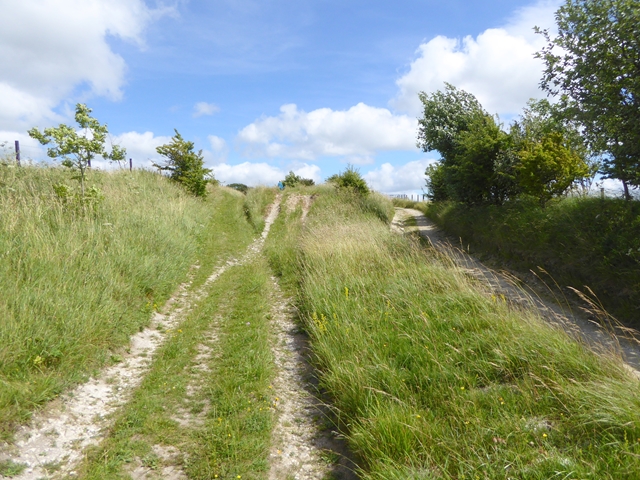
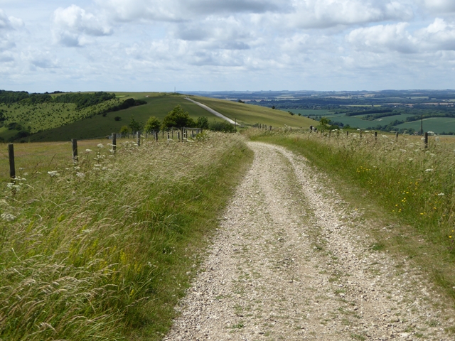
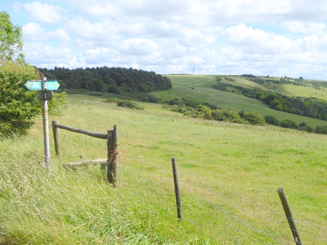
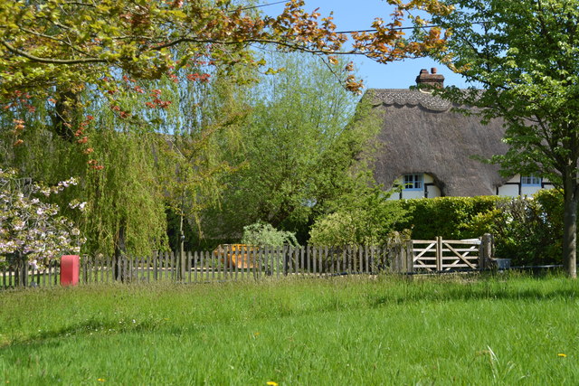
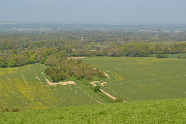
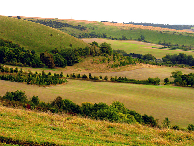
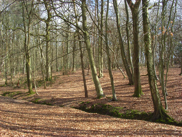
Bullingtons Copse is a picturesque woodland located in Berkshire, England. Situated on the eastern edge of the county, it covers an area of approximately 50 acres and is nestled within the beautiful countryside. The copse is renowned for its natural beauty and tranquil atmosphere, making it a popular destination for nature lovers and outdoor enthusiasts alike.

The copse is predominantly composed of deciduous trees, with a variety of species including oak, beech, and ash. These trees provide a vibrant display of colors throughout the year, with the copse particularly enchanting during the autumn season when the leaves turn shades of red, orange, and gold.

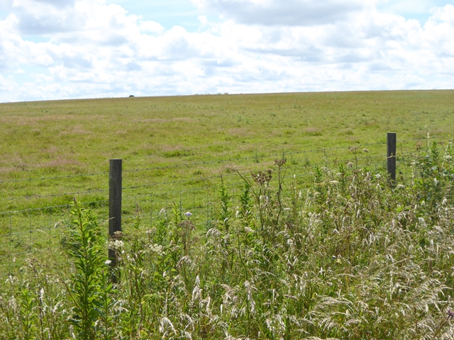
The woodland is home to a diverse range of flora and fauna, making it a haven for wildlife. Visitors may spot various bird species such as robins, woodpeckers, and owls, as well as small mammals including rabbits, squirrels, and badgers. The copse also boasts a rich array of plant life, with bluebells, wild garlic, and primroses carpeting the forest floor in the springtime.

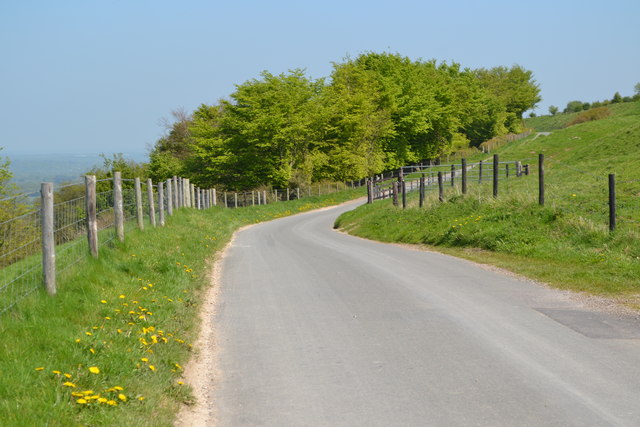
Numerous pathways and trails wind their way through Bullingtons Copse, providing visitors with the opportunity to explore and immerse themselves in the natural surroundings. The copse is a popular spot for walking, jogging, and cycling, with designated routes catering to different interests and abilities.

Overall, Bullingtons Copse offers a peaceful and idyllic retreat from the bustling city life, allowing visitors to reconnect with nature and enjoy the beauty of the Berkshire countryside.

If you have any feedback on the listing, please let us know in the comments section below.

Bullingtons Copse Images

Images are sourced within 2km of 51.366592/-1.4738152 or Grid Reference SU3663. Thanks to Geograph Open Source API. All images are credited.

View south from Combe Gibbet Wright's Farm <a href="https://www.geograph.org.uk/gridref/SU3661">SU3661</a> lies in the dry valley below.
View south from Combe Gibbet
Wright's Farm SU3661 lies in the dry valley below.
On top of the world Combe Gibbet on Inkpen Hill with superb views over the Kennet valley.
On top of the world
Combe Gibbet on Inkpen Hill with superb views over the Kennet valley.
The ridgeway track seen from Combe Gibbet Broad chalky track running down to the car park from Inkpen Hill and beyond towards Walbury Hill <a href="https://www.geograph.org.uk/gridref/SU3761">SU3761</a>.
The ridgeway track seen from Combe Gibbet
Broad chalky track running down to the car park from Inkpen Hill and beyond towards Walbury Hill SU3761.
Gate to Combe Gibbet It is apparent from one of the notices that the hill is well used by paragliders and hang gliders.
Gate to Combe Gibbet
It is apparent from one of the notices that the hill is well used by paragliders and hang gliders.
Track to Combe Gibbet The well-used chalky track from the car park and road junction up to Combe Gibbet.
Track to Combe Gibbet
The well-used chalky track from the car park and road junction up to Combe Gibbet.
Sheep on the slopes of Inkpen Hill The ground drops steeply away to the Kennet valley.
Sheep on the slopes of Inkpen Hill
The ground drops steeply away to the Kennet valley.
Hillside at Inkpen Hill Dropping down to the Kennet valley. Red Wood <a href="https://www.geograph.org.uk/gridref/SU3762">SU3762</a> in the middle distance.
Hillside at Inkpen Hill
Dropping down to the Kennet valley. Red Wood SU3762 in the middle distance.
Parallel tracks on Walbury Hill Near the end of the Wayfarers Walk.
Parallel tracks on Walbury Hill
Near the end of the Wayfarers Walk.
Wayfarers Walk on Walbury Hill Combe Gibbet <a href="https://www.geograph.org.uk/gridref/SU3662">SU3662</a> on the hill in the distance marks the end of the long distance Wayfarers Walk which traverses Hampshire from south-east to north-west.
Wayfarers Walk on Walbury Hill
Combe Gibbet SU3662 on the hill in the distance marks the end of the long distance Wayfarers Walk which traverses Hampshire from south-east to north-west.
The rather boring summit of Walbury Hill It is just possible to make out the trig pillar at the summit of Walbury Hill which at 297 metres is the highest hill in Berkshire and the south-east of England.
The rather boring summit of Walbury Hill
It is just possible to make out the trig pillar at the summit of Walbury Hill which at 297 metres is the highest hill in Berkshire and the south-east of England.
The slopes of Walbury Hill Combe Hill <a href="https://www.geograph.org.uk/gridref/SU3861">SU3861</a> and communications mast beyond. The footpath signpost seems to be in a different location from that shown on the OS map.
The slopes of Walbury Hill
Combe Hill SU3861 and communications mast beyond. The footpath signpost seems to be in a different location from that shown on the OS map.
Wayfarers Walk on Walbury Hill The Wayfarers Walk traverses Hampshire from north-west to south-east.
Wayfarers Walk on Walbury Hill
The Wayfarers Walk traverses Hampshire from north-west to south-east.
Farmland, Inkpen A bridleway in arable farmland on the relative flat southern flank of Inkpen Hill.
Farmland, Inkpen
A bridleway in arable farmland on the relative flat southern flank of Inkpen Hill.
Farmland, Combe The previous day's snow, though not generally very deep, had been accompanied by strong winds, creating fairly large drifts, as here on the leeward side of a hedge.
Farmland, Combe
The previous day's snow, though not generally very deep, had been accompanied by strong winds, creating fairly large drifts, as here on the leeward side of a hedge.
Farmland, Combe Drifted snow on the leeward side of a hedge.
Farmland, Combe
Drifted snow on the leeward side of a hedge.
Thatch by the green at Lower Green
View over farmland from Walbury Hill
Lane on Walbury Hill
Show me another place!

Bullingtons Copse is located at Grid Ref: SU3663 (Lat: 51.366592, Lng: -1.4738152)

Unitary Authority: West Berkshire

Police Authority: Thames Valley

What 3 Words

///cuddled.twins.casino. Near Kintbury, Berkshire

Nearby Locations

Bullingtons Copse

Related Wikis

Inkpen Crocus Field

Inkpen Crocus Fields is a 3.1-hectare (7.7-acre) biological Site of Special Scientific Interest near Inkpen in Berkshire. It is managed by the Berkshire...

Inkpen and Walbury Hills

Inkpen and Walbury Hills is an 86.8-hectare (214-acre) biological Site of Special Scientific Interest south of Kintbury in Berkshire. The site is situated...

Inkpen

Inkpen is a village and civil parish in West Berkshire, 3.5 miles (5.6 km) southeast of Hungerford, most of the land of which is cultivated fields with...
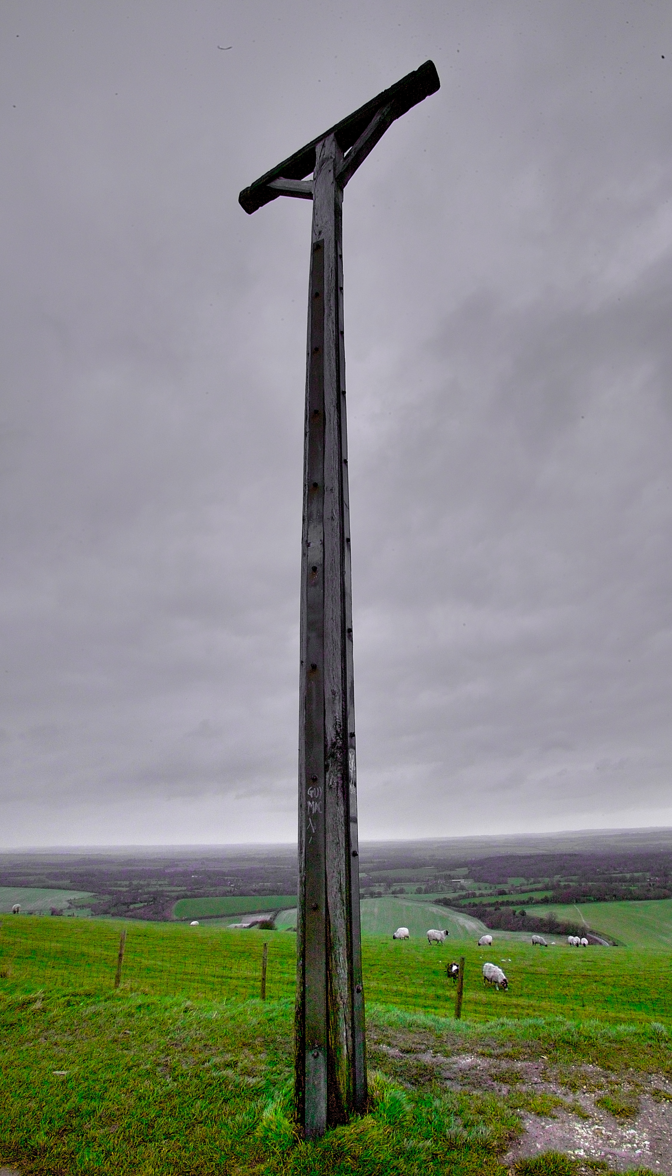
Combe Gibbet

Combe Gibbet is a gibbet at the top of Gallows Down, near the village and just within the civil parish of Combe in Berkshire (formerly Hampshire), England...

Inkpen Common

Inkpen Common is a hamlet and former common in the English county of Berkshire, within the civil parish of Inkpen. The settlement lies south of the A4...

Inkpen Common SSSI

Inkpen Common or Inkpen Great Common is a 12.8-hectare (32-acre) biological Site of Special Scientific Interest east of Inkpen in Berkshire. It is managed...
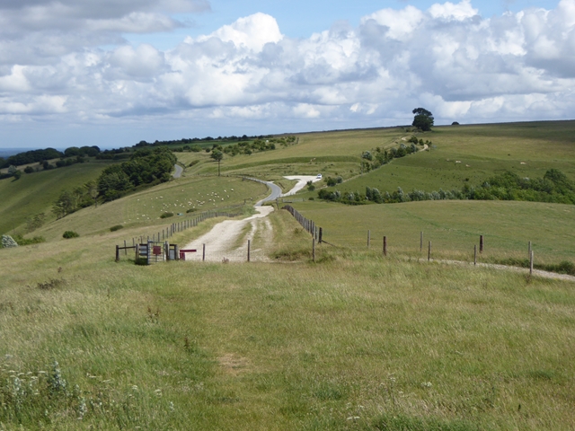
Walbury Hill

Walbury Hill is a summit of the North Wessex Downs in Berkshire, England. With an elevation of 297 metres (974 ft), it is the highest natural point in...

Inkpen Hill

Inkpen Hill is a summit in Berkshire, England, with a maximum elevation of 291 m (955 ft). The hill is about 7 miles (11 km) southwest of Newbury on the...

Nearby Amenities

Located within 500m of 51.366592,-1.4738152
Upper Green
Place: hamlet
Source: NPE
Lat/Long: 51.3695689/-1.4696073
Kirby Farm
Landuse: farmyard
Source: OS-OpenData_StreetView
Lat/Long: 51.3683978/-1.4685521
Give Way
Lat/Long: 51.3694697/-1.468735
Brambly Hedge
Addr Housename: Brambly Hedge
Building: residential
Source: OS-OpenData_StreetView
Lat/Long: 51.3701391/-1.4708855
Power: pole
Lat/Long: 51.3679547/-1.4685001
Power: pole
Lat/Long: 51.3675763/-1.4691213
Power: pole
Lat/Long: 51.3671393/-1.4697546
Power: pole
Lat/Long: 51.3667212/-1.470388
Power: pole
Lat/Long: 51.3663201/-1.4710092
Power: pole
Lat/Long: 51.365412/-1.4719516
Power: pole
Lat/Long: 51.3659493/-1.4716728
Power: pole
Lat/Long: 51.3649069/-1.4722667
Power: pole
Lat/Long: 51.3643847/-1.4726273
Power: pole
Lat/Long: 51.3639041/-1.4729515
Power: pole
Lat/Long: 51.3632646/-1.4728182
Power: pole
Lat/Long: 51.3625986/-1.4726818
The data included in this document is from www.openstreetmap.org. The data is made available under ODbL.

Have you been to Bullingtons Copse?

Leave your review of Bullingtons Copse below (or comments, questions and feedback).