Bradbury Wood

Wood, Forest in Derbyshire North East Derbyshire

England

Bradbury Wood

Harperhill Farm Not in a great state of repair and not in current use.
Harperhill Farm Credit: Bill Boaden

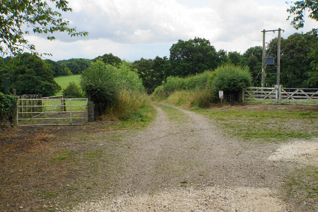
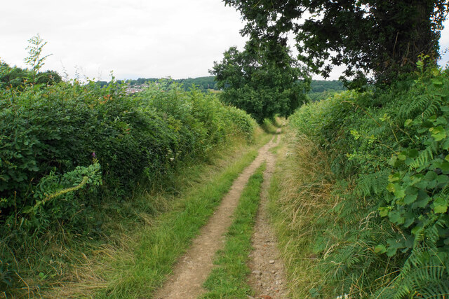
Bradbury Wood, located in Derbyshire, England, is a picturesque forest that covers an area of approximately 50 acres. Known for its stunning beauty and diverse ecosystem, the wood attracts nature enthusiasts and hikers alike.

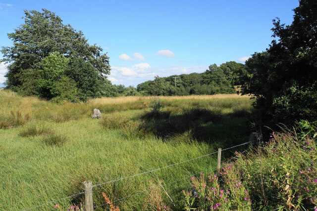
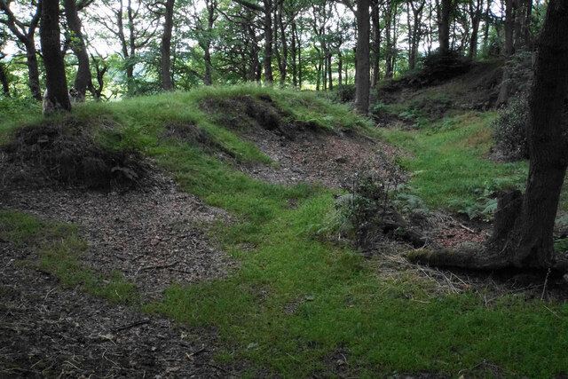
The wood is predominantly composed of broadleaf trees such as oak, beech, and ash, which create a dense canopy providing shade and shelter for a variety of wildlife. The forest floor is covered in a thick carpet of moss, ferns, and wildflowers, adding to its enchanting atmosphere.

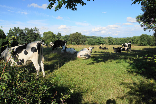
Home to an array of bird species, Bradbury Wood is a birdwatcher's paradise. Visitors can spot colorful birds such as the great spotted woodpecker, tawny owl, and various warblers, among others. Additionally, the wood is inhabited by mammals like foxes, badgers, and squirrels, making it a haven for wildlife enthusiasts.

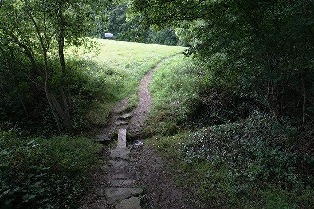
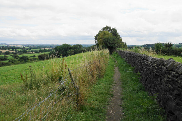
A network of well-marked trails winds through the wood, allowing visitors to explore its natural wonders. These trails vary in difficulty, catering to both novice hikers and seasoned adventurers. The wood also features a designated picnic area, providing a perfect spot to rest and admire the surrounding scenery.

Bradbury Wood is a popular destination year-round, as each season brings its own unique charm. In spring, the forest bursts into life with vibrant blossoms and the songs of nesting birds. Summer offers a lush green landscape, while autumn transforms the wood into a symphony of warm hues. Even in winter, the wood's beauty is not diminished, with frost-covered branches and a serene atmosphere.

With its breathtaking scenery, diverse wildlife, and tranquil ambiance, Bradbury Wood is a true gem in Derbyshire, offering a rejuvenating escape for nature lovers and a delightful experience for all who visit.

If you have any feedback on the listing, please let us know in the comments section below.

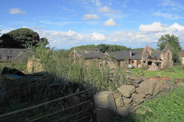
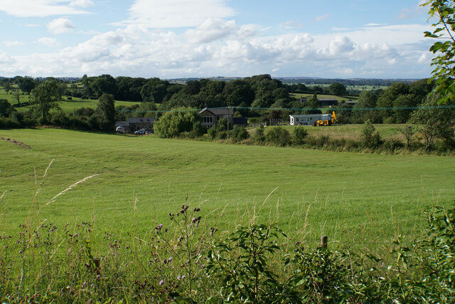
Bradbury Wood Images

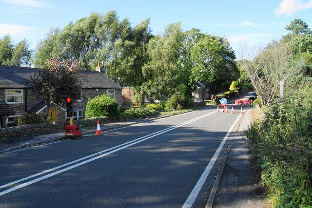
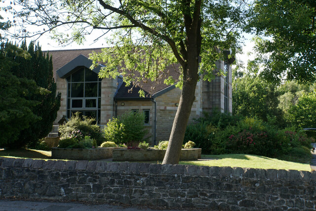
Images are sourced within 2km of 53.201354/-1.4521857 or Grid Reference SK3667. Thanks to Geograph Open Source API. All images are credited.

Harperhill Farm Not in a great state of repair and not in current use.
Harperhill Farm
Not in a great state of repair and not in current use.
Farmland below Stoneycroft Lane The farmland is on the gently rising land to the west of Chesterfield.
Farmland below Stoneycroft Lane
The farmland is on the gently rising land to the west of Chesterfield.
Rough grazing land off Stoneycroft Lane The land is sloping up to Harper Hill.
Rough grazing land off Stoneycroft Lane
The land is sloping up to Harper Hill.
Cattle by Matlock Road On the outskirts of the Chesterfield conurbation.
Cattle by Matlock Road
On the outskirts of the Chesterfield conurbation.
Roadworks on Matlock Road The A632 is down to single-lane traffic.
Roadworks on Matlock Road
The A632 is down to single-lane traffic.
St John's Church, Walton Not easily seen from Matlock Road. The main entrance is on the other side, off Walton Back Lane.
St John's Church, Walton
Not easily seen from Matlock Road. The main entrance is on the other side, off Walton Back Lane.
Track at Nether Moor The track off Nethermoor Road is also a bridleway.
Track at Nether Moor
The track off Nethermoor Road is also a bridleway.
Ford near Nether Moor The track crosses Tricket Brook. There is a footbridge on the right to avoid getting your feet wet.
Ford near Nether Moor
The track crosses Tricket Brook. There is a footbridge on the right to avoid getting your feet wet.
Wet field entrance Grazing land with Hardwick Wood in the background.
Wet field entrance
Grazing land with Hardwick Wood in the background.
Track above Nether Moor A steady climb up with not much to be seen because of the hedgerows.
Track above Nether Moor
A steady climb up with not much to be seen because of the hedgerows.
Track down to Nether Moor You can get a tiny glimpse of some houses in Wingerworth.
Track down to Nether Moor
You can get a tiny glimpse of some houses in Wingerworth.
Footpath to Bole Hill Crossing a small tributary of Tricket Brook at the top of Hardwick Wood.
Footpath to Bole Hill
Crossing a small tributary of Tricket Brook at the top of Hardwick Wood.
Footpath on the Bole Hill ridge Slowly descending towards Clay Cross.
Footpath on the Bole Hill ridge
Slowly descending towards Clay Cross.
Remains of former quarrying on Bole Hill Small scale activity as opposed to the bigger quarry further down the hill.
Remains of former quarrying on Bole Hill
Small scale activity as opposed to the bigger quarry further down the hill.
Farm paraphernalia above Carr House Farm Looking down from Bole Hill.
Farm paraphernalia above Carr House Farm
Looking down from Bole Hill.
Wingerworth Lido A longstanding artificial pool, which became a swimming pool in 1934. It is now used for fishing.
Wingerworth Lido
A longstanding artificial pool, which became a swimming pool in 1934. It is now used for fishing.
Churchyard of All Saints, Wingerworth
Lych gate at All Saints, Wingerworth The church is Grade I listed but the lych gate does not appear to have historical significance.
Lych gate at All Saints, Wingerworth
The church is Grade I listed but the lych gate does not appear to have historical significance.
Show me another place!

Bradbury Wood is located at Grid Ref: SK3667 (Lat: 53.201354, Lng: -1.4521857)

Administrative County: Derbyshire

District: North East Derbyshire

Police Authority: Derbyshire

What 3 Words

///overtime.signs.maker. Near Wingerworth, Derbyshire

Related Wikis

Nearby Amenities

Located within 500m of 53.201354,-1.4521857
Barrier: stile
Stile: squeezer
Lat/Long: 53.1974345/-1.4526495
Barrier: stile
Stile: squeezer
Lat/Long: 53.2016183/-1.4459093
Barrier: stile
Stile: squeezer
Lat/Long: 53.2003227/-1.4467762
Bench
Ele: 119.3284912
Lat/Long: 53.1994486/-1.4489306
Parking
Description: Patch of dirt at side of road
Ele: 147.9274902
Lat/Long: 53.2014795/-1.458499
Ele: 143.0000000
Lat/Long: 53.2025475/-1.4571509
Ele: 147
Lat/Long: 53.2018984/-1.4580628
Ele: 121
Lat/Long: 53.1996096/-1.4511877
Ele: 121
Lat/Long: 53.199347/-1.4507565
Ele: 127.0000000
Lat/Long: 53.2001512/-1.4540959
Ele: 127.0000000
Lat/Long: 53.2001391/-1.4523122
Barrier: stile
Steps: 1
Stile: stepover
Lat/Long: 53.2014579/-1.4586809
Barrier: stile
Stile: squeezer
Lat/Long: 53.1982668/-1.4556744
Barrier: stile
Source: survey
Steps: 0
Stile: stepover
Lat/Long: 53.1985923/-1.4510562
Bench
Backrest: yes
Material: wood
Lat/Long: 53.2047378/-1.4484146
Information: route_marker
Tourism: information
Lat/Long: 53.2009557/-1.4577162
Information: route_marker
Tourism: information
Lat/Long: 53.2014647/-1.4586775
Generator Method: photovoltaic
Generator Output Electricity: yes
Generator Source: solar
Generator Type: solar_photovoltaic_panel
Location: roof
Power: generator
Lat/Long: 53.2057711/-1.4516042
The data included in this document is from www.openstreetmap.org. The data is made available under ODbL.

Have you been to Bradbury Wood?

Leave your review of Bradbury Wood below (or comments, questions and feedback).