Beech Hanging
Wood, Forest in Berkshire
England
Beech Hanging

Beech Hanging, located in Berkshire, England, is a picturesque woodland area known for its dense beech forest. Covering an approximate area of several square kilometers, this natural gem offers visitors a tranquil and serene environment to explore.
The main attraction of Beech Hanging is its stunning beech trees, which provide a dense canopy that filters sunlight and creates a magical ambiance. The woodland is particularly captivating during the autumn months when the leaves turn vibrant shades of gold and orange, creating a breathtaking display of colors.
The forest is home to a diverse range of flora and fauna. Various species of wildflowers, ferns, and mosses can be found throughout the woodland floor, adding to its natural beauty. Many species of birds, including woodpeckers, owls, and various songbirds, make their homes in the forest, making it a haven for birdwatching enthusiasts.
Visitors to Beech Hanging can enjoy a range of activities, including hiking, nature walks, and photography. There are several well-maintained trails that wind their way through the forest, allowing visitors to fully immerse themselves in its beauty. The peaceful atmosphere and abundance of wildlife make it an ideal spot for nature lovers and those seeking solace in the great outdoors.
In summary, Beech Hanging in Berkshire offers a stunning beech forest, vibrant autumn colors, and a diverse range of flora and fauna. Whether you're a keen hiker, a birdwatcher, or simply looking to escape the hustle and bustle of everyday life, Beech Hanging provides a serene and enchanting woodland experience.
If you have any feedback on the listing, please let us know in the comments section below.
Beech Hanging Images
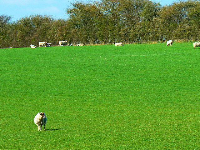
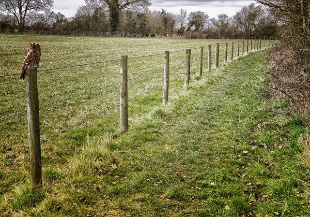
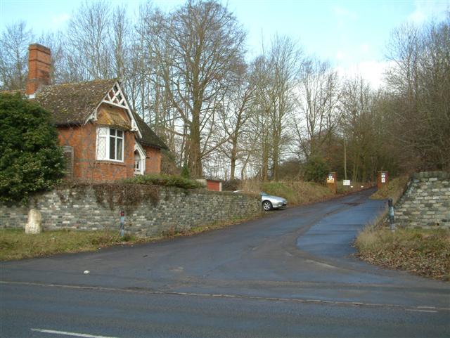
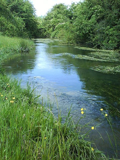
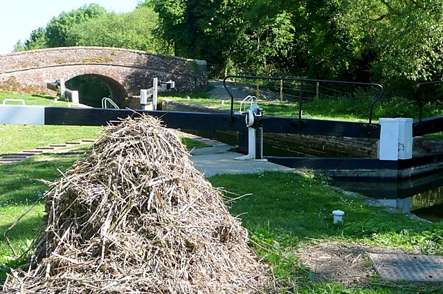
Images are sourced within 2km of 51.416889/-1.4794505 or Grid Reference SU3668. Thanks to Geograph Open Source API. All images are credited.


Beech Hanging is located at Grid Ref: SU3668 (Lat: 51.416889, Lng: -1.4794505)
Unitary Authority: West Berkshire
Police Authority: Thames Valley
What 3 Words
///thousands.avoiding.broth. Near Hungerford, Berkshire
Nearby Locations
Related Wikis

Denford Park
Denford Park is a country house and surrounding estate in the English county of Berkshire, within the civil parish of Kintbury. The estate lies near to...
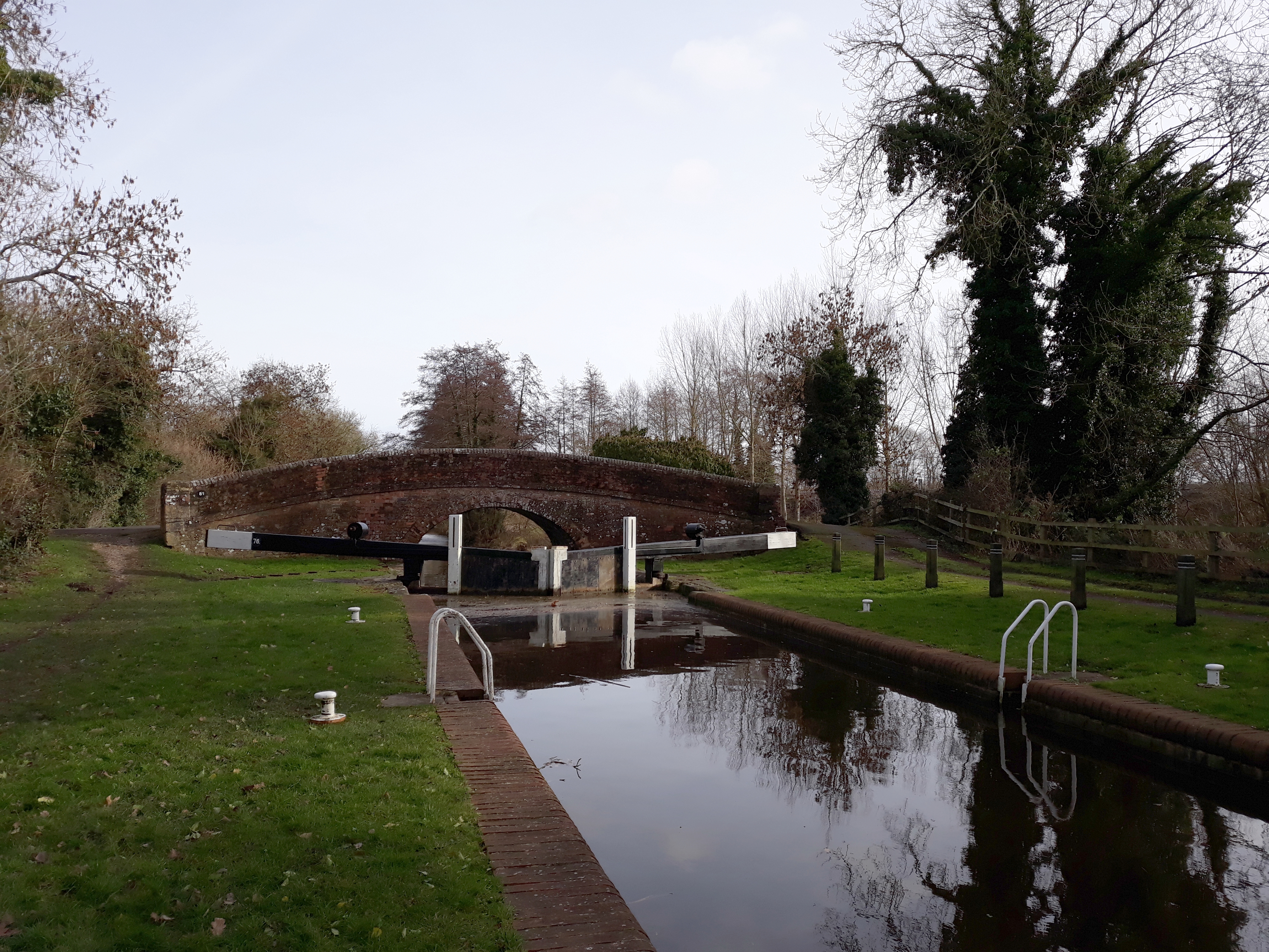
Wire Lock
Wire Lock is a lock on the Kennet and Avon Canal, near Hungerford, Berkshire, England. It is a grade II listed building. == References == == See also... ==
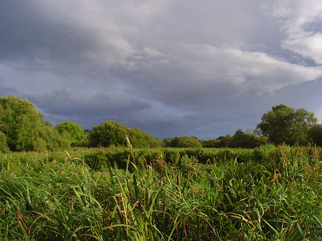
Kennet and Lambourn Floodplain
Kennet and Lambourn Floodplain is a 23.4-hectare (58-acre) biological Site of Special Scientific Interest in six widely separated areas in the floodplains...
Upper Denford
Upper Denford is a hamlet in Berkshire, England, and part of the civil parish of Kintbury. The settlement lies north of the A4 road, and is located approximately...
Lower Denford
Lower Denford is a hamlet in the civil parish of Kintbury in the English county of Berkshire. The settlement lies adjacent to the A4 road, and is located...
River Dun (River Kennet)
The River Dun (historically known as Bedwyn Brook) is a tributary of the River Kennet, flowing through Wiltshire and Berkshire in England. Its main source...

Dun Mill Lock
Dun Mill Lock is a lock on the Kennet and Avon Canal, near Hungerford, Berkshire, England. The lock has a rise/fall of 5 ft 8 in (1.73 m).It is a grade...
Brunsden Lock
Brunsdon Lock is a lock on the Kennet and Avon Canal, near Kintbury, Berkshire, England. The lock has a rise/fall of 4 ft 11 in (1.5 m). The Lock is also...
Nearby Amenities
Located within 500m of 51.416889,-1.4794505Have you been to Beech Hanging?
Leave your review of Beech Hanging below (or comments, questions and feedback).