Bilgrove Copse
Wood, Forest in Hampshire Test Valley
England
Bilgrove Copse
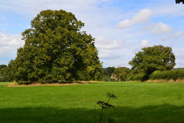
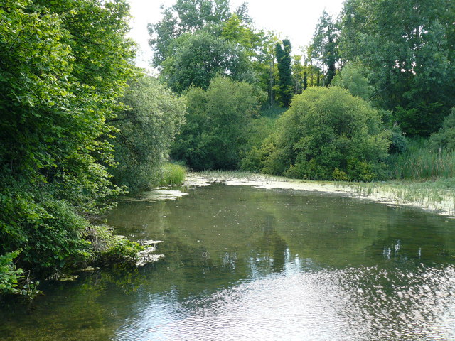
Bilgrove Copse is a picturesque woodland located in Hampshire, England. Spanning over several acres, this enchanting forest is known for its abundant natural beauty and diverse ecosystem. The copse is situated on the outskirts of a small village, surrounded by rolling hills and countryside, offering a tranquil escape for nature lovers and outdoor enthusiasts.
The woodland is primarily composed of native tree species such as oak, beech, and birch, which create a dense canopy overhead. This creates a shaded and cool environment, perfect for leisurely walks or picnics on a hot day. The forest floor is covered in a thick layer of leaf litter, providing a habitat for a wide range of flora and fauna.
Bilgrove Copse is home to a variety of wildlife, including deer, foxes, and a myriad of bird species. The chirping of birds and rustling of leaves can be heard throughout the forest, creating a serene and peaceful atmosphere. In spring, the copse is adorned with vibrant wildflowers, adding a burst of color to the green landscape.
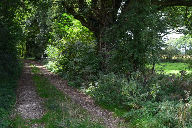
The woodland is crisscrossed with walking trails, allowing visitors to explore its hidden corners and discover its hidden gems. These trails meander through the forest, leading to small clearings and viewpoints, offering stunning vistas of the surrounding countryside.
Bilgrove Copse is not only a haven for wildlife but also a popular destination for outdoor activities such as hiking, birdwatching, and photography. It provides a peaceful retreat for those seeking solace in nature and a chance to immerse themselves in the beauty of Hampshire's woodlands.
If you have any feedback on the listing, please let us know in the comments section below.
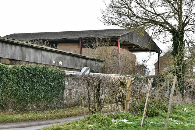
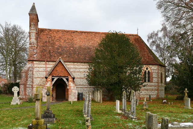
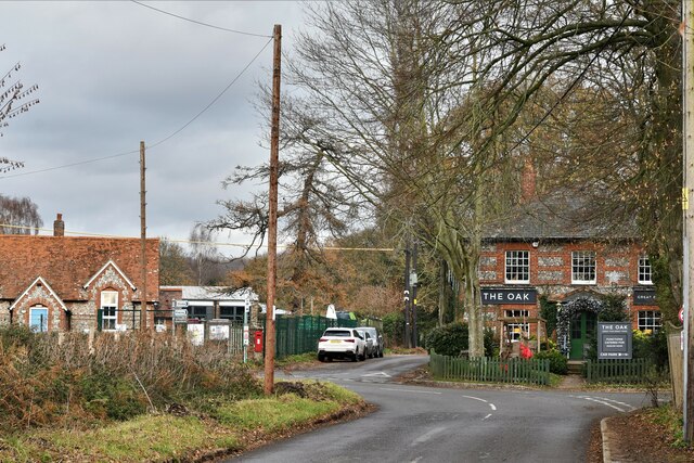
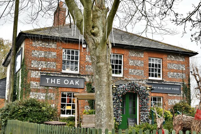
Bilgrove Copse Images
Images are sourced within 2km of 51.238088/-1.4816991 or Grid Reference SU3648. Thanks to Geograph Open Source API. All images are credited.


Bilgrove Copse is located at Grid Ref: SU3648 (Lat: 51.238088, Lng: -1.4816991)
Administrative County: Hampshire
District: Test Valley
Police Authority: Hampshire
What 3 Words
///schematic.boardroom.obeyed. Near Andover, Hampshire
Nearby Locations
Related Wikis

Knights Enham
Knights Enham is a small village and former civil parish, now in the parish of Enham Alamein, in the Test Valley district of Hampshire, England. It lies...

Andover New Street F.C.
Andover New Street Football Club is a football club based in Andover, Hampshire, England. Affiliated to the Hampshire Football Association, they are currently...

Smannell
Smannell is a village in Hampshire, England, located two miles north-east of Andover. It lies in the parish of Smannell and Enham Alamein. At the 2011...
Little London, Andover, Hampshire
Little London is a hamlet and civil parish which lies 3.5 miles north of Andover in Hampshire, England. The hamlet is in the parish of Smannell (where...
Anton Lakes
Anton Lakes is a 33.1-hectare (82-acre) Local Nature Reserve in Andover in Hampshire. It is owned by Test Valley Borough Council and managed by the council...
Charlton, Hampshire
Charlton is a small village and civil parish north-west of Andover. Due to the expansion of Andover in recent years the two settlements are now effectively...
Wildhern
Wildhern is a small village and civil parish in the Test Valley district of Hampshire, England. It is in the civil parish of Tangley. Its nearest town...
Hatherden
Hatherden is a village and civil parish in the Test Valley district of Hampshire, England. Its nearest town is Andover, which lies approximately 3.3 miles...
Nearby Amenities
Located within 500m of 51.238088,-1.4816991Have you been to Bilgrove Copse?
Leave your review of Bilgrove Copse below (or comments, questions and feedback).