Paddock Plantation

Wood, Forest in Berkshire

England

Paddock Plantation

Radley Farm Looking East to West across the square
Radley Farm Credit: Chris Shaw

Paddock Plantation, located in Berkshire, England, is a picturesque woodland area that covers an estimated area of approximately 200 acres. Nestled in the heart of the county, the plantation is known for its dense, lush forest and diverse range of flora and fauna.

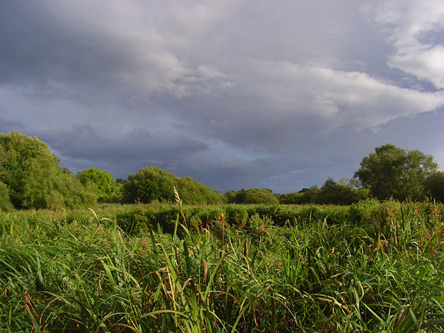
The woodland is predominantly made up of deciduous trees, including oak, beech, and birch, which provide a stunning display of colors during the autumn months. The thick canopy creates a serene and peaceful environment, shielding visitors from the outside world and creating a sense of tranquility.

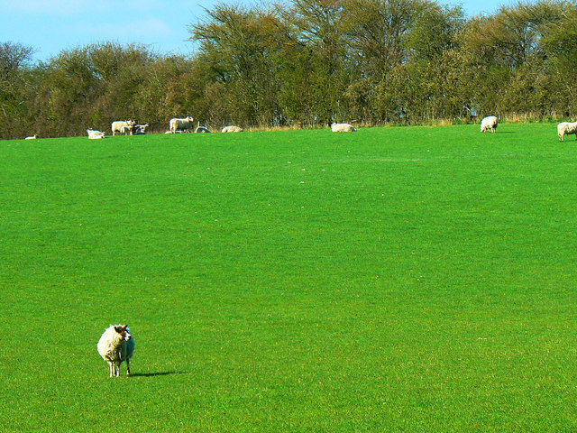
Paddock Plantation is a haven for wildlife enthusiasts, as it is home to a wide variety of animal species. Deer can often be spotted grazing amongst the trees, and foxes, badgers, and rabbits are also known to inhabit the area. Birdwatchers will be delighted by the presence of various species, including woodpeckers, owls, and songbirds.

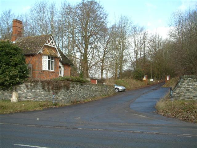
The plantation offers numerous walking trails, allowing visitors to explore the woodland at their leisure. These trails cater to different levels of fitness and provide breathtaking views of the surrounding countryside. There are also designated picnic areas and benches scattered throughout the plantation, providing visitors with the opportunity to sit back and enjoy the natural beauty of the area.

Paddock Plantation is managed by the local council, ensuring that it remains a well-preserved natural habitat for both flora and fauna. The woodland also plays a vital role in maintaining the region's ecological balance, while also providing a popular recreational space for locals and tourists alike.

If you have any feedback on the listing, please let us know in the comments section below.

Paddock Plantation Images

Images are sourced within 2km of 51.423211/-1.4796232 or Grid Reference SU3669. Thanks to Geograph Open Source API. All images are credited.

Radley Farm Looking East to West across the square
Radley Farm
Looking East to West across the square
Heath Hanger Copse Viewed from the East
Heath Hanger Copse
Viewed from the East
Hungerford Newtown Farmland Looking NE across farmland
Hungerford Newtown Farmland
Looking NE across farmland
Farmland, Hungerford Newtown Beside Dunkin's Copse to the north of Great Hidden Farm. The footpath runs to the right of the fence.
Farmland, Hungerford Newtown
Beside Dunkin's Copse to the north of Great Hidden Farm. The footpath runs to the right of the fence.
Hungerford Newtown A view across the village from the east. It sits in a valley that descends from Lambourn Woodlands to the Kennet at Kintbury.
Hungerford Newtown
A view across the village from the east. It sits in a valley that descends from Lambourn Woodlands to the Kennet at Kintbury.
Footpath to Radley Farm The footpath passing alongside the edge of a copse shortly after having left the road from Clapton.
Footpath to Radley Farm
The footpath passing alongside the edge of a copse shortly after having left the road from Clapton.
Stibbs Wood, Radley The deciduous woodland is crossed by the public footpath west of Radley Farm. This is the view to the north. To the south are pheasant pens.
Stibbs Wood, Radley
The deciduous woodland is crossed by the public footpath west of Radley Farm. This is the view to the north. To the south are pheasant pens.
Field of sheep, south-east of Hungerford Newtown The sheep are grazing peacefully in the complete absence of any disturbance from intercontinental aircraft since UK airspace is effectively closed following the emission of vast amounts of ash from the Eyjafjallajökull volcano in Iceland a few days earlier. Not that there would be much disturbance anyway since such aircraft would be at about 30,000 feet hereabouts. It does mean that there are no condensation trails.
Field of sheep, south-east of Hungerford Newtown
The sheep are grazing peacefully in the complete absence of any disturbance from intercontinental aircraft since UK airspace is effectively closed following the emission of vast amounts of ash from the Eyjafjallajökull volcano in Iceland a few days earlier. Not that there would be much disturbance anyway since such aircraft would be at about 30,000 feet hereabouts. It does mean that there are no condensation trails.
Sheep in a field near Hungerford Newtown There are a few lambs in this image near the hedge. Sunny but cool today.
Sheep in a field near Hungerford Newtown
There are a few lambs in this image near the hedge. Sunny but cool today.
Tidy entrance way One of the ways to Eddington House from the A338.
Complete with unharvested wheat crop.
Tidy entrance way
One of the ways to Eddington House from the A338. Complete with unharvested wheat crop.
A338 towards Hungerford At the entrance to the Eddington Estate.
A338 towards Hungerford
At the entrance to the Eddington Estate.
Old Milestone by the A338, north of Hungerford Carved stone post by the A338, in parish of Hungerford (West Berkshire District), Eddington House; North of entrance to The Warren, below bushes among ivy on wide verge, on East side of road. Besselsleigh tombstone, erected by the Besselsleigh turnpike trust in the 18th century. 

Inscription reads:-
To
WANTAGE
(12)
HUNGERFORD
1½ 
Carved benchmark and rivet on top. 

West Berkshire HER.
HER Number: MWB17748 <span class="nowrap"><a title="https://www.heritagegateway.org.uk/Gateway/Results_Single.aspx?uid=MWB17748&resourceID=1030" rel="nofollow ugc noopener" href="https://www.heritagegateway.org.uk/Gateway/Results_Single.aspx?uid=MWB17748&resourceID=1030">Link</a><img style="margin-left:2px;" alt="External link" title="External link - shift click to open in new window" src="https://s1.geograph.org.uk/img/external.png" width="10" height="10"/></span>

Milestone Society National ID: BE_WAHG12
Old Milestone by the A338, north of Hungerford
Carved stone post by the A338, in parish of Hungerford (West Berkshire District), Eddington House; North of entrance to The Warren, below bushes among ivy on wide verge, on East side of road. Besselsleigh tombstone, erected by the Besselsleigh turnpike trust in the 18th century. Inscription reads:- To WANTAGE (12) HUNGERFORD 1½ Carved benchmark and rivet on top. West Berkshire HER. HER Number: MWB17748 LinkExternal link Milestone Society National ID: BE_WAHG12
Pasture, Kintbury Sheep beside the footpath to the east of Radley Farm.
Pasture, Kintbury
Sheep beside the footpath to the east of Radley Farm.
Radley Bottom, Kintbury The dry valley runs between Kintbury and Hungerford Newtown and continues beyond there, with different names at different points, towards the Membury area.
Radley Bottom, Kintbury
The dry valley runs between Kintbury and Hungerford Newtown and continues beyond there, with different names at different points, towards the Membury area.
Pasture and footpath, Hungerford The footpath is fenced in, but with a generous width, at the edge of three fields to the north of Great Hidden Farm.
Pasture and footpath, Hungerford
The footpath is fenced in, but with a generous width, at the edge of three fields to the north of Great Hidden Farm.
The entrance to Eddington House on Eddington Hill
Eddington Hill towards Hungerford
Radley Bottom Towards a small village oddly named Hungerford Newtown.
Radley Bottom
Towards a small village oddly named Hungerford Newtown.
Show me another place!

Paddock Plantation is located at Grid Ref: SU3669 (Lat: 51.423211, Lng: -1.4796232)

Unitary Authority: West Berkshire

Police Authority: Thames Valley

What 3 Words

///fittingly.huts.inner. Near Hungerford, Berkshire

Related Wikis

Upper Denford

Upper Denford is a hamlet in Berkshire, England, and part of the civil parish of Kintbury. The settlement lies north of the A4 road, and is located approximately...

Denford Park

Denford Park is a country house and surrounding estate in the English county of Berkshire, within the civil parish of Kintbury. The estate lies near to...

Kennet and Lambourn Floodplain

Kennet and Lambourn Floodplain is a 23.4-hectare (58-acre) biological Site of Special Scientific Interest in six widely separated areas in the floodplains...

Lower Denford

Lower Denford is a hamlet in the civil parish of Kintbury in the English county of Berkshire. The settlement lies adjacent to the A4 road, and is located...

Nearby Amenities

Located within 500m of 51.423211,-1.4796232
The data included in this document is from www.openstreetmap.org. The data is made available under ODbL.

Have you been to Paddock Plantation?

Leave your review of Paddock Plantation below (or comments, questions and feedback).