Ash Wood
Wood, Forest in Derbyshire
England
Ash Wood

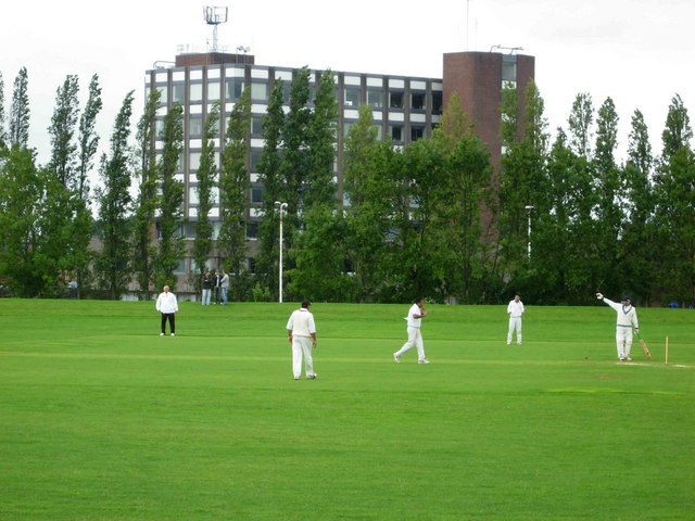
Ash Wood is a picturesque forest located in the county of Derbyshire, England. Covering an area of approximately 200 hectares, it is nestled within the beautiful landscape of the Peak District National Park. The wood is predominantly composed of ash trees, hence its name, and is a popular destination for nature enthusiasts and hikers.
The woodland is characterized by its diverse ecosystem, with a rich variety of flora and fauna. The dense canopy of ash trees creates a tranquil atmosphere, providing shelter for numerous bird species such as woodpeckers, owls, and warblers. Additionally, the forest floor is adorned with a carpet of wildflowers and ferns during the spring and summer months, adding to its natural beauty.
Ash Wood offers a network of well-maintained paths and trails, making it an ideal location for leisurely walks and more challenging hikes. Visitors can explore the wood's different sections, each with its own distinct features, including open glades, ancient trees, and babbling brooks. The wood is also home to several species of deer and other wildlife, providing opportunities for wildlife spotting and photography.
The management of Ash Wood prioritizes conservation and sustainability, ensuring the preservation of this valuable natural resource for future generations. Visitors are encouraged to respect the woodland's fragile ecosystem by sticking to designated paths, refraining from littering, and avoiding damage to vegetation.
Overall, Ash Wood in Derbyshire offers a serene and captivating experience for nature lovers, with its scenic trails, abundant wildlife, and enchanting woodland setting. Whether seeking solace in nature or indulging in outdoor activities, this forest is a must-visit destination for anyone exploring the Derbyshire countryside.
If you have any feedback on the listing, please let us know in the comments section below.
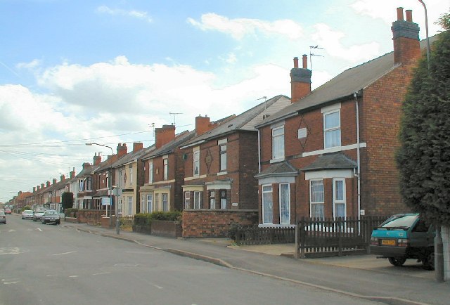
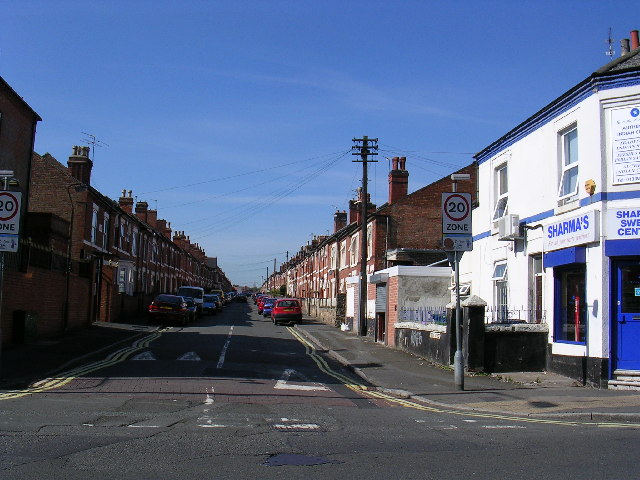
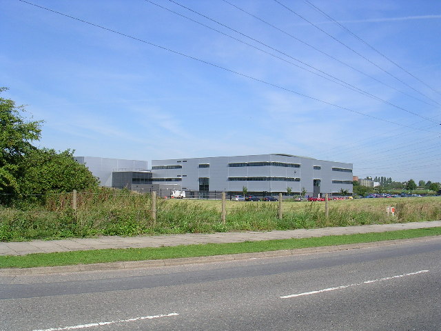
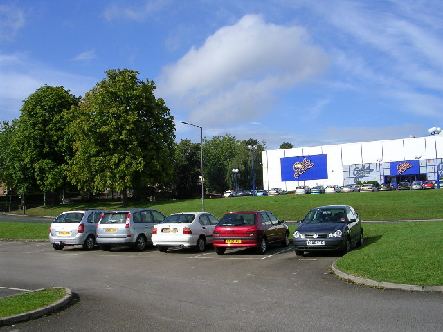
Ash Wood Images
Images are sourced within 2km of 52.894151/-1.4628136 or Grid Reference SK3633. Thanks to Geograph Open Source API. All images are credited.


Ash Wood is located at Grid Ref: SK3633 (Lat: 52.894151, Lng: -1.4628136)
Unitary Authority: Derby
Police Authority: Derbyshire
What 3 Words
///hurls.reason.costs. Near Sinfin, Derbyshire
Related Wikis
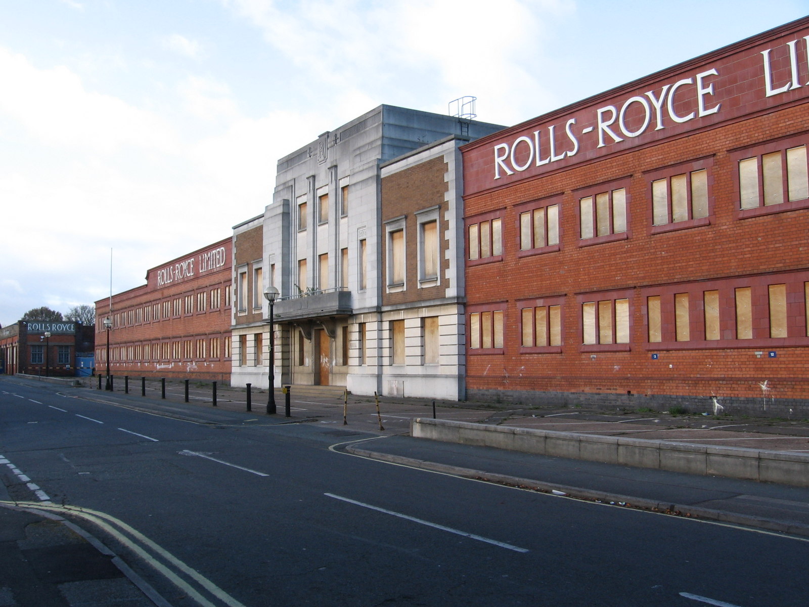
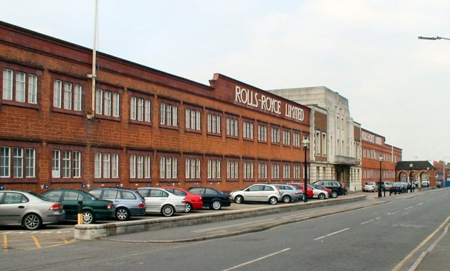
Marble Hall, Derby
The Marble Hall is an office block of the former Rolls-Royce Limited factory in Osmaston, Derby, in England. The factory was developed from 1907 to manufacture...

2012 Derby arson attack
The 2012 Derby arson attack occurred on 11 May 2012 at 18 Victory Road, a semi-detached house in a residential street in Osmaston (erroneously reported...

Osmaston, Derby
Osmaston is a suburb of Derby, England. It is about 3 miles south of the city centre. It is written in the Domesday Book as Osmundestune. In 1307, the...

Peartree railway station
Peartree railway station is a railway station serving the areas of Pear Tree, Normanton and Osmaston in the city of Derby, England. It is one of three...
Nearby Amenities
Located within 500m of 52.894151,-1.4628136Have you been to Ash Wood?
Leave your review of Ash Wood below (or comments, questions and feedback).