Church View Wood

Wood, Forest in Leicestershire North West Leicestershire

England

Church View Wood

Bridge 61A, Ashby Canal Bridge 61a marks the end of the 21 miles of canal under the control of the Canal & River Trust. A short stretch beyond here belongs to the Ashby Canal Association and is used for moorings - in any case as the sign states it was temporarily closed when this photograph was taken. The long-term aspiration is to restore the canal through to Moira but for the time being this is as far as most boaters can go.
Bridge 61A, Ashby Canal Credit: Stephen McKay

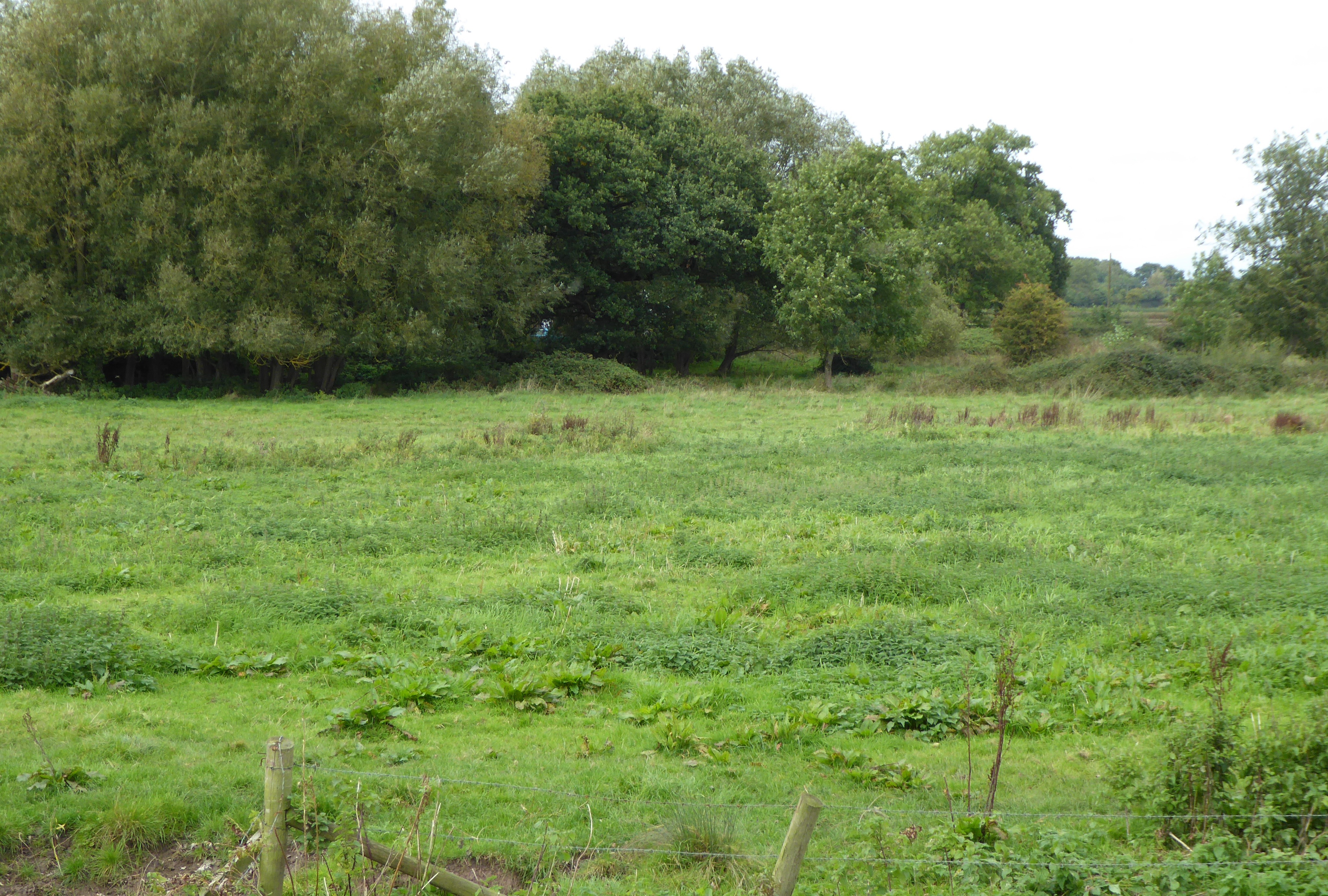
Church View Wood is a picturesque woodland located in Leicestershire, England. Situated in the heart of the county, this wood is a popular destination for nature enthusiasts and outdoor enthusiasts alike. Covering an area of approximately 20 hectares, the woodland is home to a diverse range of flora and fauna.

The wood is predominantly made up of deciduous trees such as oak, beech, and ash, creating a stunning display of colors during the autumn months. The thick canopy provides a habitat for a variety of bird species, including woodpeckers, thrushes, and owls. Additionally, the woodland floor is adorned with an array of wildflowers, adding to its natural beauty.

Church View Wood is intersected by a network of well-maintained footpaths, allowing visitors to explore the area and enjoy the tranquil surroundings. These paths provide access to various viewpoints, including a hilltop viewpoint that offers breathtaking panoramic views of the surrounding countryside.

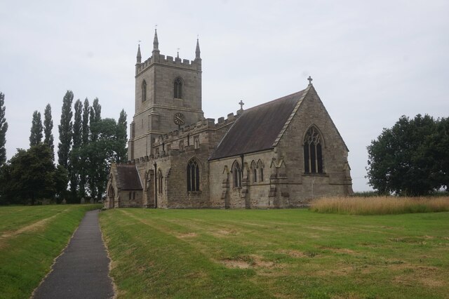
The wood also holds historical significance, with the remains of a medieval church still visible within its boundaries. This adds an element of intrigue and charm to the woodland, making it a fascinating place to explore for those interested in history.

Church View Wood is open to the public year-round and provides a peaceful retreat away from the hustle and bustle of city life. Whether it's a leisurely stroll, birdwatching, or simply enjoying a picnic amidst nature, this wood offers a serene and rejuvenating experience for all who visit.

If you have any feedback on the listing, please let us know in the comments section below.

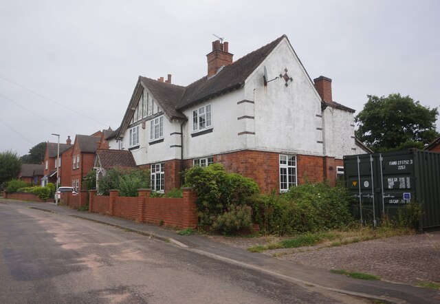
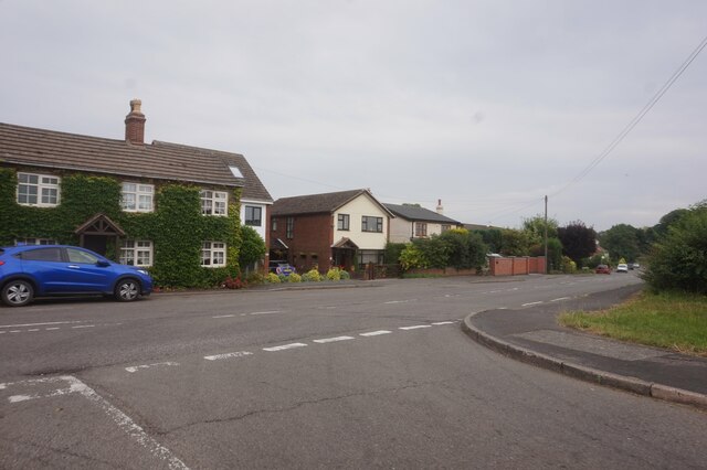
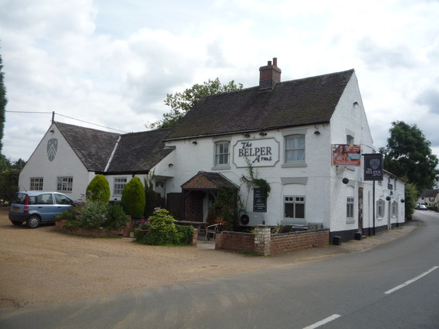
Church View Wood Images

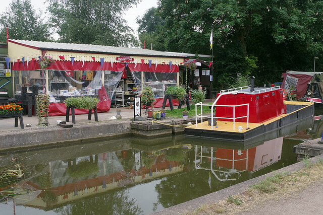
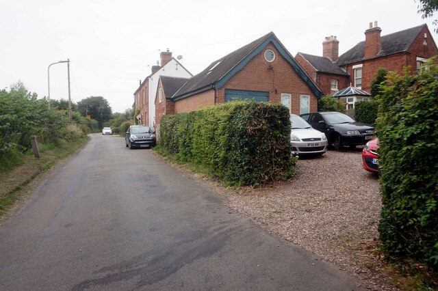
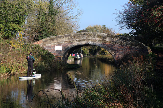
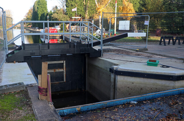
Images are sourced within 2km of 52.689779/-1.4660786 or Grid Reference SK3610. Thanks to Geograph Open Source API. All images are credited.

Bridge 61A, Ashby Canal Bridge 61a marks the end of the 21 miles of canal under the control of the Canal & River Trust. A short stretch beyond here belongs to the Ashby Canal Association and is used for moorings - in any case as the sign states it was temporarily closed when this photograph was taken. The long-term aspiration is to restore the canal through to Moira but for the time being this is as far as most boaters can go.
Bridge 61A, Ashby Canal
Bridge 61a marks the end of the 21 miles of canal under the control of the Canal & River Trust. A short stretch beyond here belongs to the Ashby Canal Association and is used for moorings - in any case as the sign states it was temporarily closed when this photograph was taken. The long-term aspiration is to restore the canal through to Moira but for the time being this is as far as most boaters can go.
Snarestone Canal Terminus Just beyond the winding hole (turning point) at the northern end of the 21 miles of the Ashby Canal available for navigation, the Ashby Canal Association has a shop selling souvenirs and canal memorabilia. The chosen colour scheme is red and cream finished off with a British Railways style Snarestone totem sign (quite inauthentic actually - Snarestone station was closed in LMS days). The workboat is painted in matching colours.
Snarestone Canal Terminus
Just beyond the winding hole (turning point) at the northern end of the 21 miles of the Ashby Canal available for navigation, the Ashby Canal Association has a shop selling souvenirs and canal memorabilia. The chosen colour scheme is red and cream finished off with a British Railways style Snarestone totem sign (quite inauthentic actually - Snarestone station was closed in LMS days). The workboat is painted in matching colours.
School Lane, Newton Burgoland
Crossroads on School Lane, Newton Burgoland
Road sign on Main Street, Newton Burgoland
Houses on Main Street Newton Burgoland
The Belper Arms, Main Street, Newton Burgoland
Newton Road, Swepstone
Ashby Canal - bridge No. 61 Near Snarestone Wharf. The bridge is a turnover bridge and takes the towpath from one side to the other.
Ashby Canal - bridge No. 61
Near Snarestone Wharf. The bridge is a turnover bridge and takes the towpath from one side to the other.
Snarestone Wharf On the partly restored Ashby Canal.
Snarestone Wharf
On the partly restored Ashby Canal.
Ashby Canal, Snarestone Wharf A newly installed stop lock gate that is not yet in use as there are stop planks holding back the water on both sides.
Ashby Canal, Snarestone Wharf
A newly installed stop lock gate that is not yet in use as there are stop planks holding back the water on both sides.
Houses on Main Lane, Swepstone
St Peter's Church, Swepstone
Main Road, Swepstone
Ashby Canal Coal Mine Marker
Snarestone Wharf - engine beams Snarestone Wharf is operated by the Ashby Canal Association. These two beam engine beams came from the adjoining Snarestone Pumping Station and were built by Bever, Dorling & Company of Dewsbury in 1890-2. The pumping station building is now a house but still retains parts of the engines and their supporting structure. The beams have been erected here with some of the handrails and one of the hand winches from the site.
The beams in their original location are seen here - <a href="https://www.geograph.org.uk/photo/1552999">SK3410 : Beam engine parts, Snarestone Pumping Station</a>.
Snarestone Wharf - engine beams
Snarestone Wharf is operated by the Ashby Canal Association. These two beam engine beams came from the adjoining Snarestone Pumping Station and were built by Bever, Dorling & Company of Dewsbury in 1890-2. The pumping station building is now a house but still retains parts of the engines and their supporting structure. The beams have been erected here with some of the handrails and one of the hand winches from the site. The beams in their original location are seen here - SK3410 : Beam engine parts, Snarestone Pumping Station.
Snarestone Wharf - slipway and swans On the partly restored Ashby Canal.
Snarestone Wharf - slipway and swans
On the partly restored Ashby Canal.
Show me another place!

Church View Wood is located at Grid Ref: SK3610 (Lat: 52.689779, Lng: -1.4660786)

Administrative County: Leicestershire

District: North West Leicestershire

Police Authority: Leicestershire

What 3 Words

///grass.plod.currently. Near Measham, Leicestershire

Nearby Locations

Swepstone Church View Wood

Related Wikis

Swepstone

Swepstone is a village in the civil parish of Swepstone and Newton Burgoland, in the North West Leicestershire district of Leicestershire, England, about...

Newton Burgoland

Newton Burgoland is a village in the civil parish of Swepstone and Newton Burgoland, in the North West Leicestershire district of Leicestershire, England...

Snarestone

Snarestone is a small rural village in North West Leicestershire, England.It lies on the edge of the National Forest and is 5 miles (8 km) from the market...

Snarestone railway station

Snarestone railway station is a disused railway station that formerly served the village of Snarestone, North West Leicestershire from 1873 to 1931. The...

Newton Burgoland Marshes

Newton Burgoland Marshes is an 8.7-hectare (21-acre) biological Site of Special Scientific Interest east of Newton Burgoland in Leicestershire.This site...

Heather Preceptory

Heather Preceptory (pronounced: ; He-ther) was a preceptory of the Knights Hospitaller, established in the village of Heather, Leicestershire, United Kingdom...

Heather, Leicestershire

Heather ( HEE-dhər) is a village west of Ibstock in North West Leicestershire, England. The population of the civil parish was 949 at the 2001 census reducing...

Heather St John's F.C.

Heather St John's Football Club is a football club based in the village of Heather, Leicestershire, England. They are currently members of the Midland...

Nearby Amenities

Located within 500m of 52.689779,-1.4660786
Barrier: cycle_barrier
Lat/Long: 52.6889714/-1.4610556
Barrier: stile
Lat/Long: 52.6882398/-1.464226
Barrier: stile
Lat/Long: 52.6883926/-1.4658085
Barrier: stile
Lat/Long: 52.6884186/-1.4659748
Barrier: stile
Lat/Long: 52.6888738/-1.4675573
Power: pole
Lat/Long: 52.6870767/-1.460664
Power: pole
Lat/Long: 52.6881758/-1.4613614
Power: pole
Lat/Long: 52.6893383/-1.4621392
Power: pole
Lat/Long: 52.6914712/-1.4635956
Power: pole
Lat/Long: 52.6937374/-1.4650387
Power: pole
Lat/Long: 52.6926092/-1.464344
Power: pole
Source: bing
Lat/Long: 52.6903381/-1.4628071
The data included in this document is from www.openstreetmap.org. The data is made available under ODbL.

Have you been to Church View Wood?

Leave your review of Church View Wood below (or comments, questions and feedback).