Birkwood Plantation
Wood, Forest in Yorkshire
England
Birkwood Plantation

Birkwood Plantation, located in Yorkshire, England, is a picturesque woodland area that covers a vast expanse of land, providing a serene retreat for nature enthusiasts and outdoor enthusiasts alike. Spanning several acres, this enchanting forest is renowned for its rich biodiversity and stunning natural beauty.
The plantation is predominantly composed of mature deciduous trees, such as oak, beech, and birch, which create a dense and lush canopy overhead. The forest floor is adorned with a carpet of vibrant wildflowers, ferns, and mosses, adding to the overall charm of the landscape. The diverse range of flora in Birkwood Plantation provides a habitat for numerous species of birds, mammals, and insects, making it a haven for wildlife enthusiasts and birdwatchers.
Traversing through the woodland, visitors can follow a network of well-maintained footpaths and trails, allowing them to explore the plantation at their own pace. The paths wind through the towering trees, offering glimpses of sunlight streaming through the branches and creating a tranquil and atmospheric ambiance. The plantation also features a small stream that meanders through the forest, adding to its idyllic charm.
Birkwood Plantation is a popular destination for outdoor activities such as hiking, picnicking, and photography. The tranquil surroundings provide an ideal setting for those seeking solace and relaxation amidst nature. Whether it's a leisurely stroll or an adventurous hike, visitors are sure to be captivated by the beauty and tranquility that Birkwood Plantation has to offer.
If you have any feedback on the listing, please let us know in the comments section below.
Birkwood Plantation Images
Images are sourced within 2km of 53.701927/-1.4536769 or Grid Reference SE3622. Thanks to Geograph Open Source API. All images are credited.


Birkwood Plantation is located at Grid Ref: SE3622 (Lat: 53.701927, Lng: -1.4536769)
Division: West Riding
Unitary Authority: Wakefield
Police Authority: West Yorkshire
What 3 Words
///anyway.sits.asserts. Near Normanton, West Yorkshire
Nearby Locations
Related Wikis
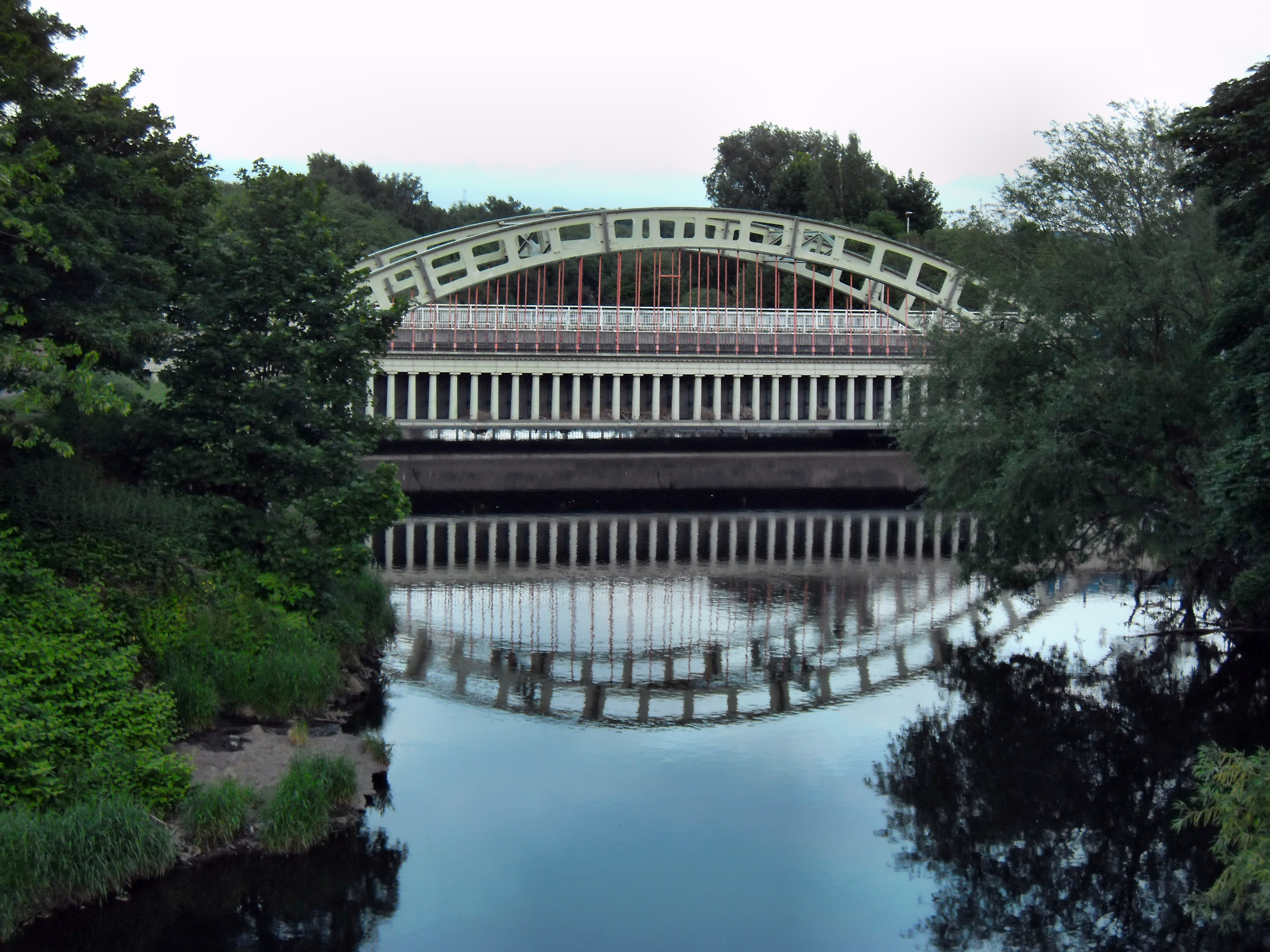
Stanley Ferry Aqueduct
Stanley Ferry Aqueduct was built between 1836 and 1839 to take the Aire and Calder Navigation over the River Calder in West Yorkshire, England. It is one...

Newland with Woodhouse Moor
Newland with Woodhouse Moor is a civil parish in the City of Wakefield in West Yorkshire, England, consisting of some open countryside west of Normanton...

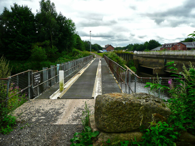
Kirkthorpe Hydro
Kirkthorpe hydro is a hydroelectric generating plant located on the River Calder at Kirkthorpe Weir, 4 miles (6.4 km) east of the City of Wakefield in...
Kirkthorpe
Kirkthorpe is a village within the City of Wakefield metropolitan borough of West Yorkshire, England. It lies 3 miles (4.8 km) east of the city centre...
Nearby Amenities
Located within 500m of 53.701927,-1.4536769Have you been to Birkwood Plantation?
Leave your review of Birkwood Plantation below (or comments, questions and feedback).