King's Wood
Wood, Forest in Derbyshire Chesterfield
England
King's Wood

King's Wood is a picturesque forest located in the county of Derbyshire, England. Spanning over 1,000 acres, it is one of the largest woodland areas in the region. The wood is situated near the village of Ravenshead, approximately 15 miles north of Derby city center.
King's Wood is known for its diverse range of tree species, including oak, beech, and birch, creating a rich and vibrant landscape throughout the seasons. The forest floor is adorned with a carpet of bluebells in the spring, creating a stunning display of color and fragrance.
The wood offers a haven for wildlife, providing a habitat for a variety of species. Visitors may spot deer, rabbits, and a wide array of birdlife, making it a popular spot among nature enthusiasts and birdwatchers. The forest is also home to a number of walking trails, allowing visitors to explore its beauty at their own pace.
In addition to its natural beauty, King's Wood also holds historical significance. The name itself suggests a connection to royalty, and it is believed that the wood once belonged to the kings of Mercia during the Anglo-Saxon period. The forest has witnessed centuries of change and is steeped in local folklore and legends.
Overall, King's Wood in Derbyshire offers a tranquil retreat for those seeking natural beauty, wildlife encounters, and a glimpse into the region's rich history.
If you have any feedback on the listing, please let us know in the comments section below.
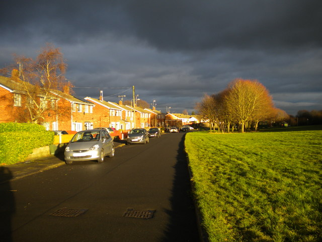
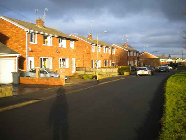
King's Wood Images
Images are sourced within 2km of 53.270169/-1.4611882 or Grid Reference SK3674. Thanks to Geograph Open Source API. All images are credited.


King's Wood is located at Grid Ref: SK3674 (Lat: 53.270169, Lng: -1.4611882)
Administrative County: Derbyshire
District: Chesterfield
Police Authority: Derbyshire
What 3 Words
///converter.nobody.blurs. Near Dronfield, Derbyshire
Nearby Locations
Related Wikis
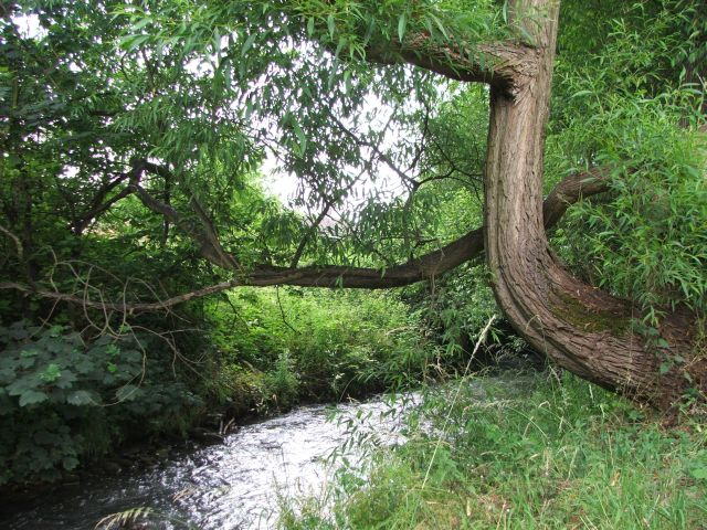
River Drone
The River Drone is a river which flows south from its source on the Sheffield, South Yorkshire, border. It flows through Dronfield, Unstone and Unstone...

Peak FM (North Derbyshire)
Peak FM was an Independent Local Radio station serving north Derbyshire. The station was folded into Greatest Hits Radio Yorkshire, as part of a rebrand...

Barlow, Derbyshire
Barlow is a village and civil parish in the North East Derbyshire district of Derbyshire, England. According to the 2001 census the parish had a population...
Broomhouse Tunnel
Broomhouse Tunnel was on the Midland Main Line between Chesterfield and Sheffield. It was built by the Midland Railway in 1870 on what is known to railwaymen...
Nearby Amenities
Located within 500m of 53.270169,-1.4611882Have you been to King's Wood?
Leave your review of King's Wood below (or comments, questions and feedback).