Staindale Plantations
Wood, Forest in Yorkshire Hambleton
England
Staindale Plantations
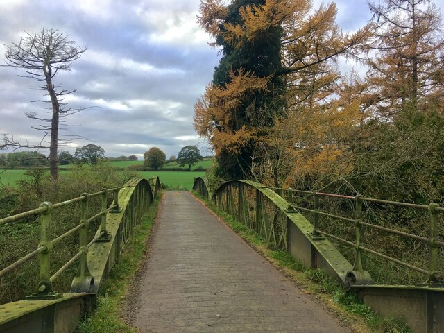
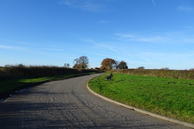
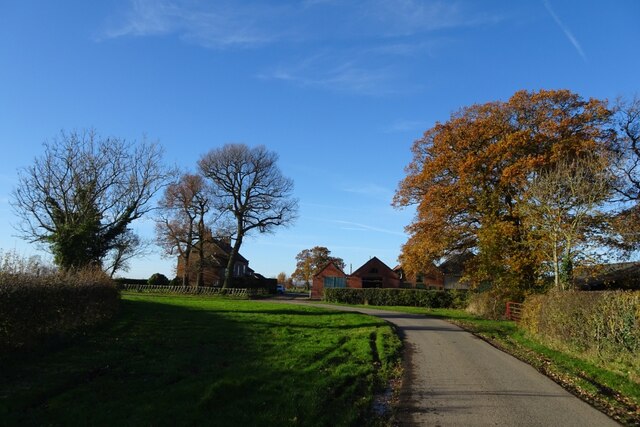
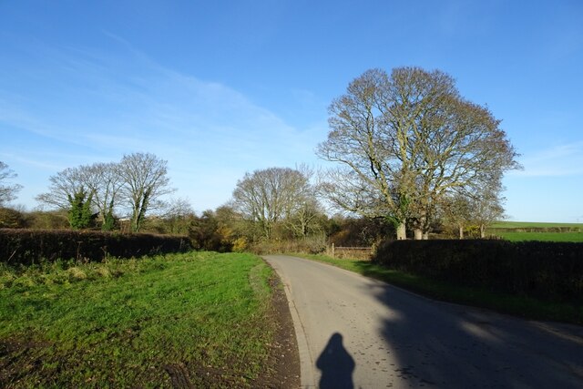
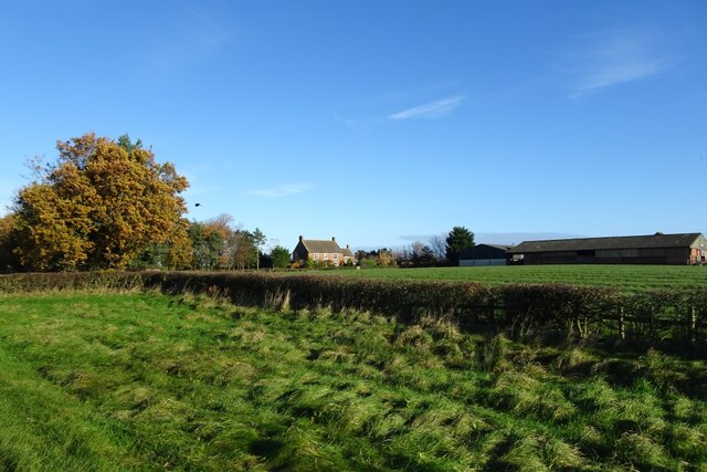
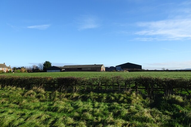
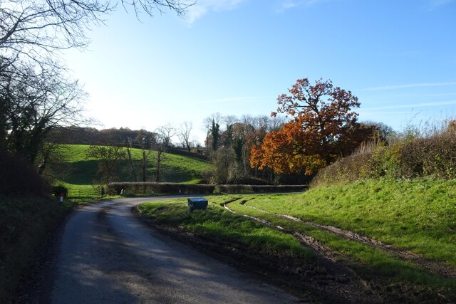
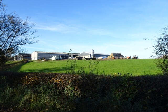
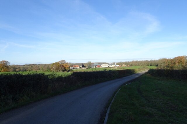
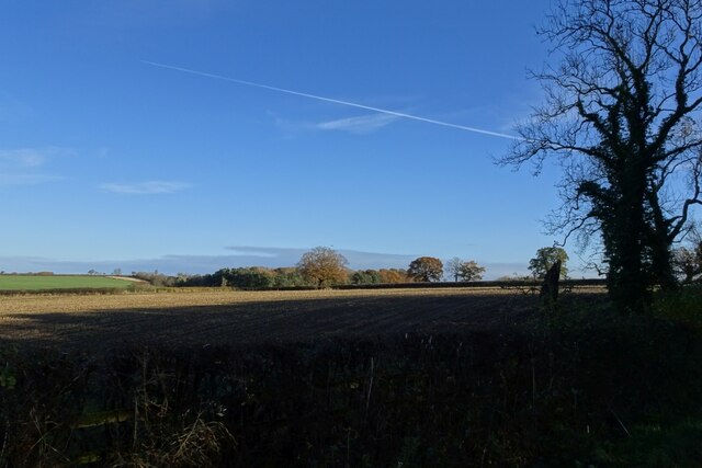
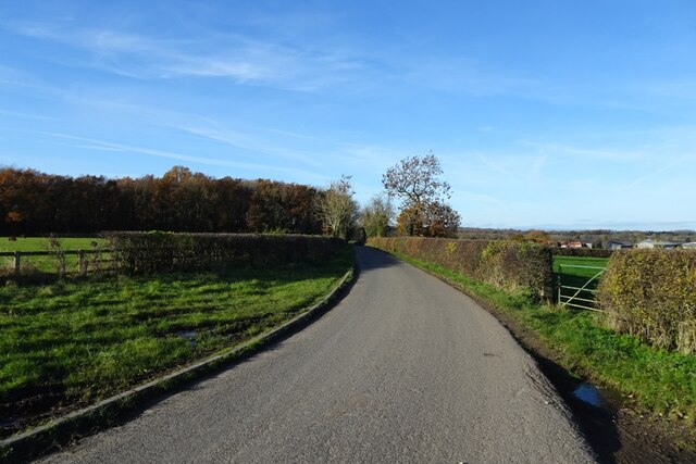
Staindale Plantations is a picturesque woodland located in the county of Yorkshire, England. Situated near the village of Harwood Dale, this enchanting forest covers an area of approximately 400 acres, making it a significant natural asset in the region. The plantation is part of the wider North York Moors National Park, renowned for its outstanding natural beauty and diverse wildlife.
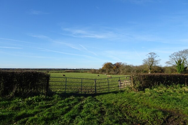
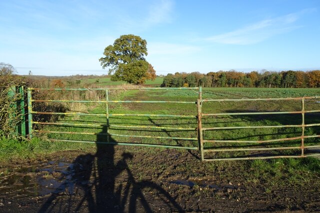
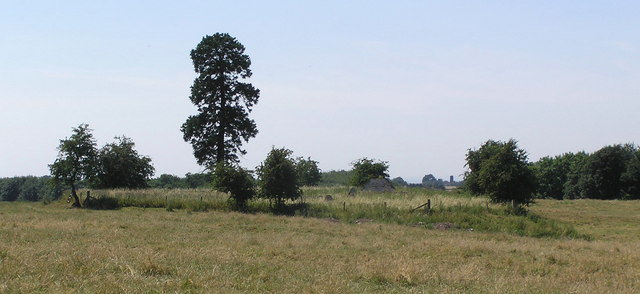
Staindale Plantations is predominantly composed of native broadleaf trees, including oak, birch, and beech. These majestic trees create a dense canopy, providing a haven for a variety of woodland creatures such as deer, badgers, and a multitude of bird species. The forest floor is adorned with a rich carpet of wildflowers during the spring and summer months, further enhancing its charm.
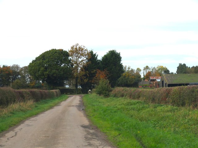
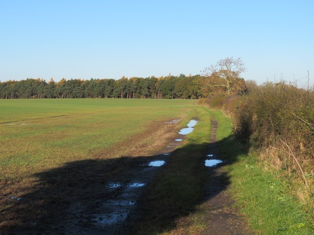
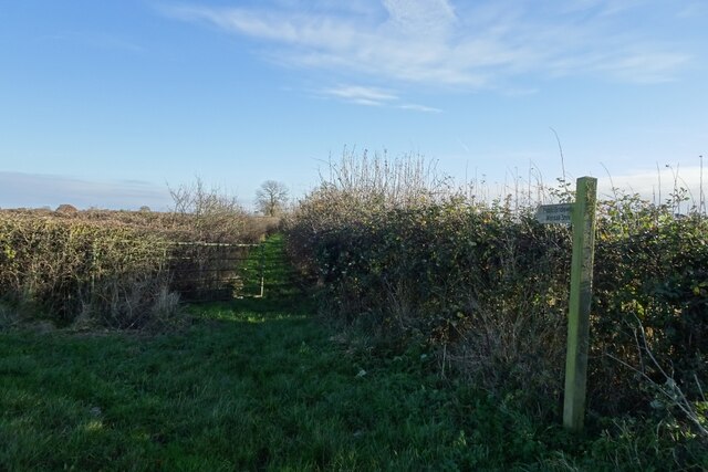
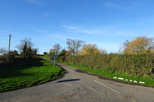
The plantation is crisscrossed by a network of well-maintained footpaths and trails, allowing visitors to explore its beauty at their leisure. These paths offer opportunities for leisurely walks, jogging, or cycling, attracting both locals and tourists alike. The enchanting atmosphere and tranquillity of Staindale Plantations make it a popular destination for nature lovers, photographers, and those seeking a peaceful retreat from the bustling urban life.
The forest is also home to a variety of recreational activities. Picnic areas are scattered throughout the plantation, providing a pleasant spot for visitors to relax and enjoy the natural surroundings. Additionally, Staindale Plantations offers several designated areas for camping, allowing visitors to extend their stay and immerse themselves fully in the woodland experience.
In conclusion, Staindale Plantations stands as a captivating woodland in Yorkshire, offering a diverse range of flora and fauna, well-maintained trails, and recreational activities. Its natural beauty and peaceful ambiance make it a cherished destination for those seeking solace in nature.
If you have any feedback on the listing, please let us know in the comments section below.
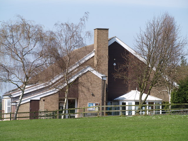
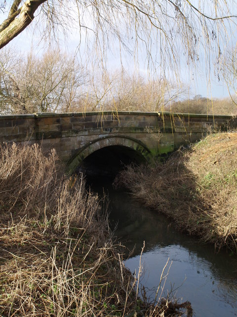
Staindale Plantations Images
Images are sourced within 2km of 54.458441/-1.4469718 or Grid Reference NZ3507. Thanks to Geograph Open Source API. All images are credited.

Staindale Plantations is located at Grid Ref: NZ3507 (Lat: 54.458441, Lng: -1.4469718)
Division: North Riding
Administrative County: North Yorkshire
District: Hambleton
Police Authority: North Yorkshire
What 3 Words
///forces.tacky.lavished. Near Hurworth, Co. Durham
Nearby Locations
Related Wikis
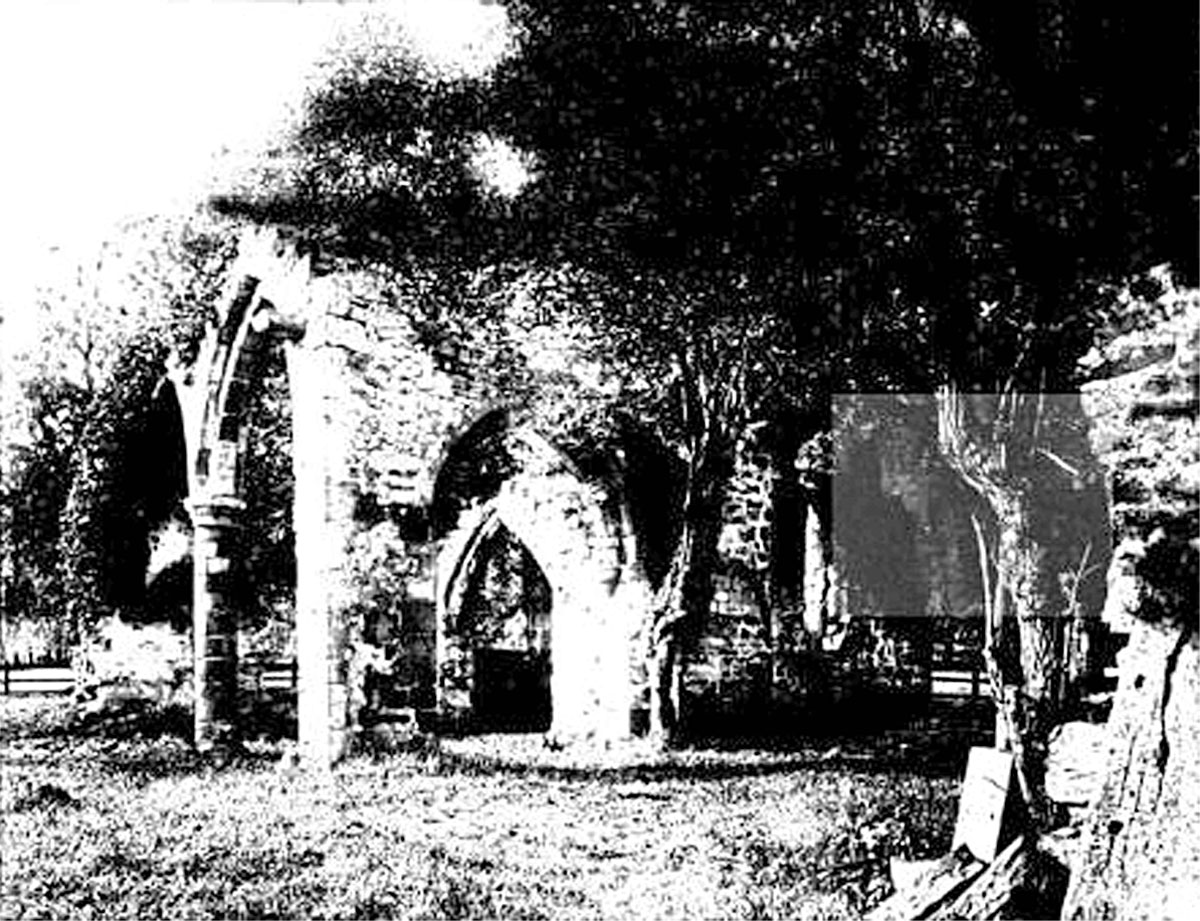
All Saints Church, Sockburn
All Saints Church is a ruined Church of England parish church in Sockburn, County Durham, England. A Grade I listed building, the church has pre- and post...

Sockburn Hall
Sockburn Hall is a privately owned 19th-century country house at Sockburn, near Darlington, County Durham, England. It is a Grade II* listed building....

Sockburn
Sockburn is a village and former civil parish, now in the parish of Neasham, in the Darlington district, in the ceremonial county of Durham, England. It...
Girsby
Girsby is a village and civil parish in the former Hambleton District of North Yorkshire, England. The village lies on high ground on the eastern bank...
Hornby, Hambleton
Hornby is a village and civil parish in the Hambleton district of North Yorkshire, England. It lies on a minor road between Great Smeaton and Appleton...
Great Smeaton
Great Smeaton is a village and civil parish in North Yorkshire, England. It lies on elevated ground near the River Wiske, which is a tributary of the River...
High Worsall
High Worsall is a hamlet and civil parish in North Yorkshire, England. It is near Low Worsall and 4 miles (6.4 km) west of Yarm. The population of the...
Little Smeaton, Hambleton
Little Smeaton is a hamlet and civil parish in North Yorkshire, England. == Etymology == The name of Little Smeaton is first attested in the Domesday Book...
Nearby Amenities
Located within 500m of 54.458441,-1.4469718Have you been to Staindale Plantations?
Leave your review of Staindale Plantations below (or comments, questions and feedback).