Poker's Leys
Wood, Forest in Derbyshire South Derbyshire
England
Poker's Leys
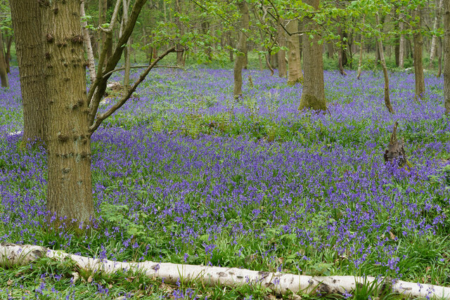
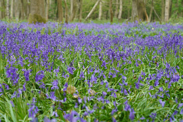
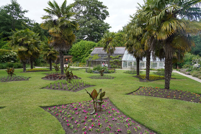
Poker's Leys is a picturesque woodland area located in Derbyshire, England. Spanning over a vast area of undulating terrain, this enchanting forest is renowned for its natural beauty and diverse flora and fauna. Situated near the village of Poker's Leys, the woodland is a popular destination for nature lovers, hikers, and photographers.
The forest is predominantly composed of ancient oak trees, which provide a stunning canopy of greenery that filters sunlight to create a magical ambiance. The woodland floor is covered with a rich carpet of moss, ferns, and wildflowers, adding to its ethereal charm. The variety of tree species found in Poker's Leys includes beech, birch, and hazel, each contributing to the vibrant tapestry of colors during different seasons.
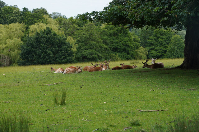
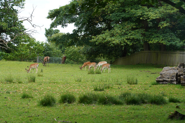
The forest is home to a plethora of wildlife, making it a haven for nature enthusiasts. Visitors might catch a glimpse of deer gracefully grazing among the trees or hear the melodic songs of various bird species, including woodpeckers and owls. Rare and endangered species such as dormice and bats also find sanctuary in the woodland.
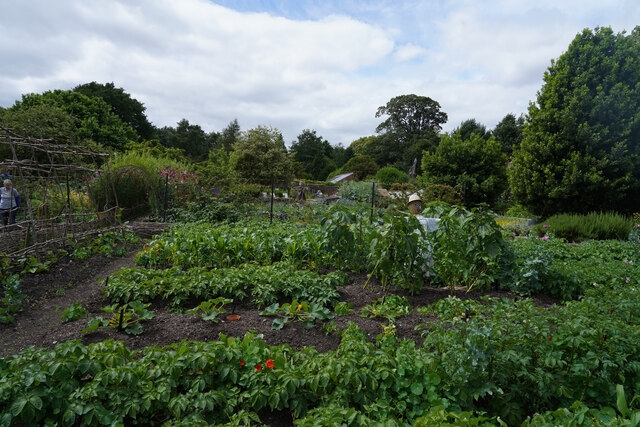
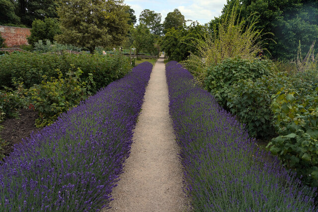
Poker's Leys offers an extensive network of well-maintained walking trails, allowing visitors to explore its beauty at their own pace. These trails wind through the forest, providing breathtaking views of the surrounding countryside and opportunities to spot wildlife. The tranquility and serenity of the woodland make it an ideal destination for those seeking a peaceful retreat or a place to connect with nature.
In summary, Poker's Leys in Derbyshire is a captivating woodland area that showcases the natural splendor of the region. With its ancient trees, vibrant flora, and diverse wildlife, it offers a serene and enchanting escape for nature lovers and outdoor enthusiasts alike.
If you have any feedback on the listing, please let us know in the comments section below.
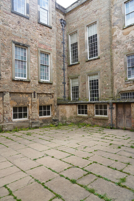
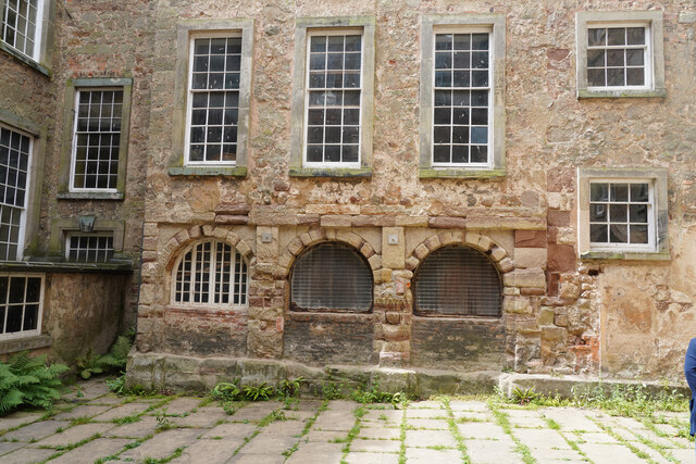
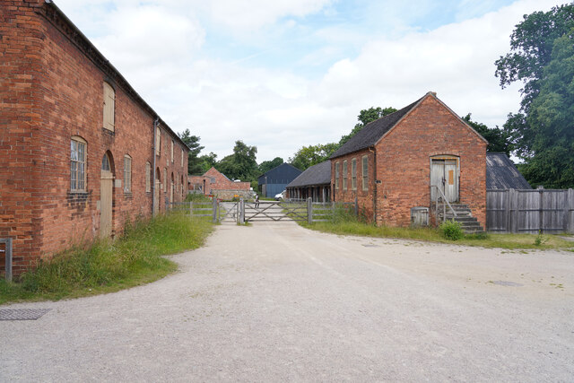
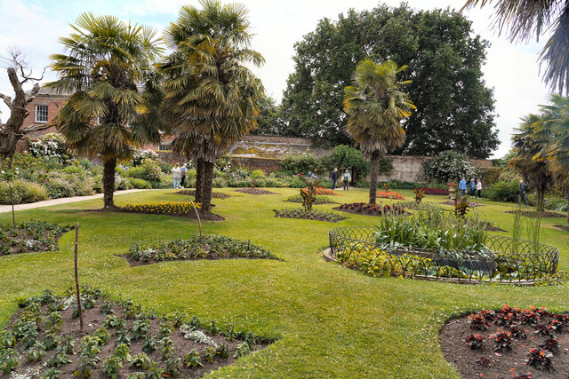
Poker's Leys Images
Images are sourced within 2km of 52.799247/-1.4703312 or Grid Reference SK3522. Thanks to Geograph Open Source API. All images are credited.


Poker's Leys is located at Grid Ref: SK3522 (Lat: 52.799247, Lng: -1.4703312)
Administrative County: Derbyshire
District: South Derbyshire
Police Authority: Derbyshire
What 3 Words
///grapevine.online.earmarked. Near Melbourne, Derbyshire
Nearby Locations
Related Wikis

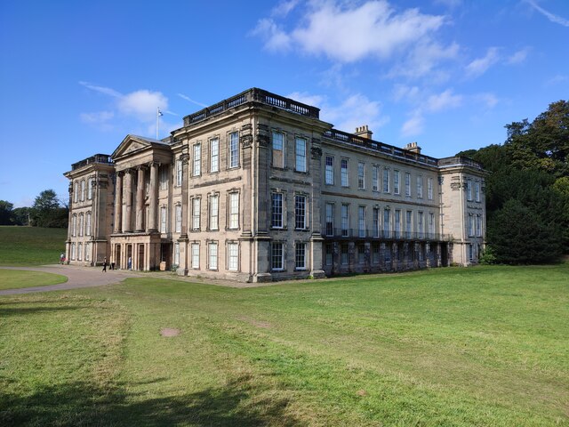
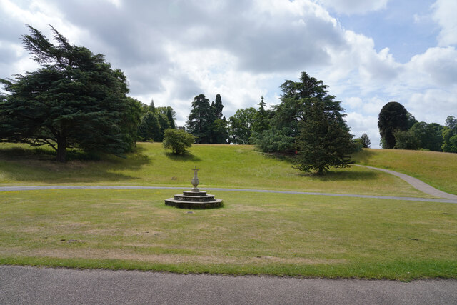
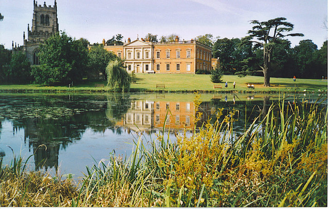
Calke Abbey
Calke Abbey is a Grade I listed country house near Ticknall, Derbyshire, England, in the care of the charitable National Trust. The site was an Augustinian...

Ticknall Tramway
The Ticknall Tramway was a 12.8 mi (20.6 km) long 4 ft 2 in (1,270 mm) gauge horse-drawn plateway terminating at Ticknall, Derbyshire, England. It operated...
Calke
Calke is a small village and civil parish in the South Derbyshire district of Derbyshire, England. It includes the historic house Calke Abbey, a National...

Ticknall
Ticknall is a small village and civil parish in South Derbyshire, England. The population of the civil parish (including Calke) at the 2011 Census was...

St George's Church, Ticknall
St George's Church, Ticknall is a Grade II listed parish church in the Church of England in Ticknall, Derbyshire. == History == The church was built in...

Dimminsdale
Dimminsdale is a 37 hectare geological biological and Site of Special Scientific Interest partly in Derbyshire and partly in Leicestershire. It is located...

Staunton Harold Reservoir
Staunton Harold Reservoir is a large reservoir under the management of Severn Trent Water, located between Melbourne and Ticknall in Derbyshire, England...
Staunton Harold
Staunton Harold is a civil parish in North West Leicestershire about 3 miles (5 km) north of Ashby-de-la-Zouch. The parish is on the county boundary with...
Nearby Amenities
Located within 500m of 52.799247,-1.4703312Have you been to Poker's Leys?
Leave your review of Poker's Leys below (or comments, questions and feedback).