Balsdon Copse

Wood, Forest in Berkshire

England

Balsdon Copse

Country lane, Inkpen, Berkshire
Country lane, Inkpen, Berkshire Credit: Oswald Bertram

Balsdon Copse is a picturesque woodland located in the county of Berkshire, England. Spread across an area of approximately 100 acres, the copse is a haven for nature enthusiasts and those seeking tranquility in the midst of the bustling surroundings.

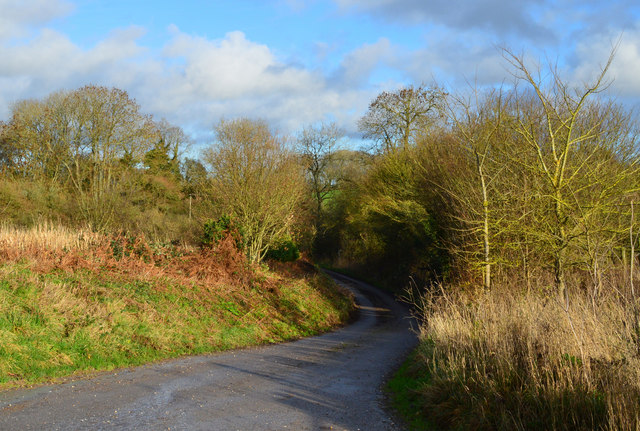
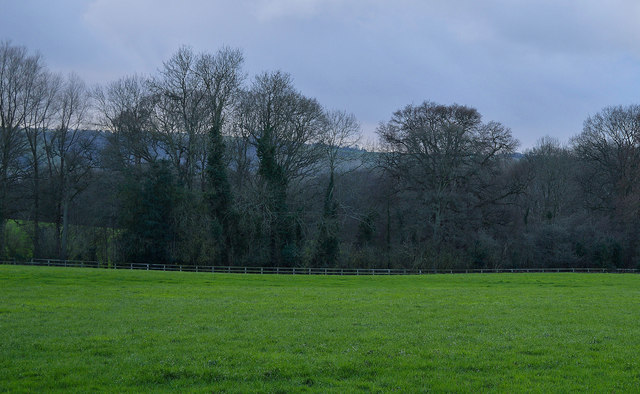
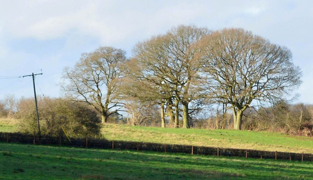
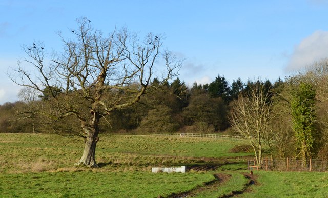
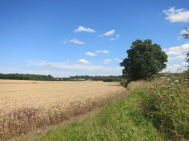
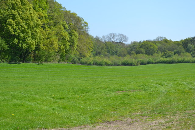
The copse is predominantly composed of broad-leaved trees, including oak, beech, and birch, which create a dense canopy overhead, providing shade and shelter for a variety of wildlife. The forest floor is adorned with vibrant displays of bluebells during the spring, creating a breathtaking scene for visitors.

Balsdon Copse is home to a diverse range of flora and fauna, making it an important ecological site. The copse provides a habitat for numerous bird species, such as woodpeckers, tits, and warblers. It is also known to attract a variety of mammals, including deer, foxes, and badgers.

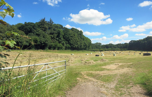
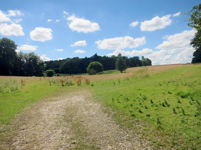
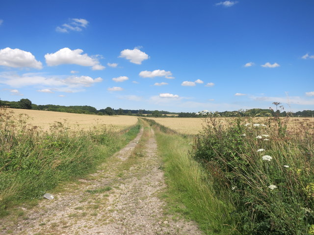
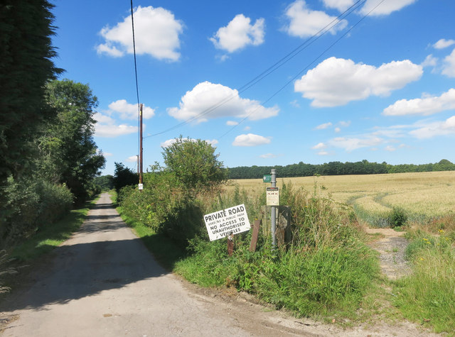
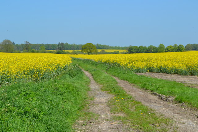
The copse is intersected by a network of footpaths and trails, allowing visitors to explore its natural beauty at their own pace. These paths meander through the woodland, leading to open clearings and secluded spots, perfect for picnics or simply appreciating the serenity of the surroundings.

The copse is managed by the local authorities, who ensure the preservation of its natural integrity. Visitors are advised to follow the designated trails and adhere to any guidelines provided to minimize disturbance to the delicate ecosystem.

Balsdon Copse offers a peaceful retreat from the pressures of everyday life, inviting visitors to immerse themselves in the beauty of nature and experience the tranquility that the Berkshire woodland has to offer.

If you have any feedback on the listing, please let us know in the comments section below.

Balsdon Copse Images

Images are sourced within 2km of 51.38664/-1.4872663 or Grid Reference SU3565. Thanks to Geograph Open Source API. All images are credited.

Country lane, Inkpen, Berkshire
Country lane, Kintbury, Berkshire
Before the rain, Inkpen, Berkshire
Farmland, Inkpen, Berkshire
Farmland, Cold Harbour, Berkshire
Farmland, Inkpen, Berkshire
Footpath, Templeton, Berkshire
This Way for the Sausages Entrance to a farm shop, specialising in pork products by the look of it.
This Way for the Sausages
Entrance to a farm shop, specialising in pork products by the look of it.
Field and Hedge beside Inkpen Road Inkpen Road, which crosses this square, is shown on the map as part of a national cycle route. It's  a  pleasant ride with hardly any traffic, passing mainly grain fields and a bit of woodland, with the occasional horse as you get near Kintbury.
Field and Hedge beside Inkpen Road
Inkpen Road, which crosses this square, is shown on the map as part of a national cycle route. It's a pleasant ride with hardly any traffic, passing mainly grain fields and a bit of woodland, with the occasional horse as you get near Kintbury.
Hay Cutting in the Valley Freshly cut hay near the gate, with baled up stuff further in. A long hay meadow in a shallow dry valley surrounded by woodland on three sides.
Hay Cutting in the Valley
Freshly cut hay near the gate, with baled up stuff further in. A long hay meadow in a shallow dry valley surrounded by woodland on three sides.
Towards Totterdown Copse Totterdown Copse in the distance with rather marginal looking grazing land in front.
Towards Totterdown Copse
Totterdown Copse in the distance with rather marginal looking grazing land in front.
Track to Little Templeton Access to a property in the trees on the left.
Track to Little Templeton
Access to a property in the trees on the left.
Fields and Woods near Templeton A view from where a footpath meets the road.
Fields and Woods near Templeton
A view from where a footpath meets the road.
Farmland near Kintbury
Round copse in a field Could be concealing a Pit (dis)?
Round copse in a field
Could be concealing a Pit (dis)?
Private road used as a public path
Track through oilseed rape field beside Inkpen Road
Field beside New Templeton Gorse
Show me another place!

Balsdon Copse is located at Grid Ref: SU3565 (Lat: 51.38664, Lng: -1.4872663)

Unitary Authority: West Berkshire

Police Authority: Thames Valley

What 3 Words

///happening.pocket.baseballs. Near Kintbury, Berkshire

Related Wikis

Inkpen

Inkpen is a village and civil parish in West Berkshire, 3.5 miles (5.6 km) southeast of Hungerford, most of the land of which is cultivated fields with...

Anvilles

Anvilles is a hamlet in the English county of Berkshire, and within the civil parish of Inkpen (formerly in Kintbury). == See also == Civil parishes in...

Catmore and Winterly Copses

Catmore and Winterly Copses is a 25-hectare (62-acre) biological Site of Special Scientific Interest north-west of Kintbury in Berkshire.The woods are...

Inkpen Crocus Field

Inkpen Crocus Fields is a 3.1-hectare (7.7-acre) biological Site of Special Scientific Interest near Inkpen in Berkshire. It is managed by the Berkshire...

Nearby Amenities

Located within 500m of 51.38664,-1.4872663
Barrier: stile
Foot: yes
Lat/Long: 51.3830983/-1.4828873
Barrier: stile
Foot: yes
Lat/Long: 51.384397/-1.482764
Post Box
Post Box Type: lamp
Ref: RG17 156
Royal Cypher: EIIR
Royal Cypher Wikidata: Q33102113
Lat/Long: 51.3834512/-1.4919573
Power: pole
Lat/Long: 51.3882966/-1.4805903
Power: pole
Lat/Long: 51.3872443/-1.4809507
Power: pole
Lat/Long: 51.3853511/-1.482371
The data included in this document is from www.openstreetmap.org. The data is made available under ODbL.

Have you been to Balsdon Copse?

Leave your review of Balsdon Copse below (or comments, questions and feedback).