Woodclose Border
Wood, Forest in Berkshire
England
Woodclose Border
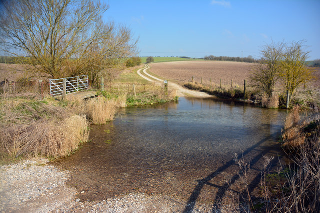
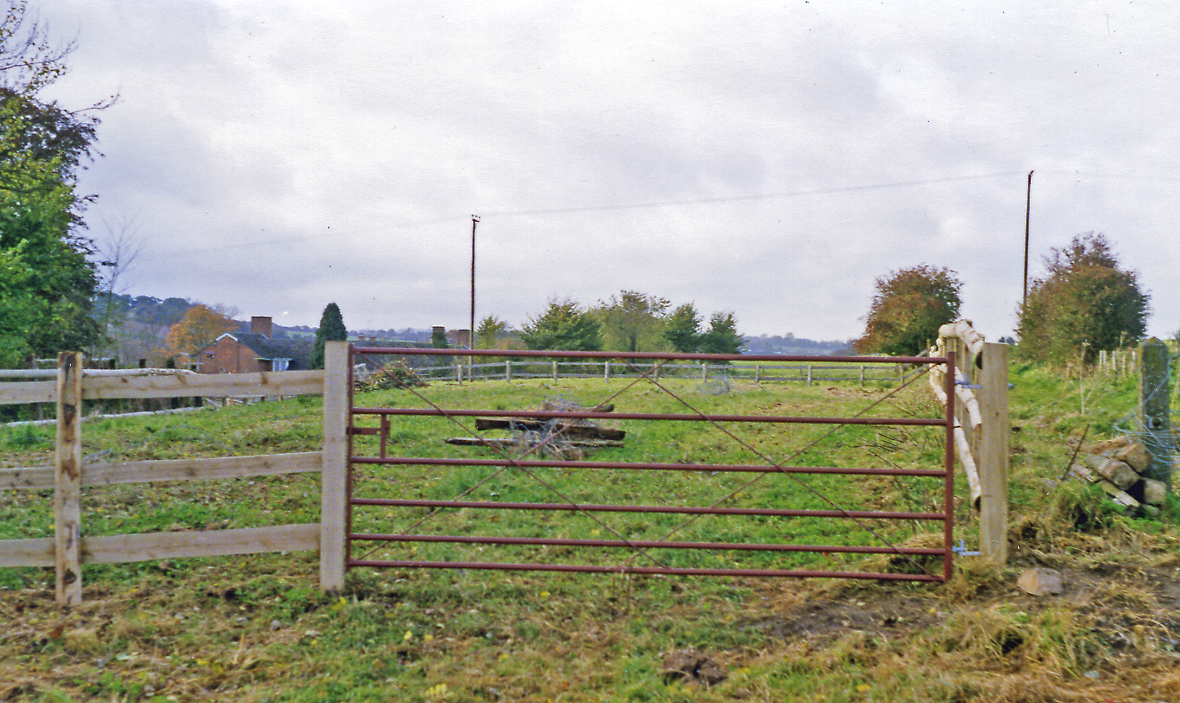
Woodclose Border is a small forested area located in the county of Berkshire, England. Situated near the town of Woodclose, the border is known for its picturesque woodland scenery and diverse flora and fauna. Spanning an area of approximately 100 acres, this forest is a popular spot for nature enthusiasts, hikers, and photographers.
The forest consists primarily of deciduous trees, including oak, beech, and birch, which provide a stunning display of colors during the autumn months. The tree canopy creates a shaded and cool environment, making it a perfect retreat during the hot summer days. The forest floor is covered with a thick layer of fallen leaves and moss, creating a soft and natural carpet.
Woodclose Border is home to a wide variety of wildlife, including deer, foxes, squirrels, and a myriad of bird species. Birdwatchers flock to the area to catch a glimpse of species such as woodpeckers, owls, and various songbirds. The forest also supports a rich ecosystem of insects, butterflies, and other small creatures.
Several well-maintained walking trails crisscross through the forest, allowing visitors to explore its beauty at their own pace. These trails vary in length and difficulty, catering to both casual strollers and seasoned hikers. Along the way, visitors can enjoy panoramic views of the surrounding countryside, including rolling hills and meandering rivers.
Woodclose Border offers a peaceful and tranquil escape from the hustle and bustle of everyday life. Its natural beauty and serene atmosphere make it a cherished destination for locals and tourists alike.
If you have any feedback on the listing, please let us know in the comments section below.
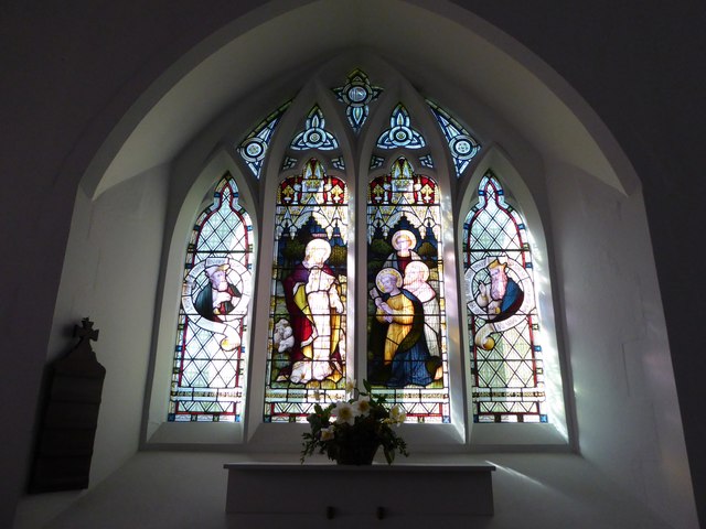
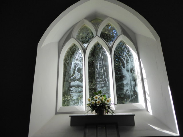
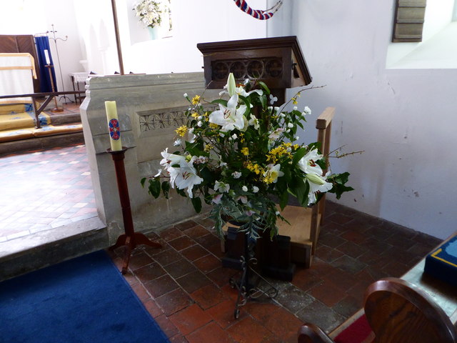
Woodclose Border Images
Images are sourced within 2km of 51.478196/-1.490028 or Grid Reference SU3575. Thanks to Geograph Open Source API. All images are credited.


Woodclose Border is located at Grid Ref: SU3575 (Lat: 51.478196, Lng: -1.490028)
Unitary Authority: West Berkshire
Police Authority: Thames Valley
What 3 Words
///zoomed.regulates.harder. Near Lambourn, Berkshire
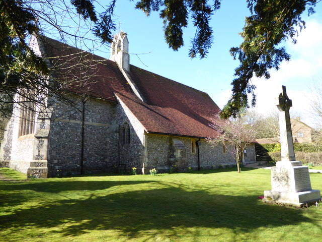
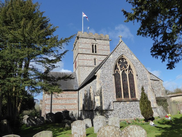
Related Wikis

Westfield Farm Chalk Bank
Westfield Farm Chalk Bank is a 14.1-hectare (35-acre) biological Site of Special Scientific Interest west of East Garston in Berkshire. == Geography... ==

East Garston
East Garston is a village and civil parish on the River Lambourn, about 5.5 miles (8.9 km) north of Hungerford in West Berkshire. The river flows through...

East Garston railway station
East Garston railway station was a railway station in East Garston, Berkshire, UK, on the Lambourn Valley Railway. == History == The station opened on...

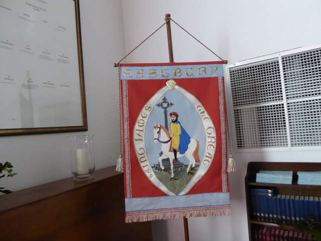
Eastbury, Berkshire
Eastbury is a village in the valley of the River Lambourn in the English county of Berkshire. The village is situated on the old river level road from...

Woodlands St Mary
Woodlands St Mary is a small village in the English county of Berkshire. The village is situated in the civil parish of Lambourn, and is 3 miles (4.8 km...
Eastbury Halt railway station
Eastbury Halt railway station was a railway station in Eastbury, Berkshire, UK, on the Lambourn Valley Railway. == History == The station opened on 4 April...

St Mary's Church, Lambourn Woodlands
St Mary's Church is a redundant Anglican church in the hamlet of Lambourn Woodlands in the English county of Berkshire. It is recorded in the National...

1991 M4 motorway crash
On 13 March 1991, a multiple-vehicle collision occurred during foggy conditions on the eastbound carriageway of the M4 motorway near Hungerford, Berkshire...
Have you been to Woodclose Border?
Leave your review of Woodclose Border below (or comments, questions and feedback).