Waverley Wood

Wood, Forest in Warwickshire Warwick

England

Waverley Wood

HS2 enabling works near Cubbington, September 2021 (6) This is the line of the haul road parallel to the railway, which will be in a cutting across the land to the right: lots of earth to be moved! The view is northwest from footpath W130b; locations are estimated.
HS2 enabling works near Cubbington, September 2021 (6) Credit: Robin Stott

Waverley Wood, located in Warwickshire, England, is a picturesque forest spanning approximately 30 acres of land. Nestled in the heart of the county, this woodland is renowned for its natural beauty and tranquility, making it a popular destination for outdoor enthusiasts and nature lovers alike.

The forest is predominantly composed of a variety of deciduous trees, including oaks, beeches, and birches, which create a vibrant and ever-changing landscape throughout the seasons. The dense canopy formed by these trees provides a sheltered habitat for a diverse range of wildlife, from small mammals such as squirrels and rabbits to a variety of bird species.

Waverley Wood offers visitors a network of well-maintained walking trails, allowing them to explore the forest at their own pace. These trails wind through the wood, offering glimpses of enchanting clearings, babbling brooks, and moss-covered rocks. Along the way, visitors may also stumble upon a number of ancient ruins, adding a touch of historical intrigue to the natural beauty of the area.

The forest is a haven for flora, with a rich tapestry of wildflowers, ferns, and fungi dotting the forest floor. In spring, bluebells carpet the ground, creating a stunning display of vibrant colors. Autumn brings a riot of reds, oranges, and yellows as the leaves change, making Waverley Wood a popular destination for leaf peepers.

Whether it be for a leisurely stroll, birdwatching, or simply a peaceful escape from the hustle and bustle of everyday life, Waverley Wood offers a serene and captivating experience for all who visit.

If you have any feedback on the listing, please let us know in the comments section below.

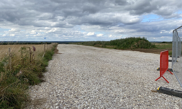
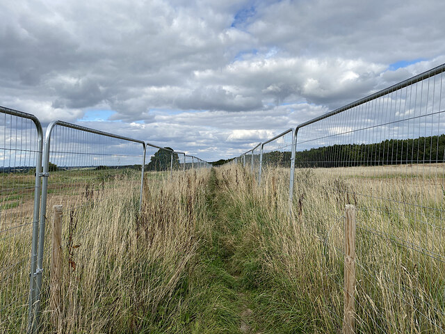
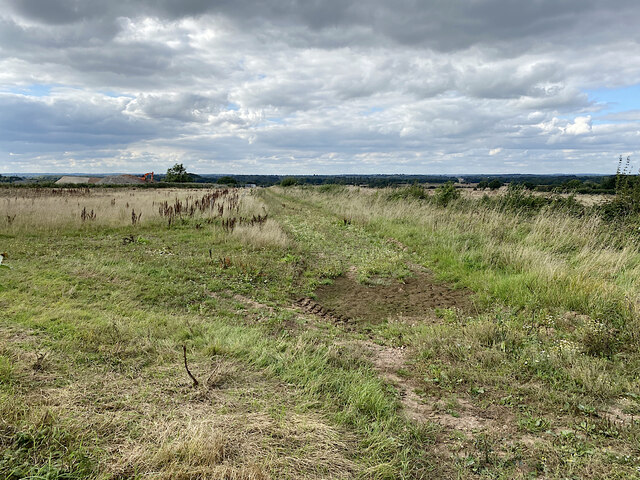
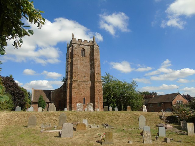
Waverley Wood Images

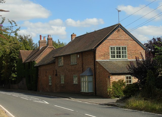
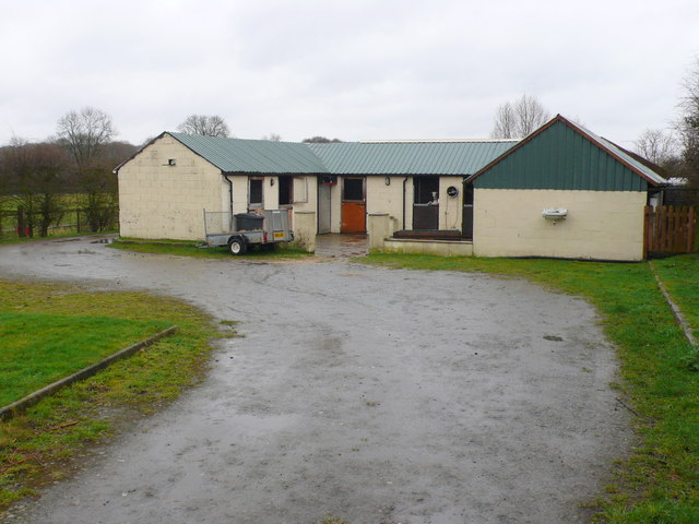
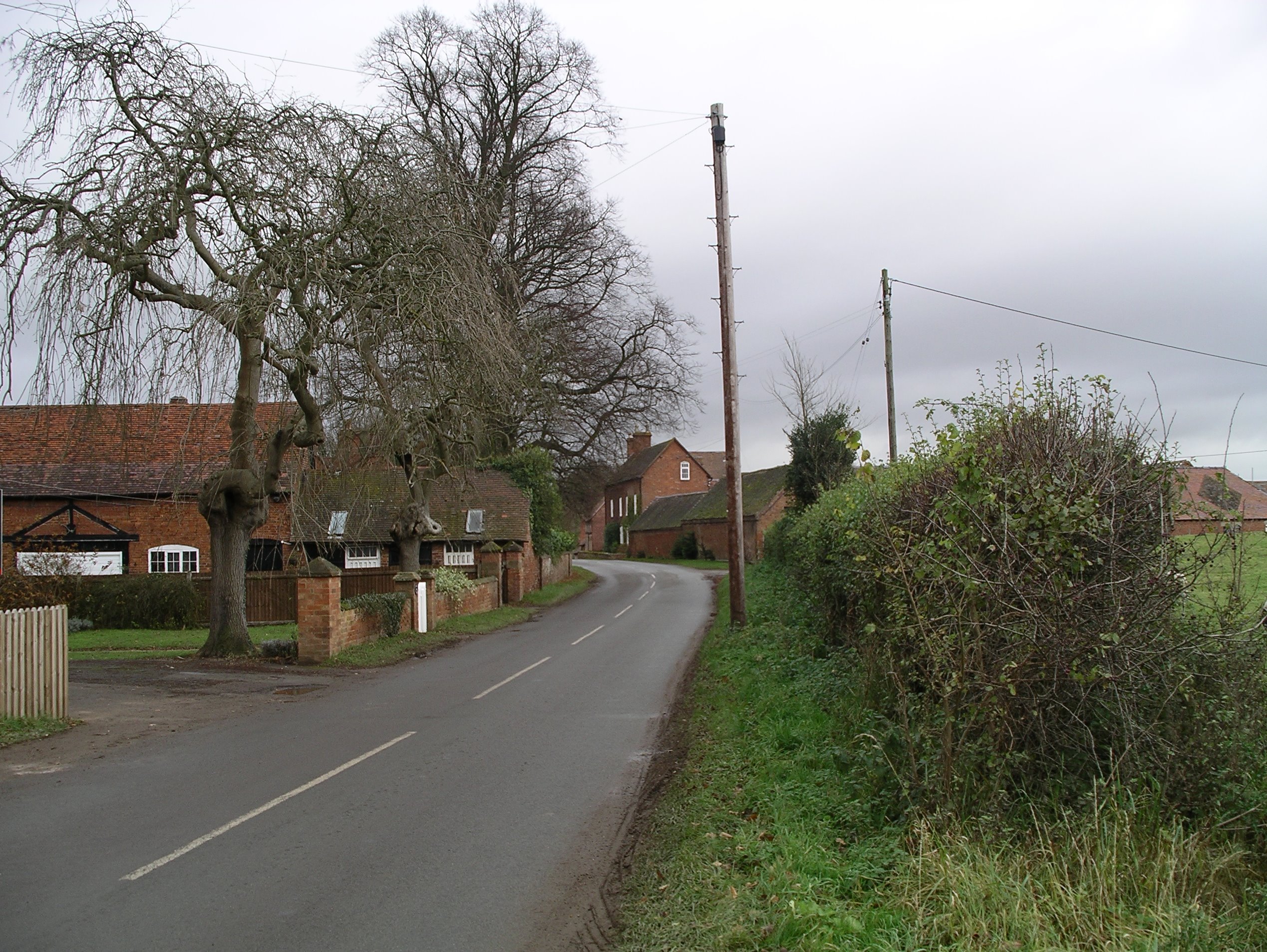
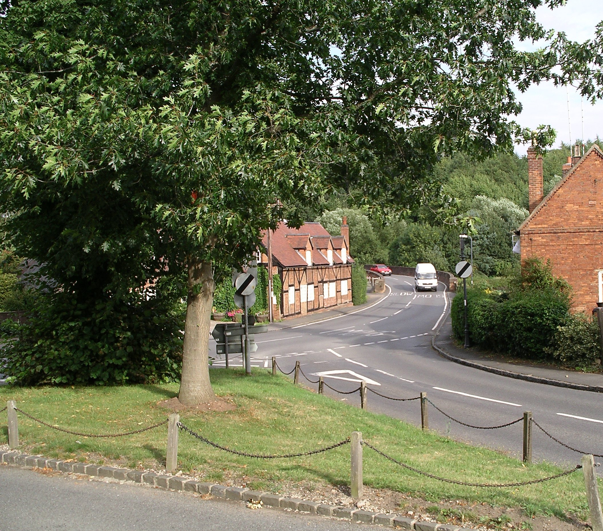
Images are sourced within 2km of 52.336267/-1.480867 or Grid Reference SP3571. Thanks to Geograph Open Source API. All images are credited.

HS2 enabling works near Cubbington, September 2021 (6) This is the line of the haul road parallel to the railway, which will be in a cutting across the land to the right: lots of earth to be moved! The view is northwest from footpath W130b; locations are estimated.
HS2 enabling works near Cubbington, September 2021 (6)
This is the line of the haul road parallel to the railway, which will be in a cutting across the land to the right: lots of earth to be moved! The view is northwest from footpath W130b; locations are estimated.
HS2 enabling works near Cubbington, September 2021 (8) Footpath W130b is confined by fences across the area of forthcoming HS2 construction; at some point it will be closed and diverted. On the left is North Cubbington Wood, which will be untouched by the railway. Locations are estimated.
HS2 enabling works near Cubbington, September 2021 (8)
Footpath W130b is confined by fences across the area of forthcoming HS2 construction; at some point it will be closed and diverted. On the left is North Cubbington Wood, which will be untouched by the railway. Locations are estimated.
HS2 enabling works near Cubbington, September 2021 (10) This land has been fenced and left uncultivated. Somewhere in the middle distance HS2 will be in a cutting heading somewhat to the right. On the left here a solitary machine is moving earth near the Coventry Road out of Cubbington, which will be diverted to cross the railway by an overbridge. Locations are estimated. Tanner's Barn near here, shown on the 1:25 k map, appears to have been demolished in the past. <span class="nowrap"><a title="https://assets.publishing.service.gov.uk/government/uploads/system/uploads/attachment_data/file/532882/C223-CSI-CV-DPP-030-000004-FPD.pdf" rel="nofollow ugc noopener" href="https://assets.publishing.service.gov.uk/government/uploads/system/uploads/attachment_data/file/532882/C223-CSI-CV-DPP-030-000004-FPD.pdf">Link</a><img style="margin-left:2px;" alt="External link" title="External link - shift click to open in new window" src="https://s1.geograph.org.uk/img/external.png" width="10" height="10"/></span>
HS2 enabling works near Cubbington, September 2021 (10)
This land has been fenced and left uncultivated. Somewhere in the middle distance HS2 will be in a cutting heading somewhat to the right. On the left here a solitary machine is moving earth near the Coventry Road out of Cubbington, which will be diverted to cross the railway by an overbridge. Locations are estimated. Tanner's Barn near here, shown on the 1:25 k map, appears to have been demolished in the past. LinkExternal link
HS2 enabling works near Cubbington, September 2021 (11) The view is south along Coventry Road towards Cubbington: a racetrack. HS2 will come out of the skyline left of centre and cross roughly where the solitary digger is working. Coventry Road will be diverted on to an overbridge, landing somewhere here judging by the fencing, left. Note the tree stump. Locations are estimated
HS2 enabling works near Cubbington, September 2021 (11)
The view is south along Coventry Road towards Cubbington: a racetrack. HS2 will come out of the skyline left of centre and cross roughly where the solitary digger is working. Coventry Road will be diverted on to an overbridge, landing somewhere here judging by the fencing, left. Note the tree stump. Locations are estimated
HS2 enabling works near Cubbington, September 2021 (12) The fencing and land left uncultivated are the clues. HS2 will come through here on its way to Stoneleigh Business Park. The view is from Coventry Road north of the village. Locations are estimated.
HS2 enabling works near Cubbington, September 2021 (12)
The fencing and land left uncultivated are the clues. HS2 will come through here on its way to Stoneleigh Business Park. The view is from Coventry Road north of the village. Locations are estimated.
HS2 enabling works near Cubbington, September 2021 (13) A sign by the Coventry Road approaching the village warns of HS2 site N11 Gate 16. Materials will be brought to site and material will be taken away. A lone digger works atop a pile of earth or stone. The road will be diverted to an overbridge to cross the railway.
HS2 enabling works near Cubbington, September 2021 (13)
A sign by the Coventry Road approaching the village warns of HS2 site N11 Gate 16. Materials will be brought to site and material will be taken away. A lone digger works atop a pile of earth or stone. The road will be diverted to an overbridge to cross the railway.
HS2 enabling works near Cubbington, September 2021 (14) HS2 site N11 Gate 16 is by the Coventry Road north of the village.
HS2 enabling works near Cubbington, September 2021 (14)
HS2 site N11 Gate 16 is by the Coventry Road north of the village.
HS2 enabling works near Cubbington, September 2021 (15) A lone digger works atop a pile of earth and stone at site N11. The Coventry Road will be diverted on to an overbridge to cross the railway. Note the tree stump. Locations are estimated.
HS2 enabling works near Cubbington, September 2021 (15)
A lone digger works atop a pile of earth and stone at site N11. The Coventry Road will be diverted on to an overbridge to cross the railway. Note the tree stump. Locations are estimated.
Church of St Michael, Weston under Wetherley
Cottages by the Church, Weston under Wetherley
North Cubbington Wood as seen from Coventry Road
New House Farm
New House Farm
Cubbington Woods The B4453 road bisects the woods, making them north and south.
Cubbington Woods
The B4453 road bisects the woods, making them north and south.
Oaks Stables Although the gate of this establishment had a painted sign saying stables and showing the head of a horse, the only head that could be seen was that of a goat peering over one of the doors.
Oaks Stables
Although the gate of this establishment had a painted sign saying stables and showing the head of a horse, the only head that could be seen was that of a goat peering over one of the doors.
Wetherley Lodge This lodge house may have been connected with Weston Hall but it is on the opposite side of the B4453.It is more likely to have been a lodge for New House just to the north west.
Wetherley Lodge
This lodge house may have been connected with Weston Hall but it is on the opposite side of the B4453.It is more likely to have been a lodge for New House just to the north west.
North Cubbington Wood This is a mixed deciduous and pine woods on the north side of the B4453 just west of Weston Under Wetherly. The stubble in the foreground field appears to be from a crop of oilseed rape.
North Cubbington Wood
This is a mixed deciduous and pine woods on the north side of the B4453 just west of Weston Under Wetherly. The stubble in the foreground field appears to be from a crop of oilseed rape.
House in Weston This appeared to be a recently converted barn that stands on its own close to the centre of the village. The space around it is very open.
House in Weston
This appeared to be a recently converted barn that stands on its own close to the centre of the village. The space around it is very open.
Countryside near Furzen Hill Farm This recently ploughed field is just east of the Coventry Road north of Cubbington. The wood on the left in the distance is Waverley Wood and that on the right Weston Wood, both in SP3570.
Countryside near Furzen Hill Farm
This recently ploughed field is just east of the Coventry Road north of Cubbington. The wood on the left in the distance is Waverley Wood and that on the right Weston Wood, both in SP3570.
Show me another place!

Waverley Wood is located at Grid Ref: SP3571 (Lat: 52.336267, Lng: -1.480867)

Administrative County: Warwickshire

District: Warwick

Police Authority: Warwickshire

What 3 Words

///fight.rice.round. Near Ryton on Dunsmore, Warwickshire

Nearby Locations

Waverley Wood

Related Wikis

Bubbenhall

Bubbenhall is a village and civil parish in the Warwick district of Warwickshire, England. The village lies off the A445 road, about 5.5 miles (9 km)...

Stareton

Stareton is a small hamlet in Warwickshire, England. The population is included within Stoneleigh parish. It is situated about half a mile from Stoneleigh...

Weston under Wetherley

Weston under Wetherley, often known by locals as just Weston, is a small village and civil parish in Warwickshire, England. It is on the B4453, 4 miles...

Ryton Pools Country Park

Ryton Pools Country Park is a country park one mile (1.6 km) south west of the village of Ryton on Dunsmore in Warwickshire, England. The park occupies...

A445 road

The A445 road is a road in Warwickshire, England. It runs between the town of Warwick and the A45, also passing through the north of Leamington Spa. The...

Cubbington Pear Tree

The Cubbington Pear Tree was a wild pear tree located near Cubbington in Warwickshire, England. Around 250 years old, it was the second largest wild pear...

Wappenbury

Wappenbury is a small village and civil parish in the English county of Warwickshire. Located on the north bank of the River Leam Wappenbury is almost...

Stoneleigh, Warwickshire

Stoneleigh is a small village in Warwickshire, England, on the River Sowe, situated 4.5 miles (7.25 km) south of Coventry and 5.5 miles (9 km) north of...

Have you been to Waverley Wood?

Leave your review of Waverley Wood below (or comments, questions and feedback).