Ayres's Common Plantation
Wood, Forest in Berkshire Vale of White Horse
England
Ayres's Common Plantation
Ayres's Common Plantation is a picturesque woodland located in Berkshire, England. Nestled in the heart of the county, this plantation is renowned for its vast expanse of trees and serene natural beauty.
Covering an area of approximately 100 acres, Ayres's Common Plantation is a haven for nature enthusiasts and outdoor enthusiasts alike. The plantation is predominantly composed of deciduous trees, including oak, beech, and birch, that provide a rich tapestry of colors throughout the year. In the spring, the woodland floor is carpeted with vibrant bluebells and delicate wildflowers, creating a breathtaking sight.
The plantation is crisscrossed by well-maintained footpaths, allowing visitors to explore its diverse ecosystem at their own pace. As they wander through the woodland, visitors may encounter an array of wildlife, including deer, foxes, and a variety of bird species. The plantation is also home to a range of smaller creatures such as squirrels, rabbits, and hedgehogs.
Ayres's Common Plantation offers a tranquil escape from the hustle and bustle of everyday life. The peaceful atmosphere and the soothing sounds of nature make it an ideal destination for those seeking solace and relaxation. Whether it's a leisurely stroll, a family picnic, or birdwatching, this plantation has something to offer everyone.
Managed by a local conservation organization, Ayres's Common Plantation is committed to preserving its natural beauty and biodiversity. The plantation is open to the public year-round, with no admission fee, making it accessible to all. Visitors are kindly reminded to respect the environment and adhere to any guidelines or regulations in place to ensure the preservation of this precious woodland.
If you have any feedback on the listing, please let us know in the comments section below.
Ayres's Common Plantation Images
Images are sourced within 2km of 51.675471/-1.4886408 or Grid Reference SU3597. Thanks to Geograph Open Source API. All images are credited.


Ayres's Common Plantation is located at Grid Ref: SU3597 (Lat: 51.675471, Lng: -1.4886408)
Administrative County: Oxfordshire
District: Vale of White Horse
Police Authority: Thames Valley
What 3 Words
///playback.lottery.amphibian. Near Stanford in the Vale, Oxfordshire
Nearby Locations
Related Wikis

Pusey, Oxfordshire
Pusey is a village and civil parish 4 miles (6.4 km) east of Faringdon in the Vale of White Horse district in Oxfordshire, England. It historically part...

Buckland, Oxfordshire
Buckland is a village and large civil parish about 4 miles (6.4 km) northeast of Faringdon in the Vale of White Horse District. Buckland was part of Berkshire...
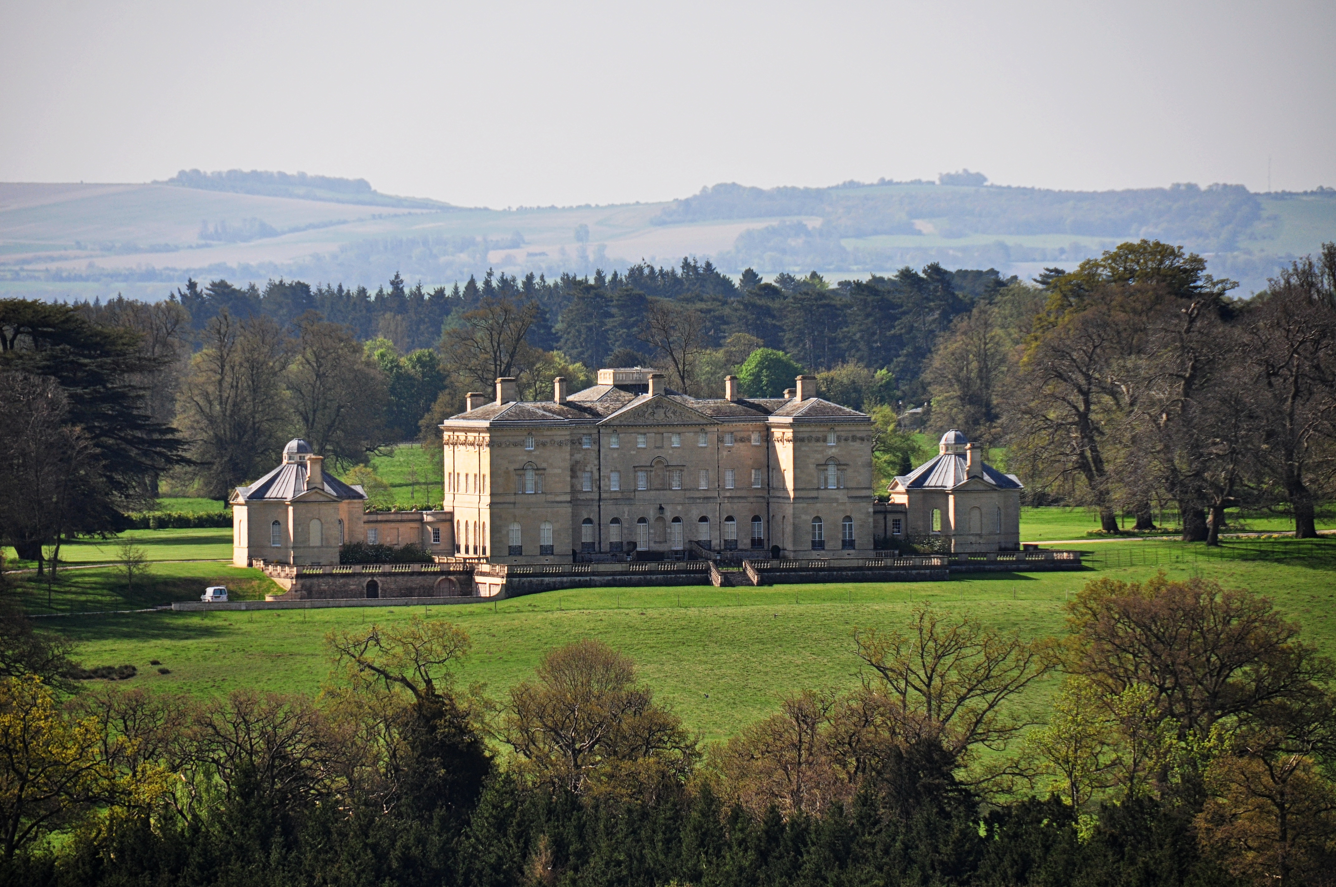
Buckland House
Buckland House is a large Georgian stately home, the manor house of Buckland in Oxfordshire, England (formerly in Berkshire). It is a masterpiece of Palladian...
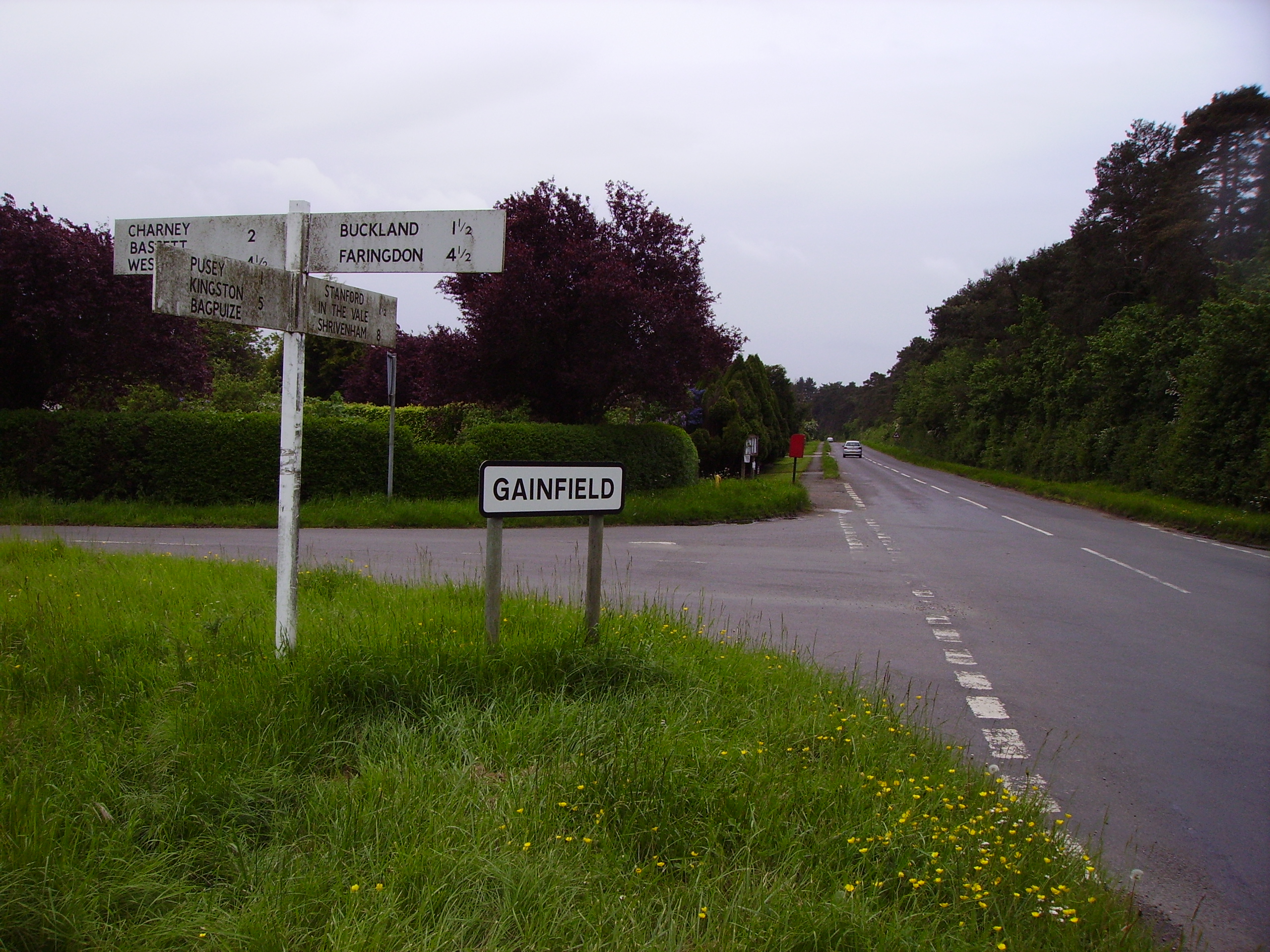
Gainfield
Gainfield is a small ribbon development in Buckland civil parish about 4 miles (6.4 km) east of Faringdon in the Vale of the White Horse District of England...
Nearby Amenities
Located within 500m of 51.675471,-1.4886408Have you been to Ayres's Common Plantation?
Leave your review of Ayres's Common Plantation below (or comments, questions and feedback).