Weston Wood
Wood, Forest in Warwickshire Warwick
England
Weston Wood
Weston Wood is a picturesque woodland area located in the county of Warwickshire, England. Situated near the village of Weston under Wetherley, this woodland is known for its natural beauty and tranquil atmosphere.
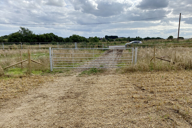
Covering an area of approximately 100 acres, Weston Wood is predominantly composed of deciduous trees, including oak, beech, and birch. The dense canopy provided by these trees creates a cool and shaded environment, perfect for long walks or quiet picnics on hot summer days. The forest floor is covered in a carpet of vibrant wildflowers and moss, adding to the enchanting atmosphere of the woodland.
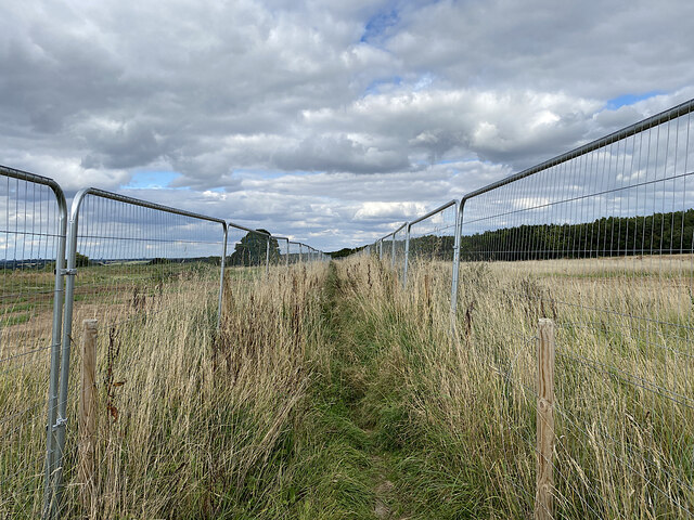
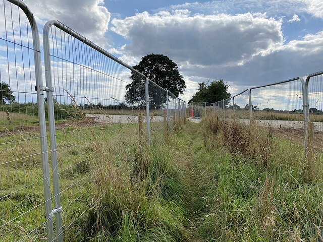
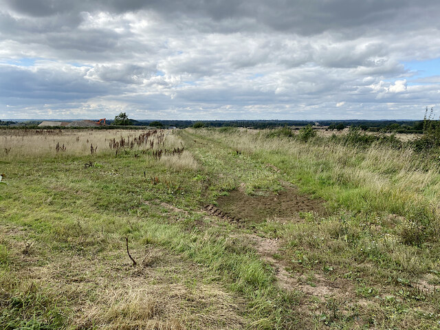
The wood is crisscrossed with a network of well-maintained footpaths, allowing visitors to explore its various nooks and crannies. These paths lead to hidden clearings, babbling brooks, and even a small pond, providing ample opportunities for wildlife spotting. It is not uncommon to encounter a variety of birds, such as woodpeckers and owls, as well as small mammals like rabbits and squirrels.
Weston Wood is also home to a diverse range of plant species, including rare and protected varieties. Due to its ecological importance, the woodland is designated as a Site of Special Scientific Interest (SSSI), ensuring its preservation for future generations.
Overall, Weston Wood offers a peaceful retreat from the hustle and bustle of everyday life, providing visitors with a chance to reconnect with nature and enjoy the tranquility of a beautiful forest setting.
If you have any feedback on the listing, please let us know in the comments section below.
Weston Wood Images
Images are sourced within 2km of 52.328943/-1.4813636 or Grid Reference SP3570. Thanks to Geograph Open Source API. All images are credited.


![250 Year Old Pear Tree This pear tree in this hedgerow has been classified by the Ancient Tree Register of the Woodland Trust as a “Veteran Tree” [1]. The trunk has a girth of 3.78m and its age has been estimated at 250 years [2]. It stands less than a kilometre from Cubbington, a quiet village close to Leamington Spa in Warwickshire. It also stands directly in the way of the proposed HS2 railway linking London to Birmingham [3]. After it is felled a 17m deep by 100m wide cutting will be dug and 36 trains an hour travelling at 250 mph will zoom past. Naturally the residents of Cubbington strongly oppose HS2. Whilst I strongly sympathise with their plight, I wouldn’t want it in my backyard, I must say I have nothing against such developments per se. Without large investments in infrastructure in the past we wouldn’t have the rail and road network we now take for granted and couldn’t live without. But £50 billion [5]. That’s a lot of money especially in these times of austerity. For what? So businessmen can get London twenty minutes or so faster. There will be no benefits whatsoever to the residents of Cubbington and a lot of costs. To catch the train they will have to travel north to Birmingham. £50 billion will pay for a lot of nurses. I am very sceptical of the cost/benefit analysis. Who will actually benefit? There is nothing for the North East in it. How much is a 250 year old pear tree worth? As I take my morning run out and back along two footpaths that cross the route it dawned on me there are no new footbridges marked on the HS2 route map where these paths are supposed to cross [4]. Surely crossings of Public Rights of Way have been thought about. Or perhaps the loss of local amenities is of no consequence. [1] <span class="nowrap"><a title="http://www.ancient-tree-hunt.org.uk/recording/tree?tree=81b4be5b-47ff-4de0-8615-e6a4e72addff" rel="nofollow ugc noopener" href="http://www.ancient-tree-hunt.org.uk/recording/tree?tree=81b4be5b-47ff-4de0-8615-e6a4e72addff">Link</a><img style="margin-left:2px;" alt="External link" title="External link - shift click to open in new window" src="https://s1.geograph.org.uk/img/external.png" width="10" height="10"/></span> [2] <span class="nowrap"><a title="http://cdnedge.bbc.co.uk/local/coventry/hi/people_and_places/nature/newsid_9364000/9364499.stm" rel="nofollow ugc noopener" href="http://cdnedge.bbc.co.uk/local/coventry/hi/people_and_places/nature/newsid_9364000/9364499.stm">Link</a><img style="margin-left:2px;" alt="External link" title="External link - shift click to open in new window" src="https://s1.geograph.org.uk/img/external.png" width="10" height="10"/></span> [3] <span class="nowrap"><a title="http://www.hs2-cubbington.net/facts-about-hs2-and-its-effects-on-cubbington/" rel="nofollow ugc noopener" href="http://www.hs2-cubbington.net/facts-about-hs2-and-its-effects-on-cubbington/">Link</a><img style="margin-left:2px;" alt="External link" title="External link - shift click to open in new window" src="https://s1.geograph.org.uk/img/external.png" width="10" height="10"/></span> [4] <span class="nowrap"><a title="http://assets.dft.gov.uk/publications/hs2-maps-20120110/hs2arp00drrw05022issue3.pdf" rel="nofollow ugc noopener" href="http://assets.dft.gov.uk/publications/hs2-maps-20120110/hs2arp00drrw05022issue3.pdf">Link</a><img style="margin-left:2px;" alt="External link" title="External link - shift click to open in new window" src="https://s1.geograph.org.uk/img/external.png" width="10" height="10"/></span> [5] <span class="nowrap"><a title="http://stophs2.org/tag/cubbington-action-group-against-hs2" rel="nofollow ugc noopener" href="http://stophs2.org/tag/cubbington-action-group-against-hs2">Link</a><img style="margin-left:2px;" alt="External link" title="External link - shift click to open in new window" src="https://s1.geograph.org.uk/img/external.png" width="10" height="10"/></span>
From my blog: <span class="nowrap"><a title="https://fhithich.wordpress.com/2015/06/20/250-year-old-pear-tree-and-the-high-speed-train/" rel="nofollow ugc noopener" href="https://fhithich.wordpress.com/2015/06/20/250-year-old-pear-tree-and-the-high-speed-train/">Link</a><img style="margin-left:2px;" alt="External link" title="External link - shift click to open in new window" src="https://s1.geograph.org.uk/img/external.png" width="10" height="10"/></span>](https://s2.geograph.org.uk/geophotos/04/65/43/4654306_d8708e62.jpg)
Weston Wood is located at Grid Ref: SP3570 (Lat: 52.328943, Lng: -1.4813636)
Administrative County: Warwickshire
District: Warwick
Police Authority: Warwickshire
What 3 Words
///payer.tickling.bars. Near Royal Leamington Spa, Warwickshire
Nearby Locations
Related Wikis

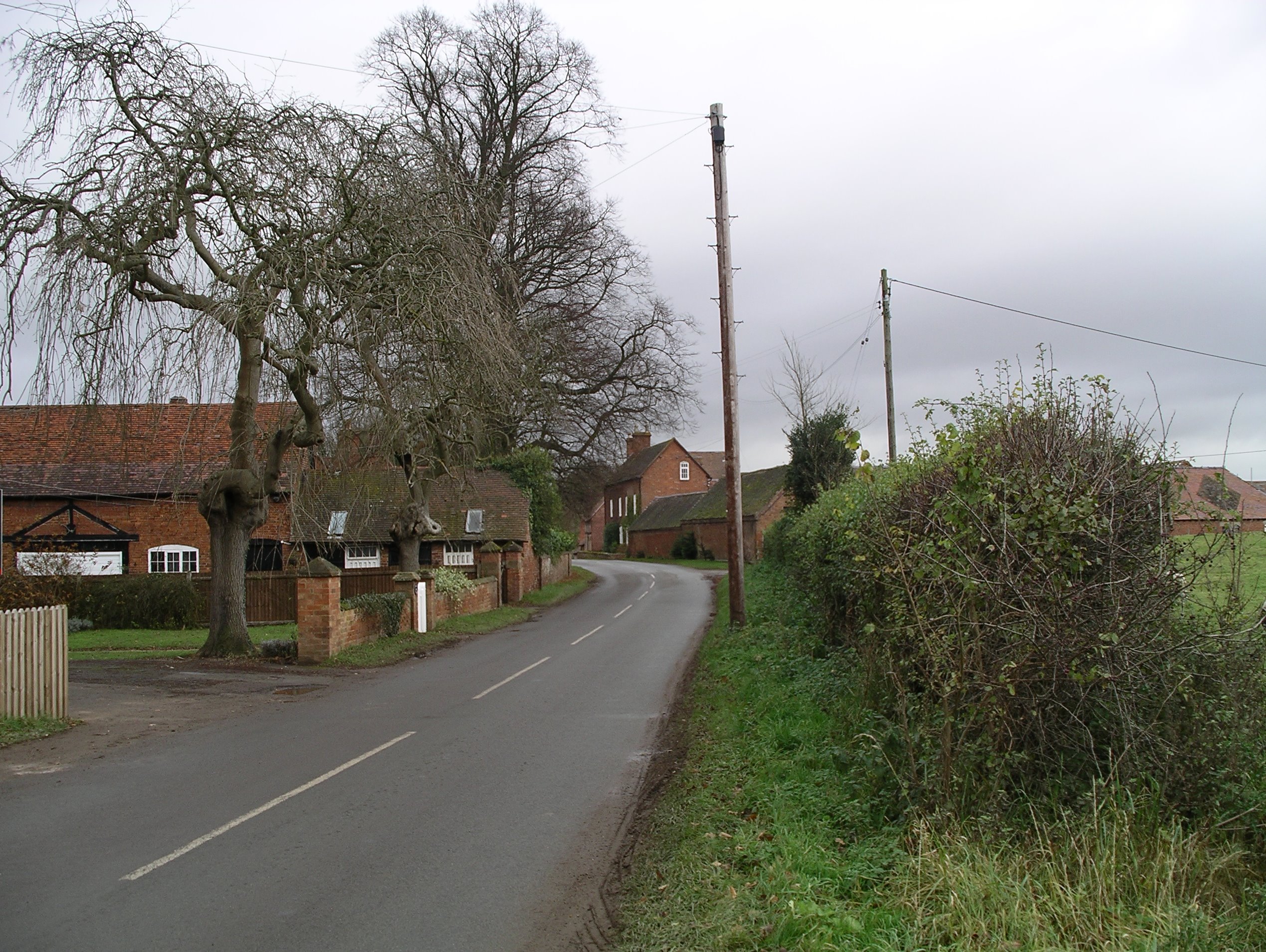
Weston under Wetherley
Weston under Wetherley, often known by locals as just Weston, is a small village and civil parish in Warwickshire, England. It is on the B4453, 4 miles...

Cubbington Pear Tree
The Cubbington Pear Tree was a wild pear tree located near Cubbington in Warwickshire, England. Around 250 years old, it was the second largest wild pear...
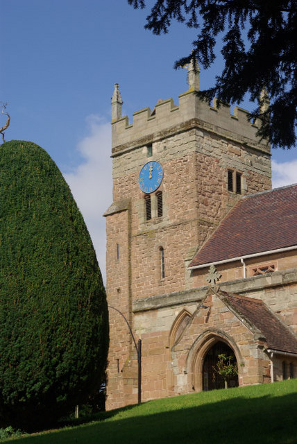
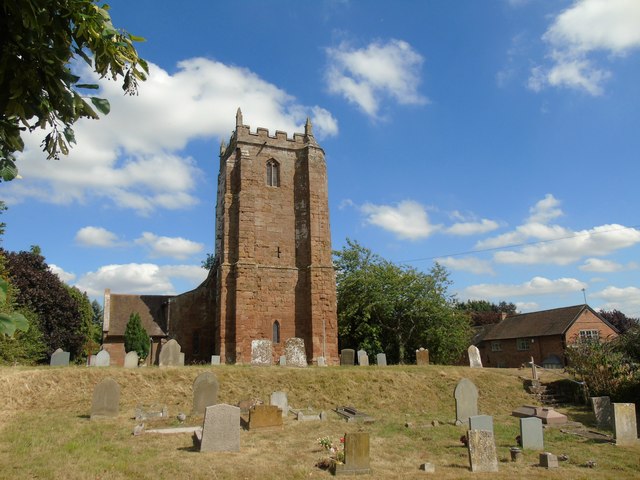
St. Mary's Church, Cubbington
St. Mary's is the parish church of Cubbington, Warwickshire, England. Denominationally it is part of the Church of England. The original church building...
Stareton
Stareton is a small hamlet in Warwickshire, England. The population is included within Stoneleigh parish. It is situated about half a mile from Stoneleigh...
Have you been to Weston Wood?
Leave your review of Weston Wood below (or comments, questions and feedback).