Ditchingham
Settlement in Norfolk South Norfolk
England
Ditchingham
Ditchingham is a small village located in the county of Norfolk, England. Situated approximately 8 miles south of the town of Bungay, Ditchingham is nestled in a rural setting surrounded by beautiful countryside. The village lies on the Norfolk-Suffolk border and is part of the South Norfolk district.
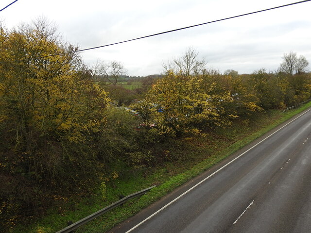
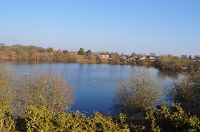
Ditchingham is known for its picturesque landscapes and charming countryside views. It is a popular destination for nature enthusiasts, offering a variety of walking and cycling trails that showcase the area's natural beauty. The village is also home to the River Waveney, which runs along its eastern boundary, providing opportunities for boating and fishing.
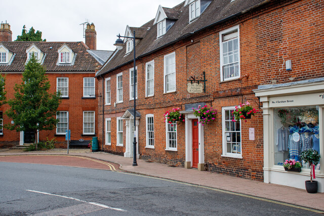
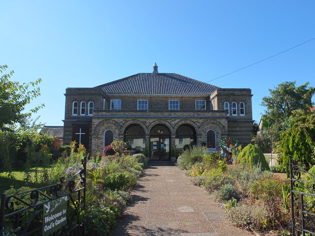
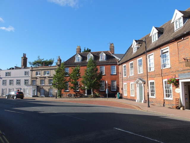
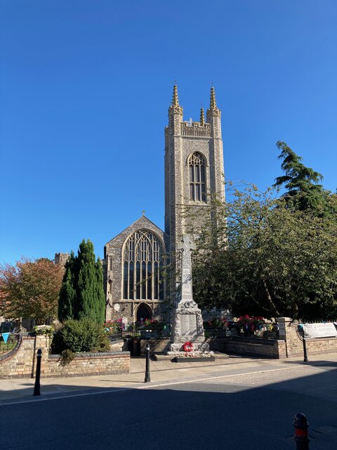
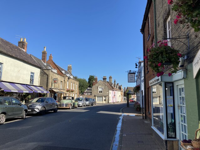
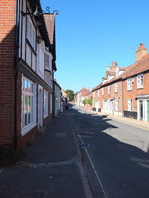
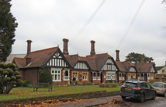
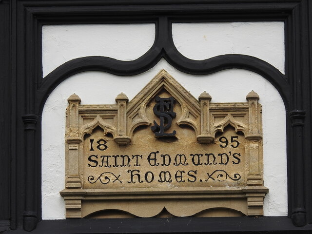
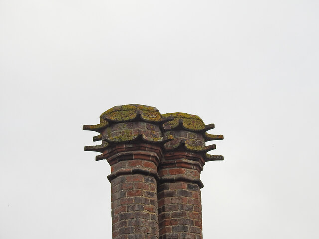
Historically, Ditchingham was primarily an agricultural community, and remnants of its rural past are still visible today. The village features several traditional cottages and buildings that add to its quaint and timeless atmosphere. Additionally, the Holy Trinity Church, a Grade II listed building, stands as a prominent landmark in the village. Dating back to the 14th century, the church boasts beautiful stained glass windows and a unique architectural style.
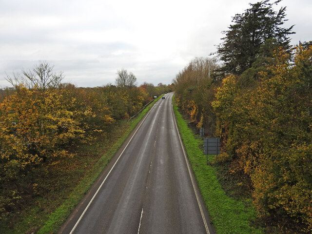
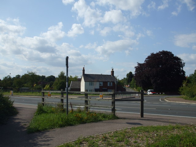
While Ditchingham is a small village, it offers a range of amenities for its residents and visitors. These include a primary school, a village hall, and a local pub. The village is well-connected to nearby towns and cities, with regular bus services and good road links.
Overall, Ditchingham offers a tranquil and idyllic setting, making it an appealing destination for those seeking a peaceful retreat in the heart of the Norfolk countryside.
If you have any feedback on the listing, please let us know in the comments section below.
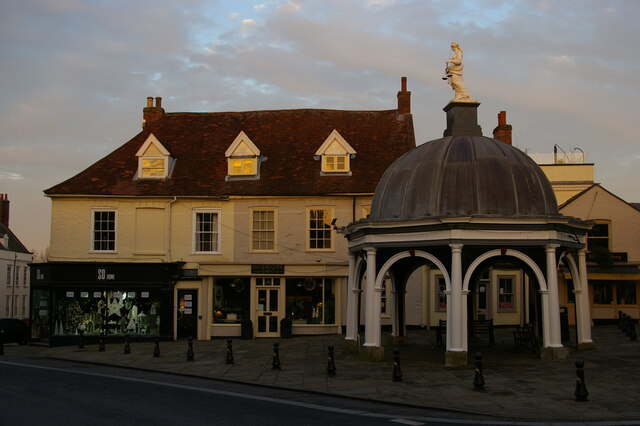
Ditchingham Images
Images are sourced within 2km of 52.467222/1.443901 or Grid Reference TM3491. Thanks to Geograph Open Source API. All images are credited.
Ditchingham is located at Grid Ref: TM3491 (Lat: 52.467222, Lng: 1.443901)
Administrative County: Norfolk
District: South Norfolk
Police Authority: Norfolk
What 3 Words
///sidelined.depth.tablets. Near Ditchingham, Norfolk
Nearby Locations
Related Wikis

Ditchingham
Ditchingham is a village and civil parish in the English county of Norfolk. It is located across the River Waveney from Bungay, Suffolk. == History... ==
Ditchingham railway station
Ditchingham was a railway station in Ditchingham, Norfolk on the Waveney Valley Line. Opened on 2 March 1863, it closed to passengers along with the rest...

Chicken roundabout
The chicken roundabout is a roundabout located on the A143 road, on the Bungay and Ditchingham bypass in Suffolk, United Kingdom. The roundabout was famous...

Bungay Town F.C.
Bungay Town Football Club is an English football club based in Bungay, Suffolk. The club are currently members of Anglian Combination Division One and...
Broome Heath
Broome Heath is a 31.7-hectare (78-acre) Local Nature Reserve in Ditchingham in Norfolk. It is owned by South Norfolk District Council and managed by...
Broome, Norfolk
Broome is a village and civil parish in the English county of Norfolk. It is situated on the north bank of the River Waveney, which forms the border with...

Broome Heath Pit
Broome Heath Pit is a 1.2-hectare (3.0-acre) geological Site of Special Scientific Interest east of Ditchingham in Norfolk. It is a Geological Conservation...

Bungay
Bungay () is a market town, civil parish and electoral ward in the English county of Suffolk. It lies in the Waveney Valley, 5.5 miles (9 km) west of Beccles...
Nearby Amenities
Located within 500m of 52.467222,1.443901Have you been to Ditchingham?
Leave your review of Ditchingham below (or comments, questions and feedback).