Backet's Plantation
Wood, Forest in Hampshire
England
Backet's Plantation

Bracket's Plantation is a woodland area located in Hampshire, England. Spanning over a vast area, it is known for its dense forest cover and diverse range of plant and animal species. The plantation is situated in close proximity to the town of Wood, making it easily accessible for nature enthusiasts and hikers.
The woodland of Bracket's Plantation is primarily composed of a mixture of deciduous and coniferous trees. This blend creates a unique ecosystem that supports a variety of wildlife. The forest is home to numerous bird species, including woodpeckers, owls, and various songbirds. Mammals such as deer, foxes, and badgers can also be spotted in the area.
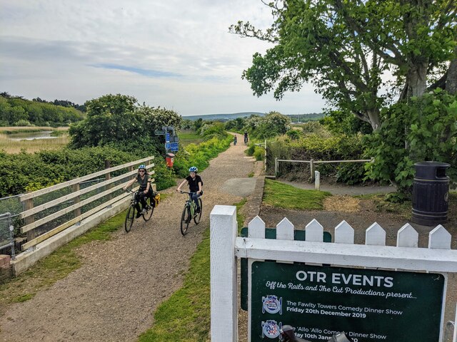
The plantation offers a range of walking trails and footpaths, allowing visitors to explore the natural beauty of the woodland. These paths wind through the forest, leading to scenic viewpoints and tranquil spots. The plantation is a popular destination for outdoor activities such as picnicking, birdwatching, and photography.
The management of Bracket's Plantation focuses on maintaining the ecological balance of the woodland. Regular tree planting and conservation efforts are undertaken to ensure the sustainability of the forest ecosystem. The plantation also serves as a carbon sink, contributing to the reduction of greenhouse gases in the atmosphere.
Overall, Bracket's Plantation in Hampshire offers a peaceful and picturesque setting for nature lovers to immerse themselves in the beauty of a thriving woodland ecosystem.
If you have any feedback on the listing, please let us know in the comments section below.
Backet's Plantation Images
Images are sourced within 2km of 50.688876/-1.5016445 or Grid Reference SZ3587. Thanks to Geograph Open Source API. All images are credited.


Backet's Plantation is located at Grid Ref: SZ3587 (Lat: 50.688876, Lng: -1.5016445)
Unitary Authority: Isle of Wight
Police Authority: Hampshire
What 3 Words
///reporting.sweated.shredding. Near Freshwater, Isle of Wight
Nearby Locations
Related Wikis
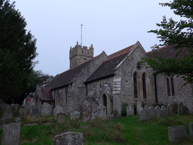
All Saints' Church, Freshwater
All Saints' Church, Freshwater is a parish church in the Church of England located in Freshwater, Isle of Wight. == History == The church is medieval....
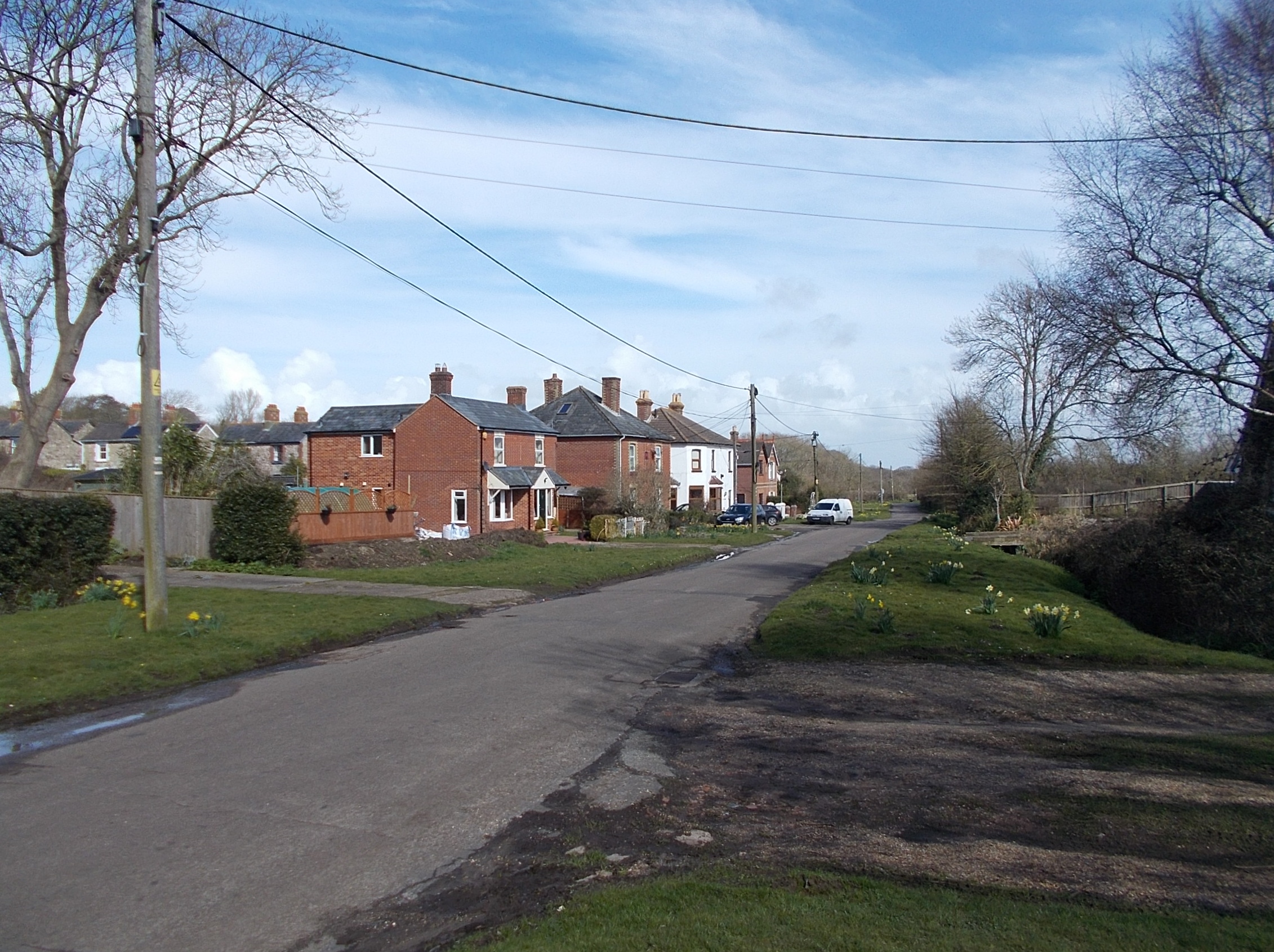
Norton Green
Norton Green is a hamlet on the Isle of Wight. It is located just north of Freshwater (where the 2011 Census was included) in the west of the island....

Freshwater railway station
Freshwater railway station was the westerly terminus and largest station of the Freshwater, Yarmouth and Newport Railway, the platform being extended to...
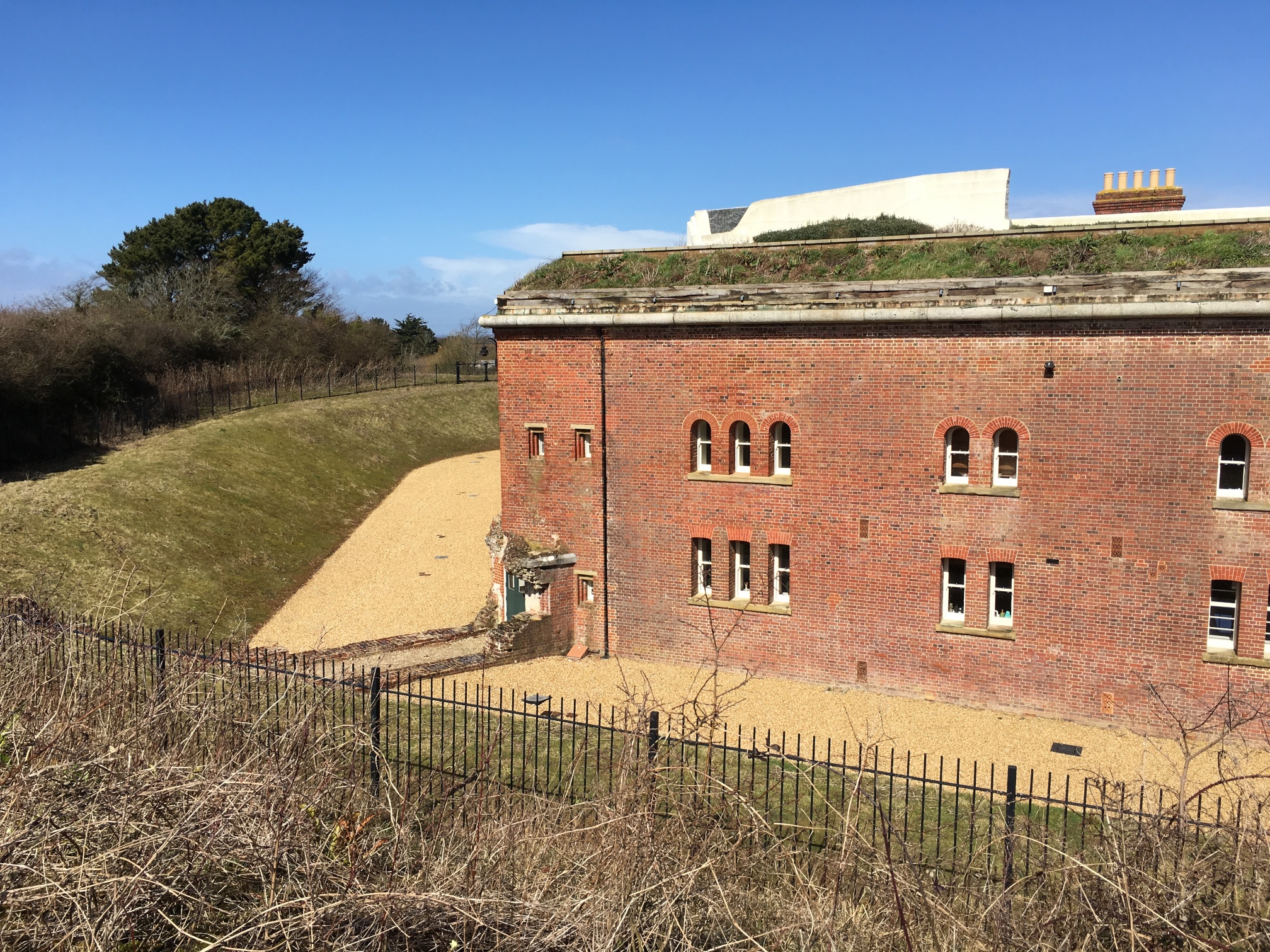
Golden Hill Fort
Golden Hill Fort was a defensible barracks at Freshwater, Isle of Wight, England, built as part of the Palmerston defences by the 1859 Royal Commission...
Nearby Amenities
Located within 500m of 50.688876,-1.5016445Have you been to Backet's Plantation?
Leave your review of Backet's Plantation below (or comments, questions and feedback).