Thacker's Wood
Wood, Forest in Derbyshire Amber Valley
England
Thacker's Wood

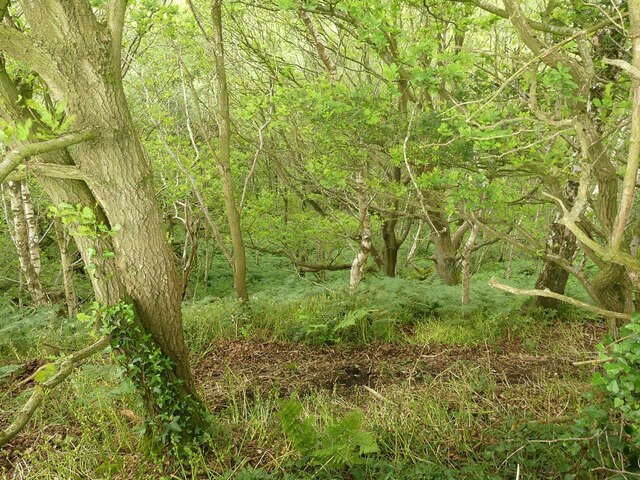
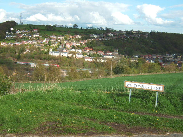
Thacker's Wood is a picturesque forest located in Derbyshire, England. Spread across a vast expanse, it covers an area of approximately 500 acres. Nestled in the heart of the Peak District National Park, this woodland is a beloved destination for nature enthusiasts and visitors alike, offering a tranquil retreat from the hustle and bustle of everyday life.
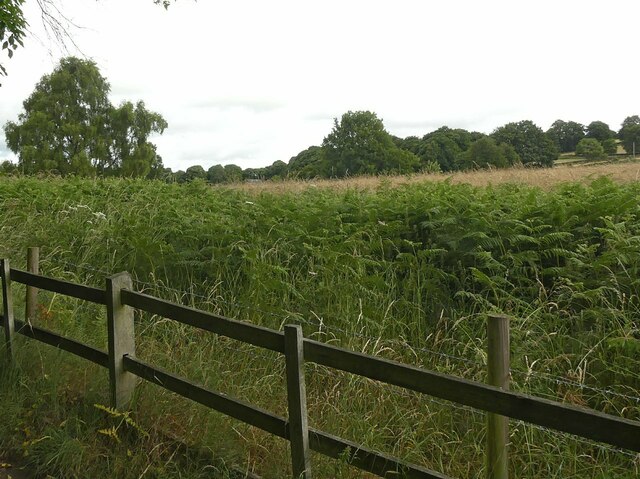
The wood features a diverse range of tree species, including oak, beech, birch, and ash, which create a stunning tapestry of colors throughout the changing seasons. The forest floor is adorned with a rich carpet of wildflowers, adding to the natural beauty and charm of the area.
Thacker's Wood is home to a wide variety of wildlife, making it a haven for nature lovers. Visitors may encounter an array of bird species, such as woodpeckers, owls, and songbirds, as they traverse the well-marked walking trails. Squirrels, rabbits, and even deer can also be spotted within the woodlands, adding to the enchantment of the area.
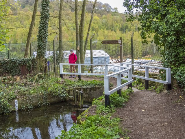
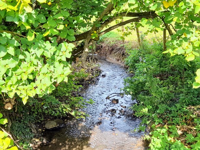
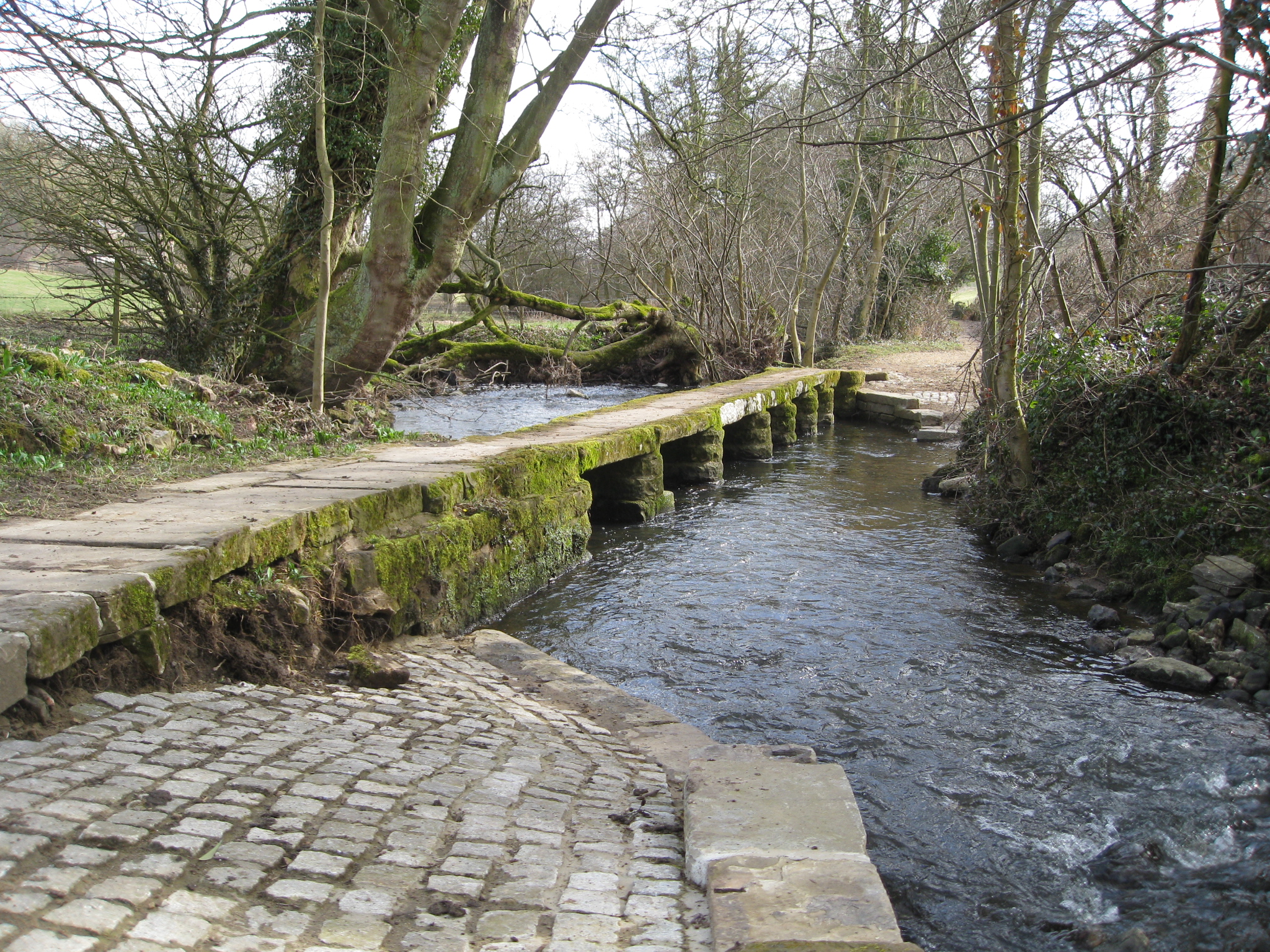
The forest offers several well-maintained pathways for visitors to explore, allowing them to immerse themselves in the breathtaking surroundings. The trails wind through ancient woodlands, crossing babbling brooks and leading to captivating viewpoints that overlook the surrounding countryside.
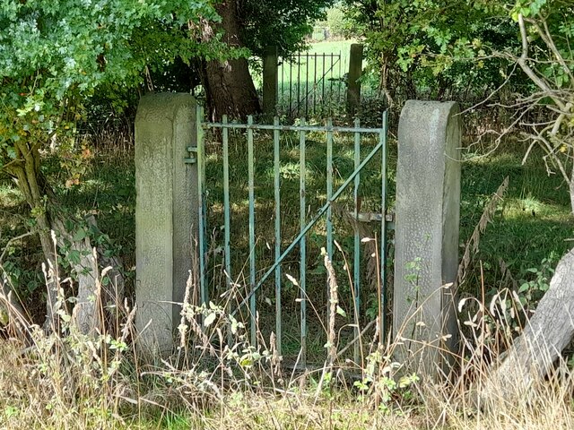
Thacker's Wood is not only a haven for nature but also a place of historical significance. The wood has a rich history dating back centuries, with remnants of old structures and archaeological sites scattered throughout. Exploring these hidden treasures adds an extra layer of intrigue to a visit to this enchanting woodland.
Overall, Thacker's Wood in Derbyshire is a captivating destination that offers a perfect blend of natural beauty, wildlife, and historical charm. Whether it's a leisurely stroll, a birdwatching expedition, or a peaceful picnic, this woodland provides a serene and rejuvenating experience for all who venture within its boundaries.
If you have any feedback on the listing, please let us know in the comments section below.
Thacker's Wood Images
Images are sourced within 2km of 53.059027/-1.4755825 or Grid Reference SK3551. Thanks to Geograph Open Source API. All images are credited.


Thacker's Wood is located at Grid Ref: SK3551 (Lat: 53.059027, Lng: -1.4755825)
Administrative County: Derbyshire
District: Amber Valley
Police Authority: Derbyshire
What 3 Words
///overlooks.nagging.user. Near Heage, Derbyshire
Nearby Locations
Related Wikis
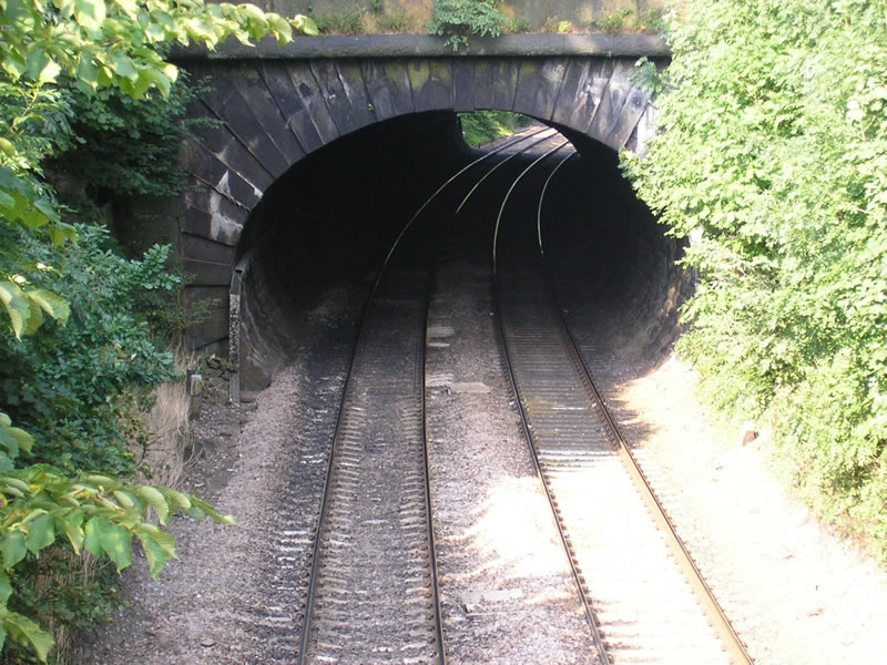
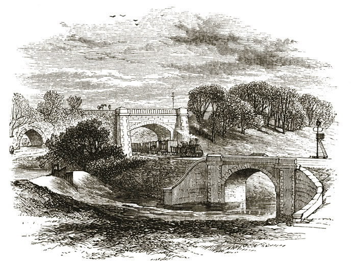
Toadmoor Tunnel
Toadmoor Tunnel (originally called Hag Wood Tunnel) was built at Ambergate as part of the North Midland Railway, which opened in 1840.128 yards long, it...

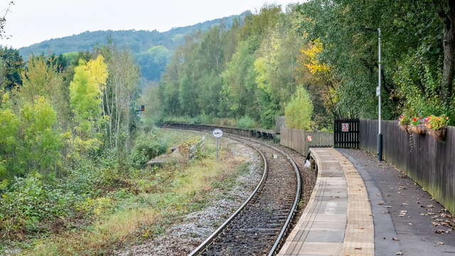
Ambergate railway station
Ambergate railway station is a railway station owned by Network Rail and managed by East Midlands Railway. It serves the village of Ambergate in Derbyshire...
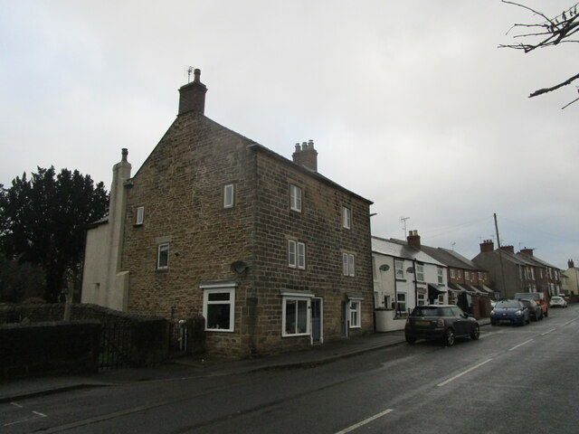
Ambergate
Ambergate () is a village in Derbyshire, England, situated where the River Amber joins the River Derwent, and where the A610 road from Ripley and Nottingham...
River Amber
The River Amber is a left bank tributary of the River Derwent in Derbyshire, England. It gives its name to the local government district and borough of...
Bullbridge Aqueduct
The Bull Bridge Aqueduct was situated on the Cromford Canal, built in 1794, at Bullbridge east of Ambergate along the Amber Valley, where it turned sharply...

Cromford Canal
The Cromford Canal ran 14.5 miles (23.3 kilometres) from Cromford to the Erewash Canal in Derbyshire, England with a branch to Pinxton. Built by William...

Bullbridge
Bullbridge is a small village in Derbyshire. The Bull bridge accident, in which a railway bridge failed as a goods train was just passing over it, happened...

Bull bridge accident
The Bull Bridge accident was a failure of a cast-iron bridge at Bullbridge, near Ambergate in Derbyshire on 26 September 1860. As a goods train was passing...
Nearby Amenities
Located within 500m of 53.059027,-1.4755825Have you been to Thacker's Wood?
Leave your review of Thacker's Wood below (or comments, questions and feedback).