Brick Kiln Plantation
Wood, Forest in Yorkshire Harrogate
England
Brick Kiln Plantation

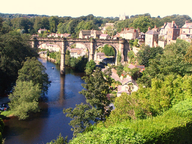
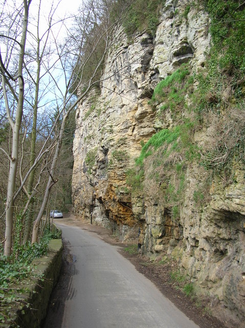
Brick Kiln Plantation, located in Yorkshire, is a sprawling wood and forest area known for its natural beauty and diverse ecosystem. Spanning over several acres, this plantation is a haven for nature enthusiasts and outdoor lovers alike.
The plantation is renowned for its dense forest cover, composed primarily of tall, majestic trees such as oak, beech, and birch. These trees not only provide a stunning visual backdrop but also serve as a habitat for a wide range of wildlife. Visitors to Brick Kiln Plantation can spot various bird species, including woodpeckers, owls, and jays, as well as small mammals like squirrels and rabbits.
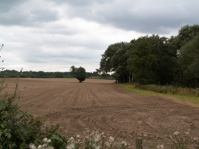
Traversing through the plantation, visitors can find well-marked trails that lead to hidden gems within the woodland. These trails offer an opportunity for leisurely walks, hikes, and even cycling, allowing visitors to explore the plantation at their own pace. The surrounding landscape is also home to picturesque ponds and streams, adding to the overall tranquility and charm of the area.
Brick Kiln Plantation is not only a recreational space but also a significant contributor to the local ecosystem. It acts as a carbon sink, absorbing harmful greenhouse gases and aiding in mitigating climate change. The plantation also plays a crucial role in water management, preventing soil erosion and maintaining water quality in the region.
Overall, Brick Kiln Plantation is a precious natural asset in Yorkshire, offering a serene escape from the hustle and bustle of daily life. Its rich biodiversity, well-maintained trails, and environmental significance make it a must-visit destination for nature enthusiasts and those seeking solace in nature's embrace.
If you have any feedback on the listing, please let us know in the comments section below.
Brick Kiln Plantation Images
Images are sourced within 2km of 53.987066/-1.4644876 or Grid Reference SE3554. Thanks to Geograph Open Source API. All images are credited.


Brick Kiln Plantation is located at Grid Ref: SE3554 (Lat: 53.987066, Lng: -1.4644876)
Division: West Riding
Administrative County: North Yorkshire
District: Harrogate
Police Authority: North Yorkshire
What 3 Words
///bill.runner.years. Near Knaresborough, North Yorkshire
Nearby Locations
Related Wikis
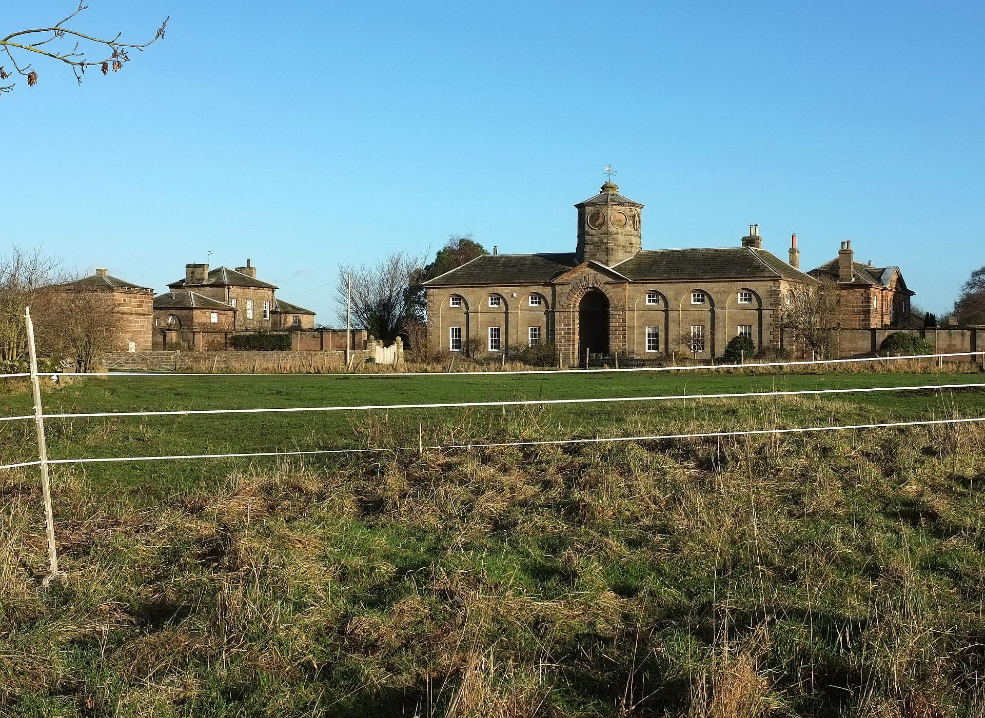
Plompton
Plompton (formerly also spelt Plumpton) is a hamlet and civil parish south of Harrogate in North Yorkshire, England. It is close to the A661. Plompton...

Harrogate and Knaresborough (UK Parliament constituency)
Harrogate and Knaresborough () is a parliamentary constituency in North Yorkshire which has been represented in the House of Commons of the UK Parliament...

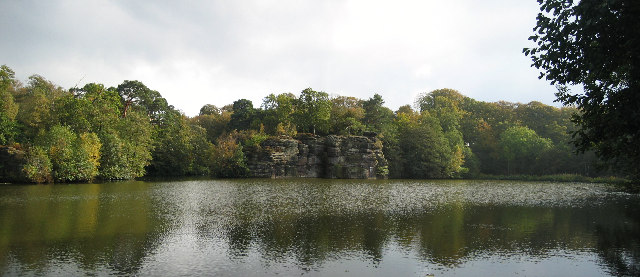
Plumpton Rocks
Plumpton Rocks is a man-made lake and surrounding pleasure gardens 3.5 miles (5.6 km) south-east of Harrogate in North Yorkshire, England, near the village...
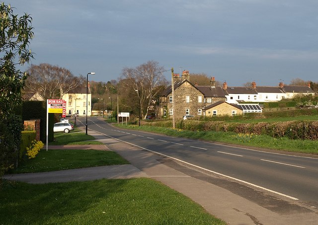
Calcutt, North Yorkshire
Calcutt is a village in the Harrogate district of North Yorkshire, England. == External links == Media related to Calcutt, North Yorkshire at Wikimedia...
Nearby Amenities
Located within 500m of 53.987066,-1.4644876Have you been to Brick Kiln Plantation?
Leave your review of Brick Kiln Plantation below (or comments, questions and feedback).