Distington
Settlement in Cumberland Copeland
England
Distington

Distington is a small village located in the county of Cumberland, in the North West of England. It is situated approximately 3 miles southwest of the town of Workington, and is surrounded by picturesque countryside and rolling hills.
The village is home to a population of around 2,500 people, and is known for its close-knit community and friendly atmosphere. Distington boasts a range of amenities, including a primary school, village hall, post office, and a few local shops and pubs. The nearby towns of Workington and Whitehaven offer a wider range of services and facilities, such as supermarkets, leisure centers, and secondary schools.
The village is well-connected in terms of transportation, with regular bus services running to and from the neighboring towns. The A595 road, which passes through Distington, provides easy access to the rest of the county and beyond.
Distington is also known for its rich industrial heritage. Historically, the village was heavily involved in coal mining and iron ore extraction, with several mines and collieries operating in the area. Today, remnants of this industrial past can still be seen, including disused mine buildings and railway lines.
For outdoor enthusiasts, Distington offers plenty of opportunities to explore the surrounding countryside. The village is located close to the Lake District National Park, a popular destination for hiking, cycling, and enjoying the stunning natural landscapes.
In summary, Distington is a charming village in Cumberland, offering a peaceful and close-knit community, a range of amenities, and easy access to both rural and urban areas.
If you have any feedback on the listing, please let us know in the comments section below.
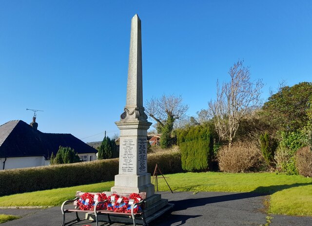
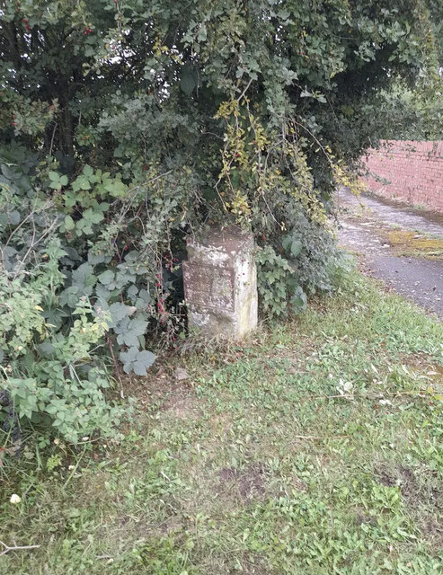
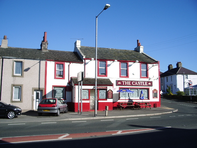
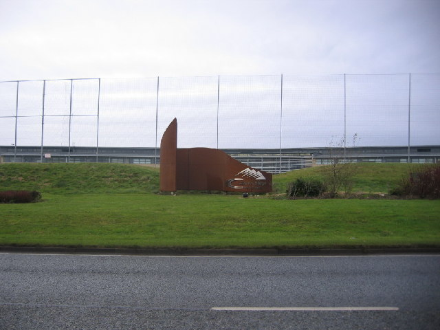
Distington Images
Images are sourced within 2km of 54.596387/-3.539705 or Grid Reference NY0023. Thanks to Geograph Open Source API. All images are credited.


Distington is located at Grid Ref: NY0023 (Lat: 54.596387, Lng: -3.539705)
Administrative County: Cumbria
District: Copeland
Police Authority: Cumbria
What 3 Words
///gloves.woods.straying. Near Distington, Cumbria
Nearby Locations
Related Wikis

Distington
Distington () is a large village and civil parish in Cumbria, England, 3 miles (4.8 km) south of Workington and 4 miles (6.4 km) north of Whitehaven. Historically...
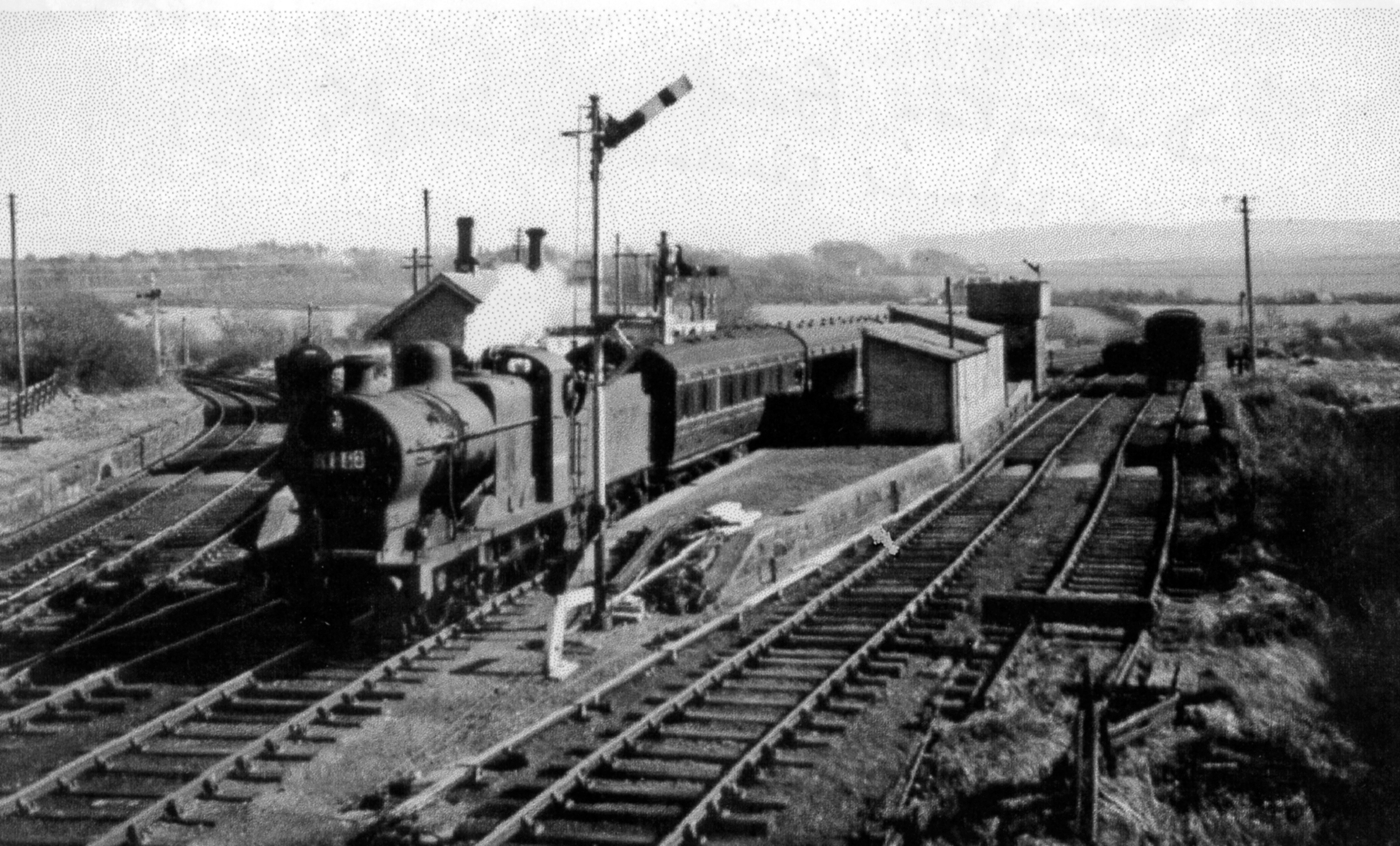
Distington railway station
Distington railway station was opened jointly by the Cleator and Workington Junction Railway (C&WJR) and the LNWR and Furness Joint Railway (The Joint...
Common End, Cumbria
Common End is a hamlet within the civil parish of Distington in Cumbria, England. Common End was on the A595 road until it was by-passed. == References ==
Lakes College
Lakes College is a further education institute located at Lillyhall, Cumberland, England, between the towns of Workington and Whitehaven. The college offers...
Nearby Amenities
Located within 500m of 54.596387,-3.539705Have you been to Distington?
Leave your review of Distington below (or comments, questions and feedback).