North Cubbington Wood

Wood, Forest in Warwickshire Warwick

England

North Cubbington Wood

Bungalows, Cubbington Road, Cubbington, Royal Leamington Spa
Bungalows, Cubbington Road, Cubbington, Royal Leamington Spa Credit: Robin Stott

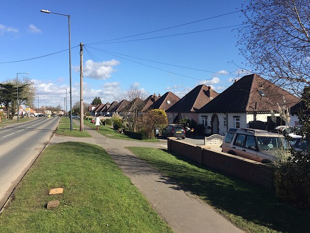
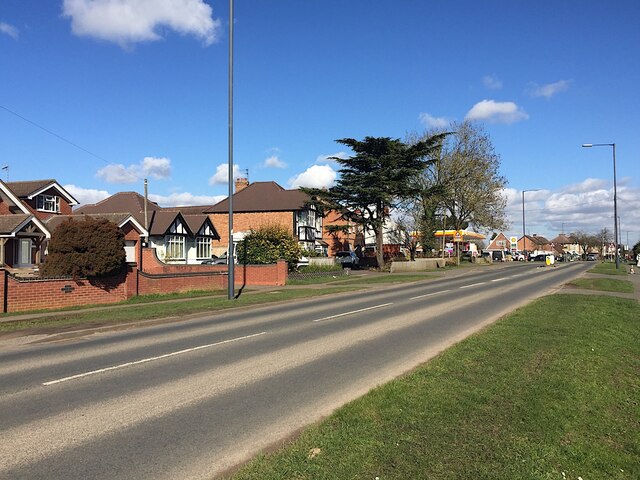
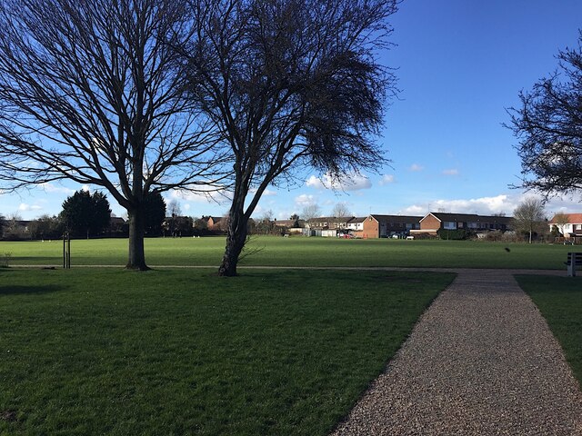
North Cubbington Wood is a picturesque woodland located in the county of Warwickshire, England. It covers an area of approximately 50 hectares and is situated north of the village of Cubbington. The wood is part of the larger Cubbington Woods complex, which includes South Cubbington Wood and Offchurch Wood.

The woodland is predominantly made up of native broadleaf trees, such as oak, ash, birch, and beech, creating a diverse and lush habitat. These trees are well-established and form a dense canopy, providing shelter for a variety of wildlife. The forest floor is covered in a rich carpet of wildflowers, including bluebells, wood anemones, and primroses, adding to the natural beauty of the area.

North Cubbington Wood is a designated Site of Special Scientific Interest (SSSI) due to its importance for wildlife conservation. It is home to a wide range of bird species, including the great spotted woodpecker, tawny owl, and chiffchaff. The wood also provides habitat for mammals such as badgers, foxes, and a variety of bats.

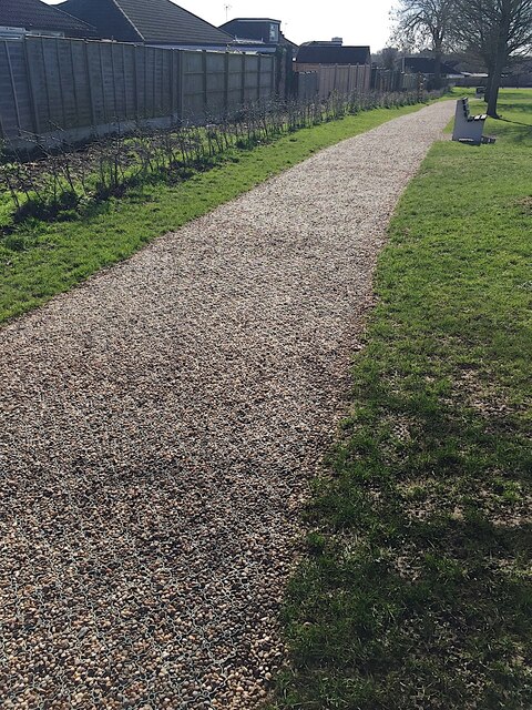
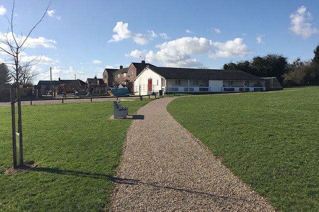
The wood is a popular destination for nature lovers, walkers, and photographers, who can enjoy the tranquil atmosphere and explore the network of well-maintained footpaths that crisscross the area. There are also designated picnic areas and benches where visitors can relax and enjoy the surroundings.

North Cubbington Wood offers a peaceful retreat from the hustle and bustle of everyday life, providing a haven for both wildlife and humans alike.

If you have any feedback on the listing, please let us know in the comments section below.

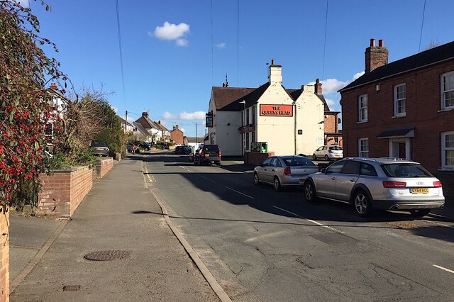
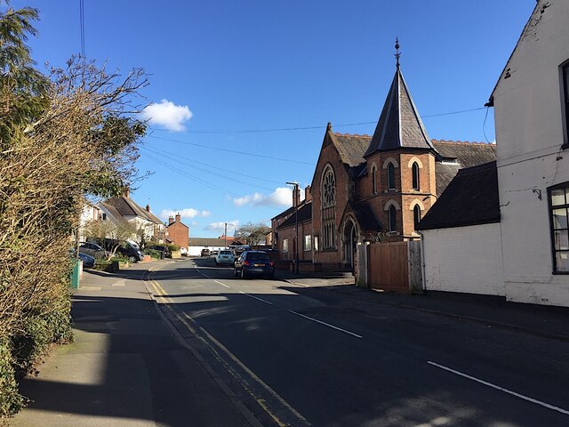
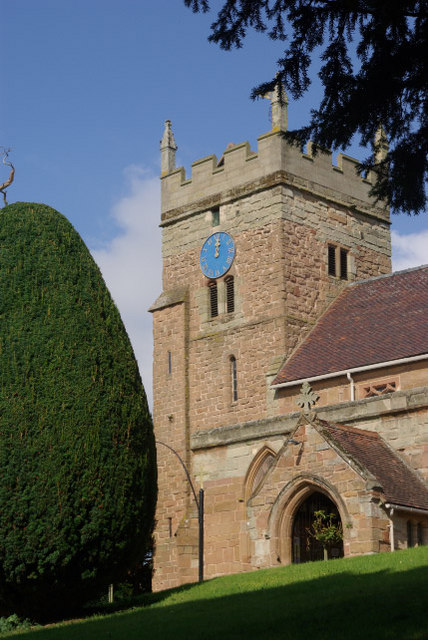
North Cubbington Wood Images

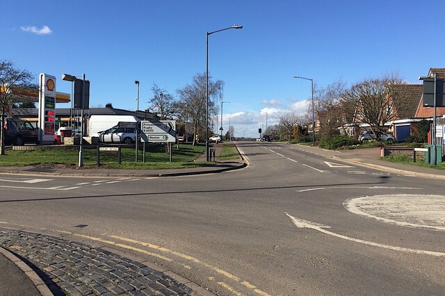
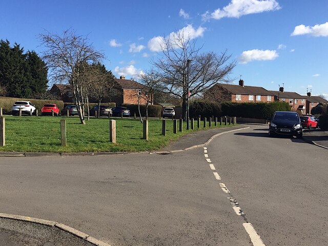
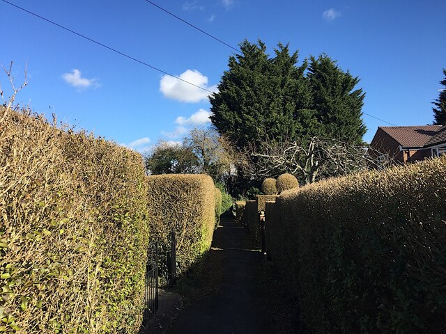
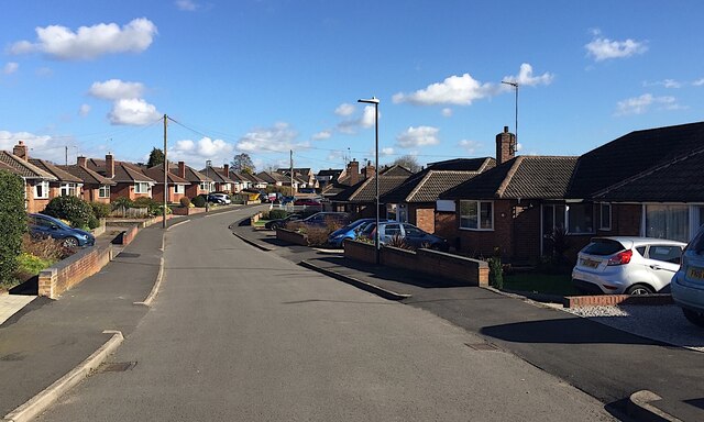
Images are sourced within 2km of 52.320884/-1.4868275 or Grid Reference SP3569. Thanks to Geograph Open Source API. All images are credited.

Bungalows, Cubbington Road, Cubbington, Royal Leamington Spa
Cubbington Road approaching the Windmill Hill crossroads, Cubbington
Rugby Road, Cubbington
Cubbington crossroads and mini-roundabout A farm tractor moves towards Windmill Hill from Kenilworth Road, left. Cubbington Road, foreground, continues as Rugby Road: a very busy junction.
Cubbington crossroads and mini-roundabout
A farm tractor moves towards Windmill Hill from Kenilworth Road, left. Cubbington Road, foreground, continues as Rugby Road: a very busy junction.
Northwest on Kenilworth Road from the crossroads, Cubbington A reverse view is <a href="https://www.geograph.org.uk/photo/7085475">SP3368 : Kenilworth Road approaches Cubbington crossroads</a>.
Northwest on Kenilworth Road from the crossroads, Cubbington
Conifers, front garden, Windmill Hill, Cubbington On the far side a (clipped) Lawson Cypress variety, perhaps 'Erecta'. At the front a prostrate juniper and to its left a thriving Mountain Pine, Pinus mugo.
Conifers, front garden, Windmill Hill, Cubbington
On the far side a (clipped) Lawson Cypress variety, perhaps 'Erecta'. At the front a prostrate juniper and to its left a thriving Mountain Pine, Pinus mugo.
Junction of Windmill Hill and Stonehouse Close, Cubbington
Up Stonehouse Close, Cubbington
Open space, Stonehouse Close, Cubbington
Footpath off Stonehouse Close, Cubbington
Ledbrook Avenue, Cubbington
Cubbington Playing Field
Path of pea gravel laid on plastic mesh, Cubbington Playing Field The cells of the mesh hold the gravel in place.
Path of pea gravel laid on plastic mesh, Cubbington Playing Field
The cells of the mesh hold the gravel in place.
Path and pavilion, Cubbington Playing Field The entrance, left, is off Stonehouse Close.
Path and pavilion, Cubbington Playing Field
The entrance, left, is off Stonehouse Close.
Holm Oak, Stonehouse Close, Cubbington It is likely that this splendid tree once grew in the garden of a Victorian house, long gone. The scientific name is Quercus ilex.
Holm Oak, Stonehouse Close, Cubbington
It is likely that this splendid tree once grew in the garden of a Victorian house, long gone. The scientific name is Quercus ilex.
Bus stop, south end of Queen Street, Cubbington Stagecoach service 67A to and from Leamington.
Bus stop, south end of Queen Street, Cubbington
Stagecoach service 67A to and from Leamington.
Queen Street and the Queens Head, Cubbington
Cubbington Methodist Church, Queen Street
Show me another place!

North Cubbington Wood is located at Grid Ref: SP3569 (Lat: 52.320884, Lng: -1.4868275)

Administrative County: Warwickshire

District: Warwick

Police Authority: Warwickshire

What 3 Words

///veto.spouse.rationing. Near Royal Leamington Spa, Warwickshire

Related Wikis

Cubbington Pear Tree

The Cubbington Pear Tree was a wild pear tree located near Cubbington in Warwickshire, England. Around 250 years old, it was the second largest wild pear...

Weston under Wetherley

Weston under Wetherley, often known by locals as just Weston, is a small village and civil parish in Warwickshire, England. It is on the B4453, 4 miles...

St. Mary's Church, Cubbington

St. Mary's is the parish church of Cubbington, Warwickshire, England. Denominationally it is part of the Church of England. The original church building...

Cubbington

Cubbington is a village and civil parish with a population of 3,929, adjoining the north-eastern outskirts of Leamington Spa, Warwickshire, England, approximately...

Nearby Amenities

Located within 500m of 52.320884,-1.4868275
Direction: both
Maxspeed: 50 mph
Traffic Sign: maxspeed
Lat/Long: 52.3190268/-1.4856359
Direction: both
Maxspeed: 50 mph
Traffic Sign: maxspeed
Lat/Long: 52.3170773/-1.4896499
The data included in this document is from www.openstreetmap.org. The data is made available under ODbL.

Have you been to North Cubbington Wood?

Leave your review of North Cubbington Wood below (or comments, questions and feedback).