Kelloe Plantation

Wood, Forest in Durham

England

Kelloe Plantation

Park Area, Kelloe Green space providing a park area on Woodland Crescent, Kelloe.
Park Area, Kelloe Credit: David Robinson

The requested URL returned error: 429 Too Many Requests

If you have any feedback on the listing, please let us know in the comments section below.

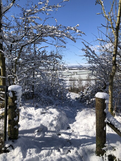
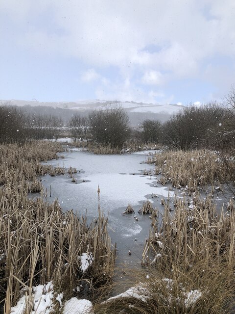
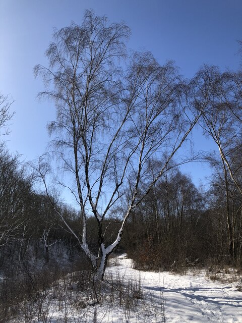
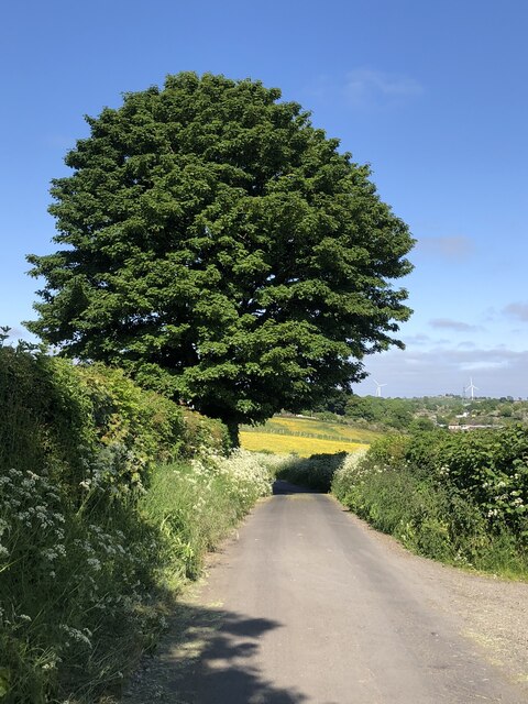
Kelloe Plantation Images

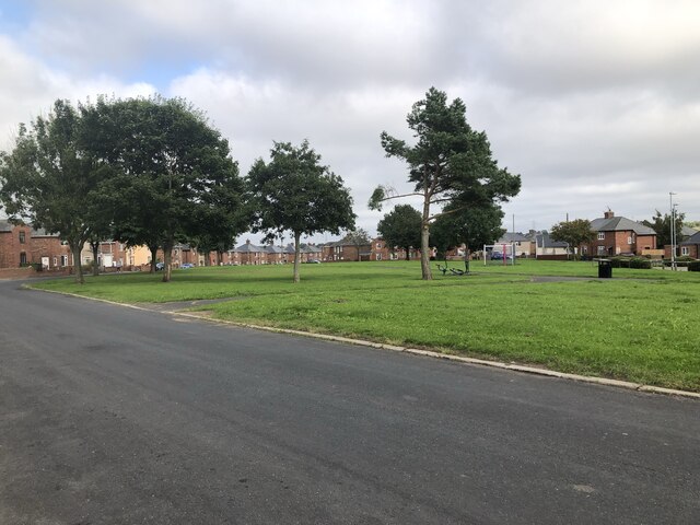
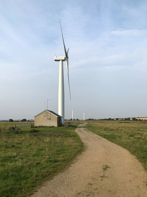
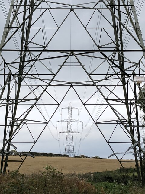
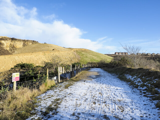
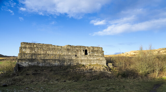
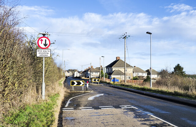
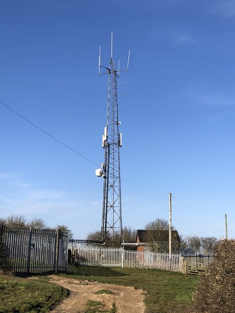
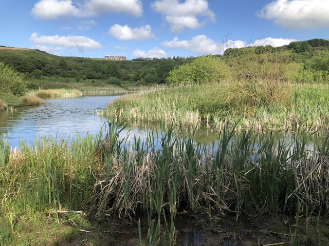
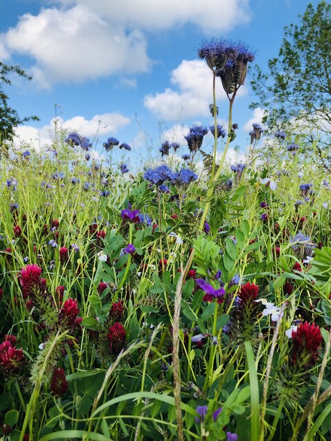
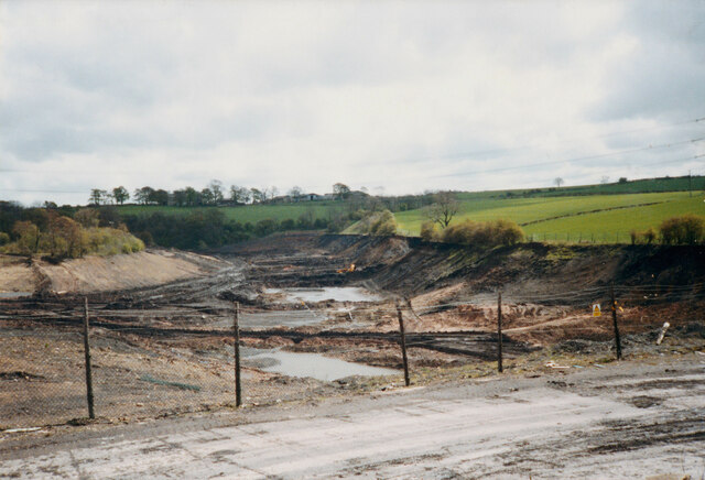
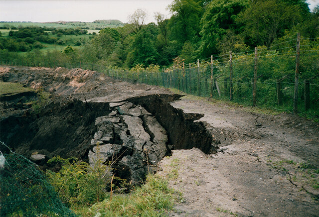
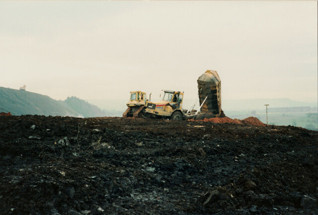
Images are sourced within 2km of 54.726403/-1.4589204 or Grid Reference NZ3436. Thanks to Geograph Open Source API. All images are credited.

Park Area, Kelloe Green space providing a park area on Woodland Crescent, Kelloe.
Park Area, Kelloe
Green space providing a park area on Woodland Crescent, Kelloe.
Trimdon Grange Wind Farm Developed by EDF and commissioned in 2008. The small wind farm has 4 turbines that have a total capacity of 5.2 MW.
Trimdon Grange Wind Farm
Developed by EDF and commissioned in 2008. The small wind farm has 4 turbines that have a total capacity of 5.2 MW.
Pylons & Power Lines
Bridleway heading towards Quarrington Hill The bridleway, presumably an old industrial / mining route, connects Old Quarrington with Quarrington Hill. The route is in use a s a bridleway which has replaced another bridleway route running above to the left. That is now a private road used for quarry access by the Tarmac company.
OS mapping has not, (January 2022), caught up with the changed route situation; an explanation is given here: <a title="https://www.geograph.org.uk/photo/7063932" href="https://www.geograph.org.uk/photo/7063932">Link</a> .
Bridleway heading towards Quarrington Hill
The bridleway, presumably an old industrial / mining route, connects Old Quarrington with Quarrington Hill. The route is in use a s a bridleway which has replaced another bridleway route running above to the left. That is now a private road used for quarry access by the Tarmac company. OS mapping has not, (January 2022), caught up with the changed route situation; an explanation is given here: Link .
Industrial ruin in Crow Trees Nature Reserve This might be the remains of an engine house mentioned in the County Durham leaflet about the Crow Trees Reserve but it's made largely from coarse concrete and the document talks of, "using stonework".
Whatever the case, it's clearly an old industrial feature, presumably from coal mining or earlier quarrying operations. Quarrying still goes on nearby; distantly, to the right of the ruin, there's an active quarry in view.
Industrial ruin in Crow Trees Nature Reserve
This might be the remains of an engine house mentioned in the County Durham leaflet about the Crow Trees Reserve but it's made largely from coarse concrete and the document talks of, "using stonework". Whatever the case, it's clearly an old industrial feature, presumably from coal mining or earlier quarrying operations. Quarrying still goes on nearby; distantly, to the right of the ruin, there's an active quarry in view.
Traffic calming measures at Quarrington Hill The B6291 approaching Quarrington Hill from the south-west where there's a chicane and a priority arrangement for traffic entering and leaving the village.
Traffic calming measures at Quarrington Hill
The B6291 approaching Quarrington Hill from the south-west where there's a chicane and a priority arrangement for traffic entering and leaving the village.
Mast On Beacon Hill
Mast On Beacon Hill
Ponds at Crowtrees Local Nature Reserve On the site of a former colliery, closed late 19th century, that supplied coal to local iron works at Cornforth.
Ponds at Crowtrees Local Nature Reserve
On the site of a former colliery, closed late 19th century, that supplied coal to local iron works at Cornforth.
Wild flowers in arable field, Kelloe
East Hetton Colliery Land Reclamation, Co. Durham Removal of the coal slurry waste from the bottom of Kelloe Valley.
During coal mining operations prior to 1983 at East Hetton Colliery, a dam had been constructed across the valley to retain and store the coal slurry waste that was produced from the coal washing plant.
The reclamation works required the removal of the slurry from the valley, transporting it, and mixing it with the red shale of the pit heap to remodel the contours of the existing landscape.
<a href="https://www.geograph.org.uk/photo/7341908">NZ3437 : East Hetton Colliery Land Reclamation, Co. Durham</a>
<a href="https://www.geograph.org.uk/photo/7340306">NZ3436 : East Hetton Colliery Land Reclamation, Co. Durham</a>
East Hetton Colliery Land Reclamation, Co. Durham
Removal of the coal slurry waste from the bottom of Kelloe Valley. During coal mining operations prior to 1983 at East Hetton Colliery, a dam had been constructed across the valley to retain and store the coal slurry waste that was produced from the coal washing plant. The reclamation works required the removal of the slurry from the valley, transporting it, and mixing it with the red shale of the pit heap to remodel the contours of the existing landscape. NZ3437 : East Hetton Colliery Land Reclamation, Co. Durham NZ3436 : East Hetton Colliery Land Reclamation, Co. Durham
East Hetton Colliery Land Reclamation, Co. Durham Progress photograph of land reclamation works in May 1991.
The image shows the removal of the coal slurry from the Kelloe Valley. The slurry coal waste fill was very unstable and contained pockets of water which if disturbed could result in the sudden collapse of the vertical face of the slurry. A crust would form on the top surface of the slurry and it would appear to be solid, yet beneath it was like a blancmange unable to support construction plant or persons walking on it. Temporary shale berms or temporary access roads had to be constructed to allow plant and equipment to access the slurry and remove it.
<a href="https://www.geograph.org.uk/photo/7341908">NZ3437 : East Hetton Colliery Land Reclamation, Co. Durham</a>
<a href="https://www.geograph.org.uk/photo/7338657">NZ3536 : East Hetton Colliery Land Reclamation, Co. Durham</a>
East Hetton Colliery Land Reclamation, Co. Durham
Progress photograph of land reclamation works in May 1991. The image shows the removal of the coal slurry from the Kelloe Valley. The slurry coal waste fill was very unstable and contained pockets of water which if disturbed could result in the sudden collapse of the vertical face of the slurry. A crust would form on the top surface of the slurry and it would appear to be solid, yet beneath it was like a blancmange unable to support construction plant or persons walking on it. Temporary shale berms or temporary access roads had to be constructed to allow plant and equipment to access the slurry and remove it. NZ3437 : East Hetton Colliery Land Reclamation, Co. Durham NZ3536 : East Hetton Colliery Land Reclamation, Co. Durham
East Hetton Colliery Land Reclamation, Co. Durham A construction progress photograph taken of the land reclamation works during November 1990.
Shale is being transported and deposited by articulated dump truck and spread by dozer during fill operations to remodel the contours of the former pit heap at East Hetton Colliery.
An excavator can be seen on the top of the pit heap excavating and loading shale into the dump trucks.
<a href="https://www.geograph.org.uk/photo/7340306">NZ3436 : East Hetton Colliery Land Reclamation, Co. Durham</a>
<a href="https://www.geograph.org.uk/photo/7338657">NZ3536 : East Hetton Colliery Land Reclamation, Co. Durham</a>
East Hetton Colliery Land Reclamation, Co. Durham
A construction progress photograph taken of the land reclamation works during November 1990. Shale is being transported and deposited by articulated dump truck and spread by dozer during fill operations to remodel the contours of the former pit heap at East Hetton Colliery. An excavator can be seen on the top of the pit heap excavating and loading shale into the dump trucks. NZ3436 : East Hetton Colliery Land Reclamation, Co. Durham NZ3536 : East Hetton Colliery Land Reclamation, Co. Durham
Snow covered footpath at Crowtrees nature Reserve
Snow shower at Crowtrees ponds
Snow covered Silver Birch
Lane beside East House Farm
Quarrington Hill from Little Wood nature reserve Former mining/pit workings turned into woodland and nature reserves.
Quarrington Hill from Little Wood nature reserve
Former mining/pit workings turned into woodland and nature reserves.
Hawthorn hedge with berries A mass of red berries meant there was plenty of bird life including Fieldfares, Redwing, Chaffinch and Bull finches.
Hawthorn hedge with berries
A mass of red berries meant there was plenty of bird life including Fieldfares, Redwing, Chaffinch and Bull finches.
Show me another place!

Kelloe Plantation is located at Grid Ref: NZ3436 (Lat: 54.726403, Lng: -1.4589204)

Unitary Authority: County Durham

Police Authority: Durham

What 3 Words

///salads.cabs.lock. Near Kelloe, Co. Durham

Related Wikis

Kelloe

Kelloe is a village and civil parish in County Durham, England. The population of the civil parish as taken at the 2011 Census was 1,502. It is situated...

Town Kelloe

Town Kelloe is a small village in County Durham, in England. It is situated a short distance to the east of Kelloe. == References == == External links... ==

Town Kelloe Bank

Town Kelloe Bank is a Site of Special Scientific Interest in County Durham, England. It is situated to the south of The Bottoms SSSI and just north of...

Quarrington Hill Grasslands

Quarrington Hill Grasslands is a Site of Special Scientific Interest in County Durham, England. The site consists of three separate areas, two closely...

Nearby Amenities

Located within 500m of 54.726403,-1.4589204
Barrier: stile
Ele: 113.8
Lat/Long: 54.7239711/-1.4625297
Barrier: stile
Ele: 112.36
Lat/Long: 54.7249881/-1.4627393
Bus Stop
Road End
Naptan AtcoCode: 13005145B
Naptan Bearing: NE
Naptan CommonName: Road End
Naptan Indicator: north east bound
Naptan Landmark: Landmark not known
Naptan NaptanCode: durdjamd
Naptan Notes: Kelloe- near St. Helens VillaClose to the intersection between road to Cassop and to Kelloe.
Naptan Street: Unclassified Road Kelloe to Town to Kelloe
Naptan Verified: no
Source: naptan_import
Lat/Long: 54.7233897/-1.4578436
Power: tower
Lat/Long: 54.7237591/-1.4570743
Power: tower
Lat/Long: 54.7276059/-1.4547649
Barrier: entrance
Lat/Long: 54.7300244/-1.4613106
Power: pole
Lat/Long: 54.7306322/-1.4583868
Power: pole
Lat/Long: 54.7300731/-1.4578329
Power: pole
Lat/Long: 54.729538/-1.4572884
Power: pole
Lat/Long: 54.7289835/-1.4567077
East Hetton Colliery
Alt Name: Kelloe Colliery
Archaeological Site: industrial
Historic: archaeological_site
Website: http://www.dmm.org.uk/colliery/e003.htm
Lat/Long: 54.7270056/-1.4637888
The data included in this document is from www.openstreetmap.org. The data is made available under ODbL.

Have you been to Kelloe Plantation?

Leave your review of Kelloe Plantation below (or comments, questions and feedback).