The Warren
Wood, Forest in Oxfordshire West Oxfordshire
England
The Warren

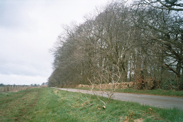
The Warren, located in Oxfordshire, is a picturesque woodland area known for its natural beauty and rich biodiversity. Covering an area of approximately 100 acres, this forested region offers a tranquil escape from the hustle and bustle of city life.
The Warren is characterized by its dense canopy of deciduous and coniferous trees, creating a cool and shaded environment even during the warm summer months. The woodland is predominantly composed of oak, beech, and pine trees, which provide a habitat for a wide variety of wildlife.
Visitors to The Warren can enjoy exploring the numerous walking trails that wind through the forest, offering stunning views of the surrounding countryside. The paths are well-maintained, making them accessible for people of all ages and abilities.
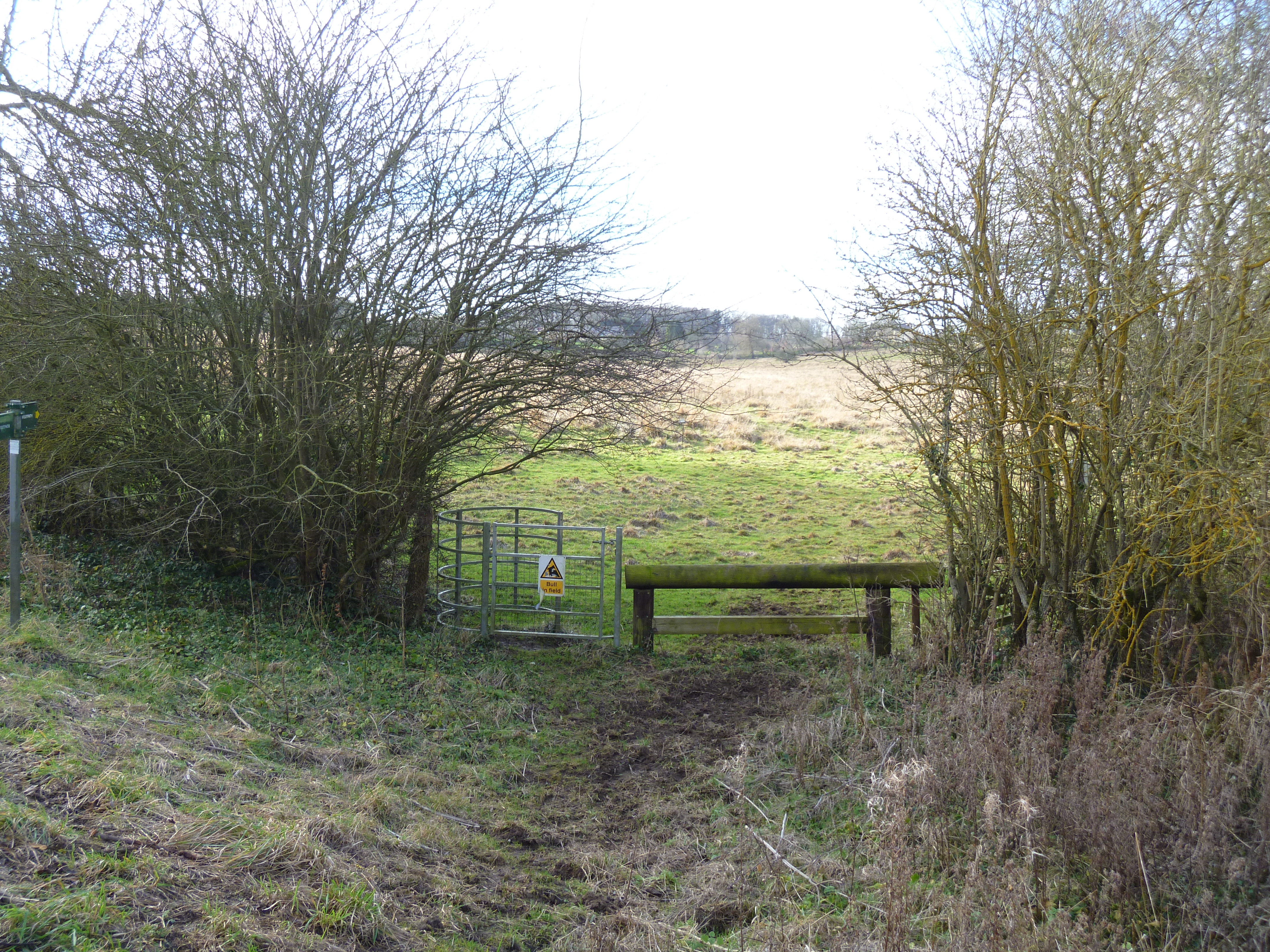
Wildlife enthusiasts will be delighted by the diverse range of animals that call The Warren home. From deer and foxes to squirrels and birds, there is always something to spot while wandering through the woods. The area is also home to several rare and endangered species, making it an important conservation site.
Camping facilities are available for those who wish to spend a night under the stars, allowing visitors to truly immerse themselves in the natural surroundings. Additionally, picnic areas and designated barbecue spots are scattered throughout the forest, providing the perfect setting for a family day out.
Overall, The Warren offers a serene and enchanting escape into nature, providing visitors with the opportunity to relax, explore, and appreciate the beauty of Oxfordshire's woodlands.
If you have any feedback on the listing, please let us know in the comments section below.
The Warren Images
Images are sourced within 2km of 51.950122/-1.4950839 or Grid Reference SP3428. Thanks to Geograph Open Source API. All images are credited.


The Warren is located at Grid Ref: SP3428 (Lat: 51.950122, Lng: -1.4950839)
Administrative County: Oxfordshire
District: West Oxfordshire
Police Authority: Thames Valley
What 3 Words
///various.business.reception. Near Chipping Norton, Oxfordshire
Nearby Locations
Related Wikis
Heythrop
Heythrop is a village and civil parish just over 2 miles (3 km) east of Chipping Norton, Oxfordshire. The parish includes the hamlet of Dunthrop. The 2001...

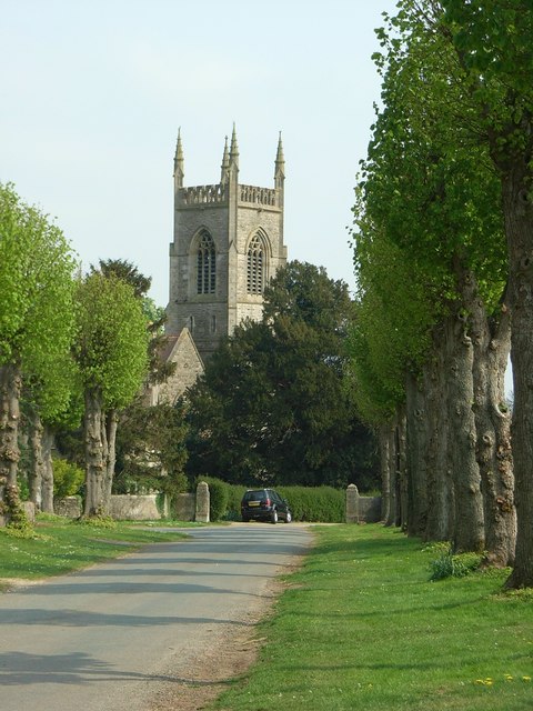
Heythrop Park
Heythrop Park is a Grade II* listed early 18th-century country house 1 mile (1.6 km) southeast of Heythrop in Oxfordshire. It was designed by the architect...

Old Chalford
Old Chalford is a hamlet in Enstone civil parish, about 2 miles (3 km) east of Chipping Norton, Oxfordshire. Old Chalford is on the River Glyme, which...

Glyme Valley
Glyme Valley is a 28.9-hectare (71-acre) biological Site of Special Scientific Interest east of Chipping Norton in Oxfordshire. An area of 3 hectares...
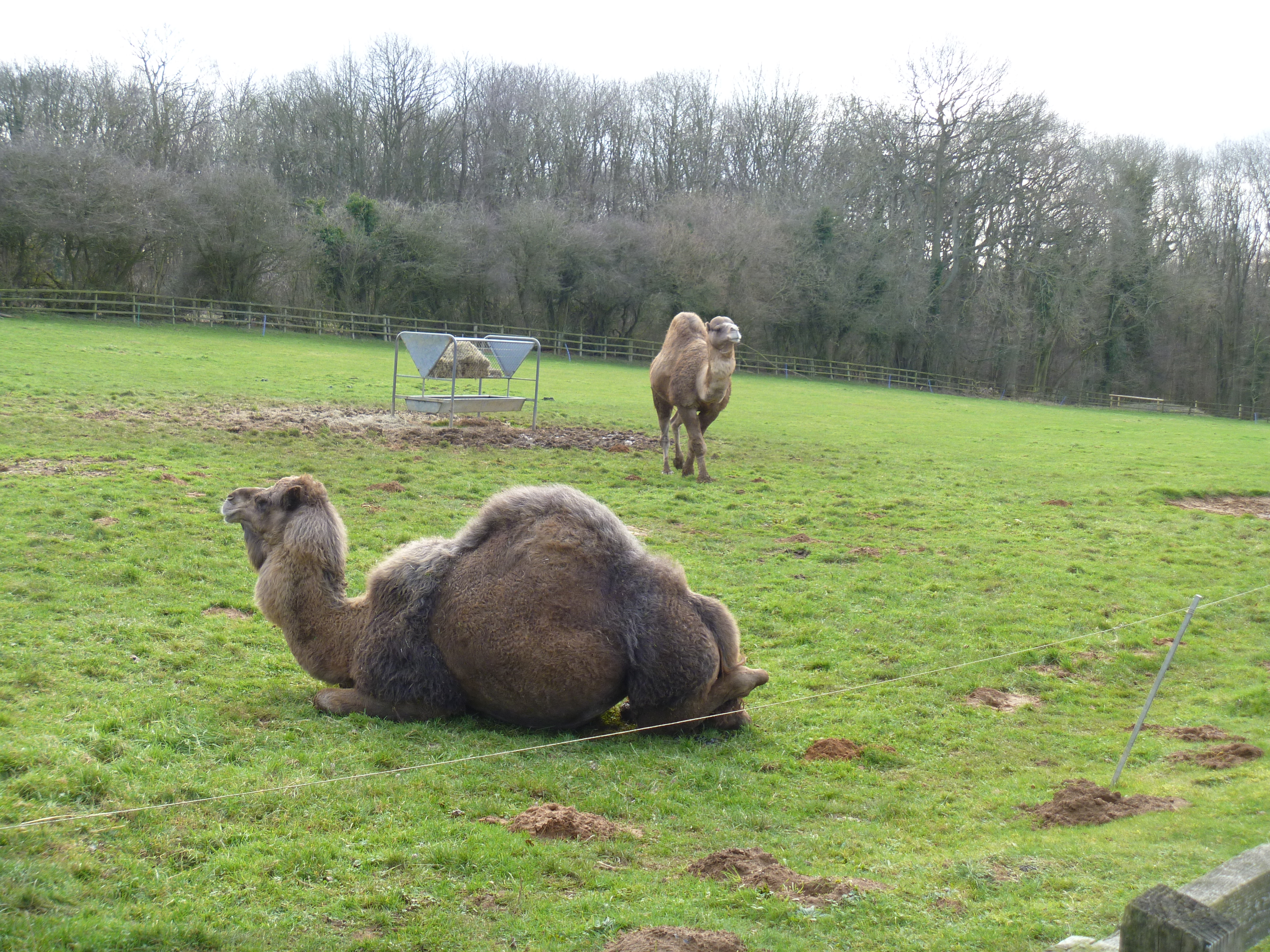
Heythrop Zoological Gardens
Heythrop Zoological Gardens is a private zoo and animal training centre in Heythrop, near Chipping Norton, Oxfordshire. The zoo has the largest private...
Little Tew Meadows
Little Tew Meadows is a 40-hectare (99-acre) biological Site of Special Scientific Interest east of Chipping Norton in Oxfordshire.This site is composed...
Over Norton Park
Over Norton Park is a farm of 210 acres (85 ha) at Over Norton, lying to the north of Chipping Norton, in the Cotswolds, Oxfordshire, England. It has been...
Holy Trinity Church, Chipping Norton
Holy Trinity Church is a historic Catholic parish church in Chipping Norton, Oxfordshire, England. It is situated on the London road in the centre of the...
Nearby Amenities
Located within 500m of 51.950122,-1.4950839Have you been to The Warren?
Leave your review of The Warren below (or comments, questions and feedback).