Bilberry Wood

Wood, Forest in Derbyshire Amber Valley

England

Bilberry Wood

Crich, St. Mary's Church: War memorial plaque affixed to the entrance gates
Crich, St. Mary's Church: War memorial plaque affixed to the entrance gates Credit: Michael Garlick

Bilberry Wood, located in Derbyshire, is a picturesque woodland area that covers an expansive area of lush greenery and diverse wildlife. The wood is nestled within the Peak District National Park, making it an ideal destination for nature enthusiasts and hikers.

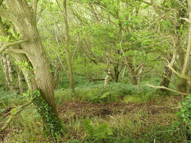
The wood is primarily composed of birch trees, oak trees, and a variety of shrubs and ferns, creating a dense and vibrant canopy. Its name originates from the abundance of bilberry bushes that grow throughout the wood, providing a rich food source for both animals and humans.

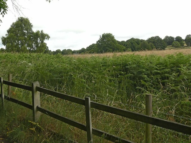
Bilberry Wood boasts a network of well-maintained walking trails that wind through the forest, offering visitors the opportunity to explore its enchanting surroundings. The trails vary in difficulty, catering to both casual walkers and experienced hikers. Along the way, visitors can expect to encounter a diverse range of wildlife, including deer, foxes, rabbits, and a multitude of bird species.

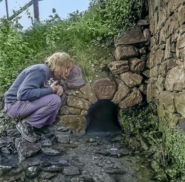
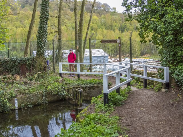
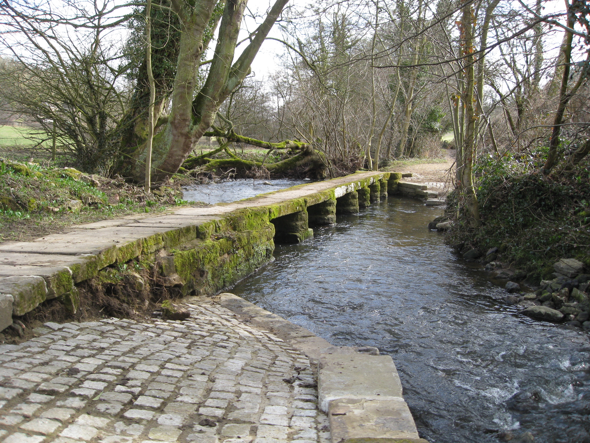
The wood is also home to a small stream that meanders through the forest, adding a tranquil ambiance to the overall atmosphere. The stream is a popular spot for picnics and relaxation, as well as a refreshing place for wildlife to drink and bathe.

Due to its location within the Peak District, Bilberry Wood offers breathtaking views of the surrounding countryside, with rolling hills and sweeping panoramic vistas. The wood is particularly captivating during the autumn months when the trees showcase a spectacular display of vibrant colors.

Overall, Bilberry Wood is a natural gem within Derbyshire, offering visitors a peaceful retreat into nature, filled with stunning scenery, diverse wildlife, and a sense of tranquility.

If you have any feedback on the listing, please let us know in the comments section below.

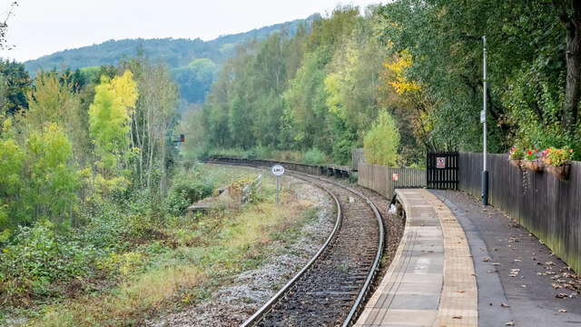
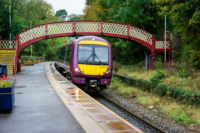
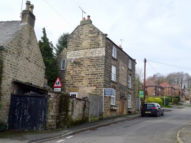
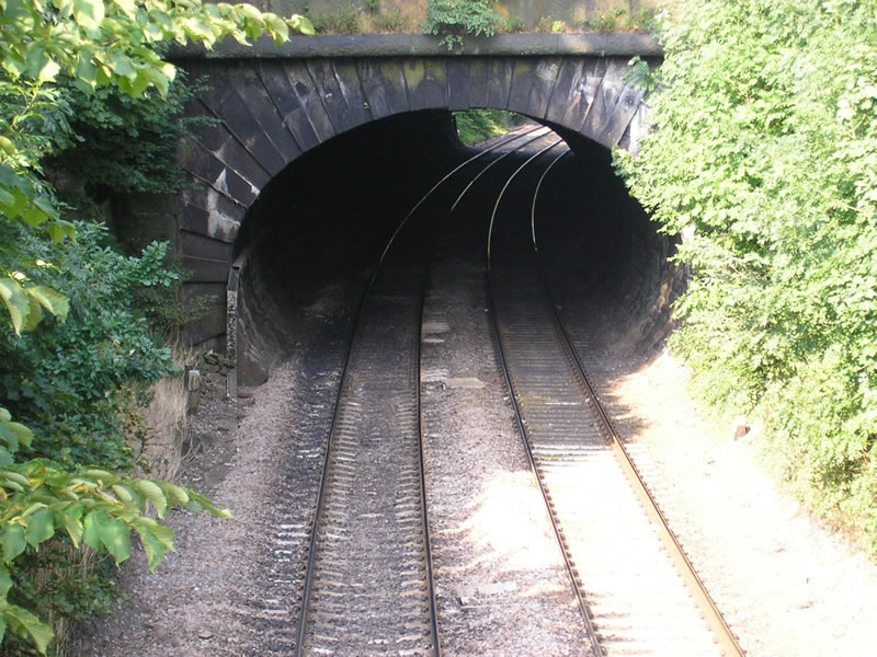
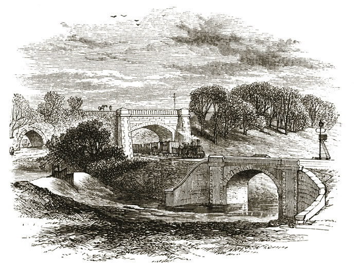
Bilberry Wood Images

Images are sourced within 2km of 53.069908/-1.484853 or Grid Reference SK3452. Thanks to Geograph Open Source API. All images are credited.

Crich, St. Mary's Church: War memorial plaque affixed to the entrance gates
Crich, Cromford Road
North end of Ambergate Station
Derby bound service arriving at Whatstandwell Station
Crich Tramway Village, Great Exhibition Hall: 'Century of Trams Exhibition', 1860s to 1960s 8
Crich village centre
The former Shoulder of Mutton The Shoulder of Mutton closed down in 1971 and is now a house.
The former Shoulder of Mutton
The Shoulder of Mutton closed down in 1971 and is now a house.
The Great British Car Journey A car museum that opened in May 2021. The museum's exhibits consist of over 130 cars that illustrate the history of British car design and production between 1922 and the present day. The museum occupies a 4-acre site of a former wire works.
The Great British Car Journey
A car museum that opened in May 2021. The museum's exhibits consist of over 130 cars that illustrate the history of British car design and production between 1922 and the present day. The museum occupies a 4-acre site of a former wire works.
The Great British Car Journey - entrance A car museum that opened in May 2021. The museum's exhibits consist of over 130 cars that illustrate the history of British car design and production between 1922 and the present day. The museum occupies a 4-acre site of a former wire works.
The Great British Car Journey - entrance
A car museum that opened in May 2021. The museum's exhibits consist of over 130 cars that illustrate the history of British car design and production between 1922 and the present day. The museum occupies a 4-acre site of a former wire works.
Whatstandwell railway station A class 170 Turbostar diesel multiple unit operated by East Midlands Railway is departing for Matlock.
Whatstandwell railway station
A class 170 Turbostar diesel multiple unit operated by East Midlands Railway is departing for Matlock.
Tail of Crich Sough (Fritchley Level), which drained the Old End Mine This drainage adit, or sough, was driven to unwater the Hollins Sough lead mines at Crich and ultimately drained the very deep Old End mine, entering its shaft 420 feet from the surface. Of the mine, nothing now remains but the outfall of its adit, with the keystone bearing the date of 1753, which can still be found in the bank side of the brook, approximately 2 miles south-south west, at Fritchley.
Tail of Crich Sough (Fritchley Level), which drained the Old End Mine
This drainage adit, or sough, was driven to unwater the Hollins Sough lead mines at Crich and ultimately drained the very deep Old End mine, entering its shaft 420 feet from the surface. Of the mine, nothing now remains but the outfall of its adit, with the keystone bearing the date of 1753, which can still be found in the bank side of the brook, approximately 2 miles south-south west, at Fritchley.
End of Cromford Canal Before the construction of various works at this location, the canal ran through a short tunnel and then crossed both the main Derby to Sheffield railway line and the A610 road via a long and interesting aqueduct which has now been demolished. Nowadays, this waterway terminates here and is crossed by a diversionary footpath with a run off sluice.
End of Cromford Canal
Before the construction of various works at this location, the canal ran through a short tunnel and then crossed both the main Derby to Sheffield railway line and the A610 road via a long and interesting aqueduct which has now been demolished. Nowadays, this waterway terminates here and is crossed by a diversionary footpath with a run off sluice.
Fields below Chadwick Nick Looking north west. The deep-cut Derwent valley is totally lost from view in this landscape.
Fields below Chadwick Nick
Looking north west. The deep-cut Derwent valley is totally lost from view in this landscape.
Fields to West of Chadwick Nick Recreating this 'First' for the square <a title="https://www.geograph.org.uk/photo/16558" href="https://www.geograph.org.uk/photo/16558">Link</a>
Fields to West of Chadwick Nick
Recreating this 'First' for the square Link
Crich Chase Woodland on the steep side of the valley of the River Derwent. This is designated an SSSI; the designation includes the following comments: “The majority of the site supports an extensive area of ancient semi-natural woodland forming one
of the largest and most structurally diverse semi-natural woodlands remaining in the Derwent
valley of Derbyshire and of interest being on the upland fringes of the Peak District. . . The uppermost slopes of the Chase are characterised by more open woodland stands on thinner
soils, dominated by silver birch with scattered oak and occasionally sycamore and young rowan
Sorbus aucuparia.” This view is a good example of the latter section.
Crich Chase
Woodland on the steep side of the valley of the River Derwent. This is designated an SSSI; the designation includes the following comments: “The majority of the site supports an extensive area of ancient semi-natural woodland forming one of the largest and most structurally diverse semi-natural woodlands remaining in the Derwent valley of Derbyshire and of interest being on the upland fringes of the Peak District. . . The uppermost slopes of the Chase are characterised by more open woodland stands on thinner soils, dominated by silver birch with scattered oak and occasionally sycamore and young rowan Sorbus aucuparia.” This view is a good example of the latter section.
Crich Junior School Recreating this 'First' for the square <a title="https://www.geograph.org.uk/photo/211835" href="https://www.geograph.org.uk/photo/211835">Link</a>
Crich Junior School
Recreating this 'First' for the square Link
Crich Wesley Methodist Church Recreating this 'First' for the square <a title="https://www.geograph.org.uk/photo/211821" href="https://www.geograph.org.uk/photo/211821">Link</a> . Even less of the chapel is now visible from this viewpoint than it was then!
Crich Wesley Methodist Church
Recreating this 'First' for the square Link . Even less of the chapel is now visible from this viewpoint than it was then!
Show me another place!

Bilberry Wood is located at Grid Ref: SK3452 (Lat: 53.069908, Lng: -1.484853)

Administrative County: Derbyshire

District: Amber Valley

Police Authority: Derbyshire

What 3 Words

///styled.daffodils.kiosk. Near Heage, Derbyshire

Related Wikis

Nearby Amenities

Located within 500m of 53.069908,-1.484853
Bench
Lat/Long: 53.0665621/-1.4894316
Bus Stop
Bus: yes
Public Transport: platform
Lat/Long: 53.0672157/-1.4907827
Bench
Lat/Long: 53.0674084/-1.4802794
Barrier: stile
Stile: squeezer
Lat/Long: 53.0674358/-1.4802742
Bench
Lat/Long: 53.0674479/-1.4802386
Bench
Lat/Long: 53.0672697/-1.4902424
Barrier: entrance
Source: survey;gps
Lat/Long: 53.0683087/-1.4831278
The data included in this document is from www.openstreetmap.org. The data is made available under ODbL.

Have you been to Bilberry Wood?

Leave your review of Bilberry Wood below (or comments, questions and feedback).