Hawknest Copse

Wood, Forest in Oxfordshire West Oxfordshire

England

Hawknest Copse

Direction Sign – Signpost on the B4022 in Finstock Located on the southeast side of the junction of the B4022 Charlbury Road and School Road in Finstock parish. 3 arms and annulus finial. See also <a title="https://www.geograph.org.uk/photo/1439986" href="https://www.geograph.org.uk/photo/1439986">Link</a>.

Milestone Society National ID: OX_SP3616
Direction Sign – Signpost on the B4022 in Finstock Credit: John V Nicholls

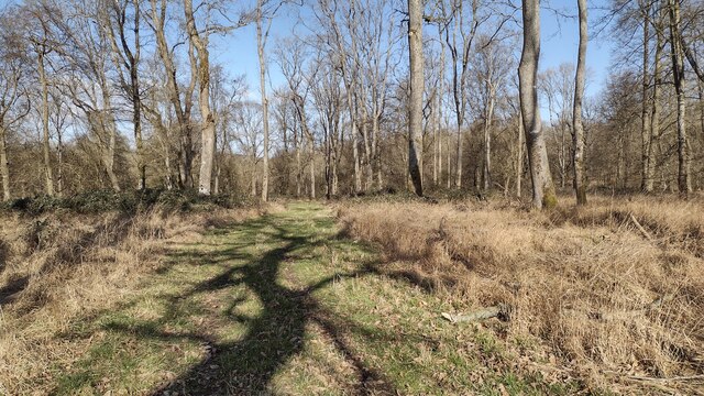
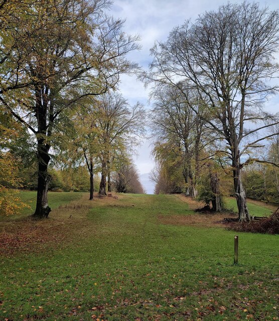
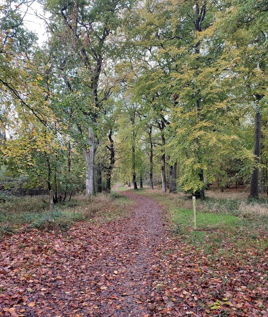
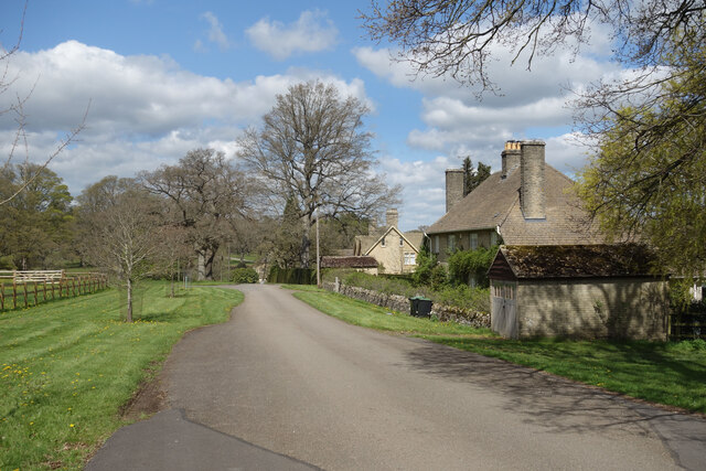
Hawknest Copse is a picturesque woodland located in Oxfordshire, England. Spanning an area of approximately 50 acres, it is a haven of natural beauty and tranquility. The copse is characterized by its dense canopy of mature trees, predominantly consisting of oak, beech, and ash species. These towering trees create a shaded and cool environment, especially during the summer months.

The forest floor of Hawknest Copse is covered in a lush carpet of vibrant green mosses, ferns, and wildflowers, adding to its enchanting ambiance. The undergrowth is teeming with a wide variety of plant species, including bluebells, primroses, and wood anemones, which paint the forest with a tapestry of colors throughout the year.

The copse is not only a haven for flora but also a thriving habitat for numerous wildlife species. It is home to a diverse range of birds such as woodpeckers, thrushes, and owls, their melodious songs filling the air. The woodland also supports a healthy population of small mammals including squirrels, badgers, and foxes.

Hawknest Copse offers visitors a peaceful retreat from the hustle and bustle of everyday life. Its well-maintained walking trails meander through the forest, allowing visitors to explore its hidden corners and discover its natural wonders. The copse is a popular destination for nature enthusiasts, hikers, and birdwatchers, who can indulge in the beauty of its surroundings and observe the wildlife in its natural habitat.

Overall, Hawknest Copse in Oxfordshire is a captivating woodland, providing a sanctuary for both flora and fauna, and offering visitors a chance to immerse themselves in the wonders of nature.

If you have any feedback on the listing, please let us know in the comments section below.

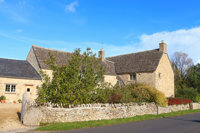
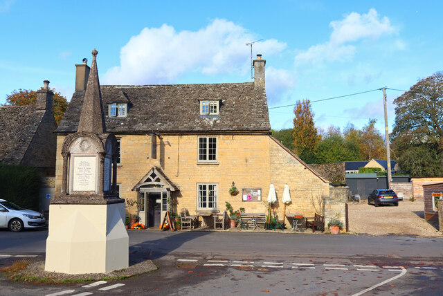
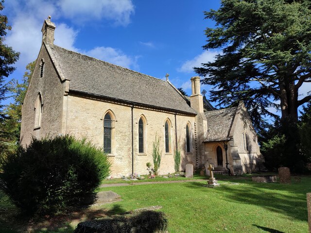
Hawknest Copse Images

Images are sourced within 2km of 51.845404/-1.5014526 or Grid Reference SP3416. Thanks to Geograph Open Source API. All images are credited.

Direction Sign – Signpost on the B4022 in Finstock Located on the southeast side of the junction of the B4022 Charlbury Road and School Road in Finstock parish. 3 arms and annulus finial. See also <a title="https://www.geograph.org.uk/photo/1439986" href="https://www.geograph.org.uk/photo/1439986">Link</a>.

Milestone Society National ID: OX_SP3616
Direction Sign – Signpost on the B4022 in Finstock
Located on the southeast side of the junction of the B4022 Charlbury Road and School Road in Finstock parish. 3 arms and annulus finial. See also Link. Milestone Society National ID: OX_SP3616
Park Farm Footpath near Finstock.
Park Farm
Footpath near Finstock.
The Plough Inn Public House in Finstock.
The Plough Inn
Public House in Finstock.
Finstock Footpath Path off High Street, Finstock.
Finstock Footpath
Path off High Street, Finstock.
Upper Farm Dwelling in Ramsden.
Upper Farm
Dwelling in Ramsden.
The Royal Oak Pub and war memorial in Ramsden.
The Royal Oak
Pub and war memorial in Ramsden.
Holy Trinity Church, Finstock
Wychwood Forest Track into Wychwood Forest
Wychwood Forest
Track into Wychwood Forest
Tower Light, Wychwood Forest This ride in Wychwood Forest is called Tower Light.
Tower Light, Wychwood Forest
This ride in Wychwood Forest is called Tower Light.
Footpath through Wychwood Forest
Church of St James, Ramsden
The Plough Inn (1), The Bottom, Finstock, Oxon Originally a house with date of 1772 and now an inn. It is the last inn or public house in the village, following the closure of The Crown just over ten years ago. This was converted into a house. The Plough Inn is a Grade II listed building.

<a href="https://www.geograph.org.uk/photo/7420831">SP3616 : The Plough Inn (2) - sign, The Bottom, Finstock, Oxon</a>.
The Plough Inn (1), The Bottom, Finstock, Oxon
Originally a house with date of 1772 and now an inn. It is the last inn or public house in the village, following the closure of The Crown just over ten years ago. This was converted into a house. The Plough Inn is a Grade II listed building. SP3616 : The Plough Inn (2) - sign, The Bottom, Finstock, Oxon.
The Plough Inn (2) - sign, The Bottom, Finstock, Oxon The sign is on a pole adjacent to the road which the inn fronts.

<a href="https://www.geograph.org.uk/photo/7420821">SP3616 : The Plough Inn (1), The Bottom, Finstock, Oxon</a>.
The Plough Inn (2) - sign, The Bottom, Finstock, Oxon
The sign is on a pole adjacent to the road which the inn fronts. SP3616 : The Plough Inn (1), The Bottom, Finstock, Oxon.
Junction of The Bottom and Well Hill, Finstock, Oxon The road coming in on the right is Well Hill.
Junction of The Bottom and Well Hill, Finstock, Oxon
The road coming in on the right is Well Hill.
Part of Finstock Village Finstock is in a valley. This is coming into the village from the east.
Part of Finstock Village
Finstock is in a valley. This is coming into the village from the east.
Lake in Cornbury Park A line of ornamental lakes has been created in the park along the course of a short tributary of the Evenlode, originating from springs in the park and the adjoining Wychwood Forest.
Lake in Cornbury Park
A line of ornamental lakes has been created in the park along the course of a short tributary of the Evenlode, originating from springs in the park and the adjoining Wychwood Forest.
Southill Park Drive A private road in Cornbury Park which is also a public footpath and cycleway. There is a small cluster of buildings here around Park Farm.
Southill Park Drive
A private road in Cornbury Park which is also a public footpath and cycleway. There is a small cluster of buildings here around Park Farm.
The end of the Lake Southill Park Drive crosses the impoundment at the lower end of the line of ornamental lakes in Cornbury Park.
The end of the Lake
Southill Park Drive crosses the impoundment at the lower end of the line of ornamental lakes in Cornbury Park.
Show me another place!

Hawknest Copse is located at Grid Ref: SP3416 (Lat: 51.845404, Lng: -1.5014526)

Administrative County: Oxfordshire

District: West Oxfordshire

Police Authority: Thames Valley

What 3 Words

///computers.gift.gripes. Near Charlbury, Oxfordshire

Related Wikis

Wychwood

Wychwood or Wychwood Forest is a 501.7-hectare (1,240-acre) biological Site of Special Scientific Interest north of Witney in Oxfordshire. It is also a...

Finstock

Finstock is a village and civil parish about 2 miles (3 km) south of Charlbury in Oxfordshire, England. The parish is bounded to the northeast by the...

Finstock railway station

Finstock railway station serves the village of Finstock and the hamlet of Fawler in Oxfordshire, England. It is some distance from Finstock itself, being...

Fawler

Fawler is a hamlet and civil parish in the valley of the River Evenlode, 1.5 miles (2.4 km) southeast of Charlbury in Oxfordshire, England. There are...

Wilcote

Wilcote is a hamlet about 3+1⁄2 miles (5.6 km) north of Witney in Oxfordshire, England. Wilcote was a hamlet of Cogges from at least the Middle Ages until...

Cornbury Park

Cornbury Park is an estate near Charlbury, Oxfordshire. It comprises about 5000 acres, mostly farmland and woods, including a remnant of the Wychwood Forest...

Leafield Castle

Leafield Castle (also known as Leafield Barrow) is a motte castle in the village of Leafield in the north west region of Oxfordshire. All that is left...

Charlbury railway station

Charlbury railway station is a railway station serving the town of Charlbury in Oxfordshire, England. This station and all trains serving it are operated...

Nearby Amenities

Located within 500m of 51.845404,-1.5014526
Hawksnest Copse
Place: locality
Lat/Long: 51.847962/-1.5046971
Fiveoak Copse
Place: locality
Lat/Long: 51.8444364/-1.5028876
Pound Bottom
Place: locality
Lat/Long: 51.8445224/-1.4992089
Patch Hill
Place: locality
Lat/Long: 51.8477655/-1.4958285
Devil's Pool Bottom
Place: locality
Lat/Long: 51.8464757/-1.4948541
Finstock Heath
Place: locality
Lat/Long: 51.8434291/-1.4955103
The data included in this document is from www.openstreetmap.org. The data is made available under ODbL.

Have you been to Hawknest Copse?

Leave your review of Hawknest Copse below (or comments, questions and feedback).