Black Wood
Wood, Forest in Durham
England
Black Wood

Black Wood is a dense forest located in the county of Durham, England. Covering an area of approximately 100 hectares, it is known for its rich wildlife and ancient woodland. The forest is primarily composed of oak and beech trees, with a variety of other native species such as birch, holly, and rowan also present.
Black Wood has a long history, with evidence of human activity dating back to the Bronze Age. It is believed that the forest was used for hunting and gathering by early settlers, and remnants of ancient trackways can still be found within its boundaries.
The woodland is home to a diverse range of flora and fauna. The forest floor is carpeted with bluebells and wild garlic in the spring, creating a picturesque landscape. Black Wood is also a haven for wildlife, with a large population of birds, including woodpeckers, owls, and various species of songbirds.
The forest is a popular destination for nature enthusiasts and hikers, offering a network of well-maintained trails that wind through its ancient trees. Visitors can enjoy peaceful walks, birdwatching, and photography in this tranquil setting. The forest is managed by a local conservation organization, which ensures its preservation and protection for future generations.
Overall, Black Wood is a cherished natural gem in the county of Durham, providing a sanctuary for both wildlife and humans alike. Its beauty, history, and biodiversity make it a significant and important part of the local landscape.
If you have any feedback on the listing, please let us know in the comments section below.
Black Wood Images
Images are sourced within 2km of 54.481441/-1.4716494 or Grid Reference NZ3409. Thanks to Geograph Open Source API. All images are credited.


Black Wood is located at Grid Ref: NZ3409 (Lat: 54.481441, Lng: -1.4716494)
Unitary Authority: Darlington
Police Authority: Durham
What 3 Words
///cries.legs.gathering. Near Hurworth, Co. Durham
Nearby Locations
Related Wikis

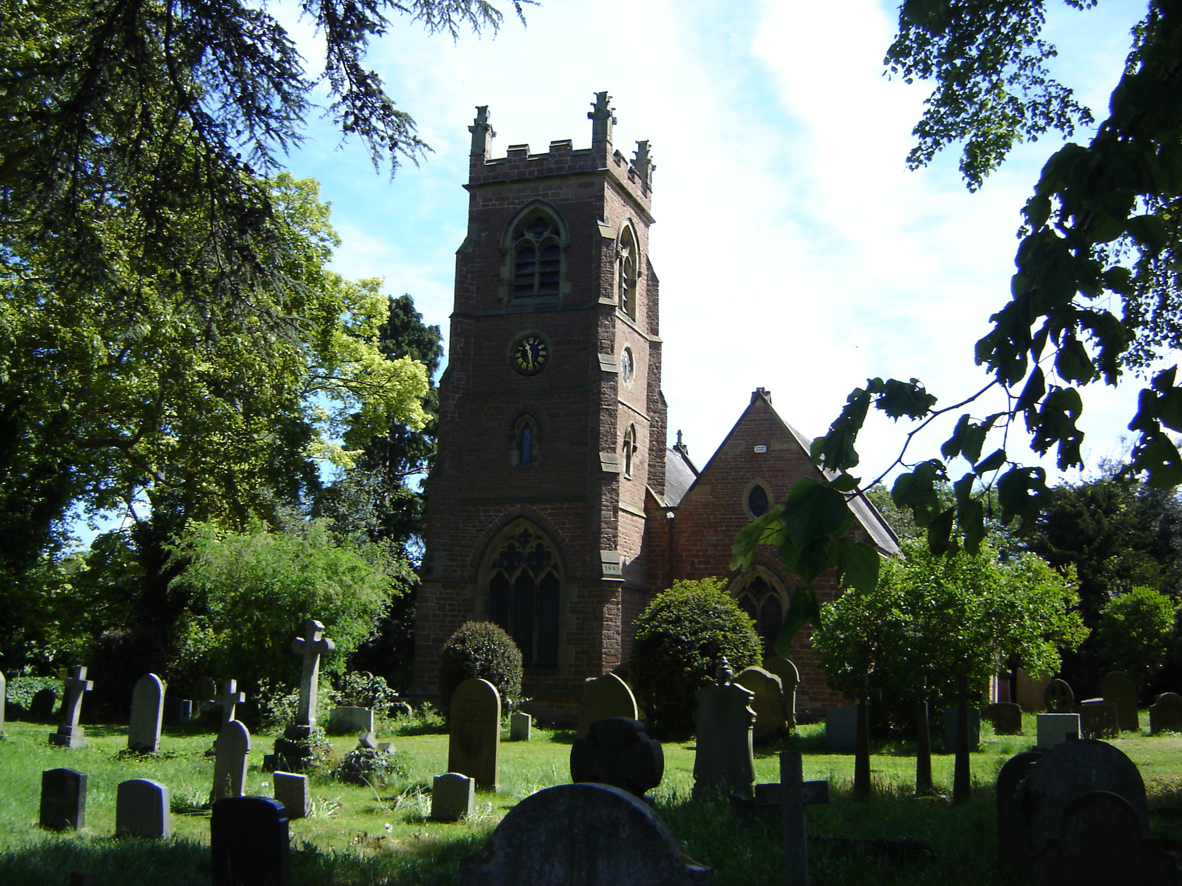
Low Dinsdale Manor
Low Dinsdale Manor is a privately owned, much altered, and extended medieval moated fortified manor house situated on the north bank of the River Tees...
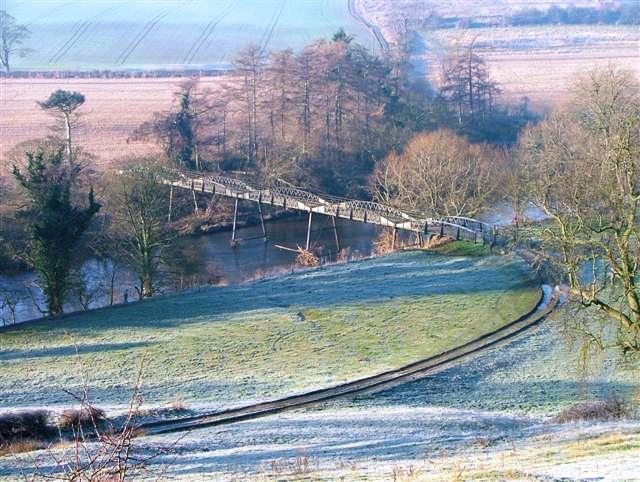
Low Dinsdale
Low Dinsdale is a village and former civil parish, now in the parish of Neasham, in the borough of Darlington and the ceremonial county of Durham, England...

Neasham
Neasham is a village approximately four miles to the south east of Darlington in County Durham, England. == Geography and recreation == The village sits...
Croft Rural District
Croft was a rural district in the North Riding of Yorkshire from 1894 to 1974. It was created under the Local Government Act 1894 from that part of the...
Girsby
Girsby is a village and civil parish in the former Hambleton District of North Yorkshire, England. The village lies on high ground on the eastern bank...

Over Dinsdale
Over Dinsdale is a small village and civil parish in the former Local Government District of Hambleton in North Yorkshire, England. The population of the...
Neasham Priory
Neasham Priory is a priory founded for a community of Benedictine nuns before 1157. Located on the River Tees near Sockburn, County Durham, it was the...
Neasham Fen
Neasham Fen is a Site of Special Scientific Interest in the Darlington district of County Durham, England. It lies on the floodplain of the River Tees...
Related Videos

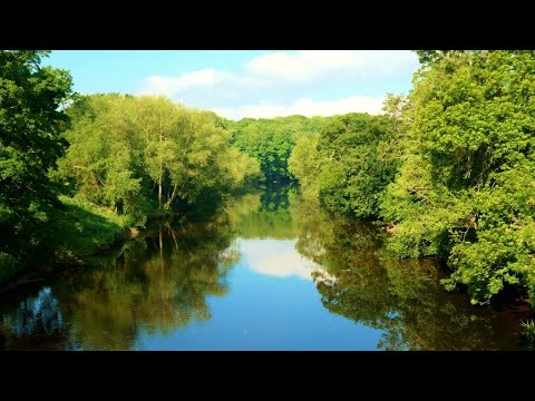
~ Walking The Teesdale Way ~ Low Dinsdale Church to Newsham Corner ~ A Short Film ~
Walking The Teesdale Way ~ Low Dinsdale Church to Newsham Corner ~ A Short Film ~ Don't forget to “Subscribe” to my ...

Exploring the Charm of the England's countryside: A Journey Through Neasham
Neasham is a small village situated in the county of Durham, in the North East of England. It is known for its picturesque ...

Middleton Saint George.
Sunny bank holiday in may 2023 first flight with DJI mavic mini.
Middleton One Row & The Teesdale Way - 31 May 2020
A 10 mile walk from Middleton One Row. The route follows the Teesdale Way upstream to Low Dinsdale where the route crosses ...
Nearby Amenities
Located within 500m of 54.481441,-1.4716494Have you been to Black Wood?
Leave your review of Black Wood below (or comments, questions and feedback).