Bath Plantation

Wood, Forest in Durham

England

Bath Plantation

Temple of Minerva One of the many follies in Hardwick Hall Country Park
Temple of Minerva Credit: Kevin Waterhouse

Bath Plantation is a charming woodland located in the county of Durham, England. Situated in the northeast of the country, this plantation is a part of the larger Durham Wood, which covers an extensive area of forested land.

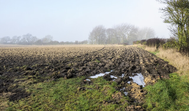
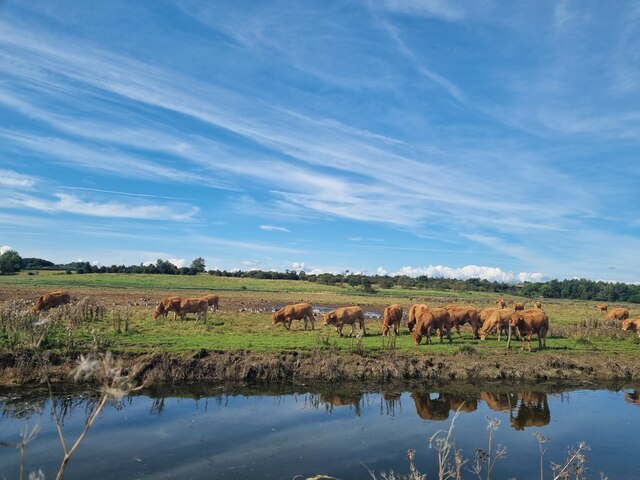
The Bath Plantation is renowned for its natural beauty and picturesque surroundings. It is home to a diverse range of flora and fauna, with a wide variety of tree species dominating the landscape, including oak, beech, and birch. These majestic trees provide a lush canopy that offers shade and shelter to the many animals that inhabit the area. The forest floor is covered in a rich carpet of moss, ferns, and wildflowers, creating a vibrant tapestry of colors throughout the seasons.

The plantation is a popular destination for nature lovers, hikers, and wildlife enthusiasts. Its well-maintained trails and paths provide ample opportunities for walking and exploring the serene surroundings. The plantation is also home to several species of birds, making it a haven for birdwatchers who can spot woodpeckers, owls, and various songbirds.

Bath Plantation offers a tranquil retreat from the hustle and bustle of city life, allowing visitors to immerse themselves in the beauty of nature. It is a place where one can unwind and reconnect with the natural world, whether it be through leisurely strolls, birdwatching, or simply enjoying a picnic amidst the serene surroundings.

Overall, Bath Plantation is a true gem within the Durham Wood, offering a peaceful and idyllic woodland experience for all who visit.

If you have any feedback on the listing, please let us know in the comments section below.

Bath Plantation Images

Images are sourced within 2km of 54.658641/-1.470501 or Grid Reference NZ3429. Thanks to Geograph Open Source API. All images are credited.

Temple of Minerva One of the many follies in Hardwick Hall Country Park
Temple of Minerva
One of the many follies in Hardwick Hall Country Park
The Gothic Seat One of the many follies in Hardwick Hall Country Park
The Gothic Seat
One of the many follies in Hardwick Hall Country Park
Sedgefield, 62 Front Street 62 Front Street is a Premier Convenience Store. The benchmark is cut into the left, north-east face of the shop.
Sedgefield, 62 Front Street
62 Front Street is a Premier Convenience Store. The benchmark is cut into the left, north-east face of the shop.
Sedgefield, 62 Front Street 62 Front Street is a Premier Convenience Store. There is a benchmark cut into the left, north-east face of the shop. The benchmark and facia of the shop is painted cream.
Sedgefield, 62 Front Street
62 Front Street is a Premier Convenience Store. There is a benchmark cut into the left, north-east face of the shop. The benchmark and facia of the shop is painted cream.
Hardwick Country Park Lake With Hardwick Hall Hotel beyond
Hardwick Country Park Lake
With Hardwick Hall Hotel beyond
Reconstructed Bono Retiro One of the many follies at Hardwick Country Park recovered
Reconstructed Bono Retiro
One of the many follies at Hardwick Country Park recovered
Trailer in field corner Despite appearing to be in reasonable condition the vehicle has probably been abandoned - its wooden bed has virtually decomposed. It's in a field corner west of the farm at Mordon Moor and is close to the route of a public footpath.
Trailer in field corner
Despite appearing to be in reasonable condition the vehicle has probably been abandoned - its wooden bed has virtually decomposed. It's in a field corner west of the farm at Mordon Moor and is close to the route of a public footpath.
Deeply furrowed field A ploughed field with its furrows frozen into place, with thin mistiness in the distance.
Deeply furrowed field
A ploughed field with its furrows frozen into place, with thin mistiness in the distance.
Buildings at Sedgefield Racecourse The stand is the farthest building; it's seen over car parking areas and various other buildings. The green building to the left is stabling.
Buildings at Sedgefield Racecourse
The stand is the farthest building; it's seen over car parking areas and various other buildings. The green building to the left is stabling.
Railway track
Railway track
The Pickled Parson
The Pickled Parson
Cattle and Geese A herd of Cattle and noisy flock of geese on the Carrs south of Bishop Middleham. Photograph taken from Fourmarts Lane.
Cattle and Geese
A herd of Cattle and noisy flock of geese on the Carrs south of Bishop Middleham. Photograph taken from Fourmarts Lane.
Sedgefield Methodist Church Sedgefield Methodist Church
Sedgefield Methodist Church
Sedgefield Church The church is dedicated to St Edmund
Sedgefield Church
The church is dedicated to St Edmund
Winterton Cottages Winterton Cottages.
Winterton Cottages
Winterton Cottages.
Hardwick Hall Hotel Hardwick Hall Hotel
Hardwick Hall Hotel
Hardwick Hall Hotel
Sedgefield Racecourse Sedgefield Racecourse - a jumps stretch, towards Sands Farm <a href="https://www.geograph.org.uk/gridref/NZ3328">NZ3328</a>. See Clement Freud's amusing account of a visit to the course in the 1960s. See <span class="nowrap"><a title="http://www.sedgefield-racecourse.co.uk/general-info/history.php" rel="nofollow ugc noopener" href="http://www.sedgefield-racecourse.co.uk/general-info/history.php">Link</a><img style="margin-left:2px;" alt="External link" title="External link - shift click to open in new window" src="https://s1.geograph.org.uk/img/external.png" width="10" height="10"/></span>
Sedgefield Racecourse
Sedgefield Racecourse - a jumps stretch, towards Sands Farm NZ3328. See Clement Freud's amusing account of a visit to the course in the 1960s. See LinkExternal link
Knotty Hill Golf Course Knotty Hill Golf Course
Knotty Hill Golf Course
Show me another place!

Bath Plantation is located at Grid Ref: NZ3429 (Lat: 54.658641, Lng: -1.470501)

Unitary Authority: County Durham

Police Authority: Durham

What 3 Words

///flashback.teachers.depending. Near Sedgefield, Co. Durham

Related Wikis

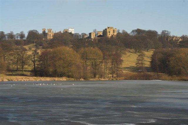
Hardwick Hall, County Durham

Hardwick Hall in Sedgefield, County Durham is a building of historical significance and is a Grade II listed building on the English Heritage Register...

Hardwick Hall Country Park

Hardwick Hall Country Park is a park located in County Durham near Sedgefield. Since 7 October 1986, it has been registered on the Register of Parks and...

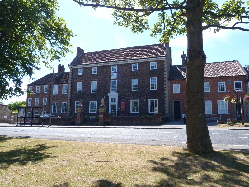
The Manor House, Sedgefield

The Manor House in Sedgefield, County Durham was built in 1707 on high ground in a country setting looking on to St. Edmund's Church as a mansion house...

Sedgefield Racecourse

Sedgefield Racecourse is an English left-handed horse racing course, used for jump racing. It is owned by Arena Racing Company and located close to the...

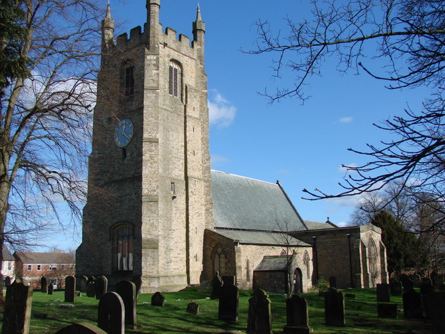
Church of St Edmund, Sedgefield

The Church of St Edmund is a Church of England parish church in Sedgefield, County Durham. The church is a Grade I listed building and dates from the 13th...

Sedgefield (borough)

Sedgefield District was, from 1974 to 2009, a local government district and (from 1996), borough in County Durham, in North East England. It had a population...

Sedgefield

Sedgefield is a market town and civil parish in County Durham, England. It had a population of 5,211 as at the 2011 census. It has the only operating racecourse...

Sedgefield Community College

Sedgefield Community College, which is in the laidlaw trust, is an coeducational secondary school located in Sedgefield in County Durham, England. ��2...

Nearby Amenities

Located within 500m of 54.658641,-1.470501
Bench
Lat/Long: 54.6571395/-1.4667888
Tourism: artwork
Lat/Long: 54.6552353/-1.4688313
Power: pole
Lat/Long: 54.6624556/-1.4721505
Power: pole
Lat/Long: 54.6624719/-1.4720714
Power: pole
Lat/Long: 54.6623656/-1.4747
Power: pole
Lat/Long: 54.6625192/-1.4709878
Power: pole
Lat/Long: 54.6625898/-1.4692417
Give Way
Lat/Long: 54.6578681/-1.4644669
Hiking: yes
Information: guidepost
Tourism: information
Lat/Long: 54.654599/-1.4734821
The data included in this document is from www.openstreetmap.org. The data is made available under ODbL.

Have you been to Bath Plantation?

Leave your review of Bath Plantation below (or comments, questions and feedback).