Dordy Flats Wood
Wood, Forest in Yorkshire Harrogate
England
Dordy Flats Wood
Dordy Flats Wood is a picturesque woodland located in the county of Yorkshire, England. Covering an area of approximately 100 acres, this ancient forest is known for its rich biodiversity and tranquil atmosphere. It is nestled within the rolling hills and valleys of the Yorkshire countryside, providing visitors with a peaceful and immersive natural experience.
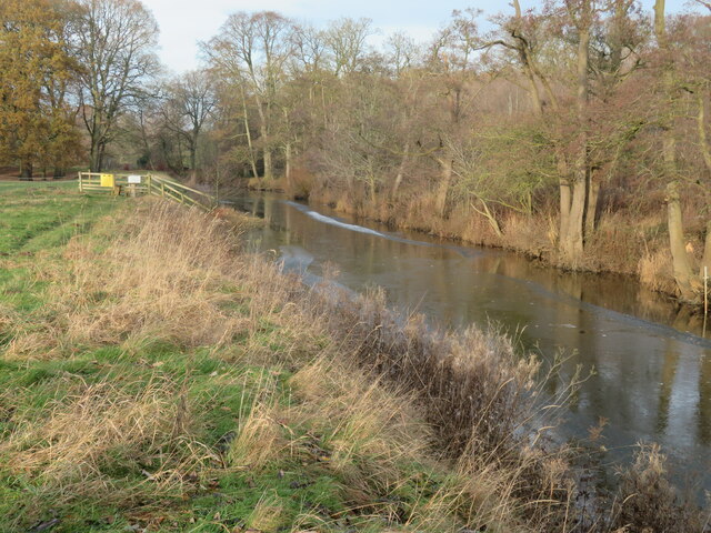
The woodland is primarily composed of broadleaf trees such as oak, beech, and ash, creating a dense canopy that filters sunlight and casts enchanting shadows on the forest floor. These towering trees provide a habitat for a diverse range of wildlife, including various bird species, small mammals, and insects.
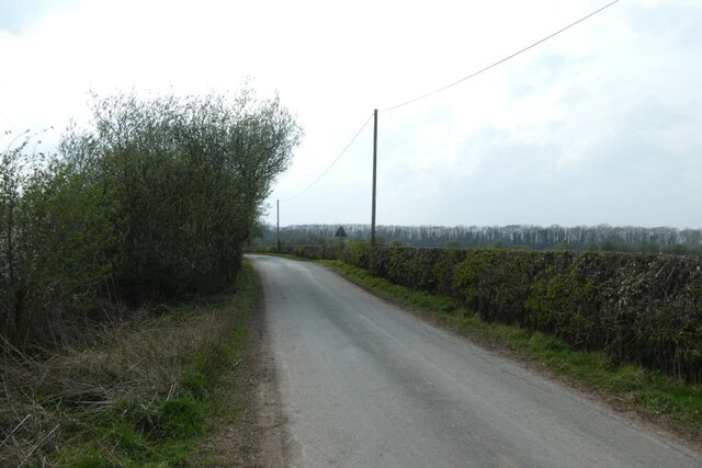
Dordy Flats Wood boasts an extensive network of walking trails, allowing visitors to explore its natural wonders at their own pace. The paths wind through the forest, offering glimpses of babbling brooks, wildflowers, and ancient moss-covered stone walls. The enchanting woodland is particularly popular during the spring and summer months when the forest floor is carpeted with bluebells and other native wildflowers.
Nature enthusiasts can enjoy birdwatching, as the woodland is home to a variety of species, including woodpeckers, thrushes, and owls. The tranquil atmosphere also makes it an ideal spot for wildlife photography and nature meditation.
Dordy Flats Wood is easily accessible, with a small parking area and nearby public transportation options. It is a hidden gem in Yorkshire, offering visitors a chance to reconnect with nature and experience the beauty of an ancient woodland.
If you have any feedback on the listing, please let us know in the comments section below.
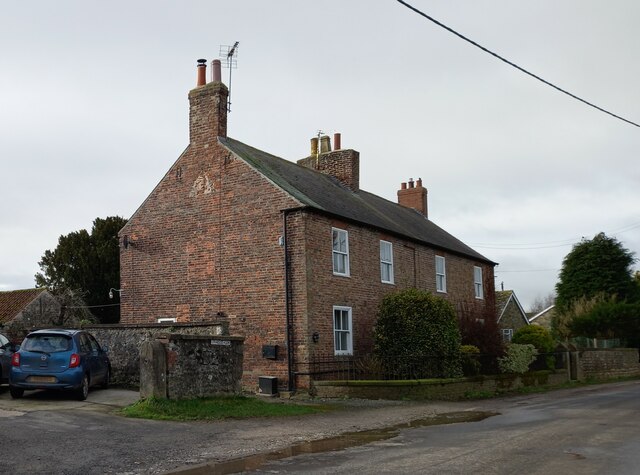
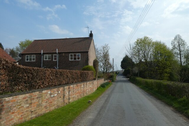
Dordy Flats Wood Images
Images are sourced within 2km of 54.098968/-1.4780337 or Grid Reference SE3467. Thanks to Geograph Open Source API. All images are credited.


Dordy Flats Wood is located at Grid Ref: SE3467 (Lat: 54.098968, Lng: -1.4780337)
Division: West Riding
Administrative County: North Yorkshire
District: Harrogate
Police Authority: North Yorkshire
What 3 Words
///music.trickster.stands. Near Boroughbridge, North Yorkshire
Nearby Locations
Related Wikis
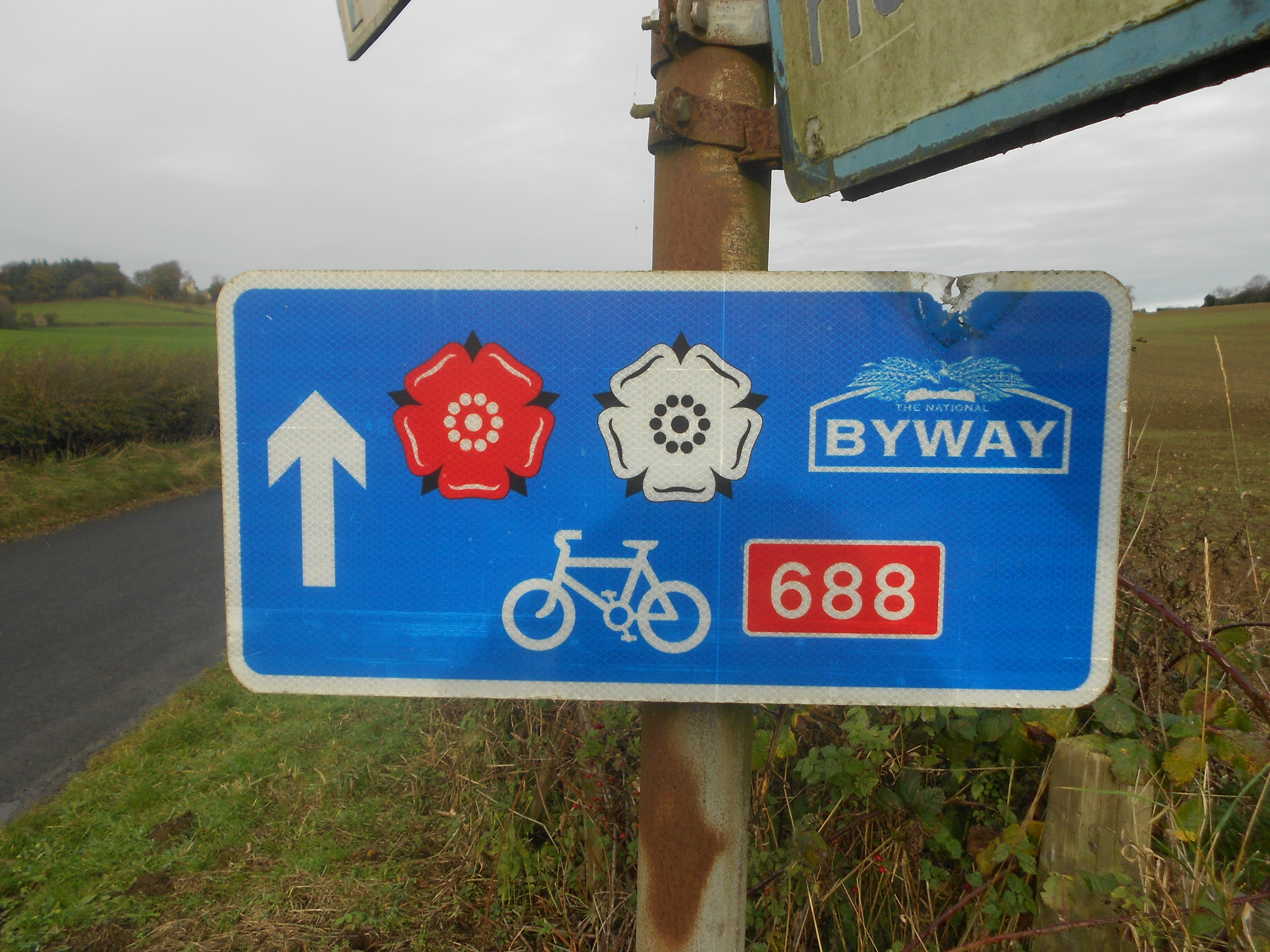
Way of the Roses
The Way of the Roses is the newest of Great Britain's coast-to-coast long-distance cycle routes and is based on minor roads, disused railway lines and...
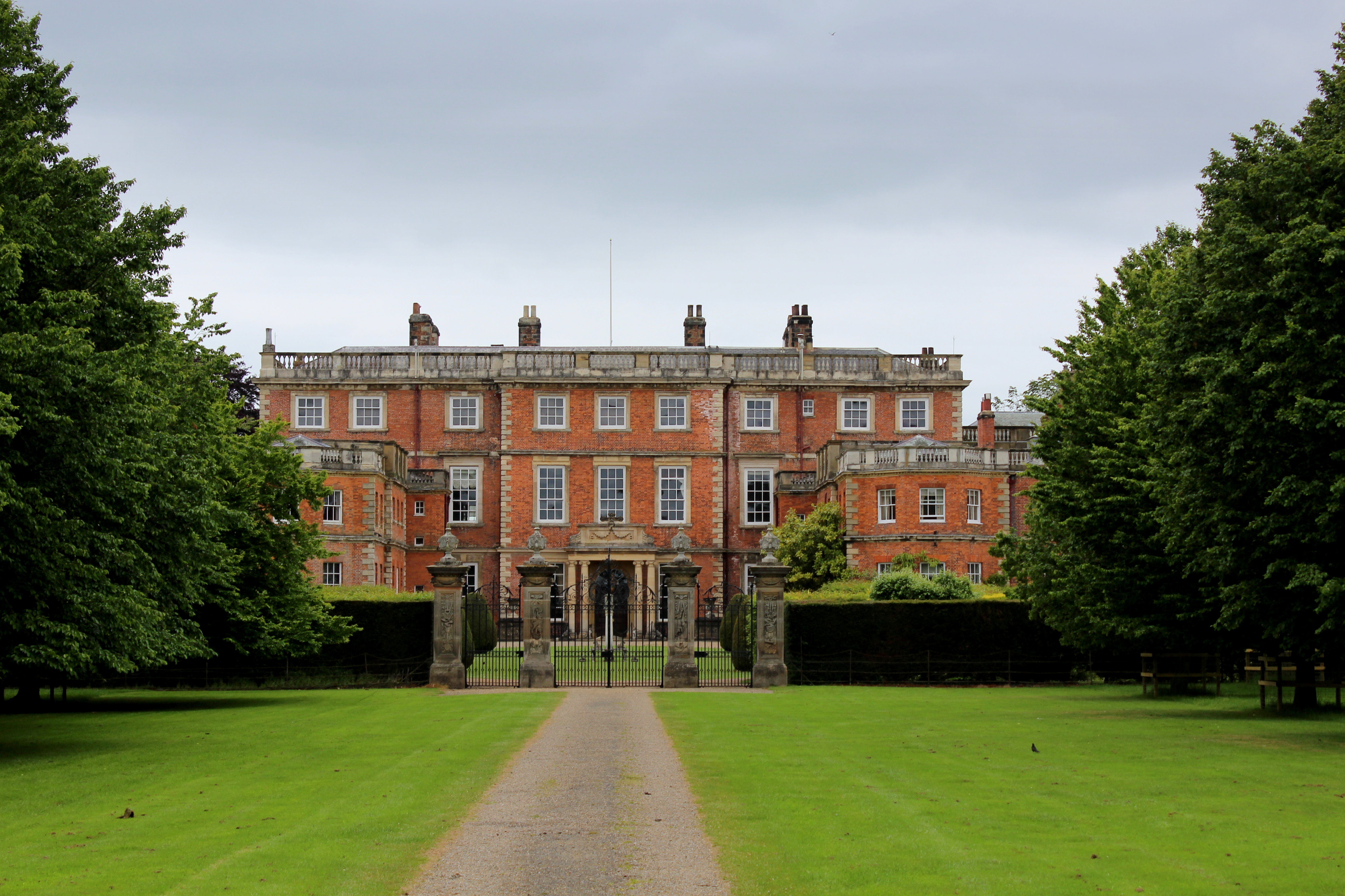
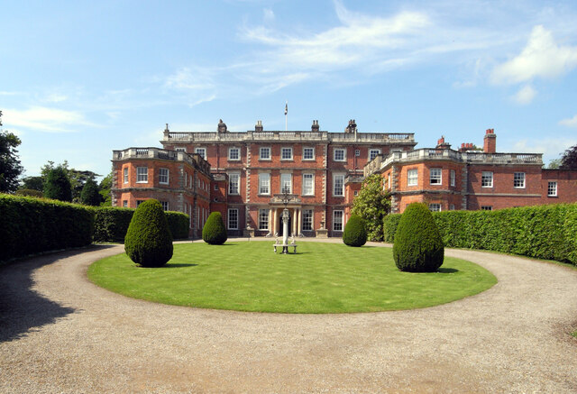
Newby Hall
Newby Hall is a country house beside the River Ure in the parish of Skelton-on-Ure in North Yorkshire, England. It is 3 miles (4.8 km) south-east of Ripon...
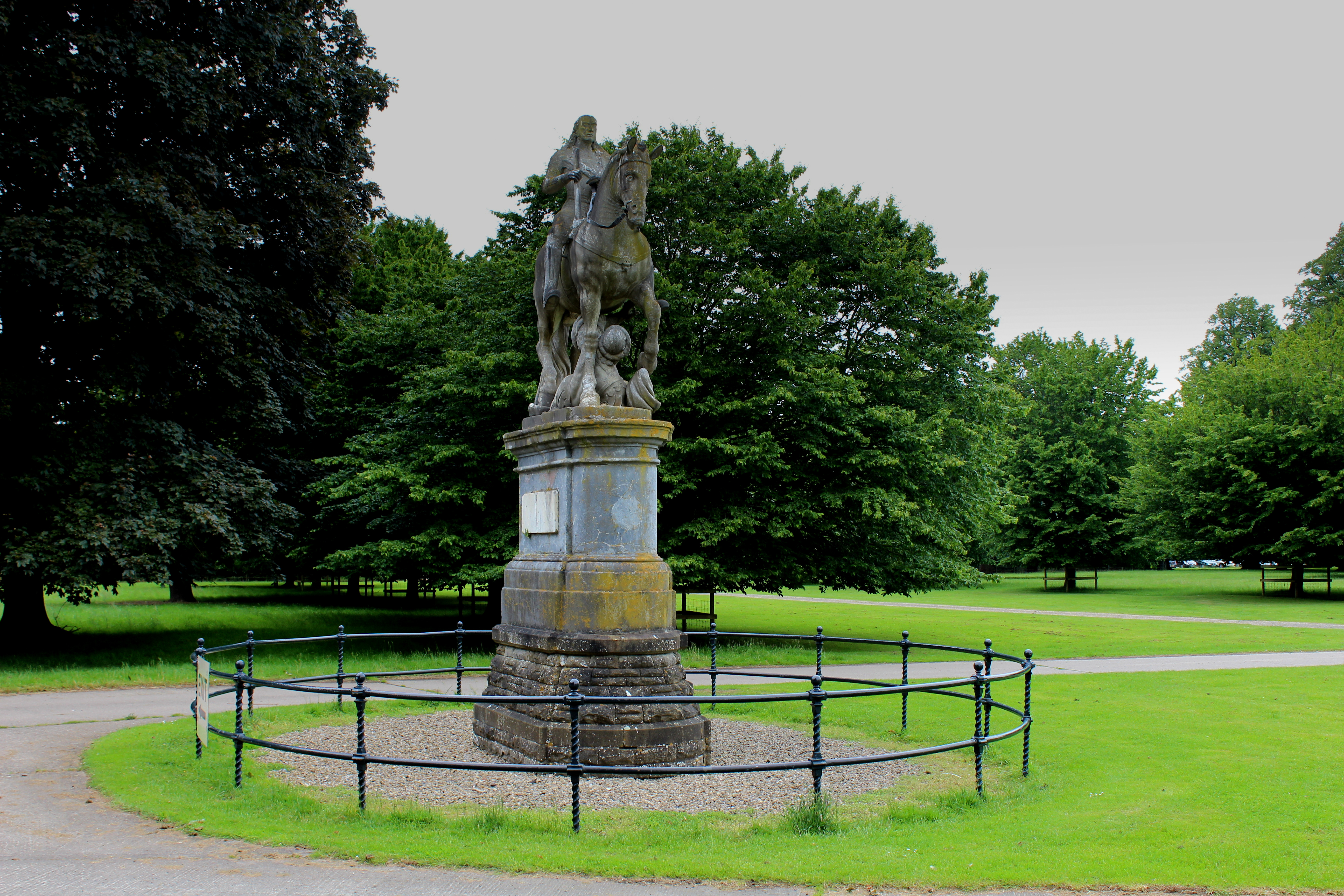
Equestrian statue of Charles II trampling Cromwell
An equestrian statue of Charles II trampling Cromwell stands near Newby Hall in North Yorkshire, England. It was previously sited at Gautby Hall in Lincolnshire...

Westwick, North Yorkshire
Westwick is a civil parish in Harrogate district in North Yorkshire, England. It lies 3 miles (5 km) west of Boroughbridge, on the south bank of the River...

Bishop Monkton Ings
Bishop Monkton Ings is a Site of Special Scientific Interest, or SSSI, situated east of Bishop Monkton village in North Yorkshire, England. It consists...

Bishop Monkton
Bishop Monkton is a village and civil parish in the Harrogate district of North Yorkshire, England, about five miles south of Ripon. According to the...

Church of Christ the Consoler
The Church of Christ the Consoler is a Victorian Gothic Revival church built in the Early English style by William Burges. It is located in the grounds...

Spectre of Newby Church
The Spectre of Newby Church (or the Newby Monk) is the name given to a figure found in a photograph taken in the Church of Christ the Consoler, on the...
Have you been to Dordy Flats Wood?
Leave your review of Dordy Flats Wood below (or comments, questions and feedback).