Bog Plantation

Wood, Forest in Hampshire New Forest

England

Bog Plantation

Matrix board - M27 southbound
Matrix board - M27 southbound Credit: Dave Thompson

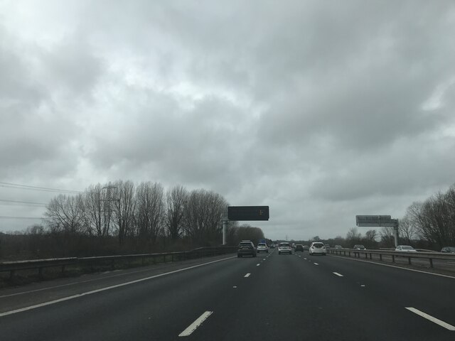
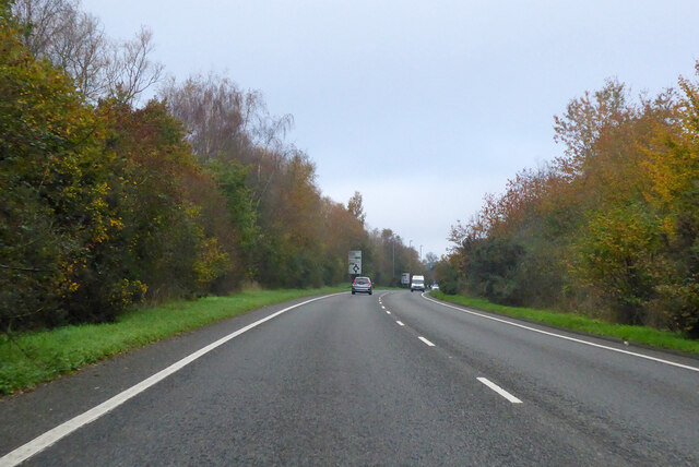
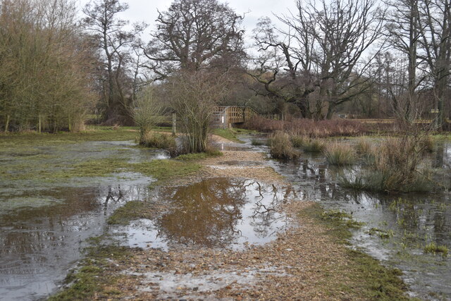
Bog Plantation, located in Hampshire, is a captivating woodland area known for its unique ecosystem and lush greenery. Spanning over a vast expanse, this forest is a haven for nature enthusiasts and those seeking tranquility amidst the beauty of nature.

The primary feature of Bog Plantation is its boggy terrain, which is characterized by wet and marshy conditions. This creates a distinctive habitat, attracting a diverse array of plants and animal species that thrive in such environments. The plantation boasts an abundance of rare and indigenous flora, including sphagnum moss, sundews, and butterworts, which are adapted to the acidic and waterlogged conditions of the bog.

The forest itself is predominantly composed of deciduous and evergreen trees, such as oak, beech, and birch, which provide a dense canopy and shade throughout the woodland. Numerous walking trails wind through the plantation, allowing visitors to explore its serene surroundings and discover the rich biodiversity it harbors.

Bog Plantation is also home to a variety of wildlife. Birdwatchers can spot a wide range of avian species, including woodpeckers, warblers, and owls, while small mammals like badgers, foxes, and rabbits can be observed in their natural habitats. Additionally, the bog attracts reptiles and amphibians, such as common frogs and adders, which contribute to the overall ecological balance of the area.

Due to its natural beauty and ecological significance, Bog Plantation has become a designated Site of Special Scientific Interest (SSSI), ensuring its protection and preservation for future generations to enjoy. Whether it's exploring the unique bog environment, observing wildlife, or simply immersing oneself in the tranquility of the forest, Bog Plantation offers a truly captivating experience for nature enthusiasts and visitors alike.

If you have any feedback on the listing, please let us know in the comments section below.

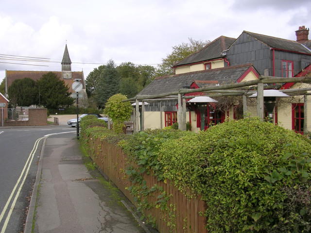
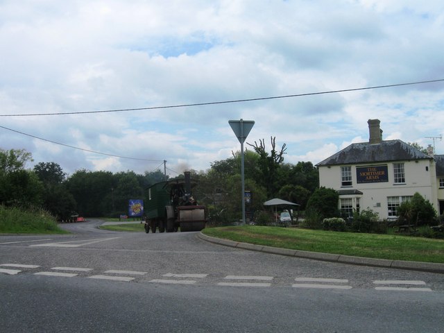
Bog Plantation Images

Images are sourced within 2km of 50.93477/-1.5167684 or Grid Reference SU3415. Thanks to Geograph Open Source API. All images are credited.

Matrix board - M27 southbound
Roadbridge - M27 southbound
Footbridge - M27 southbound
A36 bridge - M27 southbound
Signage - M27 northbound
A36 crossing M27
A36 crossing M27
Roadbridge over M27
Roadbridge over M27
Morrisons Supermarket This large branch of Morrisons is on the western edge of Totton close to the bypass.
Morrisons Supermarket
This large branch of Morrisons is on the western edge of Totton close to the bypass.
New housing development, Loperwood Lane
A326 northwards towards M27
A326 northwards towards M27 The  A36 crosses the bridge, there is full interchange here.
A326 northwards towards M27
The A36 crosses the bridge, there is full interchange here.
Flooded path towards footbridge, Testwood Lakes Local water levels have been much higher in the last few days: the path is now almost uncovered again.
Flooded path towards footbridge, Testwood Lakes
Local water levels have been much higher in the last few days: the path is now almost uncovered again.
Nursling Mill The water level is quite high, with the nearby river channel almost bankfull.
Nursling Mill
The water level is quite high, with the nearby river channel almost bankfull.
One of several channels of the River Test, north of Mill Lane
View across field near Brookes's Hill
M27 looking east from Wade Hill Drove
River Blackwater from Wade Bridge
Show me another place!

Bog Plantation is located at Grid Ref: SU3415 (Lat: 50.93477, Lng: -1.5167684)

Administrative County: Hampshire

District: New Forest

Police Authority: Hampshire

What 3 Words

///pioneered.fishnet.bugs. Near Totton, Hampshire

Related Wikis

A.F.C. Totton

Amalgamated Football Club Totton is a football club based in Totton, Hampshire, England. The club is affiliated to the Hampshire Football Association and...

Testwood Lakes

Testwood Lakes is a 55-hectare (140-acre) nature reserve on the northwest edge of Southampton in Hampshire, England. It is managed by the Hampshire and...

Tatchbury Mount Hospital

Tatchbury Mount Hospital is a health facility to the north of Totton, Hampshire, England. It is owned and managed by Southern Health NHS Foundation Trust...

Totton College

Totton College is a further education college located in Totton, Hampshire, providing courses for mainly 16- to 19-year-olds as well as adult education...

River Blackwater (River Test)

This River Blackwater drains small parts of the English counties of Hampshire and Wiltshire. It is a tributary of the River Test. == Course == It rises...

Netley Marsh

Netley Marsh is a village and civil parish in Hampshire, close to the town of Totton. It lies within the New Forest District, and the New Forest National...

Ower

Ower is a hamlet in the New Forest district of Hampshire, England. Its nearest towns are Totton – approximately 3 miles (4.8 km) to the southeast, and...

Totton & Eling F.C.

Totton & Eling Football Club are a football club based in Totton & Eling, Hampshire, England. The club is affiliated to the Hampshire Football Association...

Nearby Amenities

Located within 500m of 50.93477,-1.5167684
Bus Stop
Friars Croft
Bus: yes
Naptan AtcoCode: 1900HA080064
Naptan Bearing: N
Naptan CommonName: Friars Croft
Naptan Crossing: Friars Croft
Naptan NaptanCode: hamamgwd
Naptan Street: Calmore Drive
Naptan Verified: no
Public Transport: platform
Source: naptan_import
Lat/Long: 50.9305318/-1.5155551
Bus Stop
Stocklands
Bus: yes
Naptan AtcoCode: 1900HA080065
Naptan Bearing: NE
Naptan CommonName: Stocklands
Naptan Crossing: Warren Place
Naptan NaptanCode: hamamjda
Naptan Street: Calmore Drive
Naptan Verified: no
Public Transport: platform
Source: naptan_import
Lat/Long: 50.9318188/-1.5136633
Bus Stop
Hill Street
Bus: yes
Naptan AtcoCode: 1900HA080015
Naptan Bearing: NW
Naptan CommonName: Hill Street
Naptan Crossing: Hill Street
Naptan NaptanCode: hamamgmd
Naptan Street: Salisbury Road
Naptan Verified: no
Public Transport: platform
Source: naptan_import
Lat/Long: 50.938261/-1.5166419
Bus Stop
Hill Street
Bus: yes
Naptan AtcoCode: 1900HA080016
Naptan Bearing: SE
Naptan CommonName: Hill Street
Naptan Crossing: Hill Street
Naptan NaptanCode: hamamgmw
Naptan Street: Salisbury Road
Naptan Verified: no
Public Transport: platform
Source: naptan_import
Lat/Long: 50.9382776/-1.5163143
Bus Stop
Cooks Lane
Bus: yes
Naptan AtcoCode: 1900HA080017
Naptan Bearing: SE
Naptan CommonName: Cooks Lane
Naptan Crossing: Salisbury Road
Naptan NaptanCode: hamamjmw
Naptan Street: Cook's Lane
Naptan Verified: no
Source: naptan_import
Lat/Long: 50.9345077/-1.5115522
Bus Stop
Cooks Lane
Bus: yes
Naptan AtcoCode: 1900HA080018
Naptan Bearing: NW
Naptan CommonName: Cooks Lane
Naptan Crossing: Court Close
Naptan NaptanCode: hamamjpa
Naptan Street: Cook's Lane
Naptan Verified: no
Source: naptan_import
Lat/Long: 50.9341932/-1.5114262
Bus Stop
Loperwood Crossroads
Bus: yes
Naptan AtcoCode: 1900HA080053
Naptan Bearing: N
Naptan CommonName: Loperwood Crossroads
Naptan Crossing: Cooks Lane
Naptan NaptanCode: hamamgaw
Naptan Street: Calmore Road
Naptan Verified: no
Source: naptan_import
Lat/Long: 50.9316054/-1.5185892
Bus Stop
Loperwood Crossroads
Bus: yes
Naptan AtcoCode: 1900HA080054
Naptan Bearing: S
Naptan CommonName: Loperwood Crossroads
Naptan Crossing: Friars Croft
Naptan NaptanCode: hamamgda
Naptan Street: Calmore Road
Naptan Verified: no
Source: naptan_import
Lat/Long: 50.9316051/-1.5185039
Bus Stop
Coppice Road
Bus: yes
Naptan AtcoCode: 1900HA080055
Naptan Bearing: SE
Naptan CommonName: Coppice Road
Naptan Crossing: Coppice Road
Naptan NaptanCode: hamamjpd
Naptan Street: Calmore Drive
Naptan Verified: no
Public Transport: platform
Source: naptan_import
Lat/Long: 50.9322413/-1.5114674
Coppice Road
Naptan AtcoCode: 1900HAA09293
Naptan Bearing: NW
Naptan BusStopType: CUS
Naptan CommonName: Coppice Road
Naptan Crossing: Coppice Road
Naptan NaptanCode: hamjdmaw
Naptan Street: Calmore Drive
Naptan Verified: no
Source: naptan_import
Lat/Long: 50.932224/-1.5116241
Bus Stop
Stocklands
Bus: yes
Naptan AtcoCode: 1900HAA09294
Naptan Bearing: SW
Naptan CommonName: Stocklands
Naptan Crossing: Warren Place
Naptan Landmark: Opp Stocklands & Day Centre
Naptan NaptanCode: hamjdmda
Naptan Street: Calmore Drive
Naptan Verified: no
Source: naptan_import
Lat/Long: 50.9317289/-1.5136643
Bus Stop
Friars Croft
Bus: yes
Naptan AtcoCode: 1900HAA09296
Naptan Bearing: S
Naptan CommonName: Friars Croft
Naptan Crossing: Amberwood Close
Naptan NaptanCode: hamjdmdj
Naptan Street: Calmore Drive
Naptan Verified: no
Source: naptan_import
Lat/Long: 50.9305134/-1.5154557
Bus Stop
Buckland Gardens
Bus: yes
Naptan AtcoCode: 1900HAA19729
Naptan Bearing: NE
Naptan CommonName: Buckland Gardens
Naptan Crossing: Opp Buckland Gardens
Naptan NaptanCode: hamjgmtw
Naptan Street: Cooks Lane
Naptan Verified: no
Source: naptan_import
Lat/Long: 50.93301/-1.5146471
Post Box
Collection Plate: CP7D
Collection Times: Mo-Fr 09:00; Sa 07:00
Operator: Royal Mail
Operator Wikidata: Q638098
Post Box Type: lamp
Ref: SO40 349D
Royal Cypher: EIIR
Royal Cypher Wikidata: Q33102113
Lat/Long: 50.9325463/-1.5122655
Bicycle Parking
Lat/Long: 50.9337975/-1.5102663
Turning Circle
Lat/Long: 50.9322344/-1.5154187
Direction: S
Generator Method: photovoltaic
Generator Output Electricity: yes
Generator Solar Modules: 15
Generator Source: solar
Generator Type: solar_photovoltaic_panel
Location: roof
Power: generator
Lat/Long: 50.9303101/-1.516704
Direction: 210
Generator Method: photovoltaic
Generator Output Electricity: yes
Generator Solar Modules: 16
Generator Source: solar
Generator Type: solar_photovoltaic_panel
Location: roof
Power: generator
Lat/Long: 50.9325432/-1.5132239
Direction: S
Generator Method: photovoltaic
Generator Output Electricity: yes
Generator Solar Modules: 14
Generator Source: solar
Generator Type: solar_photovoltaic_panel
Location: roof
Power: generator
Lat/Long: 50.9305956/-1.5171191
Direction: 125
Generator Method: photovoltaic
Generator Output Electricity: yes
Generator Solar Modules: 4
Generator Source: solar
Generator Type: solar_photovoltaic_panel
Location: roof
Power: generator
Lat/Long: 50.9306155/-1.5151349
Direction: 125
Generator Method: photovoltaic
Generator Output Electricity: yes
Generator Solar Modules: 10
Generator Source: solar
Generator Type: solar_photovoltaic_panel
Location: roof
Power: generator
Lat/Long: 50.9305802/-1.5151688
Direction: 185
Generator Method: photovoltaic
Generator Output Electricity: yes
Generator Solar Modules: 12
Generator Source: solar
Generator Type: solar_photovoltaic_panel
Location: roof
Power: generator
Lat/Long: 50.9320735/-1.5166182
Direction: 215
Generator Method: photovoltaic
Generator Output Electricity: yes
Generator Solar Modules: 12
Generator Source: solar
Generator Type: solar_photovoltaic_panel
Location: roof
Power: generator
Lat/Long: 50.9324247/-1.5126405
Direction: 215
Generator Method: photovoltaic
Generator Output Electricity: yes
Generator Solar Modules: 12
Generator Source: solar
Generator Type: solar_photovoltaic_panel
Location: roof
Power: generator
Lat/Long: 50.9323505/-1.5124477
Direction: 195
Generator Method: photovoltaic
Generator Output Electricity: yes
Generator Solar Modules: 8
Generator Source: solar
Generator Type: solar_photovoltaic_panel
Location: roof
Power: generator
Lat/Long: 50.9324798/-1.5107542
The data included in this document is from www.openstreetmap.org. The data is made available under ODbL.

Have you been to Bog Plantation?

Leave your review of Bog Plantation below (or comments, questions and feedback).