Green Lane Spring
Wood, Forest in Yorkshire
England
Green Lane Spring

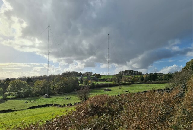
Green Lane Spring, located in Yorkshire, England, is a picturesque wood and forest area that attracts nature enthusiasts and outdoor lovers from all over. Covering a vast expanse of land, this idyllic location offers a serene and tranquil environment, perfect for those seeking a break from the hustle and bustle of daily life.
The woodland of Green Lane Spring is characterized by its dense and diverse vegetation, consisting of a variety of trees such as oak, birch, and pine. The lush greenery provides a stunning backdrop, especially during the spring and summer months, when the forest is in full bloom. The forest floor is carpeted with an array of wildflowers and ferns, creating a vibrant and colorful display.
The area is known for its well-maintained walking trails, which meander through the woods, offering visitors the opportunity to explore the natural beauty at their own pace. These trails cater to all levels of fitness, from gentle strolls suitable for families with young children to more challenging hikes for experienced adventurers.
Green Lane Spring is also home to a variety of wildlife, including deer, rabbits, and a wide range of bird species. Nature enthusiasts can often spot these creatures in their natural habitat, making it a popular destination for wildlife photography and birdwatching.
In addition to its natural allure, Green Lane Spring offers several amenities for visitors, including picnic areas and a visitor center. The visitor center provides information about the local flora and fauna, as well as maps and guides for exploring the area.
Overall, Green Lane Spring in Yorkshire is a haven for nature lovers, offering breathtaking scenery, diverse wildlife, and a peaceful atmosphere that is sure to rejuvenate the soul.
If you have any feedback on the listing, please let us know in the comments section below.
Green Lane Spring Images
Images are sourced within 2km of 53.450223/-1.4921606 or Grid Reference SK3394. Thanks to Geograph Open Source API. All images are credited.


Green Lane Spring is located at Grid Ref: SK3394 (Lat: 53.450223, Lng: -1.4921606)
Division: West Riding
Unitary Authority: Sheffield
Police Authority: South Yorkshire
What 3 Words
///bother.solved.formal. Near Chapeltown, South Yorkshire
Nearby Locations
Related Wikis
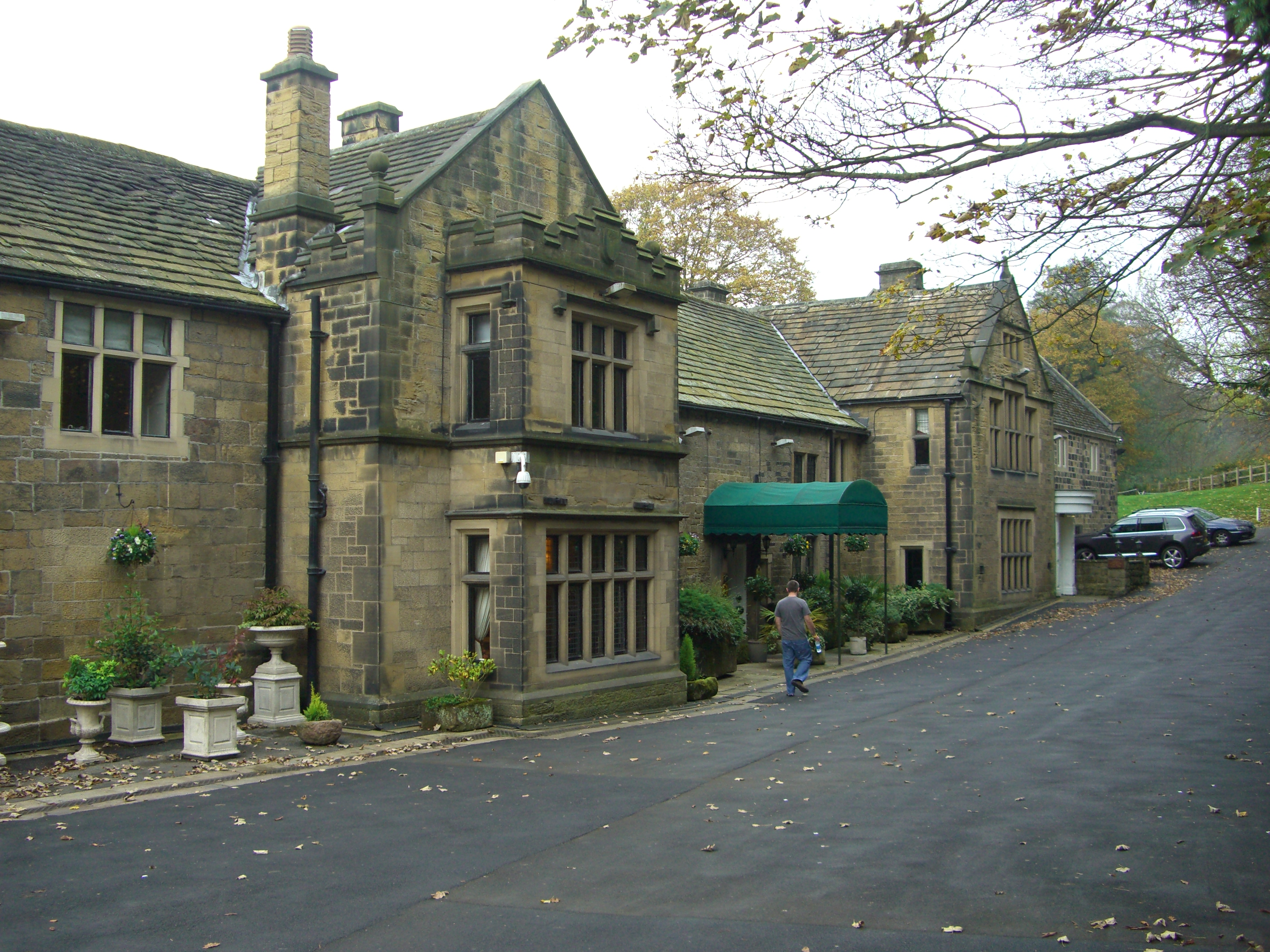
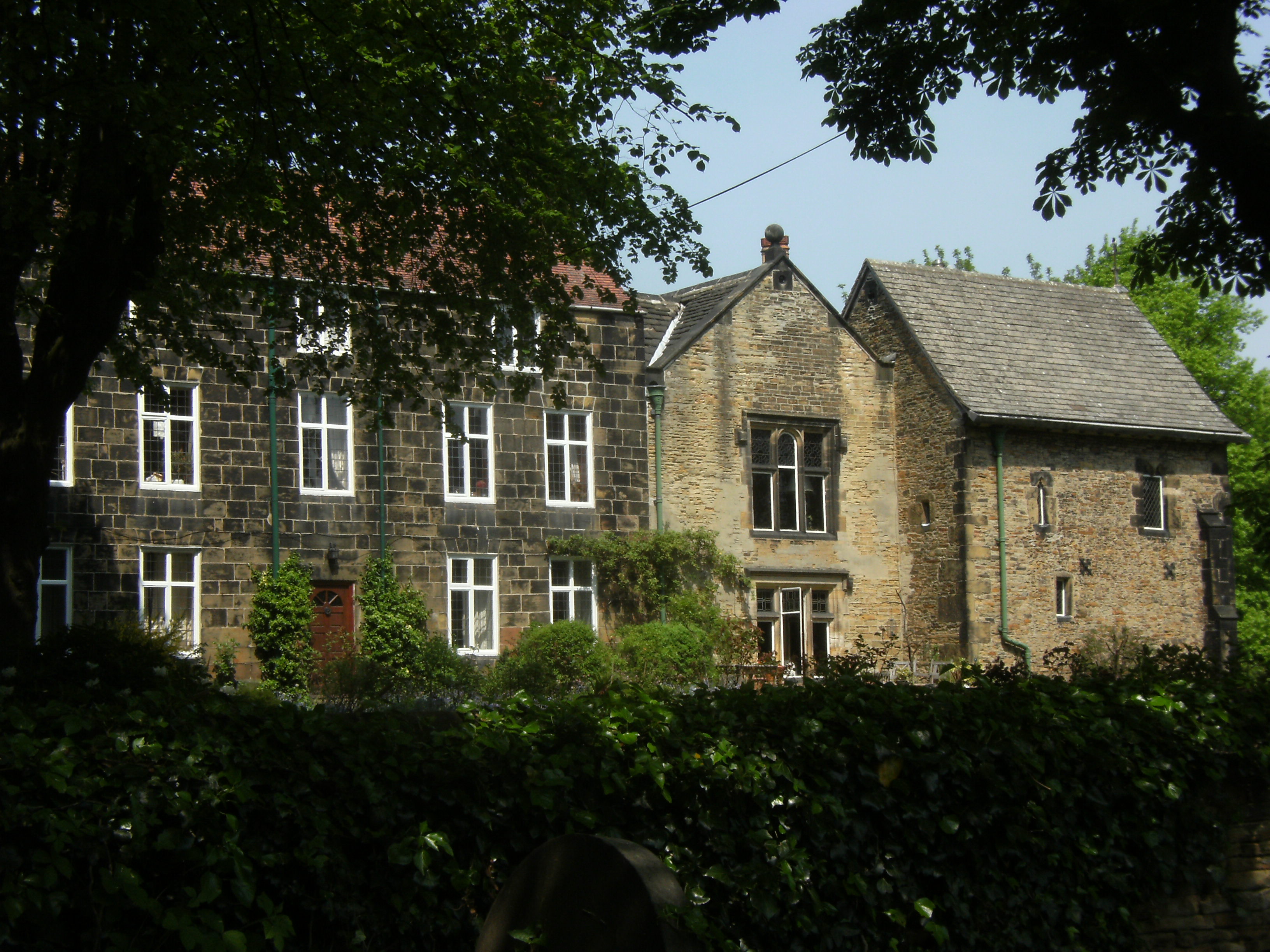
Whitley Hall
Whitley Hall is a 16th-century mansion which since 1969 has been converted into a restaurant and then a hotel. It is situated in the northern rural district...

Barnes Hall, South Yorkshire
Barnes Hall is an English country house near Burncross within the City of Sheffield in England. The estate includes the buildings of the adjacent Barnes...
St Mark's Church, Grenoside
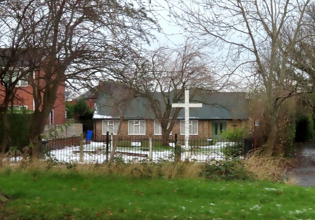
St. Mark's Church is an Anglican parish church in Grenoside, South Yorkshire, England. It is in the Deanery of Ecclesfield, and was built in 1884.Regular...
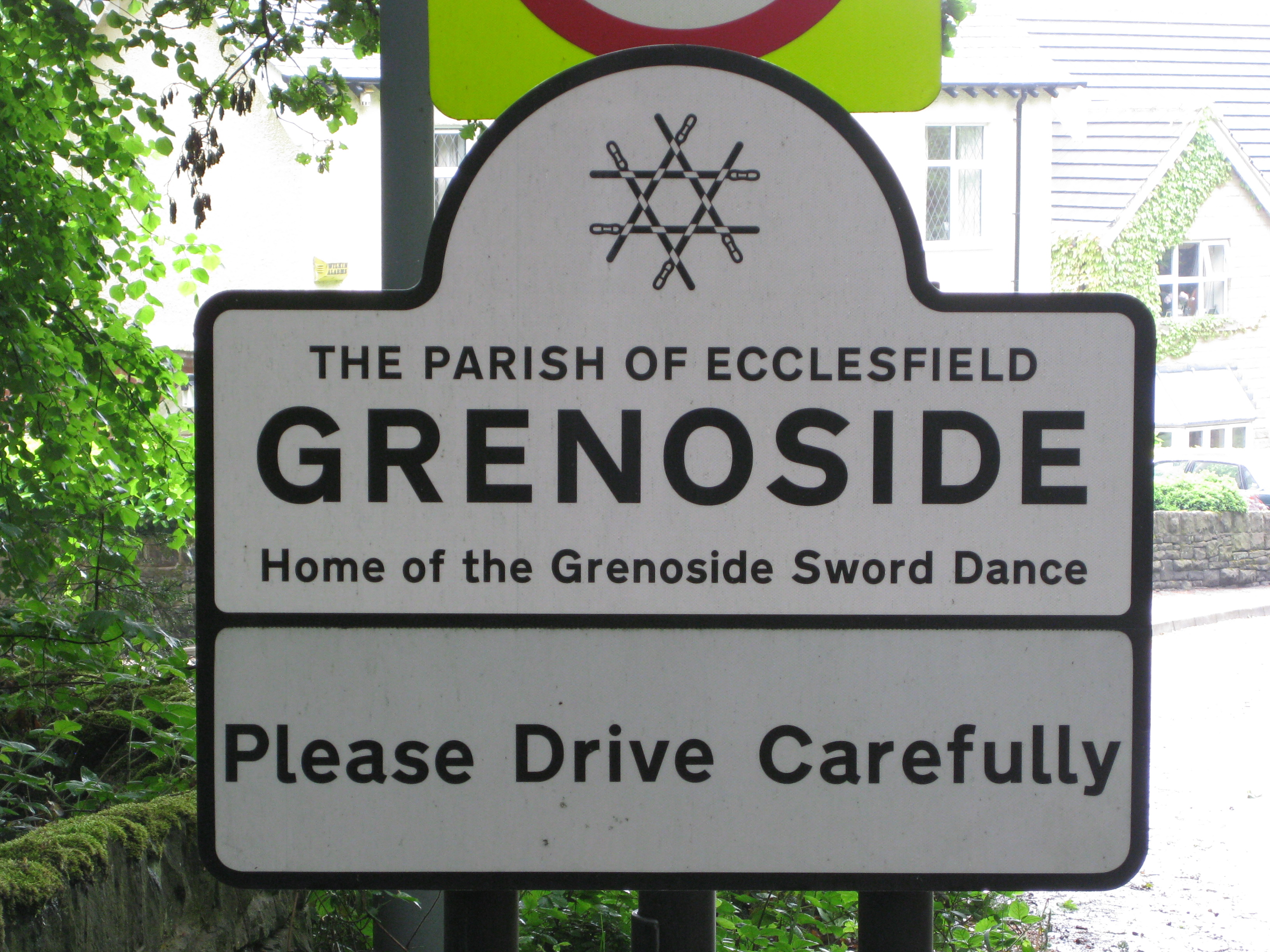
Grenoside
Grenoside is a suburb of Sheffield, South Yorkshire, England. The suburb falls within the West Ecclesfield ward of the city. == History == The name Grenoside...
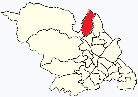
West Ecclesfield
West Ecclesfield ward—which includes the districts of Burncross, Grenoside, High Green—is one of the 28 electoral wards in City of Sheffield, England....
Ecclesfield Priory
Ecclesfield Priory was a religious house of Benedictine monks, lying in the village of Ecclesfield, north of Sheffield in Yorkshire, England. == History... ==

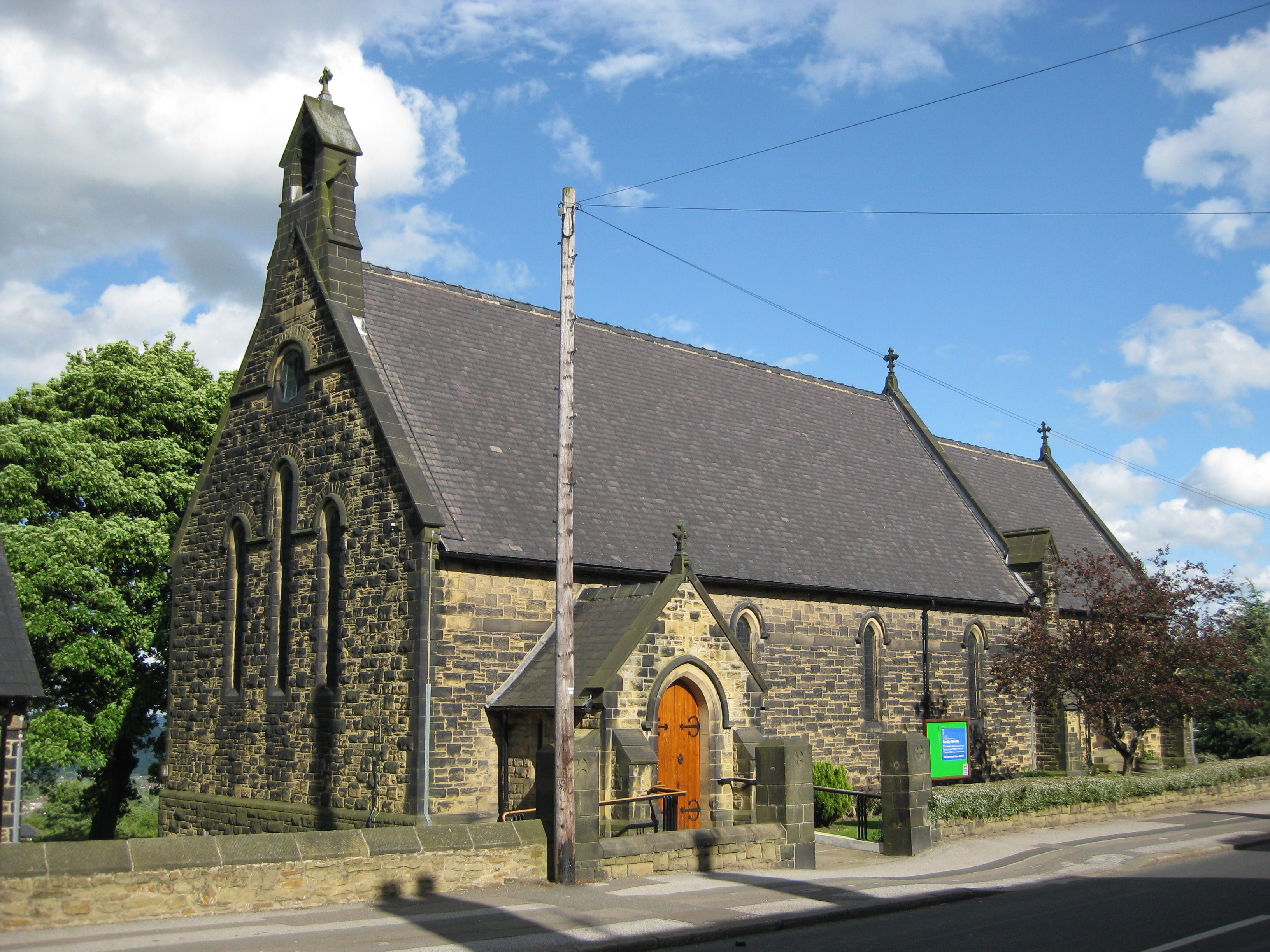
Church of St Mary, Ecclesfield
The Church of St Mary, Ecclesfield, is situated on Church Street in the village of Ecclesfield, Sheffield, South Yorkshire, England. It is situated 4.3...
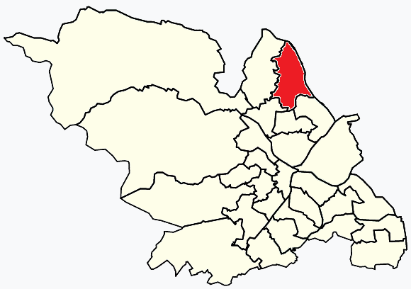
East Ecclesfield
East Ecclesfield ward—which includes the districts of Chapeltown and Ecclesfield—is one of the 28 electoral wards in City of Sheffield, England. It is...
Nearby Amenities
Located within 500m of 53.450223,-1.4921606Have you been to Green Lane Spring?
Leave your review of Green Lane Spring below (or comments, questions and feedback).