Wakebridge Wood
Wood, Forest in Derbyshire Amber Valley
England
Wakebridge Wood
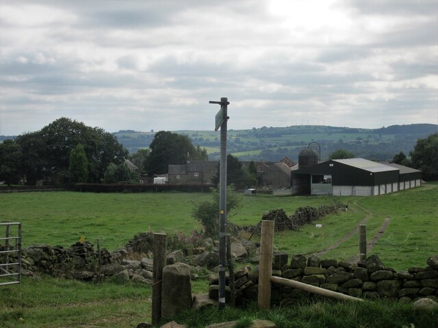
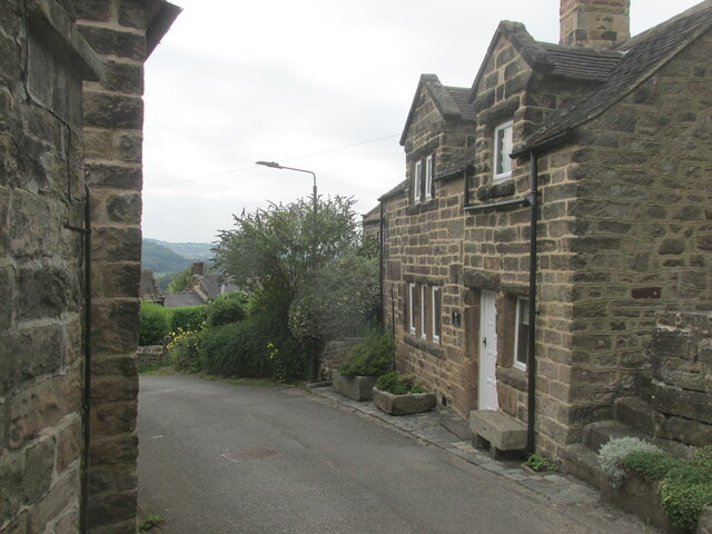
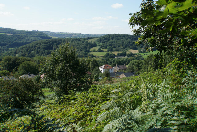
Wakebridge Wood is a picturesque woodland located in Derbyshire, England. Covering an area of approximately 50 acres, it is a popular destination for nature enthusiasts and outdoor adventurers. The wood is situated near the village of Crich and is easily accessible by foot or by car.
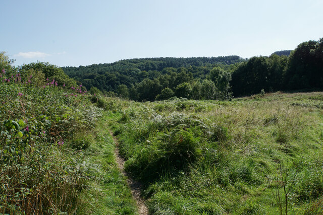
This enchanting forest offers a diverse range of flora and fauna, providing a haven for wildlife. Ancient oak trees dominate the landscape, their gnarled branches reaching towards the sky, while a carpet of bluebells adds a burst of color during the spring months. The wood is also home to a variety of bird species, including woodpeckers, owls, and thrushes, making it a fantastic spot for birdwatching.
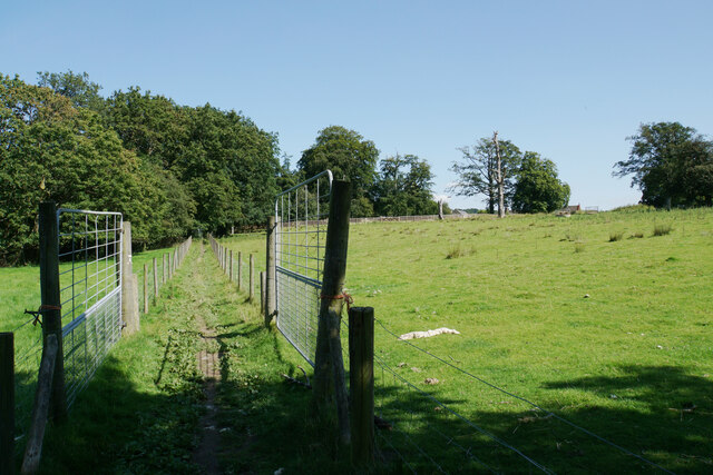
There are several well-maintained trails that wind through Wakebridge Wood, allowing visitors to explore the area at their own pace. These paths offer a chance to witness the natural beauty of the woodland up close, as well as providing opportunities for peaceful walks and picnics.
In addition to its natural splendor, Wakebridge Wood holds historical significance. It was once part of the Sherwood Forest, famous for its association with the legendary outlaw Robin Hood. The remnants of an old boundary wall can still be seen, serving as a reminder of the area's rich past.
Overall, Wakebridge Wood is a tranquil and captivating destination that offers a perfect escape from the hustle and bustle of everyday life. With its lush vegetation, diverse wildlife, and serene atmosphere, it is a must-visit location for nature lovers and those seeking a peaceful retreat.
If you have any feedback on the listing, please let us know in the comments section below.
Wakebridge Wood Images
Images are sourced within 2km of 53.10053/-1.4964058 or Grid Reference SK3356. Thanks to Geograph Open Source API. All images are credited.


Wakebridge Wood is located at Grid Ref: SK3356 (Lat: 53.10053, Lng: -1.4964058)
Administrative County: Derbyshire
District: Amber Valley
Police Authority: Derbyshire
What 3 Words
///staring.otter.observe. Near South Wingfield, Derbyshire
Nearby Locations
Related Wikis

Wakebridge
Wakebridge is a hamlet in Derbyshire, England. It is located 1 mile north-west of Crich and lies close to Crich quarry.

Coddington, Derbyshire
Coddington is a place in Derbyshire, England. It is part of the civil parish of Crich, and is ½ mile west of that village. According to Kelly's Directory...

National Tramway Museum
The National Tramway Museum (trading as Crich Tramway Village) is a tram museum located at Crich (), Derbyshire, England. The museum contains over 60...

Wheatcroft, Derbyshire
Wheatcroft is a small hamlet in the hills of Amber Valley, near Crich, Derbyshire, England. Wheatcroft has no shop or church and while it once had a chapel...

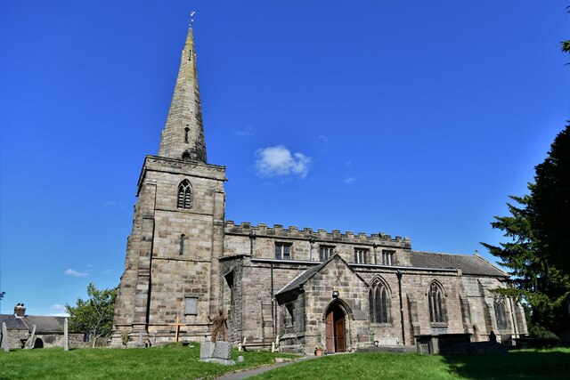
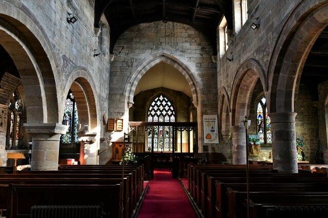
St Mary's Church, Crich
St Mary's Church, Crich is a Grade I listed parish church in the Church of England in Crich, Derbyshire. == History == The church dates from 1135 and has...

Christ Church, Holloway
Christ Church, Holloway is a Grade II* listed parish church in the Church of England in Holloway, Derbyshire. == History == The foundation stone was laid...

Whatstandwell
Whatstandwell () is a village on the River Derwent in the Amber Valley district of Derbyshire, England. It is about five miles south of Matlock and about...

Whatstandwell railway station
Whatstandwell railway station is a railway station owned by Network Rail and managed by East Midlands Railway. It serves the villages of Whatstandwell...
Nearby Amenities
Located within 500m of 53.10053,-1.4964058Have you been to Wakebridge Wood?
Leave your review of Wakebridge Wood below (or comments, questions and feedback).