Beggarswell Wood

Wood, Forest in Derbyshire Amber Valley

England

Beggarswell Wood

North end of Ambergate Station
North end of Ambergate Station Credit: Peter Moore

Beggarswell Wood is a charming woodland located in Derbyshire, England. Covering an area of approximately 100 acres, it is nestled within the picturesque landscape of the Derbyshire Dales. The woodland is part of the Peak District National Park, renowned for its natural beauty and diverse ecosystems.

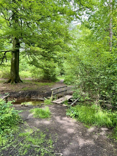
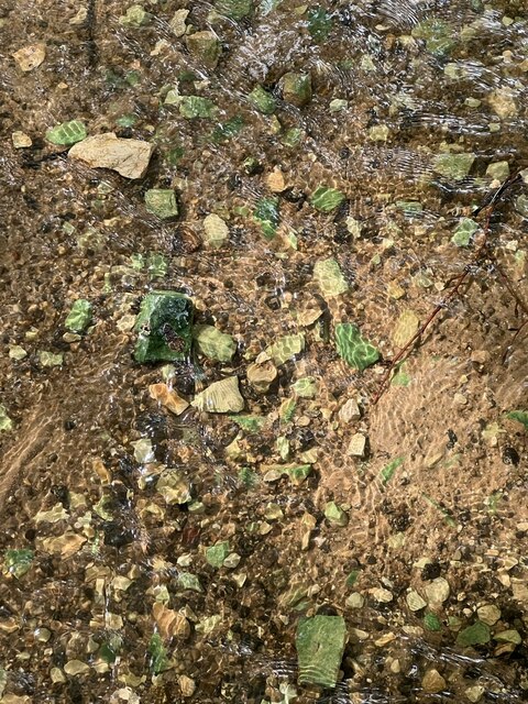
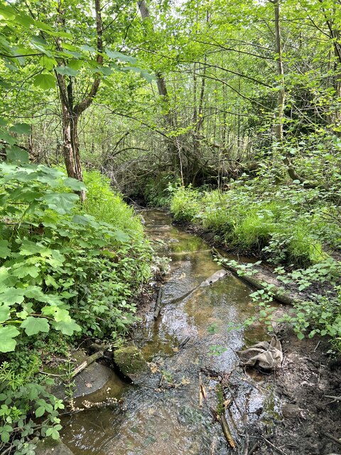
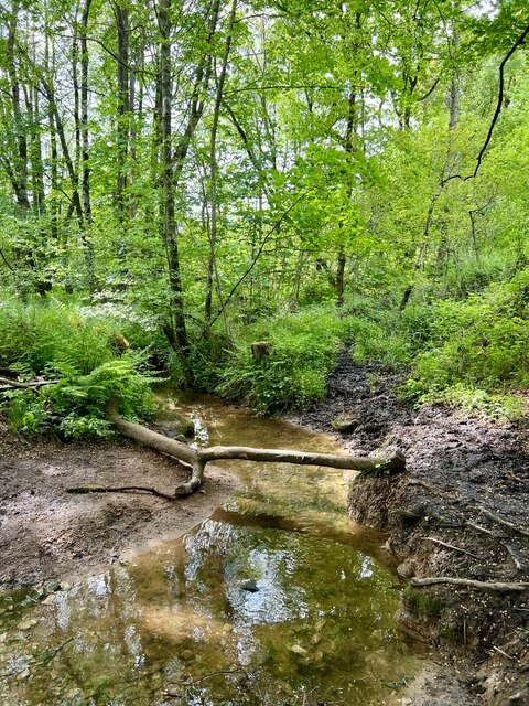
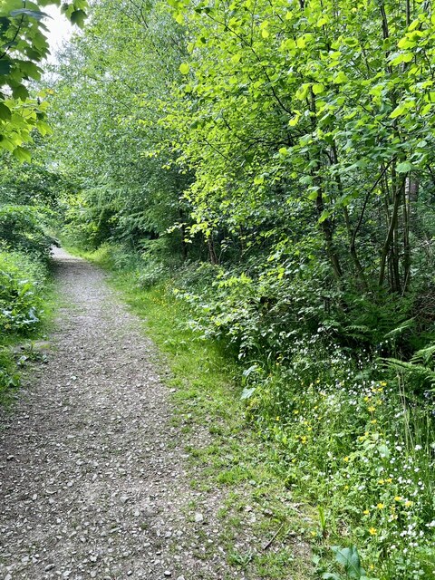
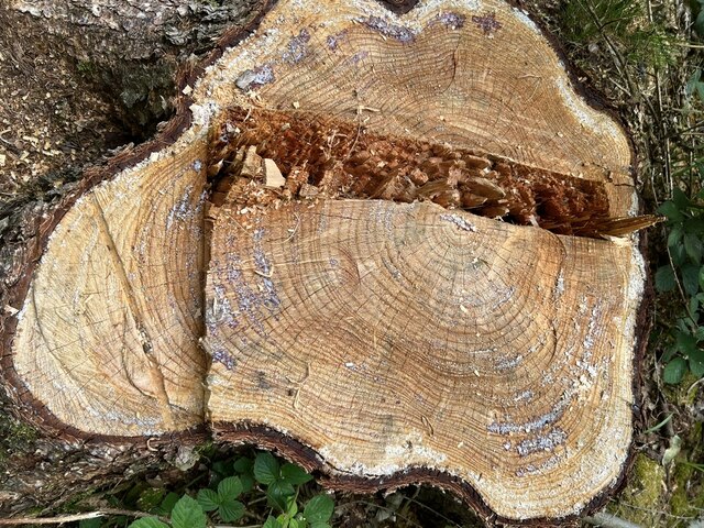
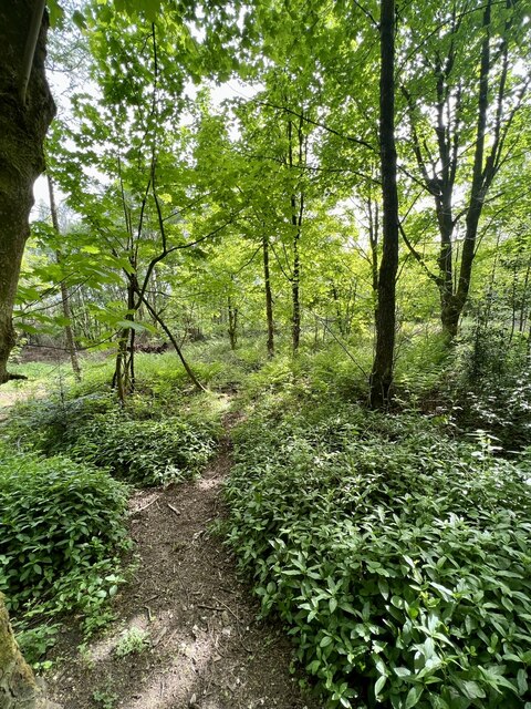
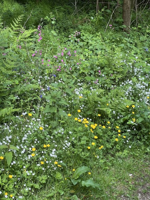
Beggarswell Wood is primarily composed of deciduous trees, including oak, birch, and beech, which create a stunning canopy of green during the warmer months. The forest floor is rich in flora, with an array of wildflowers and ferns adding color and texture to the landscape. The wood is also home to a variety of wildlife, including deer, foxes, and numerous species of birds.

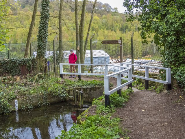
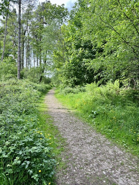
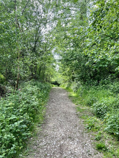
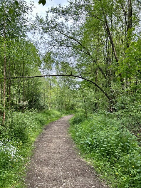
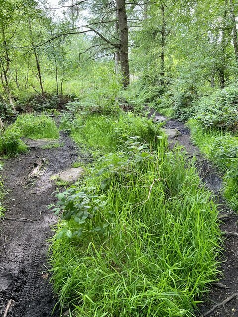
The woodland offers a tranquil escape for nature enthusiasts and hikers alike. A network of well-maintained trails allows visitors to explore the wood at their own pace, immersing themselves in the peaceful ambiance and natural beauty. The paths wind through the trees, providing glimpses of sunlight filtering through the leaves and creating a magical atmosphere.

Moreover, Beggarswell Wood is a designated Site of Special Scientific Interest (SSSI) due to its importance for conservation and biodiversity. The wood provides a habitat for rare species of plants and insects, contributing to the overall ecological health of the region.

In summary, Beggarswell Wood is a captivating woodland in Derbyshire, offering a serene and enchanting experience for nature lovers. With its picturesque scenery, diverse flora and fauna, and well-maintained trails, it is a destination worth exploring for anyone seeking a peaceful retreat in the heart of the Derbyshire Dales.

If you have any feedback on the listing, please let us know in the comments section below.

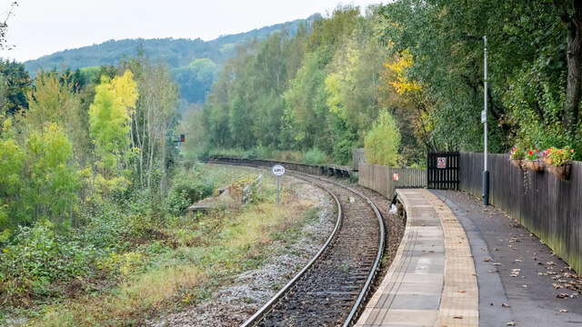
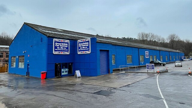
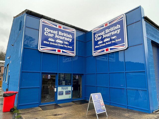
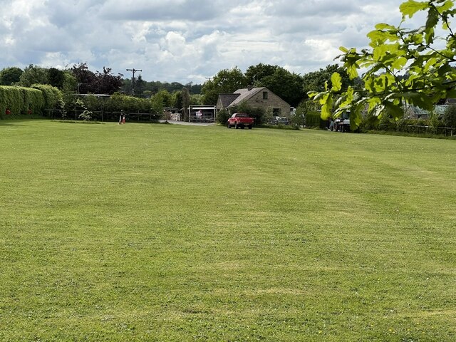
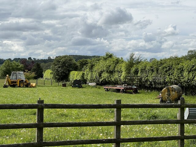
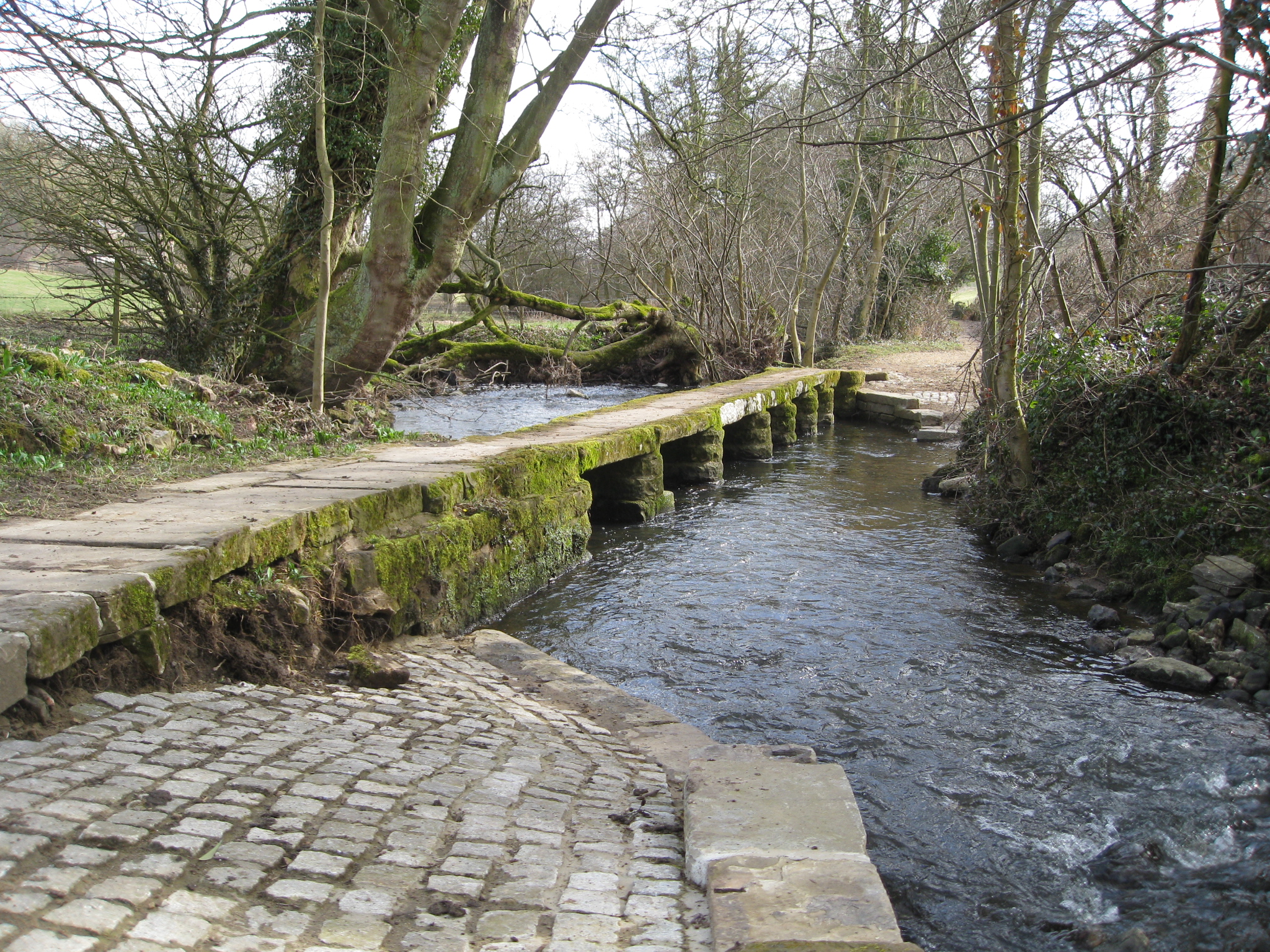
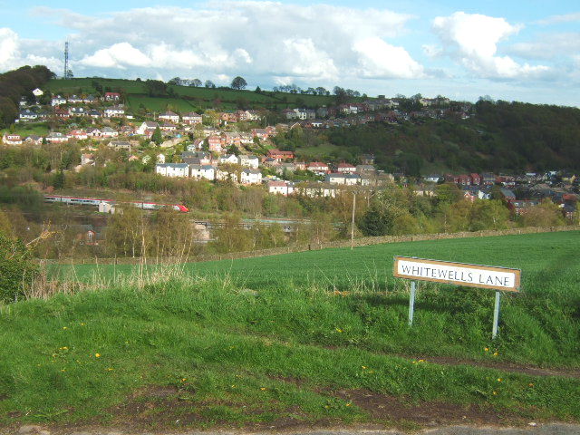
Beggarswell Wood Images

Images are sourced within 2km of 53.062886/-1.4969939 or Grid Reference SK3351. Thanks to Geograph Open Source API. All images are credited.

North end of Ambergate Station
The Great British Car Journey A car museum that opened in May 2021. The museum's exhibits consist of over 130 cars that illustrate the history of British car design and production between 1922 and the present day. The museum occupies a 4-acre site of a former wire works.
The Great British Car Journey
A car museum that opened in May 2021. The museum's exhibits consist of over 130 cars that illustrate the history of British car design and production between 1922 and the present day. The museum occupies a 4-acre site of a former wire works.
The Great British Car Journey - entrance A car museum that opened in May 2021. The museum's exhibits consist of over 130 cars that illustrate the history of British car design and production between 1922 and the present day. The museum occupies a 4-acre site of a former wire works.
The Great British Car Journey - entrance
A car museum that opened in May 2021. The museum's exhibits consist of over 130 cars that illustrate the history of British car design and production between 1922 and the present day. The museum occupies a 4-acre site of a former wire works.
End of Cromford Canal Before the construction of various works at this location, the canal ran through a short tunnel and then crossed both the main Derby to Sheffield railway line and the A610 road via a long and interesting aqueduct which has now been demolished. Nowadays, this waterway terminates here and is crossed by a diversionary footpath with a run off sluice.
End of Cromford Canal
Before the construction of various works at this location, the canal ran through a short tunnel and then crossed both the main Derby to Sheffield railway line and the A610 road via a long and interesting aqueduct which has now been demolished. Nowadays, this waterway terminates here and is crossed by a diversionary footpath with a run off sluice.
Woodland Footpath A small footbridge over the stream in Peat Pits Wood.
Woodland Footpath
A small footbridge over the stream in Peat Pits Wood.
Coloured stones There appear to be green algae on some of the stones in the stream.
Coloured stones
There appear to be green algae on some of the stones in the stream.
Downstream Looking downstream on Peat Pits Brook.
Downstream
Looking downstream on Peat Pits Brook.
Upstream Looking upstream on Peat Pits Brook.
Upstream
Looking upstream on Peat Pits Brook.
Peat Pits Woodland Looking Northwest on the track in Peat Pits Wood.
Peat Pits Woodland
Looking Northwest on the track in Peat Pits Wood.
Peat Pits Woodland 2 Looking southeast on the woodland path.
Peat Pits Woodland 2
Looking southeast on the woodland path.
Peat Pits Woodland 3 Going deeper into Peat Pits Woodland in an eastern direction.
Peat Pits Woodland 3
Going deeper into Peat Pits Woodland in an eastern direction.
Tree stump A recently felled Larch tree stump.
Tree stump
A recently felled Larch tree stump.
Spindly Tree A very thin and spindly tree dropping over the path.
Spindly Tree
A very thin and spindly tree dropping over the path.
Woodland Clearing Trees have been felled several years ago, with bracken and other woodland plant growing amongst  the scrub trees.
Woodland Clearing
Trees have been felled several years ago, with bracken and other woodland plant growing amongst the scrub trees.
Woodland Flowers A collection of wild flowers, blue bells, buttercups, ladysmock and pink campion.
Woodland Flowers
A collection of wild flowers, blue bells, buttercups, ladysmock and pink campion.
Wet Footpath A very damp section of footpath, with people trying to find the driest way through.
Wet Footpath
A very damp section of footpath, with people trying to find the driest way through.
Bear Pit Campsite A nice looking campsite, but as its name suggests, rather bare.
Bear Pit Campsite
A nice looking campsite, but as its name suggests, rather bare.
Farm Implements An array of older farming implements.
Farm Implements
An array of older farming implements.
Show me another place!

Beggarswell Wood is located at Grid Ref: SK3351 (Lat: 53.062886, Lng: -1.4969939)

Administrative County: Derbyshire

District: Amber Valley

Police Authority: Derbyshire

What 3 Words

///ripe.unfit.height. Near Heage, Derbyshire

Related Wikis

Nearby Amenities

Located within 500m of 53.062886,-1.4969939
Ele: 149
Information: board
Tourism: information
Lat/Long: 53.0634141/-1.5004825
Information: board
Tourism: information
Lat/Long: 53.063535/-1.4986855
Ele: 161
Lat/Long: 53.063256/-1.5031383
Ele: 149
Lat/Long: 53.0633968/-1.5005448
Ele: 151
Lat/Long: 53.063438/-1.4993371
Barrier: block
Ele: 153
Lat/Long: 53.0636647/-1.4980633
Ele: 139
Lat/Long: 53.0635924/-1.4959419
Ele: 126
Lat/Long: 53.063627/-1.4943836
Ele: 115
Lat/Long: 53.0635213/-1.4933147
Ele: 98
Lat/Long: 53.0635077/-1.4912993
Ele: 90
Lat/Long: 53.0629988/-1.4900663
Ele: 152
Lat/Long: 53.0635634/-1.4986936
Old WireWorks
Building: industrial
Lat/Long: 53.0655907/-1.4916166
Grith Pioneers Information
Information: board
Tourism: information
Lat/Long: 53.0666421/-1.5010131
Noticeboard
Information: board
Tourism: information
Lat/Long: 53.0655881/-1.5013537
Information: board
Tourism: information
Lat/Long: 53.0656299/-1.5014503
Power: pole
Lat/Long: 53.0607191/-1.4904379
Power: pole
Lat/Long: 53.0604019/-1.4912937
Power: pole
Lat/Long: 53.0603043/-1.4923168
The data included in this document is from www.openstreetmap.org. The data is made available under ODbL.

Have you been to Beggarswell Wood?

Leave your review of Beggarswell Wood below (or comments, questions and feedback).