Bank Edge Plantation

Wood, Forest in Yorkshire Richmondshire

England

Bank Edge Plantation

Girsby Bridge A wrought and cast iron bridge over the River Tees at Girsby.
Girsby Bridge Credit: John Peacock

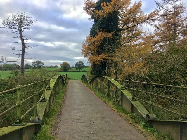
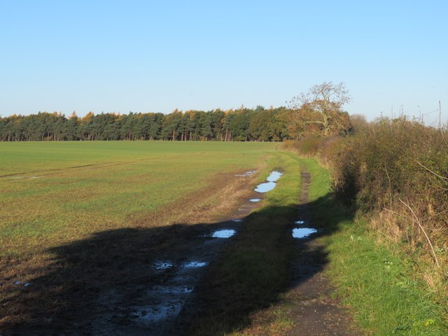
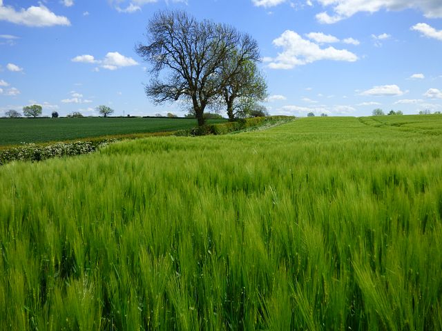
Bank Edge Plantation is a picturesque woodland located in the heart of Yorkshire, England. Spread over a vast area, it is a prime example of the region's natural beauty and is renowned for its diverse flora and fauna.

The plantation consists mainly of deciduous trees, including oak, beech, and birch, which provide a stunning display of colors during the autumn season. The dense canopy of the trees creates a cool and serene atmosphere, making it an ideal spot for leisurely walks and picnics. The forest floor is covered in a thick layer of moss and ferns, adding to the enchanting ambiance.

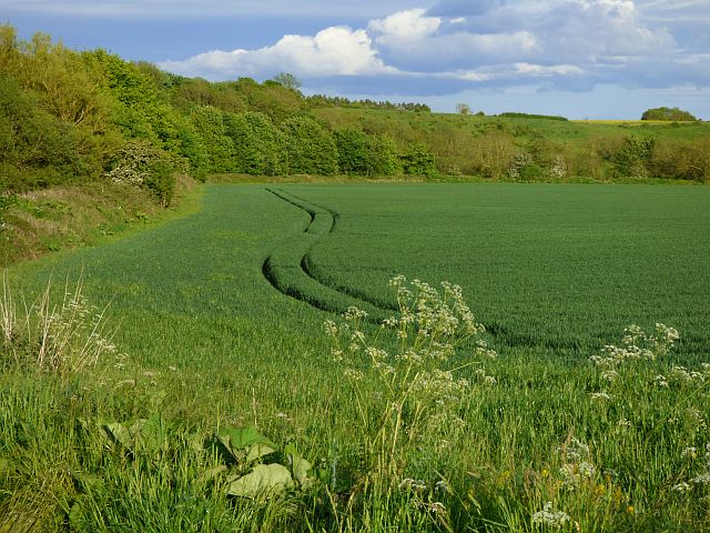
Bank Edge Plantation is home to a wide variety of wildlife, making it a popular destination for nature lovers and birdwatchers. Visitors can spot a range of bird species, including woodpeckers, owls, and various songbirds. Mammals such as deer, foxes, and rabbits can also be seen roaming freely in their natural habitat.

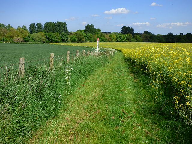
The plantation is well-maintained, with well-marked trails and picnic areas for visitors to enjoy. There are also educational boards placed strategically throughout the woodland, providing information about the different tree species and wildlife found in the area.

Bank Edge Plantation offers a peaceful retreat from the bustling city life, with its tranquil surroundings and scenic beauty. Whether it's a leisurely stroll, birdwatching, or simply immersing oneself in nature, this woodland is a must-visit destination for nature enthusiasts and those seeking a rejuvenating experience in the heart of Yorkshire.

If you have any feedback on the listing, please let us know in the comments section below.

Bank Edge Plantation Images

Images are sourced within 2km of 54.461341/-1.4828919 or Grid Reference NZ3307. Thanks to Geograph Open Source API. All images are credited.

Girsby Bridge A wrought and cast iron bridge over the River Tees at Girsby.
Girsby Bridge
A wrought and cast iron bridge over the River Tees at Girsby.
Eryholme, Westfield Cottage The benchmark is cut into the north facing wall of the property.
Eryholme, Westfield Cottage
The benchmark is cut into the north facing wall of the property.
Eryholme, Westfield Cottage There is a benchmark cut into the north facing wall of the property.
Eryholme, Westfield Cottage
There is a benchmark cut into the north facing wall of the property.
Approaching a junction on A167 Ahead and to the right, a vehicle waits to turn on to the A167 from the B1263, the turning being right on the grid line. The A167 between Croft on Tees and Northallerton is generally a pleasant road to drive as it carries relatively little traffic.
Approaching a junction on A167
Ahead and to the right, a vehicle waits to turn on to the A167 from the B1263, the turning being right on the grid line. The A167 between Croft on Tees and Northallerton is generally a pleasant road to drive as it carries relatively little traffic.
Road junction at Low Entercommon At this point a minor road meets the A167. The sign on the left indicates the boundary between Richmondshire and Hambleton, two of the local authorities which operated within North Yorkshire until 2023 when the whole county came under one administration. One assumes that such signs are now obsolete. Toll Bar Garage is just visible in the distance.
Road junction at Low Entercommon
At this point a minor road meets the A167. The sign on the left indicates the boundary between Richmondshire and Hambleton, two of the local authorities which operated within North Yorkshire until 2023 when the whole county came under one administration. One assumes that such signs are now obsolete. Toll Bar Garage is just visible in the distance.
Fieldside track at High Entercommon Farmer's track accessed via a locked gate. No right of way here.
Fieldside track at High Entercommon
Farmer's track accessed via a locked gate. No right of way here.
East Sockburn Farm Looking towards the farm from the road near Staindale Bridge.
East Sockburn Farm
Looking towards the farm from the road near Staindale Bridge.
Road towards Staindale Bridge National Cycle Network route 165 runs along here.
Road towards Staindale Bridge
National Cycle Network route 165 runs along here.
Old Toll House This wreck of a building, the back wall and most of the rear portion of the roof have fallen in, is the toll keepers house on the Boroughbridge and Durham Turnpike which was built some-time around 1745. It now stands forlorn next to the A167 which runs from Topcliffe in North Yorkshire to Cowgate in Tyne & Wear.
Old Toll House
This wreck of a building, the back wall and most of the rear portion of the roof have fallen in, is the toll keepers house on the Boroughbridge and Durham Turnpike which was built some-time around 1745. It now stands forlorn next to the A167 which runs from Topcliffe in North Yorkshire to Cowgate in Tyne & Wear.
Old Toll House by Northallerton Road, Great Smeaton Entercommon Toll House by the A167, in parish of Great Smeaton (Hambleton District), Toll Bar Cottage, Northallerton Road, by Toll Bar Garage, Murco petrol station, near junction with B1264, DL6 2EX.

Surveyed

Milestone Society National ID: YN.GSM01
Old Toll House by Northallerton Road, Great Smeaton
Entercommon Toll House by the A167, in parish of Great Smeaton (Hambleton District), Toll Bar Cottage, Northallerton Road, by Toll Bar Garage, Murco petrol station, near junction with B1264, DL6 2EX. Surveyed Milestone Society National ID: YN.GSM01
Farmland, Eryholme Barley beside the bridleway at Carlingholme.
Farmland, Eryholme
Barley beside the bridleway at Carlingholme.
Track and farmland, Eryholme The bridleway between Westfields and Carlingholme.
Track and farmland, Eryholme
The bridleway between Westfields and Carlingholme.
Farmland, Eryholme A gas line marker and bridleway heading east from the village.
Farmland, Eryholme
A gas line marker and bridleway heading east from the village.
Farmland, Sockburn A crop of maize in its infancy beside the start of the bridleway at High Sockburn.
Farmland, Sockburn
A crop of maize in its infancy beside the start of the bridleway at High Sockburn.
Farmland, Sockburn Arable land beside the Tees on the eastern side of the Sockburn Peninsula.
Farmland, Sockburn
Arable land beside the Tees on the eastern side of the Sockburn Peninsula.
Milespost, A167 Near the junction with the B1264.

London / 229 : Darlington / 8 : Northallerton / 8

Milestone Society National ID: YN_NADL09
Milespost, A167
Near the junction with the B1264. London / 229 : Darlington / 8 : Northallerton / 8 Milestone Society National ID: YN_NADL09
Old Milestone, on the A167, 30m SE of High Entercommon Farm, just before B1264 junction (Toll Bar Garage) 1 mile N of Gt Smeaton. Located on the West side of road, In hedge 50m S of junction opp 3rd pair of catseyes. Cast iron post, Northallerton casting design, 19th century.    Alternative view see <a title="https://www.geograph.org.uk/photo/6684135" href="https://www.geograph.org.uk/photo/6684135">Link</a>
 
Inscription reads: DARLINGTON / 8  // NO'ALLERTON / 8 // LONDON / 229    

Grade II listed by Historic England.   

Milestone Society National ID: YN_NADL08
Old Milestone, on the A167, 30m SE of High Entercommon Farm, just before B1264 junction (Toll Bar Garage)
1 mile N of Gt Smeaton. Located on the West side of road, In hedge 50m S of junction opp 3rd pair of catseyes. Cast iron post, Northallerton casting design, 19th century. Alternative view see Link Inscription reads: DARLINGTON / 8 // NO'ALLERTON / 8 // LONDON / 229 Grade II listed by Historic England. Milestone Society National ID: YN_NADL08
Cottage by entrance to Break House Farm Situated next to the minor road that swings southwards from near Eryholme.
Cottage by entrance to Break House Farm
Situated next to the minor road that swings southwards from near Eryholme.
Show me another place!

Bank Edge Plantation is located at Grid Ref: NZ3307 (Lat: 54.461341, Lng: -1.4828919)

Division: North Riding

Administrative County: North Yorkshire

District: Richmondshire

Police Authority: North Yorkshire

What 3 Words

///unleashed.screamed.movements. Near Hurworth, Co. Durham

Related Wikis

Sockburn

Sockburn is a village and former civil parish, now in the parish of Neasham, in the Darlington district, in the ceremonial county of Durham, England. It...

Sockburn Hall

Sockburn Hall is a privately owned 19th-century country house at Sockburn, near Darlington, County Durham, England. It is a Grade II* listed building....

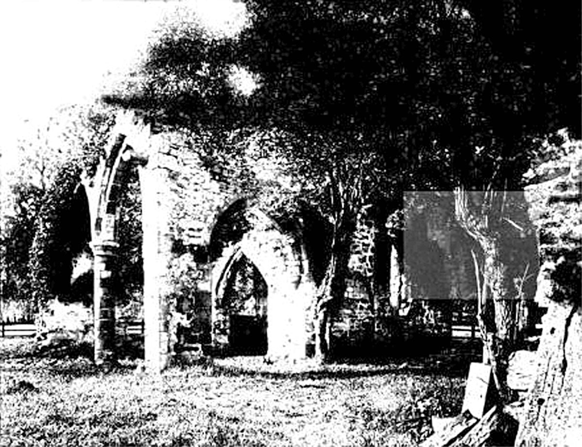
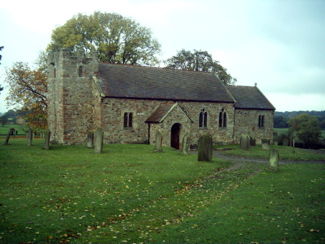
All Saints Church, Sockburn

All Saints Church is a ruined Church of England parish church in Sockburn, County Durham, England. A Grade I listed building, the church has pre- and post...

Eryholme

Eryholme is a village and civil parish in the district of Richmondshire in North Yorkshire, England. As the population remained less than 100 in the 2011...

Girsby

Girsby is a village and civil parish in the former Hambleton District of North Yorkshire, England. The village lies on high ground on the eastern bank...

Neasham Priory

Neasham Priory is a priory founded for a community of Benedictine nuns before 1157. Located on the River Tees near Sockburn, County Durham, it was the...

Neasham

Neasham is a village approximately four miles to the south east of Darlington in County Durham, England. == Geography and recreation == The village sits...

Great Smeaton

Great Smeaton is a village and civil parish in North Yorkshire, England. It lies on elevated ground near the River Wiske, which is a tributary of the River...

Nearby Amenities

Located within 500m of 54.461341,-1.4828919
Eastfields
Place: farm
Lat/Long: 54.4582596/-1.4773324
The data included in this document is from www.openstreetmap.org. The data is made available under ODbL.

Have you been to Bank Edge Plantation?

Leave your review of Bank Edge Plantation below (or comments, questions and feedback).