Ashover Lane Plantation
Wood, Forest in Derbyshire Amber Valley
England
Ashover Lane Plantation

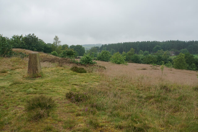
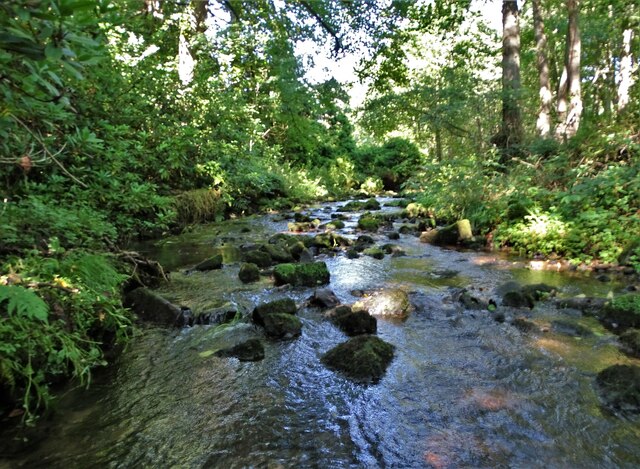
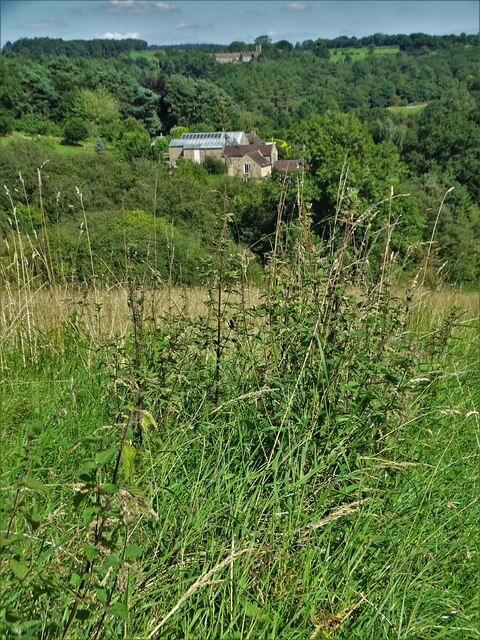
Ashover Lane Plantation is a picturesque woodland located in Derbyshire, England. Spanning over a vast area, this enchanting plantation is known for its dense forest, diverse flora, and tranquil surroundings. The plantation is situated near the village of Ashover, and its natural beauty attracts visitors from all over the region.
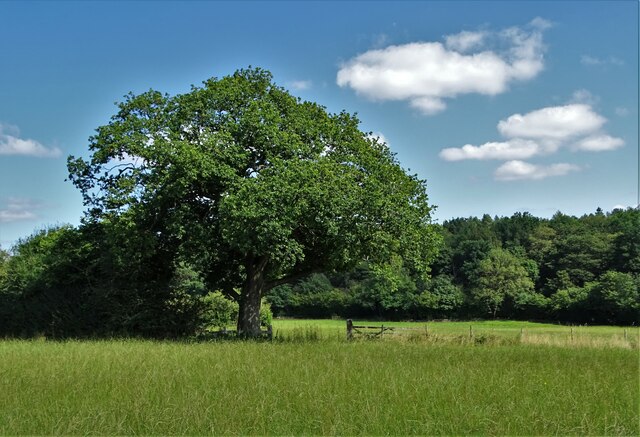
The woodland consists mainly of native broadleaf trees, such as oak, beech, and birch, which create a stunning canopy overhead. These trees provide a habitat for a wide variety of wildlife, including birds, small mammals, and insects. The plantation is particularly popular among birdwatchers, as it is home to several species of birds, including woodpeckers, owls, and songbirds.
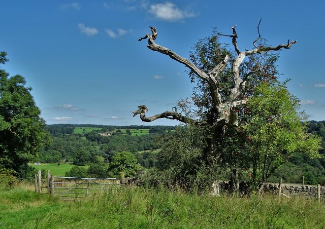
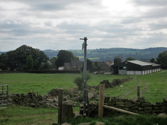
Walking through the plantation, visitors can enjoy the peaceful atmosphere and take in the beauty of the surrounding landscape. There are several well-marked trails that wind through the forest, allowing hikers and nature enthusiasts to explore the area at their own pace. The trails are suitable for all levels of fitness and offer breathtaking views of the surrounding countryside.
Ashover Lane Plantation also has a rich cultural history. It is believed to have been used as a source of timber for the nearby village of Ashover in the past. Today, it serves as a popular recreational spot for locals and tourists alike, offering a peaceful retreat away from the hustle and bustle of daily life.
Overall, Ashover Lane Plantation is a hidden gem in Derbyshire, offering a beautiful natural environment and a sense of tranquility for those who visit.
If you have any feedback on the listing, please let us know in the comments section below.
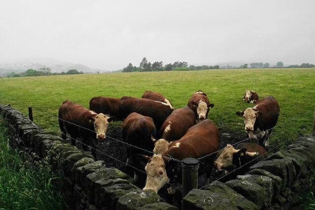
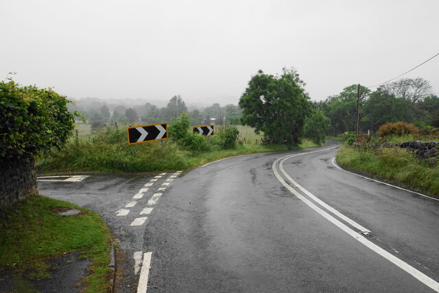
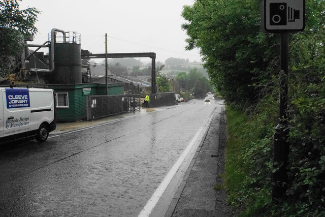
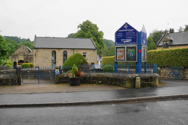
Ashover Lane Plantation Images
Images are sourced within 2km of 53.118717/-1.501154 or Grid Reference SK3358. Thanks to Geograph Open Source API. All images are credited.


Ashover Lane Plantation is located at Grid Ref: SK3358 (Lat: 53.118717, Lng: -1.501154)
Administrative County: Derbyshire
District: Amber Valley
Police Authority: Derbyshire
What 3 Words
///faced.argue.globe. Near Tansley, Derbyshire
Related Wikis

St Michael and All Angels' Church, Littlethorpe
St Michael and All Angels’ Church, Littlethorpe is a Grade II listed parish church in the Church of England in Littlethorpe, North Yorkshire England....
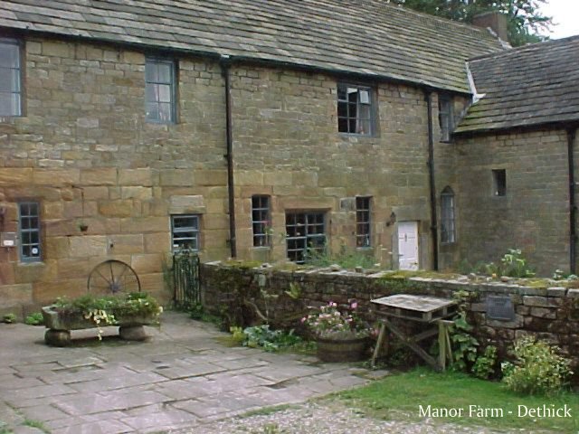
Dethick Manor
Dethick Manor is a 16th-century manor house, situated at Dethick, Amber Valley, Derbyshire, much altered in the 18th century and converted to use as a...

St John the Baptist's Church, Dethick
St John the Baptist's Church, Dethick is a Grade II* listed parish church in the Church of England in Dethick, Derbyshire. == History == The church was...

Christ Church, Holloway
Christ Church, Holloway is a Grade II* listed parish church in the Church of England in Holloway, Derbyshire. == History == The foundation stone was laid...

Wheatcroft, Derbyshire
Wheatcroft is a small hamlet in the hills of Amber Valley, near Crich, Derbyshire, England. Wheatcroft has no shop or church and while it once had a chapel...

Tansley
Tansley is a village on the southern edge of the Derbyshire Peak District, two miles east of Matlock. == History == Tansley is recorded in the Domesday...

Holy Trinity Church, Tansley
Holy Trinity Church, Tansley is a parish church in the Church of England in Tansley, Derbyshire. == History == The foundation stone was laid on 1 May 1839...
Riber
Riber is a hamlet in the civil parish of Matlock Town, in the Derbyshire Dales district, in the county of Derbyshire, England. It is situated high on a...
Nearby Amenities
Located within 500m of 53.118717,-1.501154Have you been to Ashover Lane Plantation?
Leave your review of Ashover Lane Plantation below (or comments, questions and feedback).