Forty Acre Wood
Wood, Forest in Wiltshire
England
Forty Acre Wood

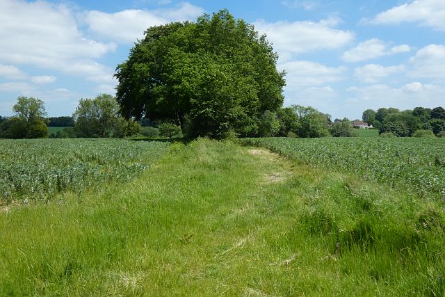
Forty Acre Wood is a charming woodland located in the county of Wiltshire, England. Spanning across an area of approximately 40 acres, this enchanting forest offers visitors a tranquil escape from the hustle and bustle of everyday life.
Situated in a rural setting, Forty Acre Wood is characterized by its diverse array of flora and fauna, making it a haven for nature enthusiasts. The wood is primarily composed of native deciduous trees such as oak, beech, and ash, providing a stunning display of vibrant colors during the autumn season. The forest floor is adorned with a rich carpet of ferns, bluebells, and wildflowers, creating a picturesque landscape.
The wood is crisscrossed with a network of well-maintained footpaths and trails, allowing visitors to explore its natural beauty at their own pace. As you wander through the forest, you may encounter a variety of woodland creatures, including squirrels, rabbits, and an array of bird species. The tranquil atmosphere is often interrupted by the soothing sounds of birdsong, providing a delightful symphony of nature.
Forty Acre Wood is a popular destination for outdoor activities such as walking, jogging, and birdwatching. It offers a serene environment for picnics, with several designated picnic areas scattered throughout the woodland. The wood is also a favored spot for photographers, who can capture breathtaking shots of the scenery and its inhabitants.
Whether you are seeking a peaceful retreat or an opportunity to connect with nature, Forty Acre Wood in Wiltshire is a captivating destination that offers an immersive experience in the heart of the English countryside.
If you have any feedback on the listing, please let us know in the comments section below.
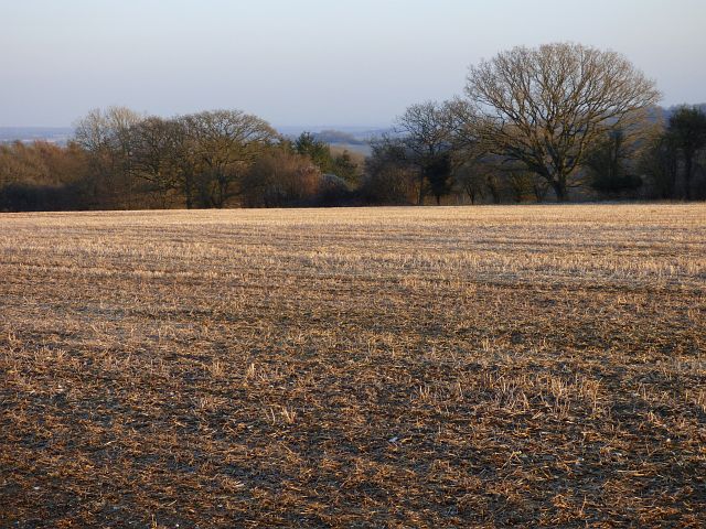
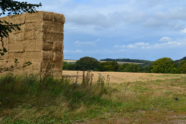
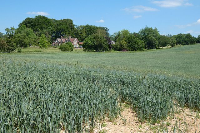
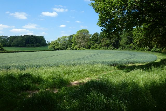
Forty Acre Wood Images
Images are sourced within 2km of 51.28942/-1.5255909 or Grid Reference SU3354. Thanks to Geograph Open Source API. All images are credited.


Forty Acre Wood is located at Grid Ref: SU3354 (Lat: 51.28942, Lng: -1.5255909)
Unitary Authority: Wiltshire
Police Authority: Wiltshire
What 3 Words
///traders.showering.forklift. Near Ludgershall, Wiltshire
Nearby Locations
Related Wikis

Bevisbury
Bevisbury is the site of a former Iron Age plateau fort in Hampshire, England. The fort lies on a chalk ridge and is of a single bank and ditch construction...

Conholt
Conholt was a small village in east Wiltshire, England, close to the Hampshire border and about 6 miles (10 km) northeast of Andover. It is now the site...

Rushmore and Conholt Downs
Rushmore and Conholt Downs is a 111.5-hectare (276-acre) biological Site of Special Scientific Interest north of Andover in Hampshire. It is a Nature Conservation...

Tangley
Tangley is a village in the English county of Hampshire. Tangley is situated north of the old market town of Andover and the village of Charlton, Hampshire...

Vernham Dean
Vernham Dean, sometimes known as Vernhams Dean, is a village and civil parish in the Test Valley district of Hampshire, England, just east of the Wiltshire...
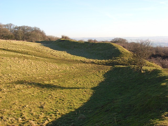
Fosbury Camp
Fosbury Camp, is the site of an Iron Age bivallate hillfort located in Wiltshire. The site is oval in shape, and approximately 26 acres in areaThe site...
Pill Heath
Pill Heath is a hamlet in the civil parish of Tangley situated in the North Wessex Downs Area of Outstanding Natural Beauty in the Test Valley district...

Hippenscombe
Hippenscombe is a hamlet within the civil parish of Tidcombe and Fosbury, Wiltshire, in the southwest of England. Marked only on large-scale maps, it lies...
Nearby Amenities
Located within 500m of 51.28942,-1.5255909Have you been to Forty Acre Wood?
Leave your review of Forty Acre Wood below (or comments, questions and feedback).