Barrowby Wood
Wood, Forest in Yorkshire Harrogate
England
Barrowby Wood
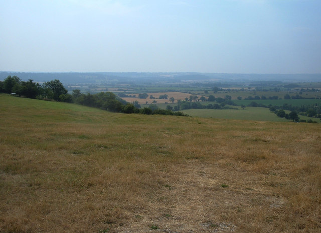
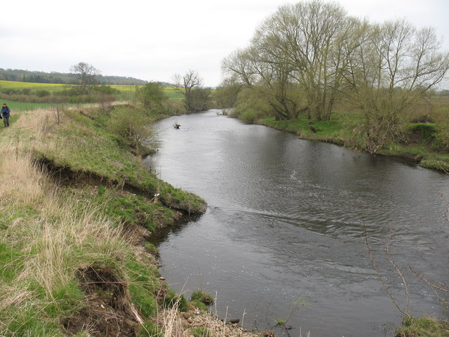
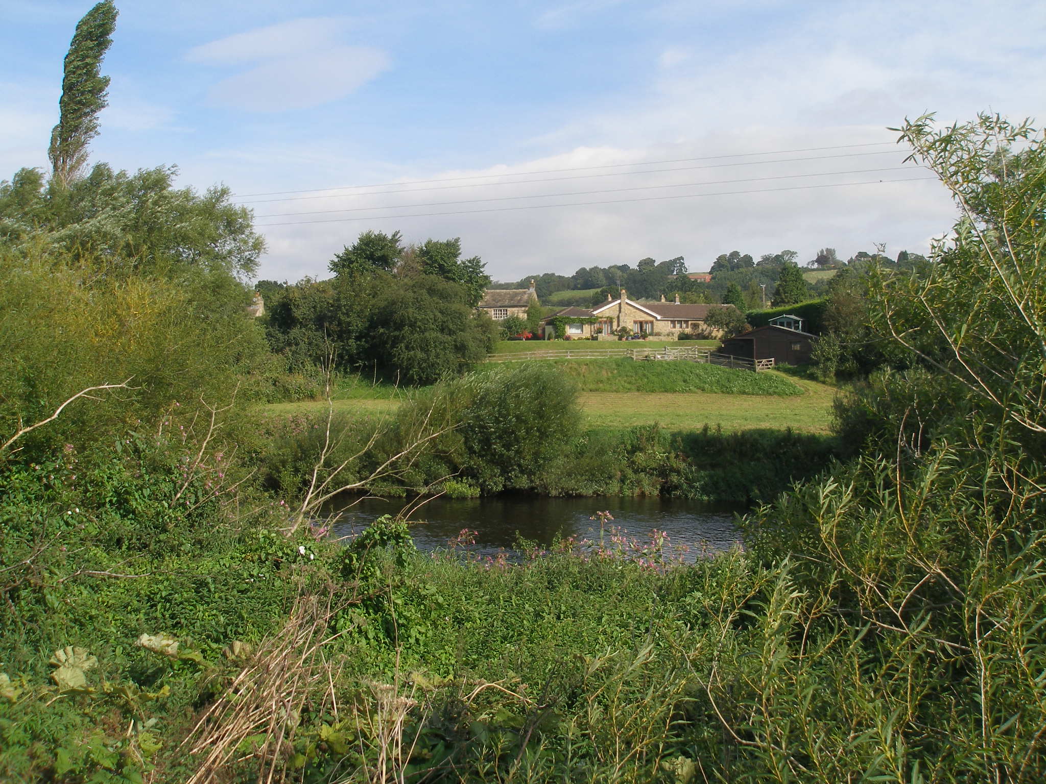
Barrowby Wood, located in Yorkshire, is a picturesque woodland area known for its natural beauty and diverse wildlife. Covering an area of approximately 100 acres, this enchanting forest is a popular destination for nature enthusiasts and outdoor lovers.
The wood is characterized by its dense canopy of tall trees, including oak, beech, and birch varieties. These majestic trees create a serene and tranquil atmosphere within the forest, offering a cool and shady retreat during the summer months. The forest floor is blanketed with a rich carpet of moss and various wildflowers, adding to the wood's charm.
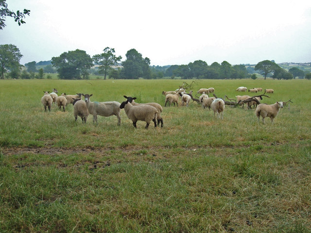
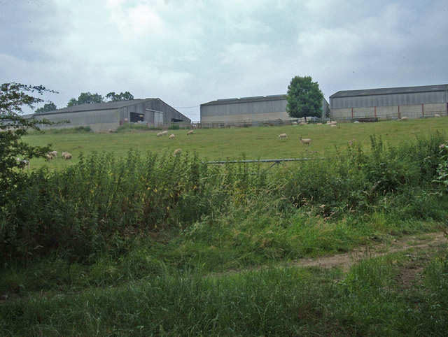
Barrowby Wood is teeming with a wide variety of wildlife, making it an ideal spot for birdwatching and animal spotting. Visitors may catch glimpses of deer, squirrels, foxes, and an abundance of bird species, including woodpeckers, owls, and various songbirds. The wood's diverse ecosystem also supports a range of insect species, attracting those interested in studying the smaller inhabitants of the forest.
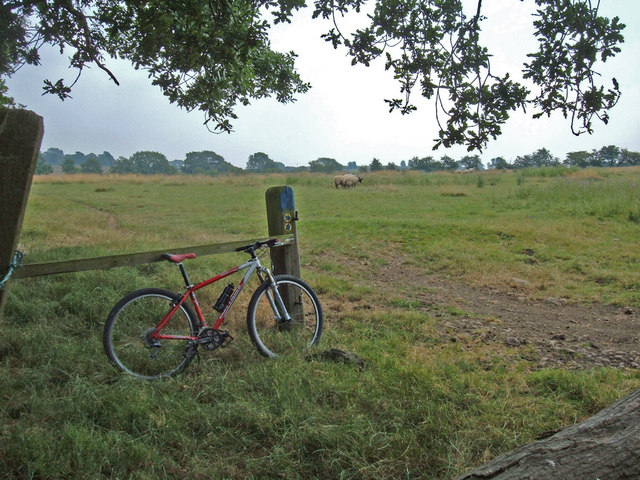
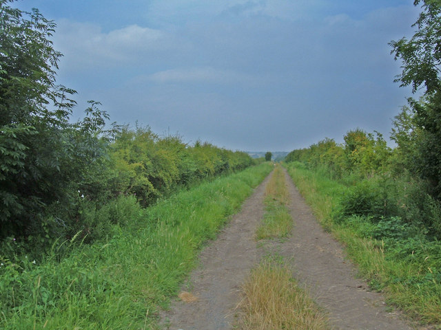
Multiple walking trails wind through Barrowby Wood, providing visitors with the opportunity to explore its hidden corners and discover its natural treasures. These well-maintained paths offer a peaceful setting for leisurely walks or more vigorous hikes, catering to individuals of all fitness levels.
In addition to its natural beauty, Barrowby Wood is also of historical significance. The remains of an ancient settlement can be found within its boundaries, adding an extra layer of intrigue for history buffs and archaeology enthusiasts.
Overall, Barrowby Wood offers a captivating blend of natural splendor, wildlife diversity, and historical intrigue, making it a must-visit destination for anyone seeking a peaceful retreat in the heart of Yorkshire.
If you have any feedback on the listing, please let us know in the comments section below.
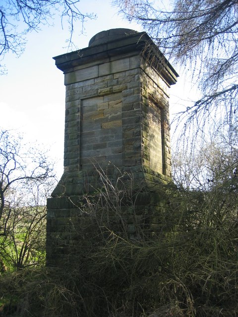
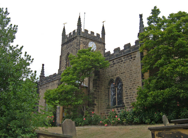
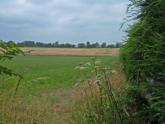
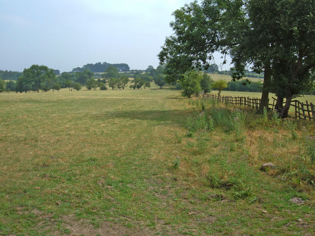
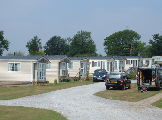
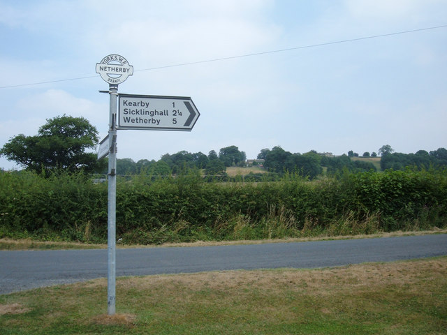
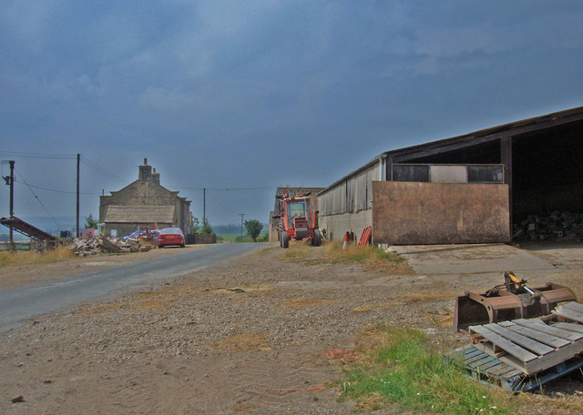
Barrowby Wood Images
Images are sourced within 2km of 53.928162/-1.4963091 or Grid Reference SE3348. Thanks to Geograph Open Source API. All images are credited.


Barrowby Wood is located at Grid Ref: SE3348 (Lat: 53.928162, Lng: -1.4963091)
Division: West Riding
Administrative County: North Yorkshire
District: Harrogate
Police Authority: North Yorkshire
What 3 Words
///conqueror.clerics.scoping. Near Spofforth, North Yorkshire
Nearby Locations
Related Wikis
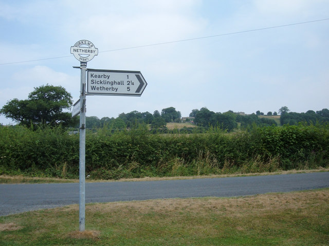
Kearby with Netherby
Kearby with Netherby is a civil parish in North Yorkshire, England. The parish includes the hamlets of Barrowby, Netherby and Kearby Town End. The parish...
Netherby, North Yorkshire
Netherby is a village in the Harrogate district of North Yorkshire, England.

Kirkby Overblow
Kirkby Overblow is a village and civil parish in North Yorkshire, England. It is situated between Wetherby and Harrogate and lies to the west of Sicklinghall...

Knight Air Flight 816
Knight Air Flight 816, being flown by G-OEAA, an Embraer 110 Bandeirante belonging to Knight Air, was an internal (domestic) scheduled flight operating...

Dunkeswick
Dunkeswick is a hamlet in the civil parish of Kirkby Overblow, in North Yorkshire, England, just north of the River Wharfe, off the A61, around a kilometre...

Harewood speed Hillclimb
Harewood speed Hillclimb (the form with italics and a lower-case s is used officially) is a hillclimb near the village of Harewood, West Yorkshire, England...
Harewood Castle
Harewood Castle is a 14th-century stone hall house and courtyard fortress, located on the Harewood Estate, Harewood, in West Yorkshire, England (Grid Reference...

Sicklinghall
Sicklinghall is a village and civil parish in North Yorkshire, England that is situated between the town of Wetherby (3 miles (5 km) to the east) and the...
Nearby Amenities
Located within 500m of 53.928162,-1.4963091Have you been to Barrowby Wood?
Leave your review of Barrowby Wood below (or comments, questions and feedback).