Cotton Mill Spinney

Wood, Forest in Warwickshire Warwick

England

Cotton Mill Spinney

HS2 enabling works near Cubbington, September 2021 (5) New fences and gates have been erected alongside the B4453 Rugby Road. This is in advance of the road being diverted to cross HS2 by an overbridge yet to be built. The stretch of footpath W130b behind the camera will be closed and will instead follow the road north to its diversion along the south side of North Cubbington Wood. <span class="nowrap"><a title="https://assets.publishing.service.gov.uk/government/uploads/system/uploads/attachment_data/file/532882/C223-CSI-CV-DPP-030-000004-FPD.pdf" rel="nofollow ugc noopener" href="https://assets.publishing.service.gov.uk/government/uploads/system/uploads/attachment_data/file/532882/C223-CSI-CV-DPP-030-000004-FPD.pdf">Link</a><img style="margin-left:2px;" alt="External link" title="External link - shift click to open in new window" src="https://s1.geograph.org.uk/img/external.png" width="10" height="10"/></span>
HS2 enabling works near Cubbington, September 2021 (5) Credit: Robin Stott

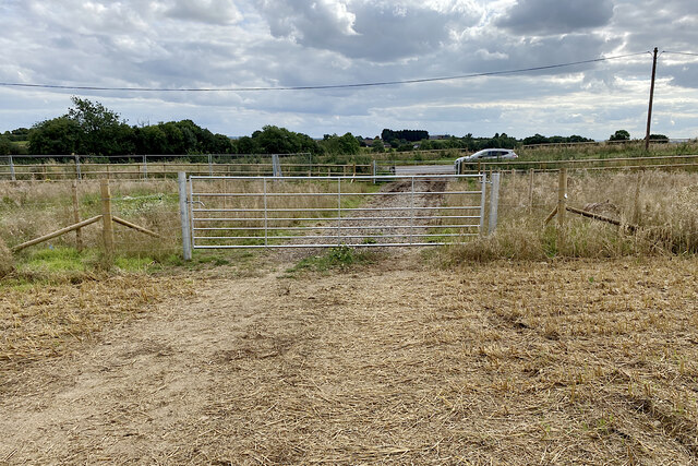
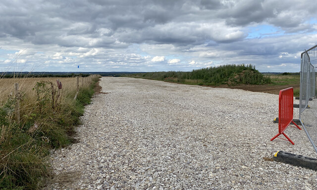
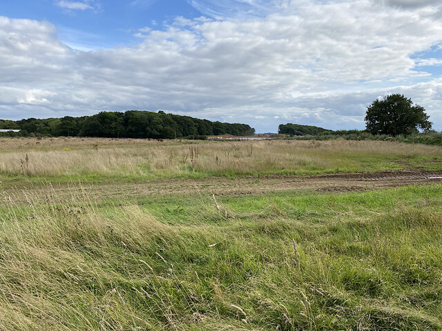
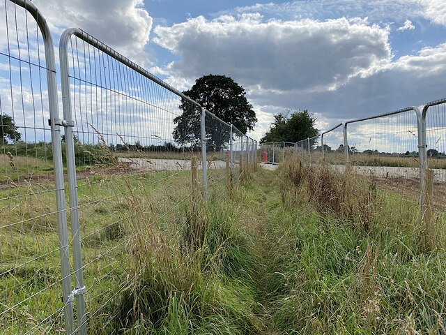
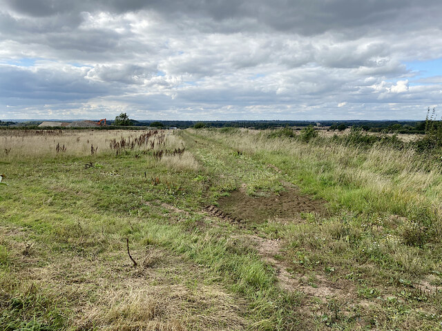
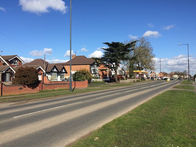
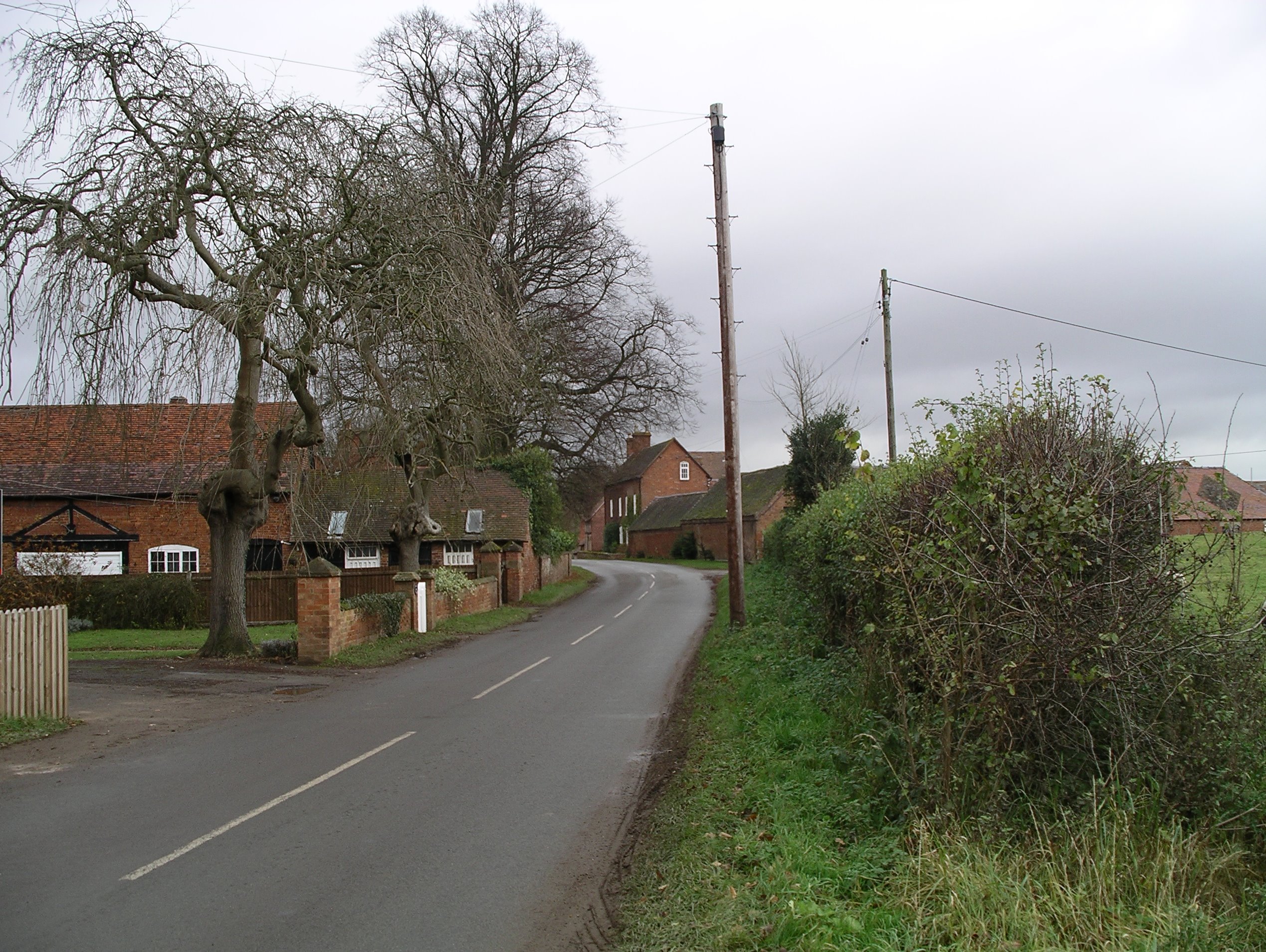
Cotton Mill Spinney is a woodland area located in Warwickshire, England. It is known for its picturesque beauty and diverse ecosystem. The spinney covers an area of approximately 50 acres and is home to a variety of plant and animal species.

The woodland is characterized by its dense canopy of trees, predominantly consisting of oak, beech, and birch. These trees provide a habitat for a wide range of bird species, including woodpeckers, owls, and various songbirds. The forest floor is covered in a lush carpet of ferns, mosses, and wildflowers, creating a vibrant and colorful landscape.

Cotton Mill Spinney is intersected by a small stream, which adds to its natural charm. The stream not only provides a water source for the wildlife but also creates a soothing atmosphere, with the gentle sound of running water.

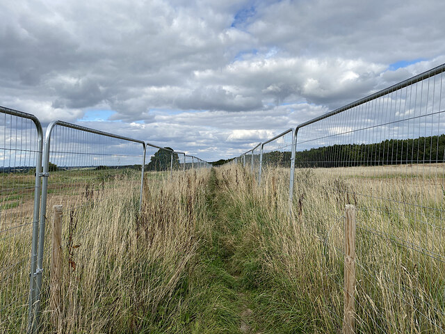
This woodland is a popular destination for nature enthusiasts and hikers, offering several walking trails that wind through the trees. Visitors can enjoy the tranquility of the surroundings and observe the wildlife in its natural habitat. The spinney is also a great spot for picnics, with designated areas equipped with picnic tables and benches.

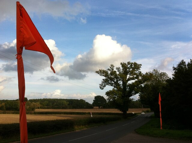
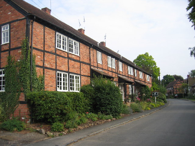
Cotton Mill Spinney is easily accessible, located just a short distance from the town center. It is a cherished natural haven for both locals and tourists, providing a peaceful escape from the hustle and bustle of everyday life.

If you have any feedback on the listing, please let us know in the comments section below.

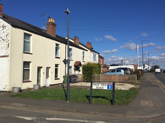
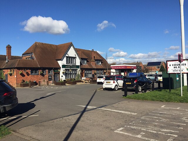
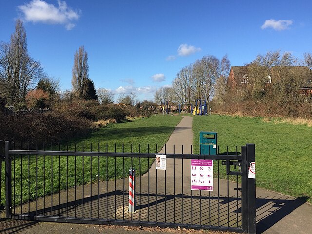
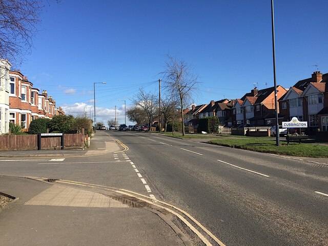
Cotton Mill Spinney Images

Images are sourced within 2km of 52.326663/-1.5162979 or Grid Reference SP3369. Thanks to Geograph Open Source API. All images are credited.

HS2 enabling works near Cubbington, September 2021 (5) New fences and gates have been erected alongside the B4453 Rugby Road. This is in advance of the road being diverted to cross HS2 by an overbridge yet to be built. The stretch of footpath W130b behind the camera will be closed and will instead follow the road north to its diversion along the south side of North Cubbington Wood. <span class="nowrap"><a title="https://assets.publishing.service.gov.uk/government/uploads/system/uploads/attachment_data/file/532882/C223-CSI-CV-DPP-030-000004-FPD.pdf" rel="nofollow ugc noopener" href="https://assets.publishing.service.gov.uk/government/uploads/system/uploads/attachment_data/file/532882/C223-CSI-CV-DPP-030-000004-FPD.pdf">Link</a><img style="margin-left:2px;" alt="External link" title="External link - shift click to open in new window" src="https://s1.geograph.org.uk/img/external.png" width="10" height="10"/></span>
HS2 enabling works near Cubbington, September 2021 (5)
New fences and gates have been erected alongside the B4453 Rugby Road. This is in advance of the road being diverted to cross HS2 by an overbridge yet to be built. The stretch of footpath W130b behind the camera will be closed and will instead follow the road north to its diversion along the south side of North Cubbington Wood. LinkExternal link
HS2 enabling works near Cubbington, September 2021 (6) This is the line of the haul road parallel to the railway, which will be in a cutting across the land to the right: lots of earth to be moved! The view is northwest from footpath W130b; locations are estimated.
HS2 enabling works near Cubbington, September 2021 (6)
This is the line of the haul road parallel to the railway, which will be in a cutting across the land to the right: lots of earth to be moved! The view is northwest from footpath W130b; locations are estimated.
HS2 enabling works near Cubbington, September 2021 (7) This is farmland left uncultivated prior to the construction of HS2. The line will run somewhere to the left of the camera from the gap cut through South Cubbington Wood, just right of centre <a href="https://www.geograph.org.uk/photo/6976653">SP3568 : HS2 enabling works near Cubbington, September 2021 (4)</a>. The contractor's compound can be seen; the telephone poles mark the line of the B4453 Rugby Road, which will cross HS2 by an overbridge. On the right is the start of North Cubbington Wood.
HS2 enabling works near Cubbington, September 2021 (7)
This is farmland left uncultivated prior to the construction of HS2. The line will run somewhere to the left of the camera from the gap cut through South Cubbington Wood, just right of centre SP3568 : HS2 enabling works near Cubbington, September 2021 (4). The contractor's compound can be seen; the telephone poles mark the line of the B4453 Rugby Road, which will cross HS2 by an overbridge. On the right is the start of North Cubbington Wood.
HS2 enabling works near Cubbington, September 2021 (8) Footpath W130b is confined by fences across the area of forthcoming HS2 construction; at some point it will be closed and diverted. On the left is North Cubbington Wood, which will be untouched by the railway. Locations are estimated.
HS2 enabling works near Cubbington, September 2021 (8)
Footpath W130b is confined by fences across the area of forthcoming HS2 construction; at some point it will be closed and diverted. On the left is North Cubbington Wood, which will be untouched by the railway. Locations are estimated.
HS2 enabling works near Cubbington, September 2021 (9) Looking southwest along footpath W130b, fenced across the area of railway construction. The haul road in <a href="https://www.geograph.org.uk/photo/6981073">SP3469 : HS2 enabling works near Cubbington, September 2021 (6)</a> can be seen. When work starts the footpath will be permanently diverted. Locations are estimated.
HS2 enabling works near Cubbington, September 2021 (9)
Looking southwest along footpath W130b, fenced across the area of railway construction. The haul road in SP3469 : HS2 enabling works near Cubbington, September 2021 (6) can be seen. When work starts the footpath will be permanently diverted. Locations are estimated.
HS2 enabling works near Cubbington, September 2021 (10) This land has been fenced and left uncultivated. Somewhere in the middle distance HS2 will be in a cutting heading somewhat to the right. On the left here a solitary machine is moving earth near the Coventry Road out of Cubbington, which will be diverted to cross the railway by an overbridge. Locations are estimated. Tanner's Barn near here, shown on the 1:25 k map, appears to have been demolished in the past. <span class="nowrap"><a title="https://assets.publishing.service.gov.uk/government/uploads/system/uploads/attachment_data/file/532882/C223-CSI-CV-DPP-030-000004-FPD.pdf" rel="nofollow ugc noopener" href="https://assets.publishing.service.gov.uk/government/uploads/system/uploads/attachment_data/file/532882/C223-CSI-CV-DPP-030-000004-FPD.pdf">Link</a><img style="margin-left:2px;" alt="External link" title="External link - shift click to open in new window" src="https://s1.geograph.org.uk/img/external.png" width="10" height="10"/></span>
HS2 enabling works near Cubbington, September 2021 (10)
This land has been fenced and left uncultivated. Somewhere in the middle distance HS2 will be in a cutting heading somewhat to the right. On the left here a solitary machine is moving earth near the Coventry Road out of Cubbington, which will be diverted to cross the railway by an overbridge. Locations are estimated. Tanner's Barn near here, shown on the 1:25 k map, appears to have been demolished in the past. LinkExternal link
HS2 enabling works near Cubbington, September 2021 (11) The view is south along Coventry Road towards Cubbington: a racetrack. HS2 will come out of the skyline left of centre and cross roughly where the solitary digger is working. Coventry Road will be diverted on to an overbridge, landing somewhere here judging by the fencing, left. Note the tree stump. Locations are estimated
HS2 enabling works near Cubbington, September 2021 (11)
The view is south along Coventry Road towards Cubbington: a racetrack. HS2 will come out of the skyline left of centre and cross roughly where the solitary digger is working. Coventry Road will be diverted on to an overbridge, landing somewhere here judging by the fencing, left. Note the tree stump. Locations are estimated
HS2 enabling works near Cubbington, September 2021 (12) The fencing and land left uncultivated are the clues. HS2 will come through here on its way to Stoneleigh Business Park. The view is from Coventry Road north of the village. Locations are estimated.
HS2 enabling works near Cubbington, September 2021 (12)
The fencing and land left uncultivated are the clues. HS2 will come through here on its way to Stoneleigh Business Park. The view is from Coventry Road north of the village. Locations are estimated.
HS2 enabling works near Cubbington, September 2021 (13) A sign by the Coventry Road approaching the village warns of HS2 site N11 Gate 16. Materials will be brought to site and material will be taken away. A lone digger works atop a pile of earth or stone. The road will be diverted to an overbridge to cross the railway.
HS2 enabling works near Cubbington, September 2021 (13)
A sign by the Coventry Road approaching the village warns of HS2 site N11 Gate 16. Materials will be brought to site and material will be taken away. A lone digger works atop a pile of earth or stone. The road will be diverted to an overbridge to cross the railway.
HS2 enabling works near Cubbington, September 2021 (14) HS2 site N11 Gate 16 is by the Coventry Road north of the village.
HS2 enabling works near Cubbington, September 2021 (14)
HS2 site N11 Gate 16 is by the Coventry Road north of the village.
HS2 enabling works near Cubbington, September 2021 (15) A lone digger works atop a pile of earth and stone at site N11. The Coventry Road will be diverted on to an overbridge to cross the railway. Note the tree stump. Locations are estimated.
HS2 enabling works near Cubbington, September 2021 (15)
A lone digger works atop a pile of earth and stone at site N11. The Coventry Road will be diverted on to an overbridge to cross the railway. Note the tree stump. Locations are estimated.
Bericote Lane with Nishan Sahib This view over Bericote Lane, Blackdown, looking towards Bericote Wood, is framed by a pair of saffron-coloured Nishan Sahib flags, the 'exalted ensign' of the Khalsa Panth of initiated Sikhs. They stand outside the entrance to the Baba Ke gurdwara or Sikh temple on the northern outskirts of Leamington Spa, which is unusual in Britain for its rural setting. For more on the Nishan Sahib see the Sikh Museum website here <span class="nowrap"><a title="http://www.sikhmuseum.com/nishan/index.html" rel="nofollow ugc noopener" href="http://www.sikhmuseum.com/nishan/index.html">Link</a><img style="margin-left:2px;" alt="External link" title="External link - shift click to open in new window" src="https://s1.geograph.org.uk/img/external.png" width="10" height="10"/></span> .
Bericote Lane with Nishan Sahib
This view over Bericote Lane, Blackdown, looking towards Bericote Wood, is framed by a pair of saffron-coloured Nishan Sahib flags, the 'exalted ensign' of the Khalsa Panth of initiated Sikhs. They stand outside the entrance to the Baba Ke gurdwara or Sikh temple on the northern outskirts of Leamington Spa, which is unusual in Britain for its rural setting. For more on the Nishan Sahib see the Sikh Museum website here LinkExternal link .
Bungalows, Cubbington Road, Cubbington, Royal Leamington Spa
Cottages, corner of High View Road and Cubbington Road, Cubbington
Rugby Tavern and Sainsbury's Local, Cubbington Road, Cubbington
Cubbington Waterworks Park and play area, Cubbington The Cubbington Road entrance. The houses on the right are off South View Road.
Cubbington Waterworks Park and play area, Cubbington
The Cubbington Road entrance. The houses on the right are off South View Road.
The corner of South View Road and Cubbington Road, Cubbington
Cubbington Road approaching the Windmill Hill crossroads, Cubbington
Show me another place!

Cotton Mill Spinney is located at Grid Ref: SP3369 (Lat: 52.326663, Lng: -1.5162979)

Administrative County: Warwickshire

District: Warwick

Police Authority: Warwickshire

What 3 Words

///phones.fires.mutual. Near Leek Wootton, Warwickshire

Nearby Locations

Cotton Mill Spinney

Related Wikis

A445 road

The A445 road is a road in Warwickshire, England. It runs between the town of Warwick and the A45, also passing through the north of Leamington Spa. The...

Stareton

Stareton is a small hamlet in Warwickshire, England. The population is included within Stoneleigh parish. It is situated about half a mile from Stoneleigh...

Rare Breeds Survival Trust

The Rare Breeds Survival Trust is a conservation charity whose purpose is to secure the continued existence and viability of the native farm animal genetic...

Stoneleigh Abbey

Stoneleigh Abbey is an English country house and estate situated south of Coventry. Nearby is the village of Stoneleigh, Warwickshire. The Abbey itself...

Ashow

Ashow is a small village and civil parish in the Warwick district of Warwickshire, England, about 2.5 miles (4 km) south-east of central Kenilworth. According...

Blackdown, Warwickshire

Blackdown is a hamlet and civil parish in the Warwick district of Warwickshire, England. Blackdown is about two miles north of Leamington Spa, between...

Stoneleigh Abbey Gatehouse

Stoneleigh Abbey Gatehouse is the 14th century gatehouse to the medieval Stoneleigh Abbey which was established near Stoneleigh, Warwickshire in the 12th...

Stoneleigh Park

Stoneleigh Park, known between 1963 and 2013 as the National Agricultural Centre, is a business park located south-west of the village of Stoneleigh, Warwickshire...

Have you been to Cotton Mill Spinney?

Leave your review of Cotton Mill Spinney below (or comments, questions and feedback).