The Rough
Wood, Forest in Warwickshire Warwick
England
The Rough
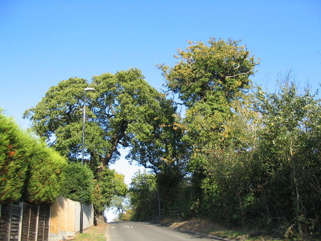
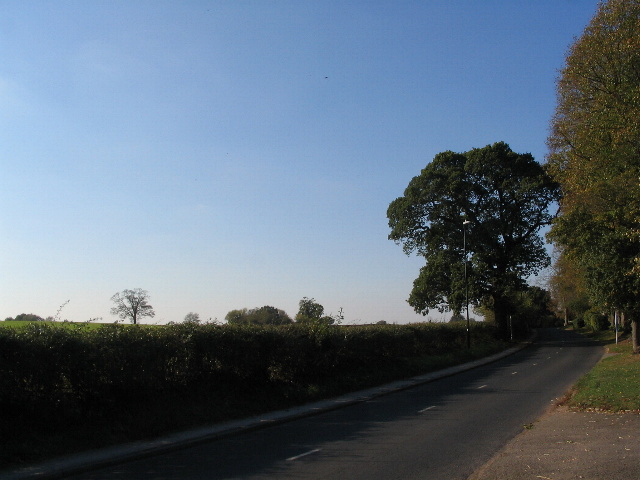
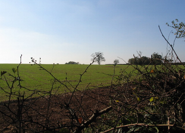
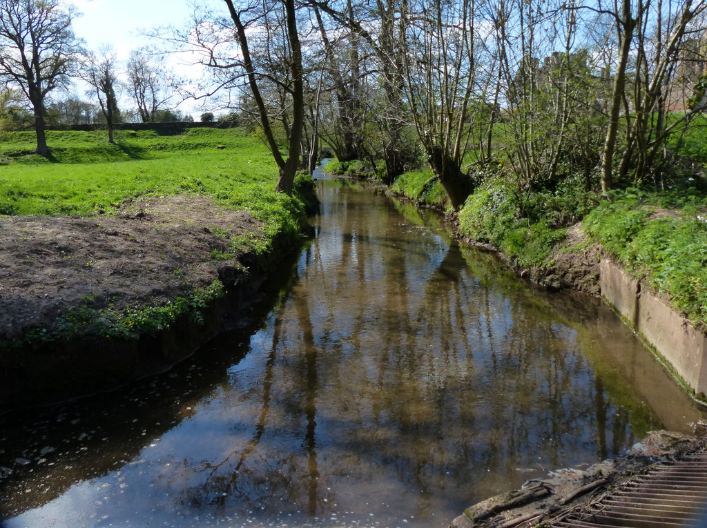
The Rough, located in Warwickshire, is a serene woodland area known for its natural beauty and diverse ecosystem. Spread across a vast expanse, this forest provides a haven for both plant and animal species. The Rough is home to a variety of trees, including oak, beech, and birch, which create a dense canopy that shades the forest floor. The undergrowth is filled with a rich assortment of wildflowers, ferns, and mosses, adding to the area's enchanting atmosphere.
The forest is teeming with wildlife, making it a popular spot for nature enthusiasts and birdwatchers. The Rough is known for its resident bird species such as the Great Spotted Woodpecker, the Tawny Owl, and the European Robin. Additionally, the forest is home to mammals like badgers, foxes, and deer, which can often be spotted roaming the woodland.
Visitors to The Rough can explore the forest through various walking trails that wind through the trees, providing an opportunity to immerse oneself in nature. The peaceful atmosphere and lush surroundings make it an ideal place for leisurely strolls, picnics, and photography.
The Rough, Warwickshire is not only a natural treasure but also an important conservation area. Efforts are made to preserve the forest's ecosystem and protect its inhabitants. Various educational programs and guided tours are organized to raise awareness about the importance of forest conservation and the significance of biodiversity.
Overall, The Rough offers a tranquil retreat for nature lovers, with its picturesque woodlands, diverse wildlife, and commitment to conservation. It serves as a reminder of the beauty and value of preserving natural habitats in an increasingly urbanized world.
If you have any feedback on the listing, please let us know in the comments section below.
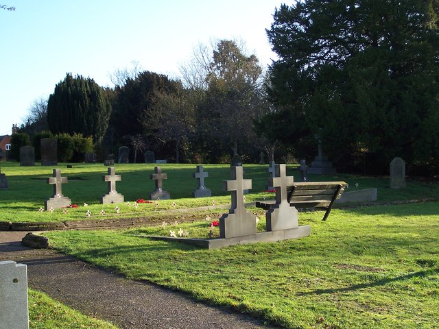
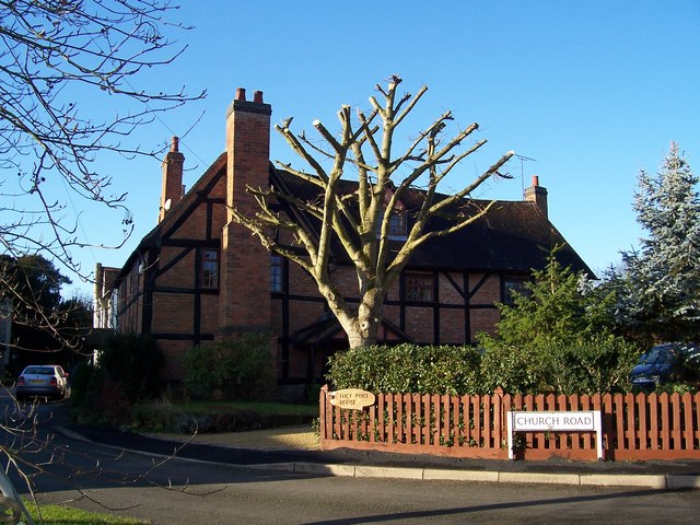
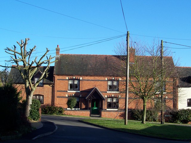
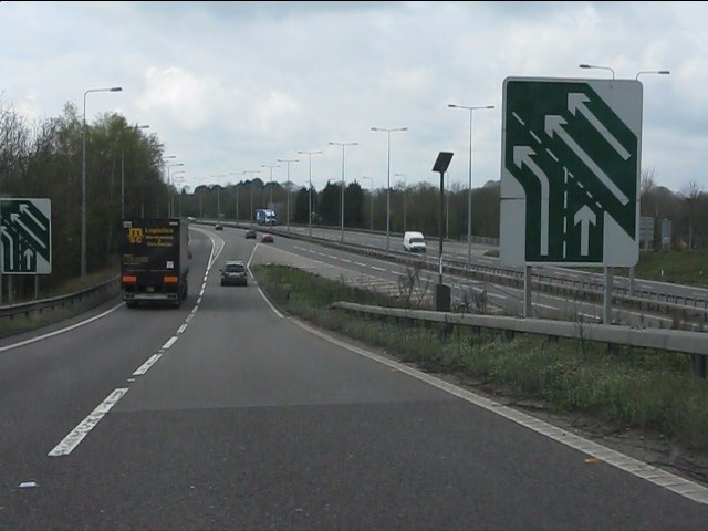
The Rough Images
Images are sourced within 2km of 52.361025/-1.516481 or Grid Reference SP3373. Thanks to Geograph Open Source API. All images are credited.


The Rough is located at Grid Ref: SP3373 (Lat: 52.361025, Lng: -1.516481)
Administrative County: Warwickshire
District: Warwick
Police Authority: Warwickshire
What 3 Words
///fingernails.sport.translated. Near Kenilworth, Warwickshire
Nearby Locations
Related Wikis
Finham Brook
The Finham Brook is a lower tributary of the River Sowe, it flows through Kenilworth and Warwickshire, England, to join the Sowe near Finham. Its principal...
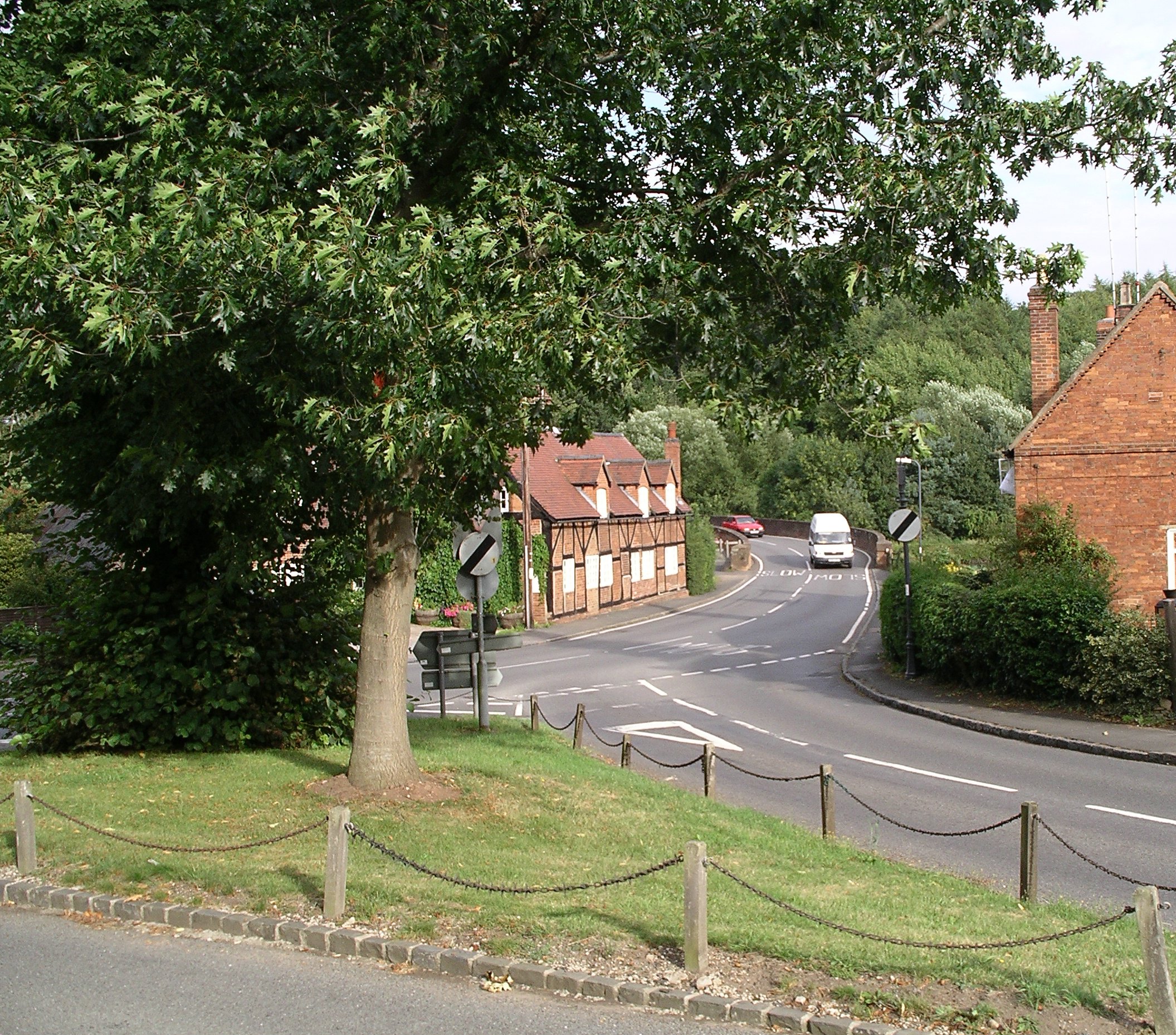
Stoneleigh, Warwickshire
Stoneleigh is a small village in Warwickshire, England, on the River Sowe, situated 4.5 miles (7.25 km) south of Coventry and 5.5 miles (9 km) north of...
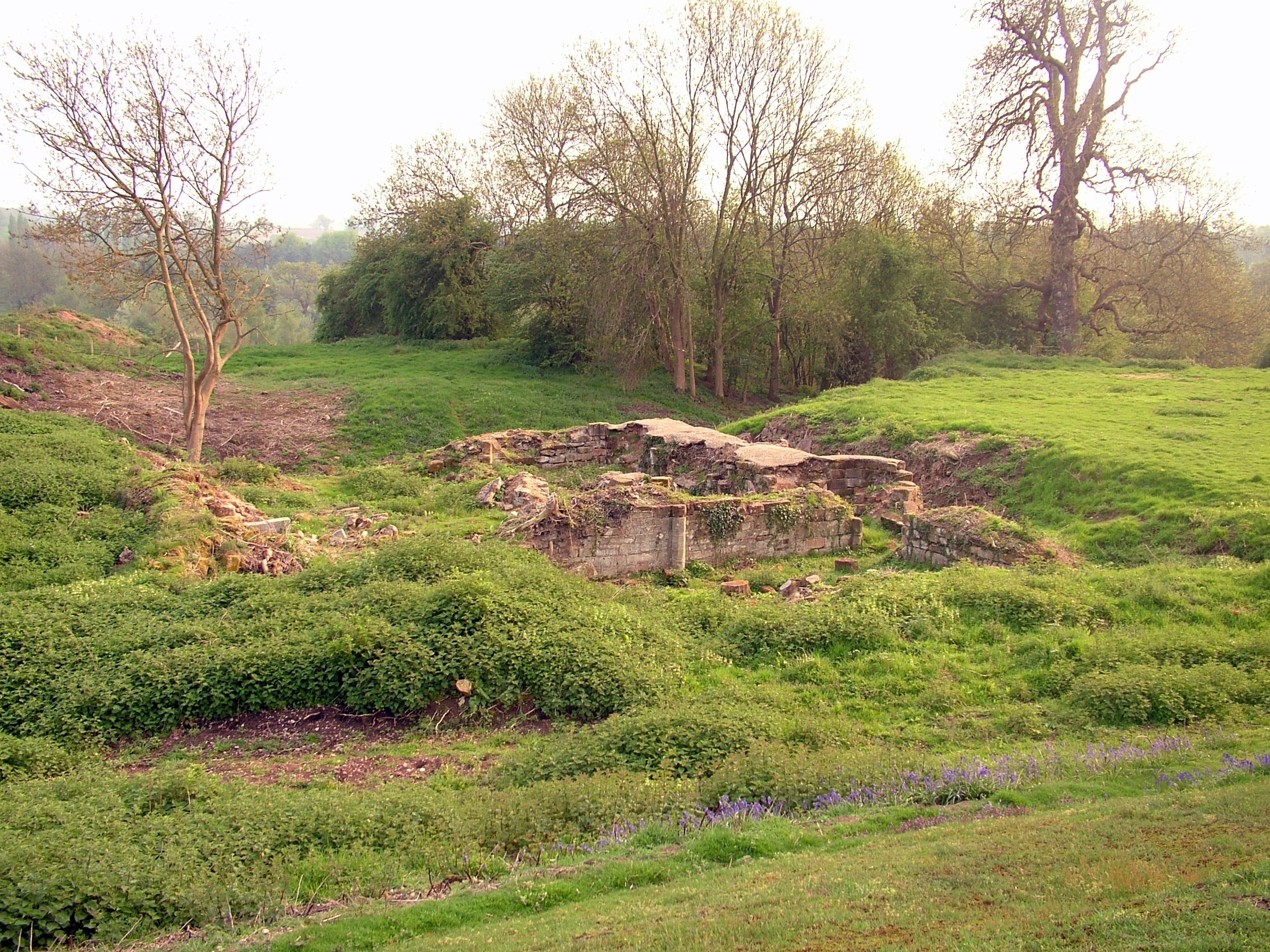
Baginton Castle
Baginton Castle, also known as Bagot's Castle, is a ruined castle in Baginton, Warwickshire, England. It was originally built in the 12th century by Geoffrey...

River Sowe
The River Sowe is a river in Warwickshire and West Midlands, England. It is a tributary of the River Avon, and flows into it just south of Stoneleigh...
Coventry Alvis F.C.
Coventry Alvis Football Club is a football club based in Coventry, West Midlands, England. They are currently members of the Midland League Division Two...
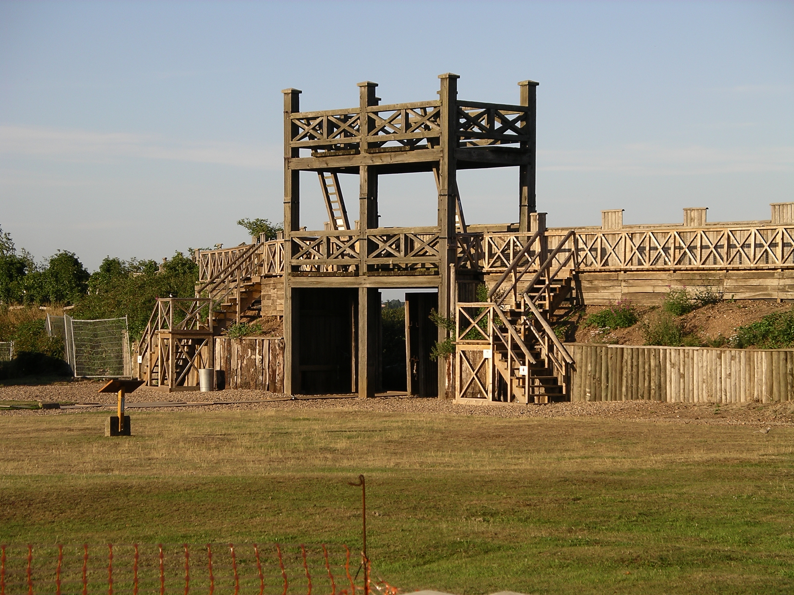
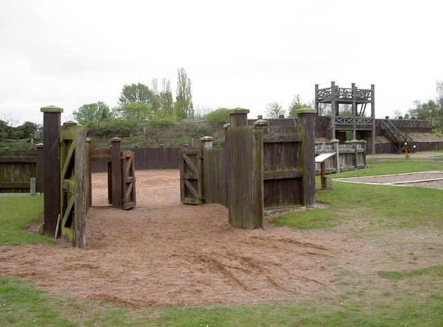
Lunt Roman Fort
The Lunt Roman Fort is the archaeological site of a Roman fort, of unknown name, in the Roman province of Britannia. It is open to the public and located...

Baginton
Baginton is a village and civil parish in the Warwick district of Warwickshire, England, and has a common border with the City of Coventry / West Midlands...
Stoneleigh Park
Stoneleigh Park, known between 1963 and 2013 as the National Agricultural Centre, is a business park located south-west of the village of Stoneleigh, Warwickshire...
Nearby Amenities
Located within 500m of 52.361025,-1.516481Have you been to The Rough?
Leave your review of The Rough below (or comments, questions and feedback).