Highdown Hill Plantation

Wood, Forest in Warwickshire Warwick

England

Highdown Hill Plantation

B4455 Fosse Way heading north A well preserved Roman route.
B4455 Fosse Way heading north Credit: Robin Webster

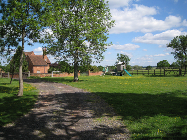
Highdown Hill Plantation is a picturesque woodland located in the county of Warwickshire, England. Covering an area of approximately 100 acres, this enchanting forest is nestled within the rolling hills of the region.

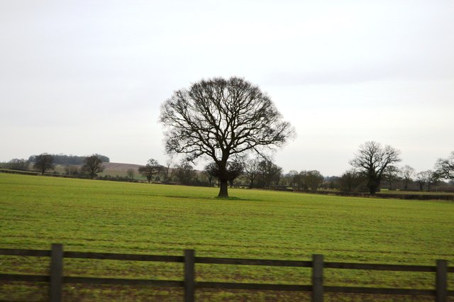
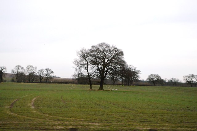
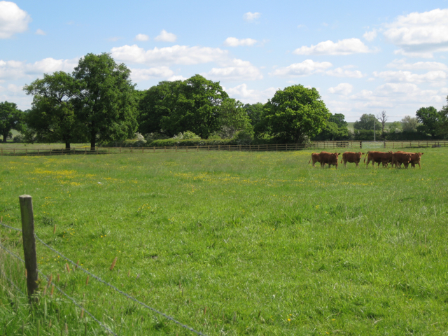
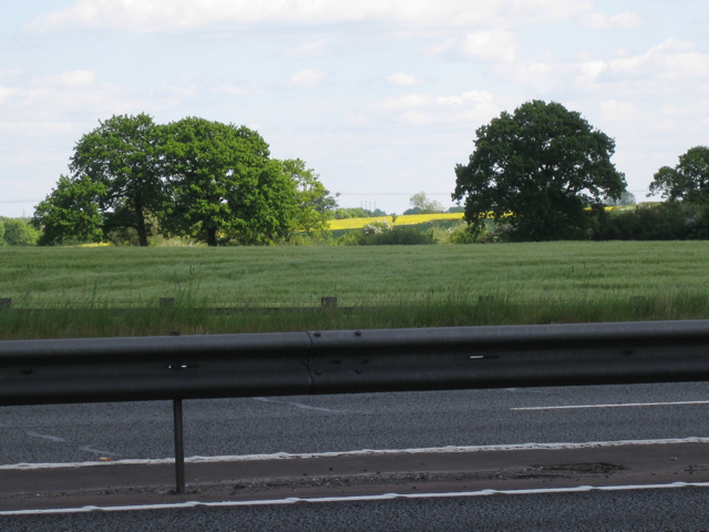
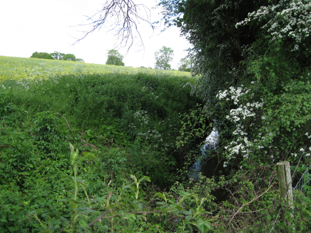
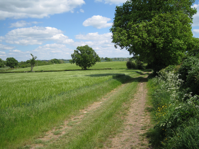
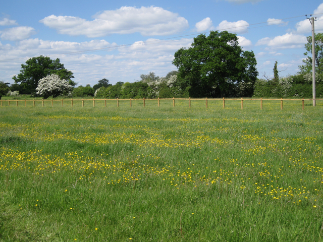
The woodland is predominantly composed of a variety of tall trees, including oak, beech, and maple, which create a dense canopy overhead. This lush vegetation provides a haven for a diverse range of wildlife, including deer, foxes, and a wide array of bird species.

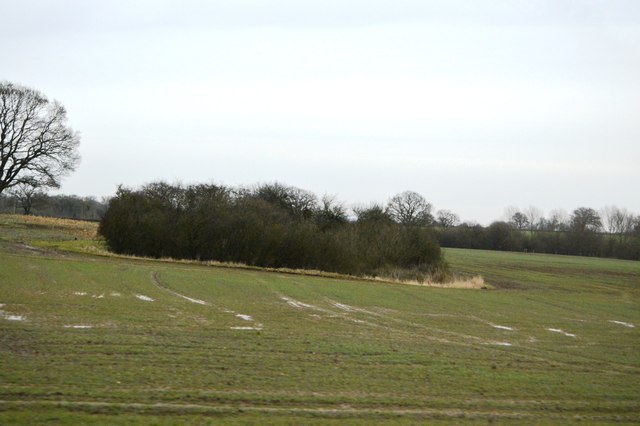
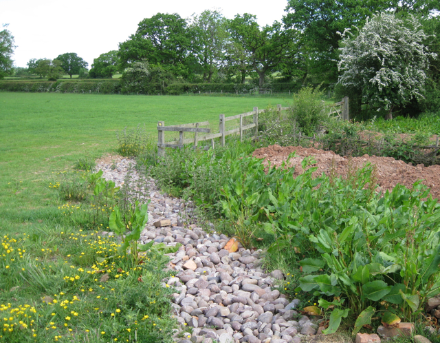
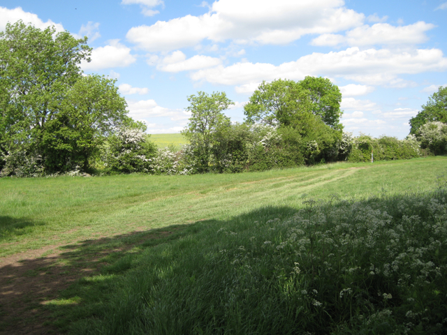
The plantation is crisscrossed by a network of well-maintained footpaths, allowing visitors to explore its natural beauty at their own pace. These paths wind through the woodland, offering panoramic views of the surrounding countryside and providing opportunities for peaceful walks and tranquil picnics.

Highdown Hill Plantation is also home to a number of historical features that add to its charm. The remnants of an ancient hill fort can be found at the top of the hill, providing a glimpse into the area's rich past. Additionally, there are several well-preserved dry stone walls that once marked the boundaries of the plantation, adding a touch of rustic character to the landscape.

The woodland is a popular destination for nature enthusiasts, hikers, and families looking for a day out in the countryside. The serene atmosphere, coupled with the abundance of flora and fauna, makes Highdown Hill Plantation a haven for those seeking solace in nature.

If you have any feedback on the listing, please let us know in the comments section below.

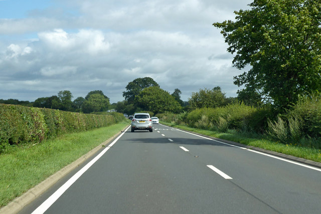
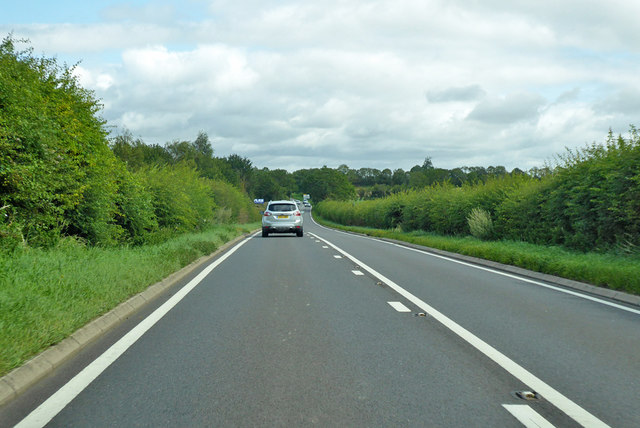
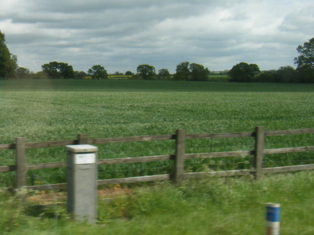
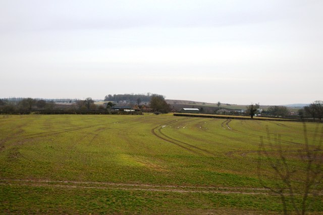
Highdown Hill Plantation Images

Images are sourced within 2km of 52.24712/-1.51936 or Grid Reference SP3261. Thanks to Geograph Open Source API. All images are credited.

B4455 Fosse Way heading north A well preserved Roman route.
B4455 Fosse Way heading north
A well preserved Roman route.
B4455 Fosse Way heading north A well preserved Roman route, here looking out of a 'Roman Town' over the ramparts, according to the map, but unnoticeable from the road.
B4455 Fosse Way heading north
A well preserved Roman route, here looking out of a 'Roman Town' over the ramparts, according to the map, but unnoticeable from the road.
Land east of Wiggerland Wood Farm seen from the M40
Farmland by the M40
Farmland by the M40
Isolated tree
Isolated tree
Isolated trees
Isolated trees
Wooded pond
Wooded pond
Wiggerland Wood Farm Seen from the footpath which has now been diverted to run along the drive past the  front of the farm rather than around past the back garden.
Wiggerland Wood Farm
Seen from the footpath which has now been diverted to run along the drive past the front of the farm rather than around past the back garden.
Broad hedgerow and brown cows
French drain of Bunter pebbles Wiggerland Wood Farm is shielded from the sight and sound of the M40 200m away by a bund <a href="https://www.geograph.org.uk/photo/1884581">SP3159 : Bund by M40 southbound: 1</a> which slopes back towards the farm. The French drain catches surface water before it reaches the property. At least, so I deduce. Beautiful pebbles.
French drain of Bunter pebbles
Wiggerland Wood Farm is shielded from the sight and sound of the M40 200m away by a bund SP3159 : Bund by M40 southbound: 1 which slopes back towards the farm. The French drain catches surface water before it reaches the property. At least, so I deduce. Beautiful pebbles.
Building materials, Wiggerland Wood Farm Some are reclaimed, others appear new. Conversion of the old farm buildings to residential use continues.
Building materials, Wiggerland Wood Farm
Some are reclaimed, others appear new. Conversion of the old farm buildings to residential use continues.
Wiggerland Wood Farm, early summer The barn, right, appears to be in mid-conversion to residential use.
Wiggerland Wood Farm, early summer
The barn, right, appears to be in mid-conversion to residential use.
Drive to Wiggerland Wood Farm
Flash of yellow across M40
A glimpse of the Tach Brook
A sharp bend in the Tach Brook
Fields of barley Looking along a track southeast of Middle Farm. My public footpath had disappeared on the ground and from the adjoining map sheet, so…
Fields of barley
Looking along a track southeast of Middle Farm. My public footpath had disappeared on the ground and from the adjoining map sheet, so…
Buttercups in lines Perhaps indicating ploughed-out ridge-and-furrow.
Buttercups in lines
Perhaps indicating ploughed-out ridge-and-furrow.
Show me another place!

Highdown Hill Plantation is located at Grid Ref: SP3261 (Lat: 52.24712, Lng: -1.51936)

Administrative County: Warwickshire

District: Warwick

Police Authority: Warwickshire

What 3 Words

///tricky.mixture.handrail. Near Royal Leamington Spa, Warwickshire

Nearby Locations

Highdown Hill Plantation

Related Wikis

Nearby Amenities

Located within 500m of 52.24712,-1.51936
Brand: National Grid
Brand Wikidata: Q1465461
Material: metal
Operator: National Grid Electricity Distribution
Operator Old: Western Power Distribution
Operator Wikidata: Q7988183
Owner: National Grid Electricity Distribution (East Midlands) Plc
Owner Wikidata: Q114348127
Power: tower
Source: bing
Structure: lattice
Lat/Long: 52.2509197/-1.5171024
Man Made: utility_pole
Material: wood
Lat/Long: 52.2485526/-1.5134417
Man Made: utility_pole
Material: wood
Lat/Long: 52.2484851/-1.5135472
Man Made: utility_pole
Material: wood
Lat/Long: 52.247912/-1.5122849
Man Made: utility_pole
Material: wood
Lat/Long: 52.2482007/-1.5128358
Man Made: utility_pole
Material: wood
Lat/Long: 52.2489718/-1.512926
Harbury Lane Army Surplus
Second Hand: yes
Shop: military_surplus
Source: survey
Website: https://www.instagram.com/armysurplus20/
Lat/Long: 52.2481867/-1.5125544
The data included in this document is from www.openstreetmap.org. The data is made available under ODbL.

Have you been to Highdown Hill Plantation?

Leave your review of Highdown Hill Plantation below (or comments, questions and feedback).