Hanwell Wood
Wood, Forest in Yorkshire Harrogate
England
Hanwell Wood

Hanwell Wood is a picturesque forest located in the county of Yorkshire, England. Covering an area of approximately 500 acres, it is known for its rich biodiversity and stunning natural beauty. The forest is situated in a rural setting, surrounded by rolling hills and meandering streams, providing a tranquil escape from the bustling city life.
Hanwell Wood is home to a diverse range of flora and fauna, making it a popular destination for nature enthusiasts and wildlife lovers. The forest is predominantly composed of deciduous trees such as oak, beech, and birch, creating a vibrant and colorful landscape during the autumn months. Bluebells carpet the forest floor in spring, adding a touch of enchantment to the surroundings.
The wood offers various walking trails and pathways, allowing visitors to explore its hidden treasures. These trails provide opportunities to observe a variety of wildlife, including deer, foxes, badgers, and a multitude of bird species. The peaceful ambiance and natural serenity of Hanwell Wood make it an ideal location for birdwatching and photography.
Additionally, the forest is equipped with picnic areas and benches, providing visitors with a chance to relax and enjoy a meal amidst nature's splendor. Hanwell Wood also offers educational programs and guided tours, catering to school groups and other organizations interested in learning about the forest's ecosystem and conservation efforts.
In conclusion, Hanwell Wood in Yorkshire is a captivating woodland that offers a sanctuary for both flora and fauna. With its stunning landscapes, abundant wildlife, and recreational activities, it is a haven for nature lovers and a must-visit destination for anyone seeking solace in the beauty of the natural world.
If you have any feedback on the listing, please let us know in the comments section below.
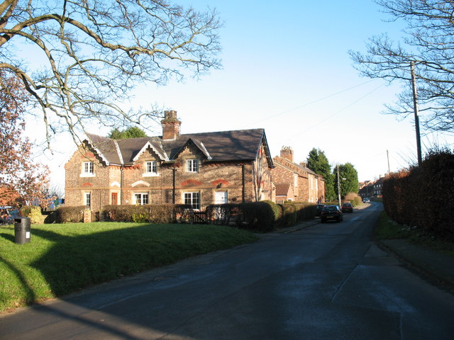
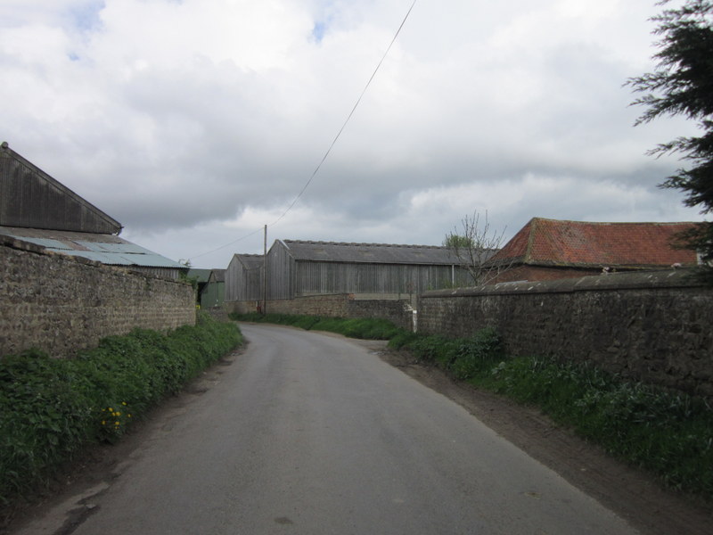
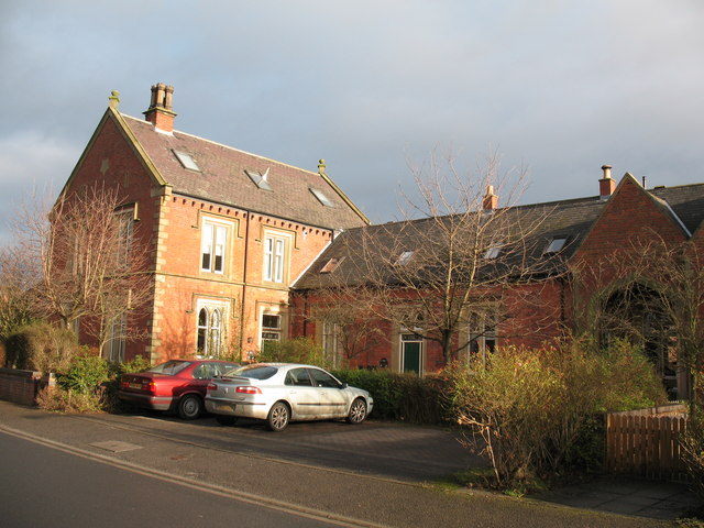
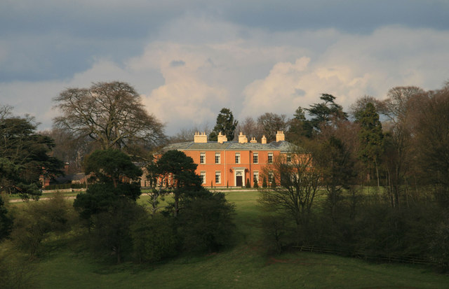
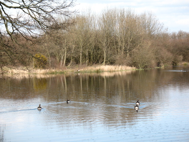
Hanwell Wood Images
Images are sourced within 2km of 54.159884/-1.4987229 or Grid Reference SE3273. Thanks to Geograph Open Source API. All images are credited.


Hanwell Wood is located at Grid Ref: SE3273 (Lat: 54.159884, Lng: -1.4987229)
Division: North Riding
Administrative County: North Yorkshire
District: Harrogate
Police Authority: North Yorkshire
What 3 Words
///difficult.unravel.freshest. Near Ripon, North Yorkshire
Nearby Locations
Related Wikis
Hutton Conyers
Hutton Conyers is a village and civil parish in the Harrogate district of North Yorkshire, England. It is situated near the River Ure and 1-mile (1.6...
Nunwick
Nunwick is a village in the Harrogate district of North Yorkshire, England. It is about 1 mile north-east of Ripon. Nunwick was historically a township...
Ripon railway station
Ripon railway station was a railway station that served Ripon, North Yorkshire, England on the Leeds-Northallerton Line that ran between Harrogate and...
Sharow
Sharow is a village and civil parish in the Harrogate district of North Yorkshire, England. It is about 1 mile (1.6 km) north-east of Ripon. The name...
Ripon Parks
Ripon Parks is a Site of Special Scientific Interest, or SSSI, situated north of Ripon, to the west of the River Ure and to the east of the village of...
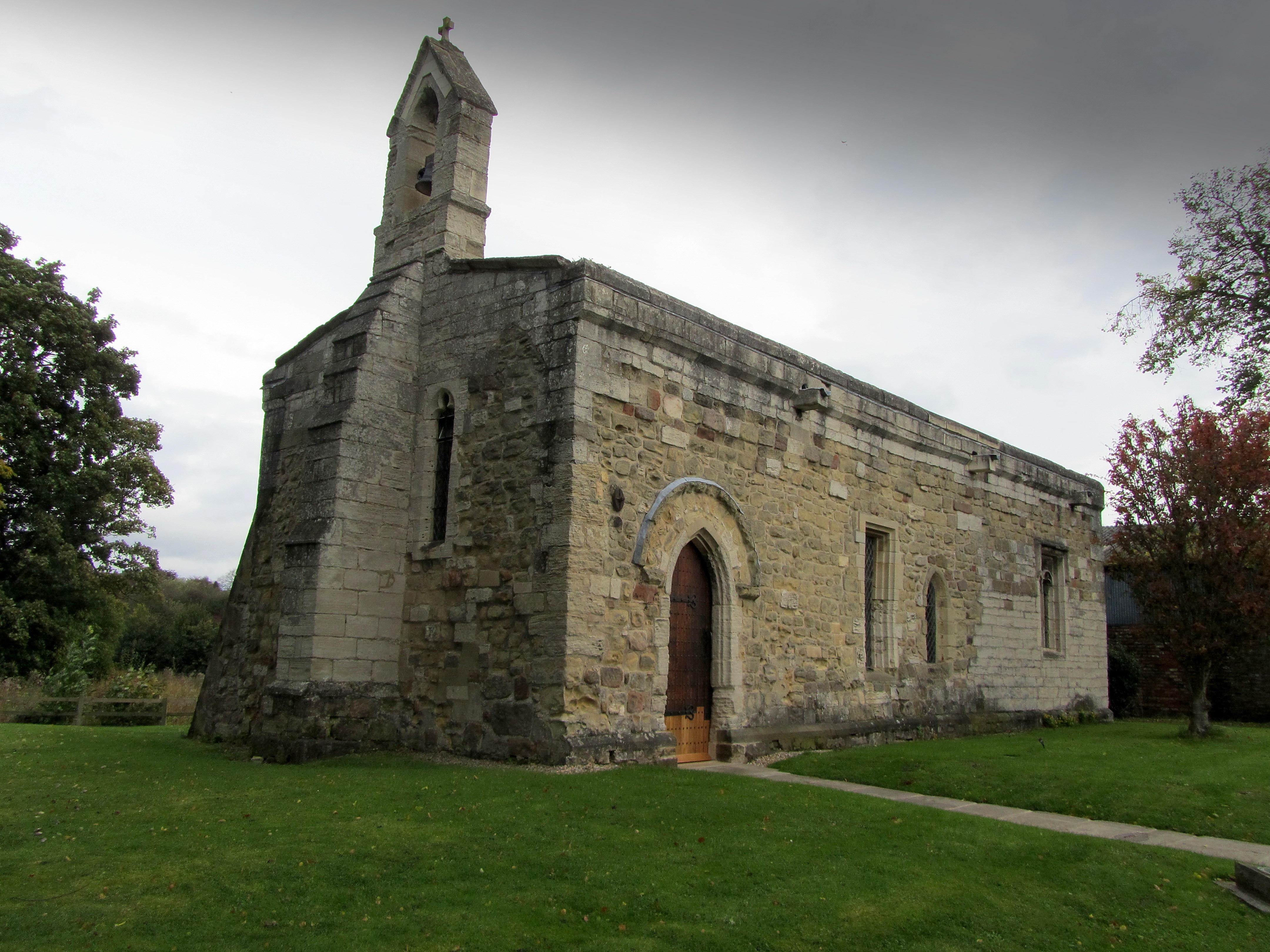
Chapel of St Mary Magdalen, Ripon
The Chapel of St Mary Magdalen, Ripon (sometimes listed as St Mary Magdalene, or St Mary Magdalen (Leper) Chapel, Ripon), is an active Anglican church...

Norton Conyers
Norton Conyers is a civil parish in North Yorkshire, England, 3 miles (5 km) north of Ripon. There is no modern village in the parish. Most of the parish...

Norton Conyers House
Norton Conyers House is a grade II* listed late medieval manor house with Stuart and Georgian additions sited in North Yorkshire, England, some 4 miles...
Related Videos

Cath singing cover songs at Riverside Meadows, Ripon, North Yorkshire. August 2022
Cath having a bank Holiday session at riverside meadows, Ripon, North Yorkshire. Not synchronised. Watermelon Sugar High ...
British Army Shooting 🇬🇧🇬🇧
For starters, i wasn't trespassing on military grounds, there is actually a public footpath that goes right past the Ripon Barrack's ...
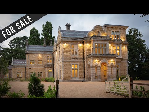
Luxury Highfield Apartments in Ripon, North Yorkshire
Located in Ripon, North Yorkshire, this modern development is an ideal option for those seeking a luxury apartment in North of ...
Nearby Amenities
Located within 500m of 54.159884,-1.4987229Have you been to Hanwell Wood?
Leave your review of Hanwell Wood below (or comments, questions and feedback).