Addyman Wood
Wood, Forest in Yorkshire
England
Addyman Wood
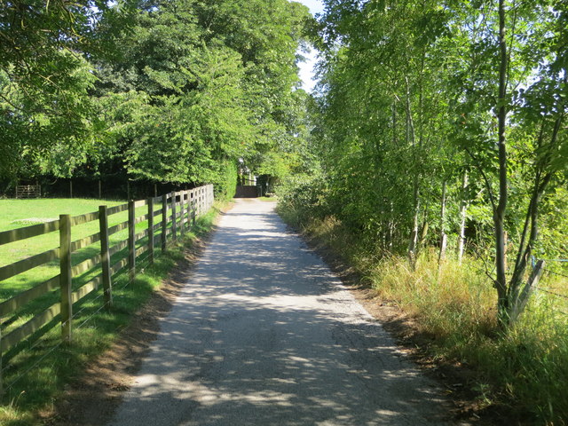
Addyman Wood is a picturesque woodland located in Yorkshire, England. Nestled amidst the rolling hills of the Yorkshire Dales, this forested area offers a peaceful retreat for nature enthusiasts and hikers alike.
Covering an area of approximately 100 acres, Addyman Wood is predominantly composed of native broadleaf trees such as oak, ash, and beech. These trees create a dense canopy, providing a cool and shaded environment for both wildlife and visitors. The forest floor is adorned with a rich carpet of wildflowers, adding bursts of color to the landscape during the spring and summer months.
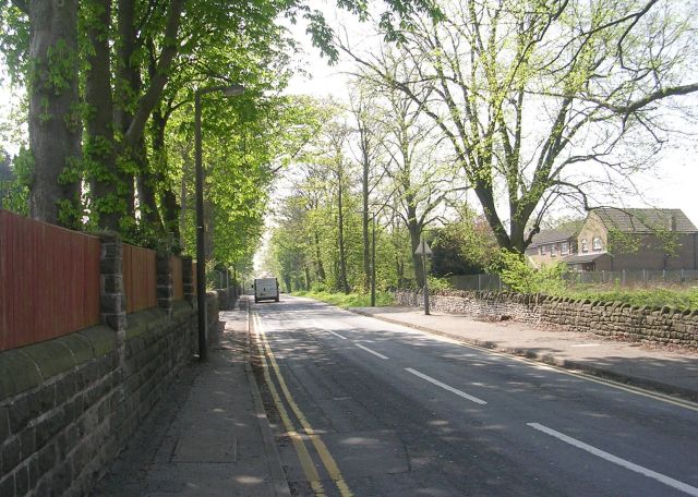
The woodland is crisscrossed by a network of well-maintained footpaths, allowing visitors to explore the area at their own pace. These trails lead to hidden gems such as a babbling stream, where one can pause to appreciate the soothing sound of flowing water. Additionally, there are several benches strategically placed within the wood, providing perfect spots for contemplation or a picnic amidst nature.
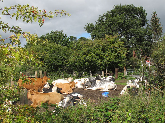
Addyman Wood is a haven for wildlife, with various species calling it home. Birdwatchers can spot a wide array of species, including woodpeckers, thrushes, and owls, while small mammals like squirrels and rabbits can be seen darting through the undergrowth. The diversity of flora and fauna in Addyman Wood makes it a popular destination for nature lovers and photographers.
Overall, Addyman Wood offers a tranquil and idyllic setting for those seeking respite from the hustle and bustle of everyday life. With its stunning natural beauty and abundant wildlife, it is a must-visit destination for anyone exploring Yorkshire's scenic wonders.
If you have any feedback on the listing, please let us know in the comments section below.
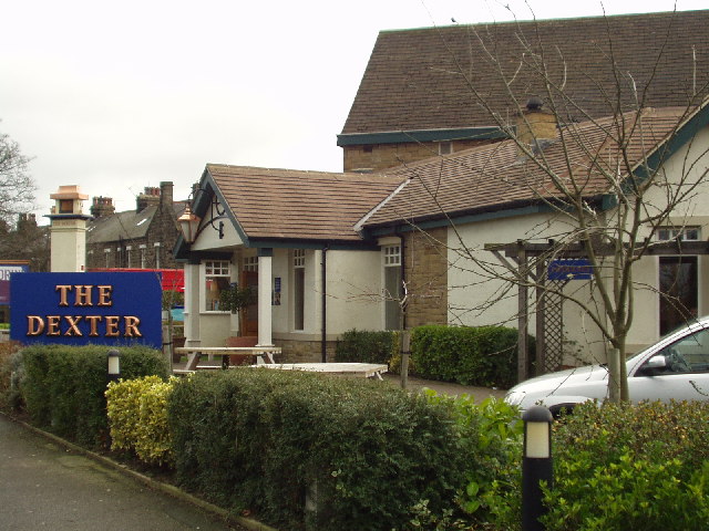
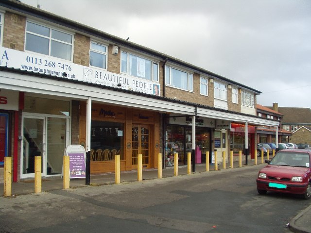
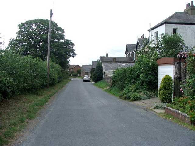
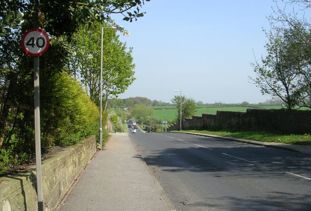
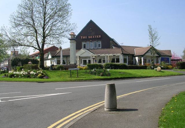
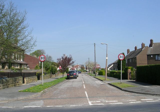
Addyman Wood Images
Images are sourced within 2km of 53.848657/-1.5033132 or Grid Reference SE3239. Thanks to Geograph Open Source API. All images are credited.


Addyman Wood is located at Grid Ref: SE3239 (Lat: 53.848657, Lng: -1.5033132)
Division: West Riding
Unitary Authority: Leeds
Police Authority: West Yorkshire
What 3 Words
///spell.ants.kick. Near Shadwell, West Yorkshire
Nearby Locations
Related Wikis
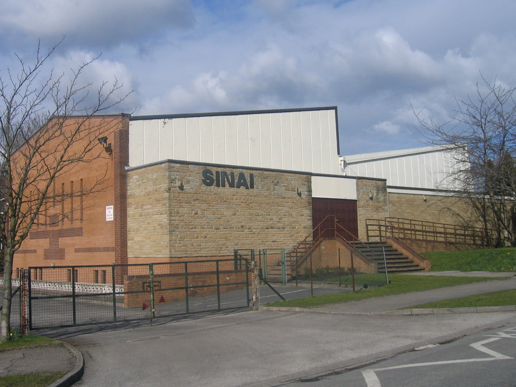
Sinai Synagogue (Leeds)
Sinai Synagogue is a Reform Jewish congregation on Roman Avenue in Roundhay, Leeds, West Yorkshire, England. It was founded in 1944 and is affiliated to...

Leeds North East (UK Parliament constituency)
Leeds North East is a constituency which has been represented in the House of Commons of the UK Parliament since 1997 by Fabian Hamilton of the Labour...

Tropical World (Leeds)
Tropical World is a butterfly house and animal attraction located in Leeds, West Yorkshire, England. It is a licensed zoo with membership of BIAZA and...
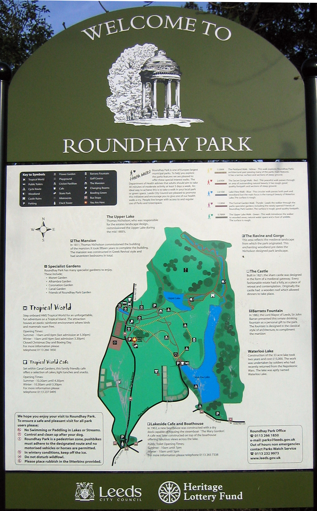
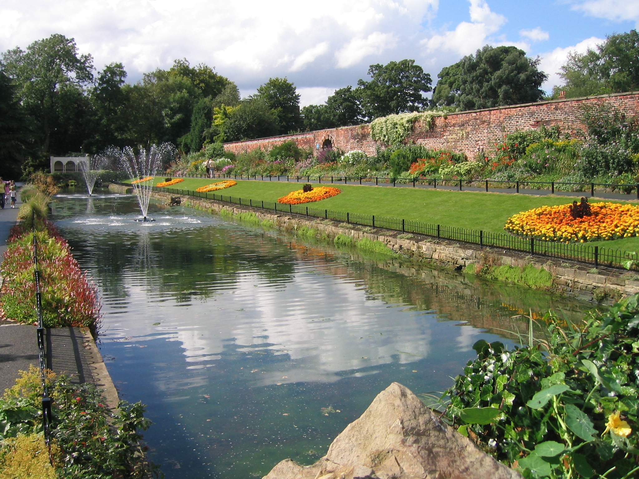
Roundhay Park
Roundhay Park in Leeds, West Yorkshire, England, is one of the biggest city parks in Europe. It covers more than 700 acres (2.8 km2) of parkland, lakes...
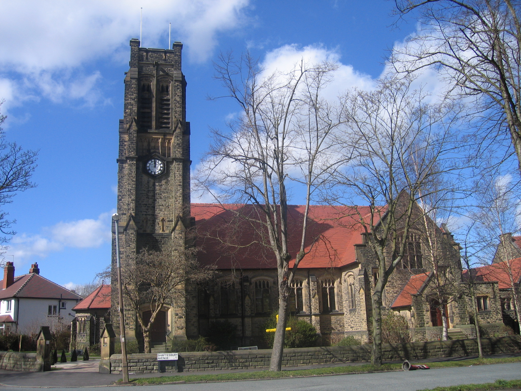
St Andrew's Roundhay United Reformed Church
St Andrew's Roundhay is in Shaftesbury Avenue, Roundhay, Leeds, West Yorkshire, England. It is an active United Reformed Church in Leeds. The church and...

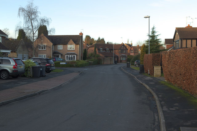
Shadwell, West Yorkshire
Shadwell is a village and civil parish in north-east Leeds, West Yorkshire, England. The village is 6 miles (9.7 km) to the north east of Leeds city centre...

Allerton Grange School
Allerton Grange School is a coeducational secondary school and sixth form located in Moortown, Leeds, West Yorkshire, England. The school has around 1...
Roundhay
Roundhay is a large suburb in north-east Leeds, West Yorkshire, England. Roundhay had a population of 22,546 in 2011.It sits in the Roundhay ward of Leeds...
Nearby Amenities
Located within 500m of 53.848657,-1.5033132Have you been to Addyman Wood?
Leave your review of Addyman Wood below (or comments, questions and feedback).