Lynch Wood
Wood, Forest in Berkshire
England
Lynch Wood

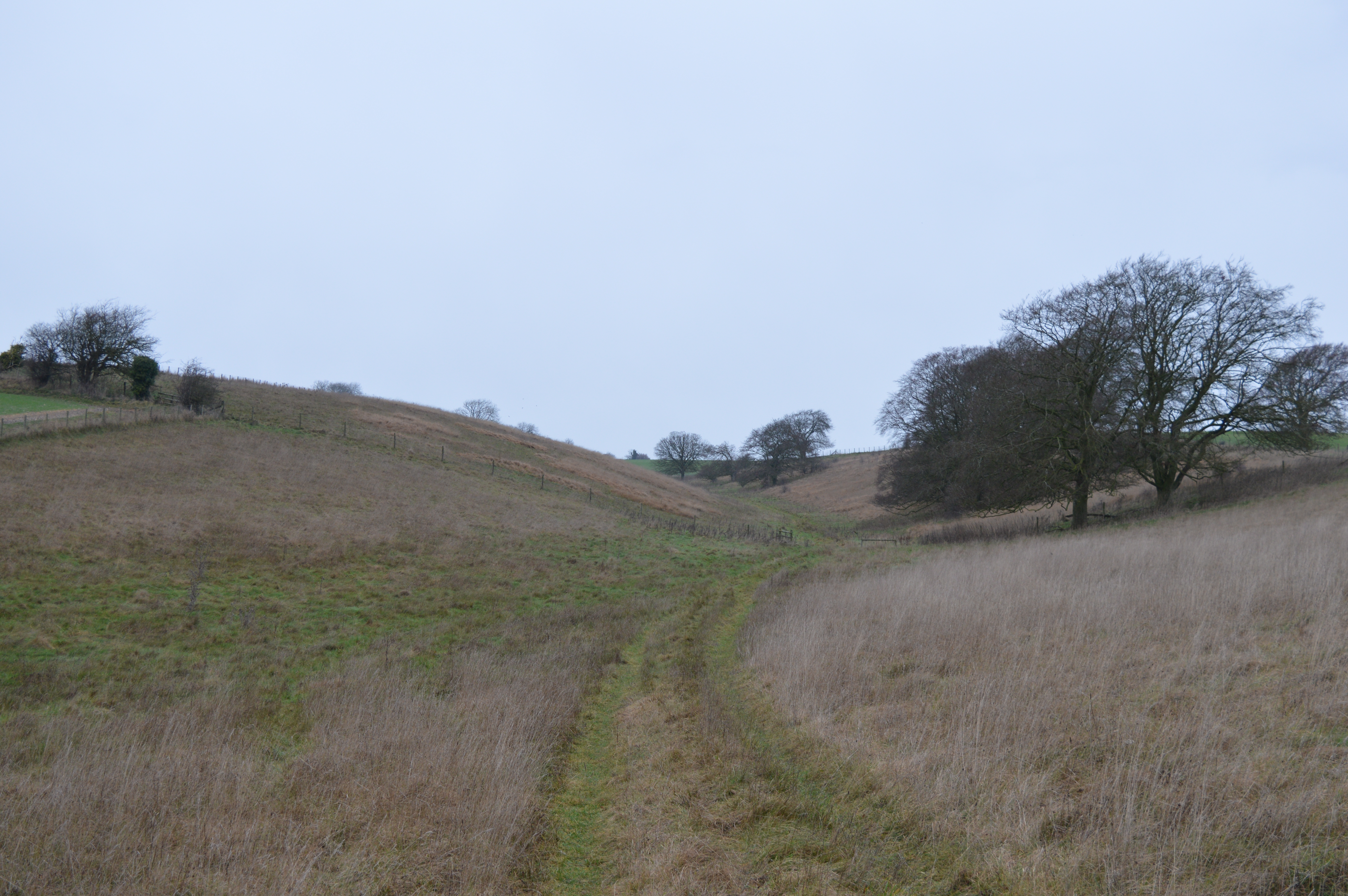
Lynch Wood is a picturesque forest located in the county of Berkshire, England. Covering an area of approximately 500 acres, it offers a serene escape from the bustling urban life, providing a haven for nature enthusiasts and outdoor lovers. The forest is characterized by its dense woodland, comprising a mix of broadleaf and coniferous trees that provide a rich habitat for a variety of flora and fauna.
Walking through Lynch Wood, visitors are greeted by a tranquil atmosphere and an abundance of natural beauty. The forest floor is carpeted with a diverse array of wildflowers, creating a colorful spectacle during spring and summer months. The towering trees provide a canopy that dapples sunlight on the forest floor, creating an enchanting ambiance. The sound of birdsong fills the air, as various avian species make their home in the forest.
Lynch Wood is also home to a number of walking trails, allowing visitors to explore the forest's nooks and crannies. Whether it's a leisurely stroll or a more challenging hike, there are options available for all fitness levels. These trails wind through the forest, offering glimpses of hidden ponds, babbling brooks, and perhaps even some wildlife sightings.
As a protected area, Lynch Wood is carefully managed to ensure the preservation of its natural resources. It serves as an important habitat for a range of wildlife, including deer, foxes, owls, and a plethora of smaller mammals and bird species. Conservation efforts are also undertaken to maintain the biodiversity and ecological balance of the forest.
Lynch Wood is a true gem in the heart of Berkshire, offering visitors a chance to immerse themselves in nature and experience the tranquility of a woodland setting. Whether it's for a leisurely walk, a picnic, or simply to connect with nature, Lynch Wood provides a serene and captivating experience for all who visit.
If you have any feedback on the listing, please let us know in the comments section below.
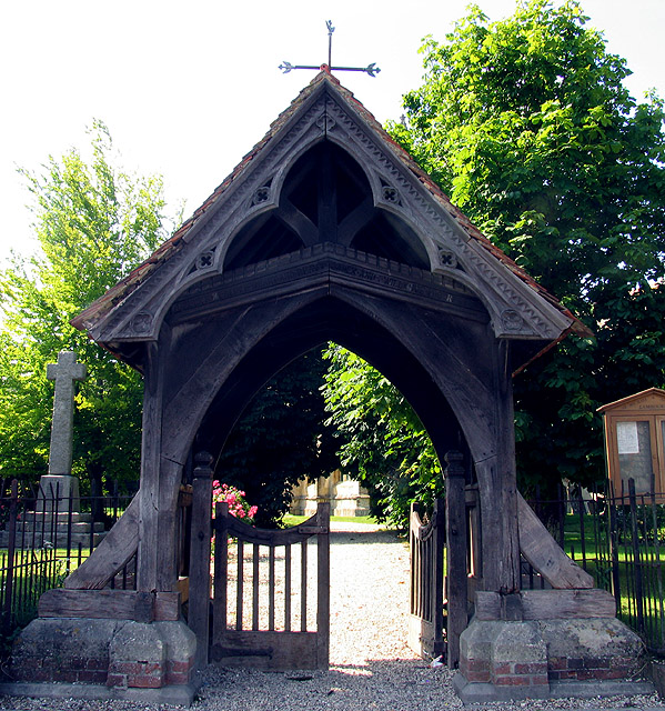
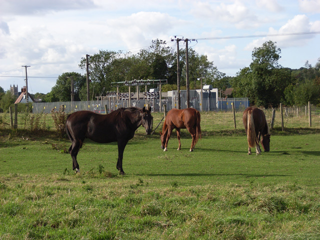
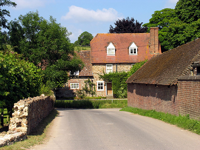
Lynch Wood Images
Images are sourced within 2km of 51.514199/-1.5312157 or Grid Reference SU3279. Thanks to Geograph Open Source API. All images are credited.


Lynch Wood is located at Grid Ref: SU3279 (Lat: 51.514199, Lng: -1.5312157)
Unitary Authority: West Berkshire
Police Authority: Thames Valley
What 3 Words
///recruited.vase.outwards. Near Lambourn, Berkshire
Nearby Locations
Related Wikis

Lambourn
Lambourn is a village and civil parish in Berkshire, England. It lies just north of the M4 Motorway between Swindon and Newbury, and borders Wiltshire...
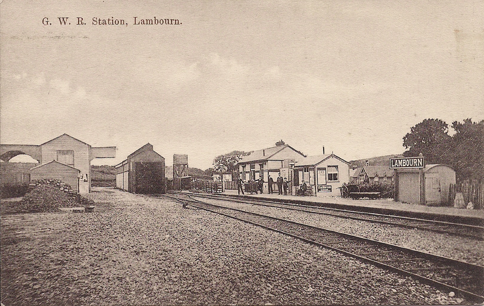
Lambourn railway station
Lambourn railway station was a railway station in Lambourn, Berkshire, UK, on the Lambourn Valley Railway. == History == The station opened on 4 April...
Upper Lambourn
Upper Lambourn is a small village in the county of Berkshire, England. The village is situated in the civil parish of Lambourn , and is 1.2 miles (2 km...
Croker's Hole
Croker's Hole is a 4.4-hectare (11-acre) biological Site of Special Scientific Interest north of Upper Lambourn in Berkshire.The site is a narrow grassland...

Watts Bank
Watts Bank is a 1.9-hectare (4.7-acre) nature reserve south of Lambourn in Berkshire. It is managed by the Berkshire, Buckinghamshire and Oxfordshire...

M4 corridor
The M4 corridor is an area in the United Kingdom adjacent to the M4 motorway, which runs from London to South Wales. It is a major hi-tech hub. Important...
Eastbury Halt railway station
Eastbury Halt railway station was a railway station in Eastbury, Berkshire, UK, on the Lambourn Valley Railway. == History == The station opened on 4 April...

Fognam Chalk Quarry
Fognam Chalk Quarry is a 3-hectare (7.4-acre) geological Site of Special Scientific Interest west of Upper Lambourn in Berkshire. It is a Geological Conservation...
Nearby Amenities
Located within 500m of 51.514199,-1.5312157Have you been to Lynch Wood?
Leave your review of Lynch Wood below (or comments, questions and feedback).